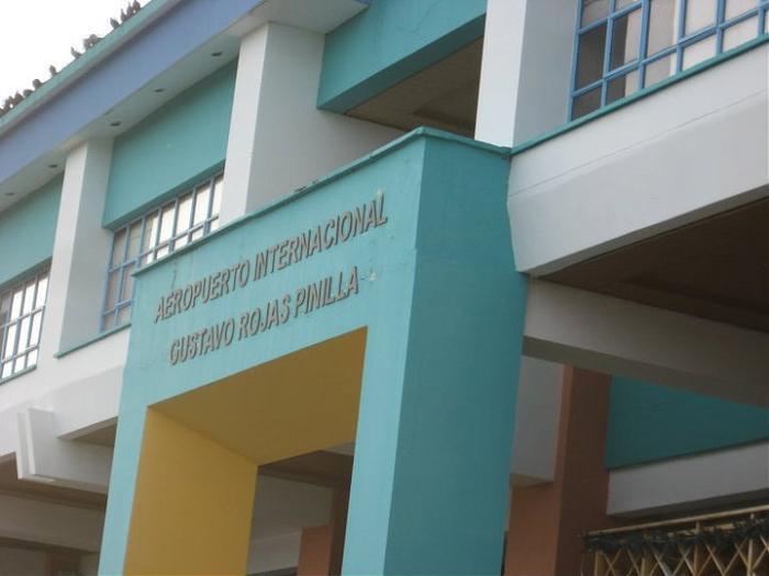
Gustavo Rojas Pinilla International Airport (San Andrés Colombia)
Colombia /
San Andres y Providencia /
San Andres /
San Andrés Colombia
World
/ Colombia
/ San Andres y Providencia
/ San Andres
World / Colombia / San Andrés y Providencia
airport
Add category


Wikipedia article: http://en.wikipedia.org/wiki/Gustavo_Rojas_Pinilla_International_Airport
Nearby cities:
Coordinates: 12°35'1"N 81°42'40"W
- Punta Huete Airport 488 km
- Goloson International Airport 659 km
- Soto Cano Air Base 671 km
- El Salvador International Airport 805 km
- Mundo Maya International Airport (IATA: FRS, ICAO: MGTK) 1003 km
- Vilo Acuña Airport 1007 km
- Rafael Cabrera Mustelier Airport 1037 km
- Cozumel International Airport 1047 km
- Cancún International Airport (CUN/MMUM) 1094 km
- Manuel Crescencio Rejon International Airport 1259 km
- San Andres Island 5.1 km
- Botanical Garden 5.3 km
- Little Corn Island 142 km
- Great Corn Island 153 km
- Unknown Islands 187 km
- MONKEY POINT 237 km
- Punta Aguila 246 km
- outlet of the Punta Gorda River 255 km
- Reserva Natural Cerro Silva 268 km
- EAGLE PORT 287 km