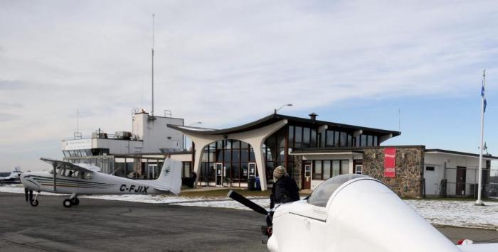
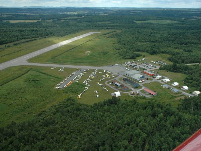
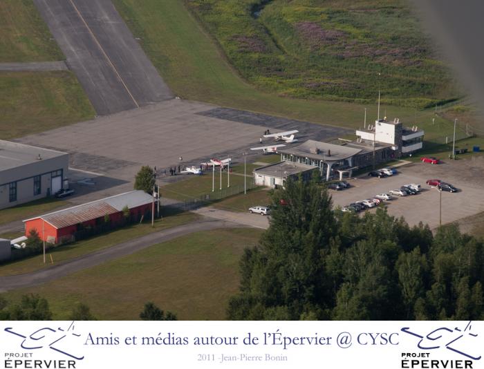
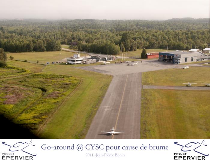
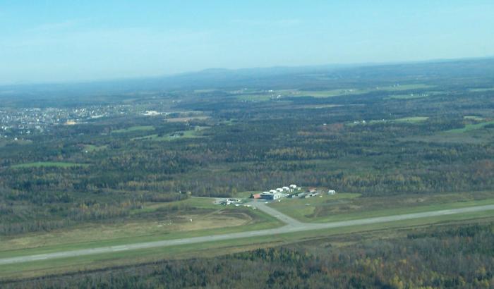
Sherbrooke Airport « CYSC »
Canada /
Quebec /
East Angus /
Chemin de l'Aéroport, 900
World
/ Canada
/ Quebec
/ East Angus
World / Canada / Québec / Le Haut-Saint-François
airport, municipal


Website: www.aeroportdesherbrooke.com/home.htm
FAA Identifier: CYSC
Lat/Long: 45-26-17.0000N 071-41-26.0000W
45-26.283333N 071-41.433333W
45.4380556,-71.6905556
(estimated)
Elevation: 792 ft. / 241 m (estimated)
Variation: 17W ()
From city: 9 miles ENE of SHERBROOKE,
Time zone: UTC -5 (UTC -4 during Daylight Saving Time)
Zip code: 03592
Airport Operations
Airport use: Open to the public
Activation date: 03/2005
Control tower: no
ARTCC: MONTREAL CENTER
FSS: QUEBEC FLIGHT SERVICE STATION
Attendance:
Segmented circle: no
Nearby cities:
Coordinates: 45°26'18"N 71°41'27"W
- Bromont Airport 85 km
- Jean Lesage International Airport (YQB/CYQB) 154 km
- Charlevoix Airport (CYML / YML) 266 km
- Rivière-du-Loup Airport 305 km
- Northern Maine Regional Airport 314 km
- CFB Bagotville 327 km
- Loring International Airport and Loring Commerce Centre 337 km
- Loring International Aiport (ME16) 338 km
- Chicoutimi/Saint-Honoré Aerodrome 348 km
- Mont-Joli Airport 441 km
- Lake Moffat 33 km
- Scots Bog Regional Park 38 km
- Massif of Mont Mégantic 41 km
- Mont-Mégantic National Park 42 km
- Franceville Mountain 42 km
- Mount Saint-Joseph 45 km
- Pittsburg, New Hampshire 45 km
- Mount-Victoria 45 km
- Second Connecticut Lake 52 km
- First Connecticut Lake 52 km