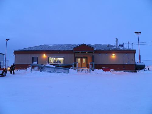
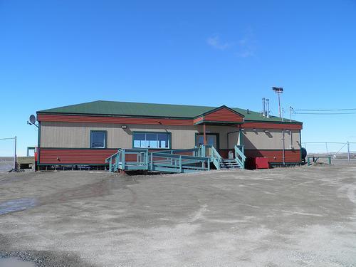
Ulukhaktok/Holman Airport
Canada /
Manitoba /
Snow Lake /
World
/ Canada
/ Manitoba
/ Snow Lake
World / Canada / Northwest Territories / Inuvik
airport
Add category
IATA: YHI – ICAO: CYHI
Nearby cities:
Coordinates: 70°45'38"N 117°48'21"W
- Kugluktuk Airport 343 km
- Inuvik (Mike Zubko) Airport (YEV/CYEV) 667 km
- Fort McPherson Airport 770 km
- Resolute Bay Airport 865 km
- Vuntut national Park. 907 km
- Deadhorse Airport (Prudhoe Airport) (SCC) 1131 km
- Fort Yukon Airport (FYU) 1192 km
- Galbraith Lake Airport (GBH) 1239 km
- Ralph Wien Memorial Airport - Kotzebue, AK 1807 km
- Shmidt Cape, Mys Schmidia Airfield Arctic Control Group Bomber Bases 2272 km
- big lake 141 km
- Cape Lambton 191 km
- south-western lakes 202 km
- Prince of Wales Strait 206 km
- Centre of "Tunnunik" impact structure 233 km
- lake 265 km
- Peel Point 310 km
- Passage Point 318 km
- Shoran Lake 319 km
- Mercy Bay 374 km