Qikiqtarjuaq Airport (YVM/CYVM)
Canada /
Nunavut /
Pangnirtung /
World
/ Canada
/ Nunavut
/ Pangnirtung
World / Canada / Nunavut / Baffin
airport
Add category
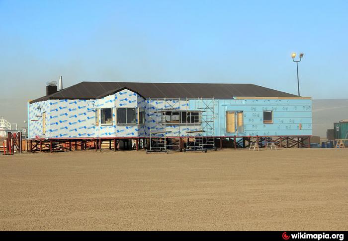
Constructed in 1956 to support and resupply the nearby FOX-5 DEW Line site, today the Qikiqtarjuaq Airport serves the village of Qikiqtarjuaq and surrounding communities and offers scheduled passenger service to Pangnirtung through First Air and Canadian North Airlines.
Runway 3/21: Gravel: 3,475ft
flightaware.com/live/airport/CYVM
Runway 3/21: Gravel: 3,475ft
flightaware.com/live/airport/CYVM
Wikipedia article: http://en.wikipedia.org/wiki/Qikiqtarjuaq_Airport
Nearby cities:
Coordinates: 67°32'47"N 64°1'54"W
- Kangerlussuaq/Søndre Stromfjord Airport (SFJ/BGSF) 572 km
- Hall Beach Airport (YUX/CYUX) 724 km
- Mary River Iron Ore Project Airstrip 730 km
- Nanisivik Airport (YSR/CYSR) 975 km
- Arctic Bay Airport (YAB/CYAB) 988 km
- Thule Air Base 1015 km
- Qaanaaq International Airport 1120 km
- ECHELON - Canadian Forces Station Alert 1666 km
- CFS Alert Airport 1668 km
- Alert, Nunavut 1668 km
- Qikiqtarjuaq (Broughton) Island 6.4 km
- North Pangnirtung Fjord 47 km
- Padloping Island 78 km
- Maniyung Island 94 km
- Durban Island 94 km
- Highway Glacier 96 km
- Nedlukseak Island 100 km
- Penny Ice Cap 108 km
- Kekertaluk Island 125 km
- Aulitiving Island 265 km