Tiksi Airport Air Base
Russia /
Saha /
Tiksi /
World
/ Russia
/ Saha
/ Tiksi
, 5 km from center (Тикси)
World
airport, military airbase
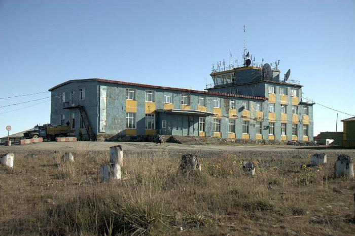
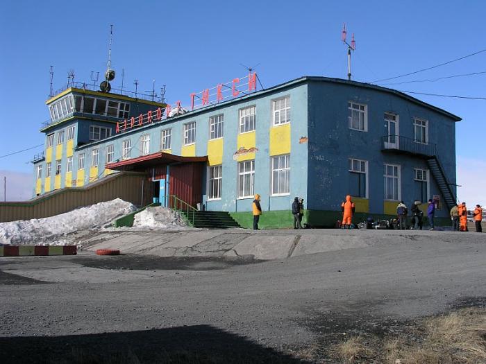
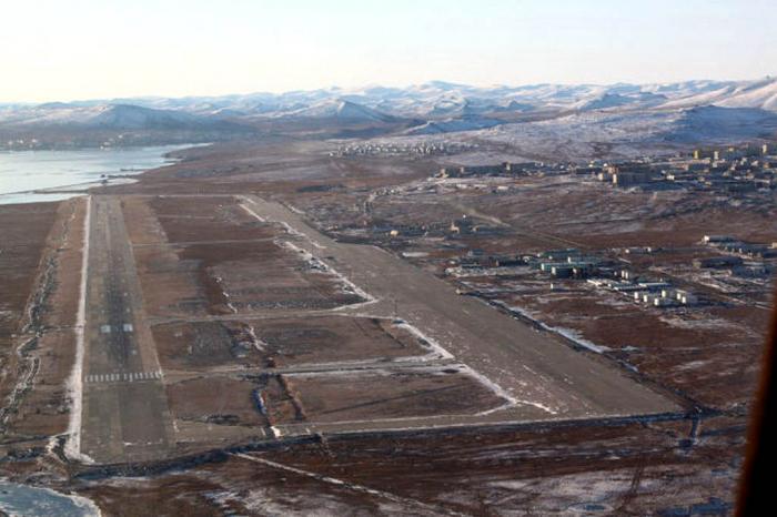
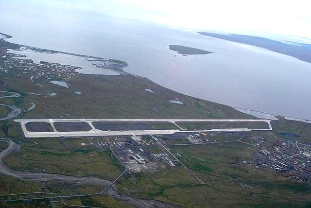
Tiksi
Location: 1 km NE Tiksi, Yakutia, RU
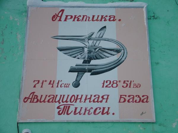
Coordinates: 71°41.8'N 128°54.2'E Google TerraServer Multimap GeoURL
Elevation: 9 m (30 ft)
ICAO:UEST
Runway:3001 m (9846 ft) (CONC)
Military units:Mixed use. 24 OTAE. OGA (Arctic Control Group).
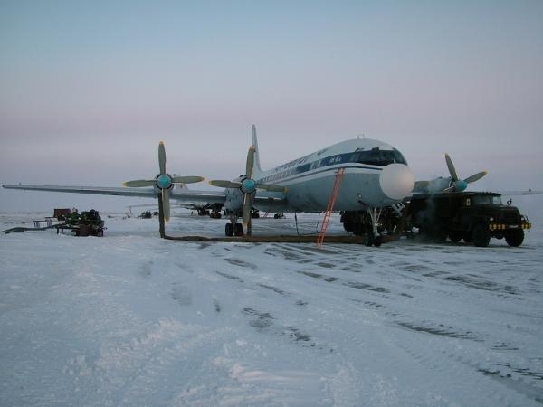
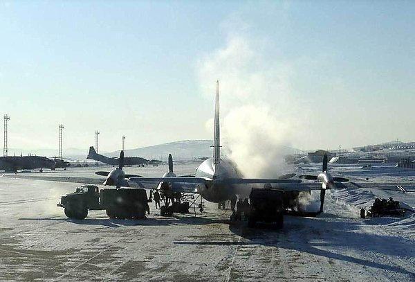
Built in 1950s as a staging base for Soviet bombers to reach the U.S. It is used regularly by Tu-95s in exercises, including one in 1999, in which bombers practice travelling to the Canadian arctic. Tiksi North and Tiksi West no longer exist.
Location: 1 km NE Tiksi, Yakutia, RU
Coordinates: 71°41.8'N 128°54.2'E Google TerraServer Multimap GeoURL
Elevation: 9 m (30 ft)
ICAO:UEST
Runway:3001 m (9846 ft) (CONC)
Military units:Mixed use. 24 OTAE. OGA (Arctic Control Group).
Built in 1950s as a staging base for Soviet bombers to reach the U.S. It is used regularly by Tu-95s in exercises, including one in 1999, in which bombers practice travelling to the Canadian arctic. Tiksi North and Tiksi West no longer exist.
Wikipedia article: http://en.wikipedia.org/wiki/Tiksi_Airport
Nearby cities:
Coordinates: 71°41'51"N 128°53'40"E
- Batagay Airport 502 km
- Ebelyakh Airfield 553 km
- Chokurdakh Airport 689 km
- Olenyok Airport 712 km
- Аэропорт "Белая Гора" 738 km
- Srednekolymsk Airport 1061 km
- Ostrov Bolsjevik Flying Base 1087 km
- Dresba Air Base abandoned airfield 1221 km
- Chersky Airport 1248 km
- Pevek Airport 1513 km
- Taxiway 0.1 km
- apron 0.5 km
- Fuel tank 1.8 km
- Radio station 3.6 km
- Diesel power station 6.4 km
- Oil tanks 6.9 km
- Tiksi West 7.3 km
- Tiksi NAVTEX-transmitter 7.6 km
- Kosistiy Cape 15 km
- Neelova Gulf 19 km