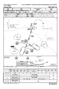


SBAT - Piloto Osvaldo Marques Dias
Located in Alta Floresta, Brazil
ICAO - SBAT, IATA - AFL
Data provided by AirmateGeneral information
Coordinates: S9°51'59" W56°6'18"
Elevation is 948 feet MSL.
Magnetic variation is -17.0544703° East View others Airports in Mato Grosso
Operational data
Special qualification required
Current time UTC:
Current local time:
Weather
TAF: TAF SBAT 280300Z 2806/2818 06005KT 9999 SCT020 TN28/2812Z TX34/2818Z RMK PHD
Communications frequencies: [VIEW]
Runways:
| RWY identifier | QFU | Length (ft) | Width (ft) | Surface | LDA (ft) |
| 04 | 0° | 2620 | 280 | ASPH | |
| 22 | 0° | 2620 | 280 | ASPH |
Airport contact information
Address: Alta Floresta Brazil