
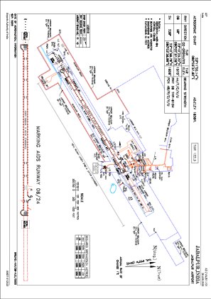


VAJB - Jabalpur Airport, Jabalpur
Located in Jabalpur, India
ICAO - VAJB, IATA - JLR
Data provided by AirmateGeneral information
Coordinates: N23°11'0" E80°3'38"
Elevation is 1622 feet MSL.
View others Airports in Madhya Pradesh
Operational data
Special qualification required
Current time UTC:
Current local time:
Weather
METAR: VAJB 080500Z 20010G20KT 6000 NSC 33/17 Q1010 NOSIG
TAF: TAF VAJB 080500Z 0806/0815 23010G20KT 6000 FEW025 SCT100
Communications frequencies: [VIEW]
Runways:
| RWY identifier | QFU | Length (ft) | Width (ft) | Surface | LDA (ft) |
| 06 | 59° | 9022 | 148 | ASP | |
| 24 | 239° | 9022 | 148 | ASP |
Airport contact information
Address: Jabalpur India