METAR-TAF
Airports :
Quetzaltenango Airport
Quetzaltenango, Guatemala
latitude: 14-50N, longitude: 091-31W, elevation: 2500 m
Current weather observation
The report was made 8 hours and 22 minutes ago, at 00:00 UTC
Temperature 20°C
Humidity 73%
Pressure
Visibility: 6000 m
Scattered clouds at a height of 1800 ft
Few clouds at a height of 2500 ft, Cumulonimbus.
Broken clouds at a height of 7000 ft
Few clouds at a height of 2500 ft, Cumulonimbus.
Broken clouds at a height of 7000 ft
thunderstorm, showers in vicinity, haze,
METAR: MGQZ 060000Z 0000KT 6000 TS VCSH SCT018 FEW025CB BKN070 20/15 QFE 772/6 CB/TS/PCPN S/SW HZ
Time: 02:22 (08:22 UTC)
TAF: missing
Weather observations and forecasts of more than 4000 airports (METAR and TAF reports).
The available stations are represented by yellow and red dots on the map.
Hover mouse over dot to see the name of the station.
Then click to see weather observations and forecasts.
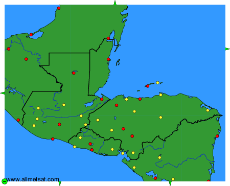
To change the map : click on the green buttons with a black cross to zoom in, on the green button with a dash to zoom out, or on the green arrows for adjacent maps.