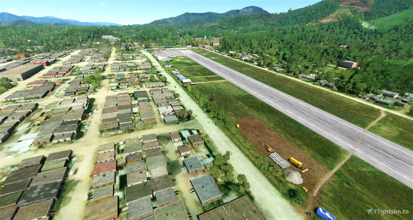
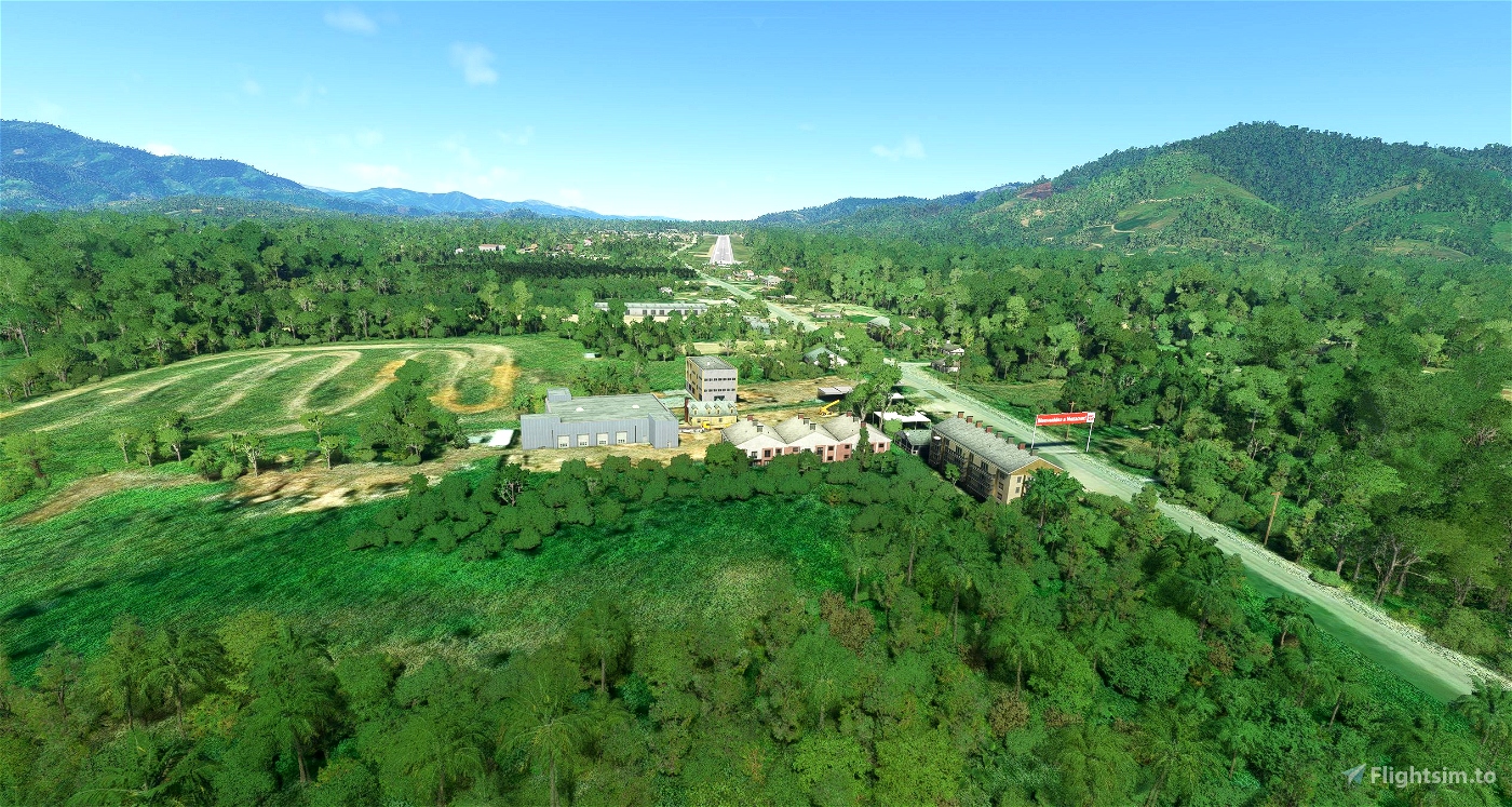
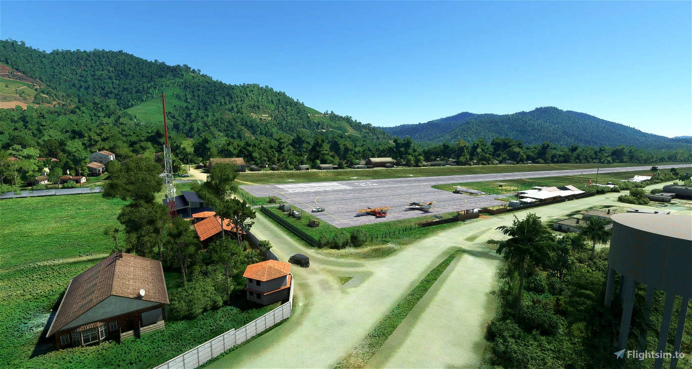
This airport is in Mazamari, Peru; the eastern part of the region “Junin”, in the tropical and mountainous east ridge of Andean Mountains, entry point for the amazon rainforest, specifically for the valleys of Apurimac, Ene and Mantaro rivers (VRAEM). This airport replaces the former and now closed and overbuilt airport of the main city in this region: Satipo. The City of Mazamari is known for its base and training location for the paratrooping unit of the National Police of Peruvian “Sinchis de Mazamari”, just south of the airport.
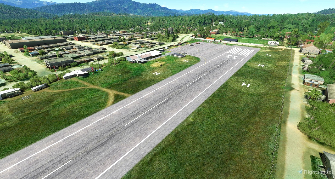
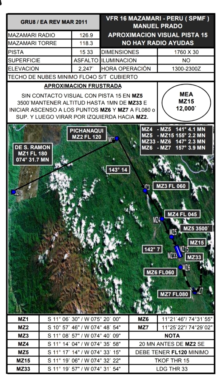
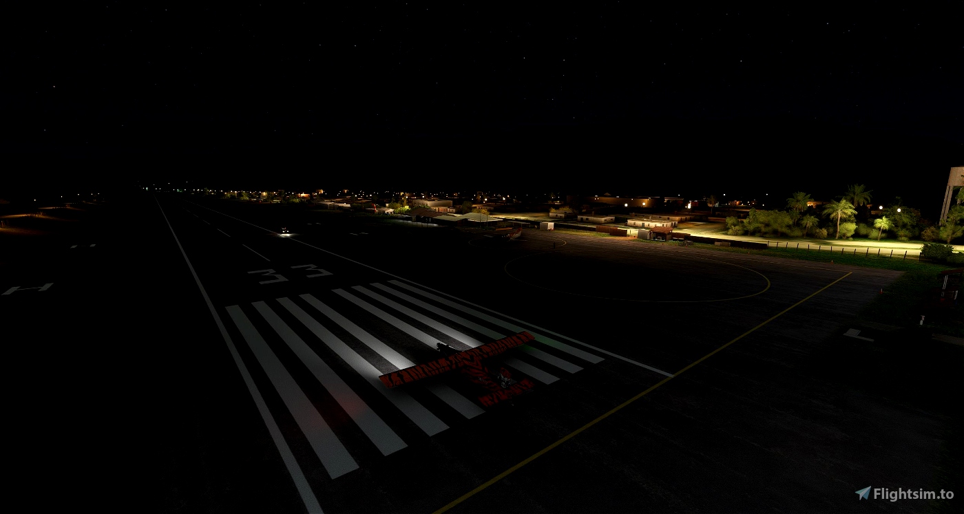
Elevation at 2180 ft, Runway (15/33) 5781’, landing only RWY15 with PAPI2 (VFR day: 1300-2300Z / 08:00-18:00 Local) and takeoff only RWY33, TWR 118.30, UNICOM 126.90. Includes also 5 Helicopter Landing Areas as in real life
The default scenery was enhanced based on bing-, google- and open street map, on photos from June 2023 and on additional documentation used in real life. Many thanks for the collaboration of real pilot Baltazar!
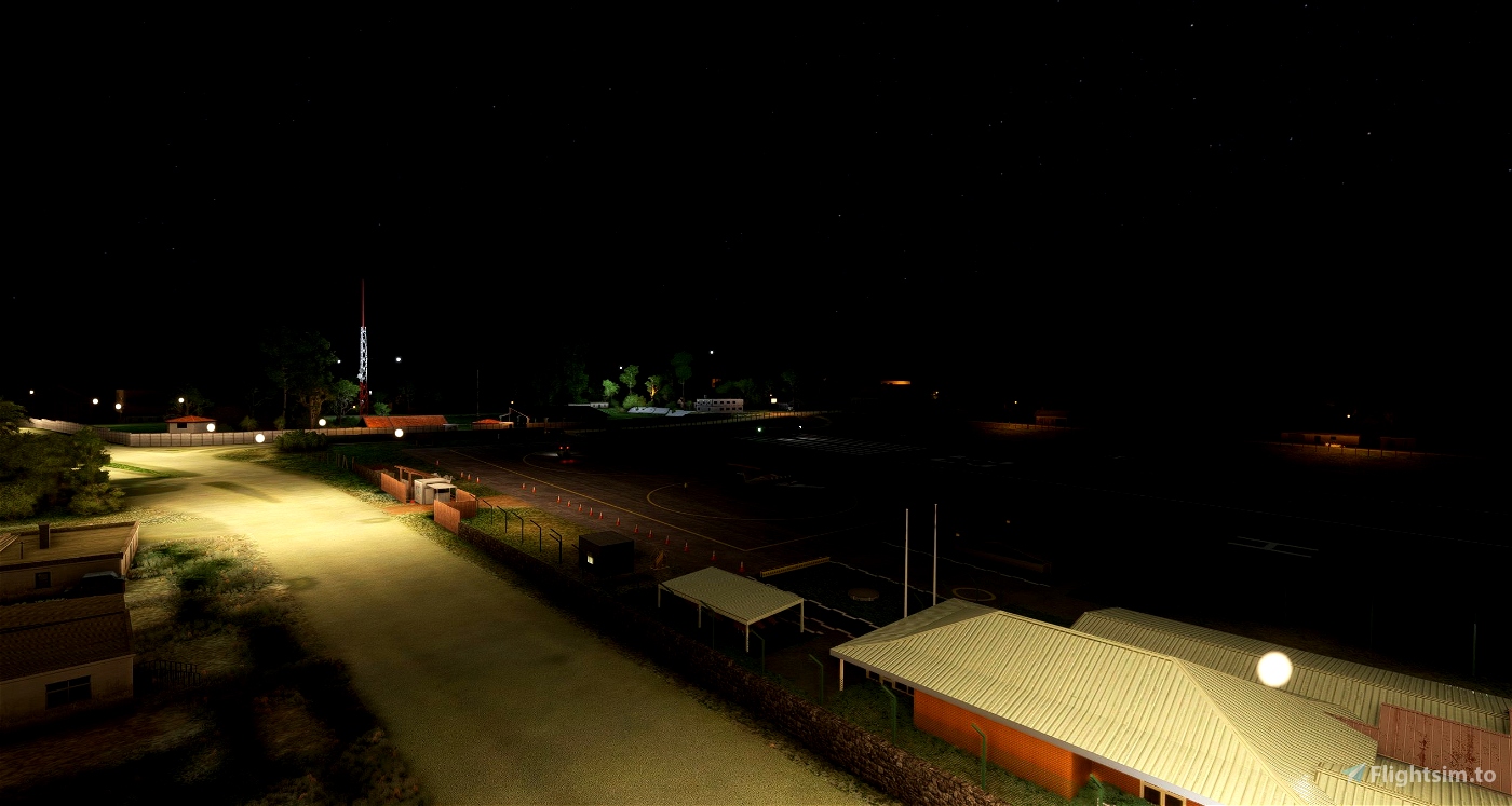
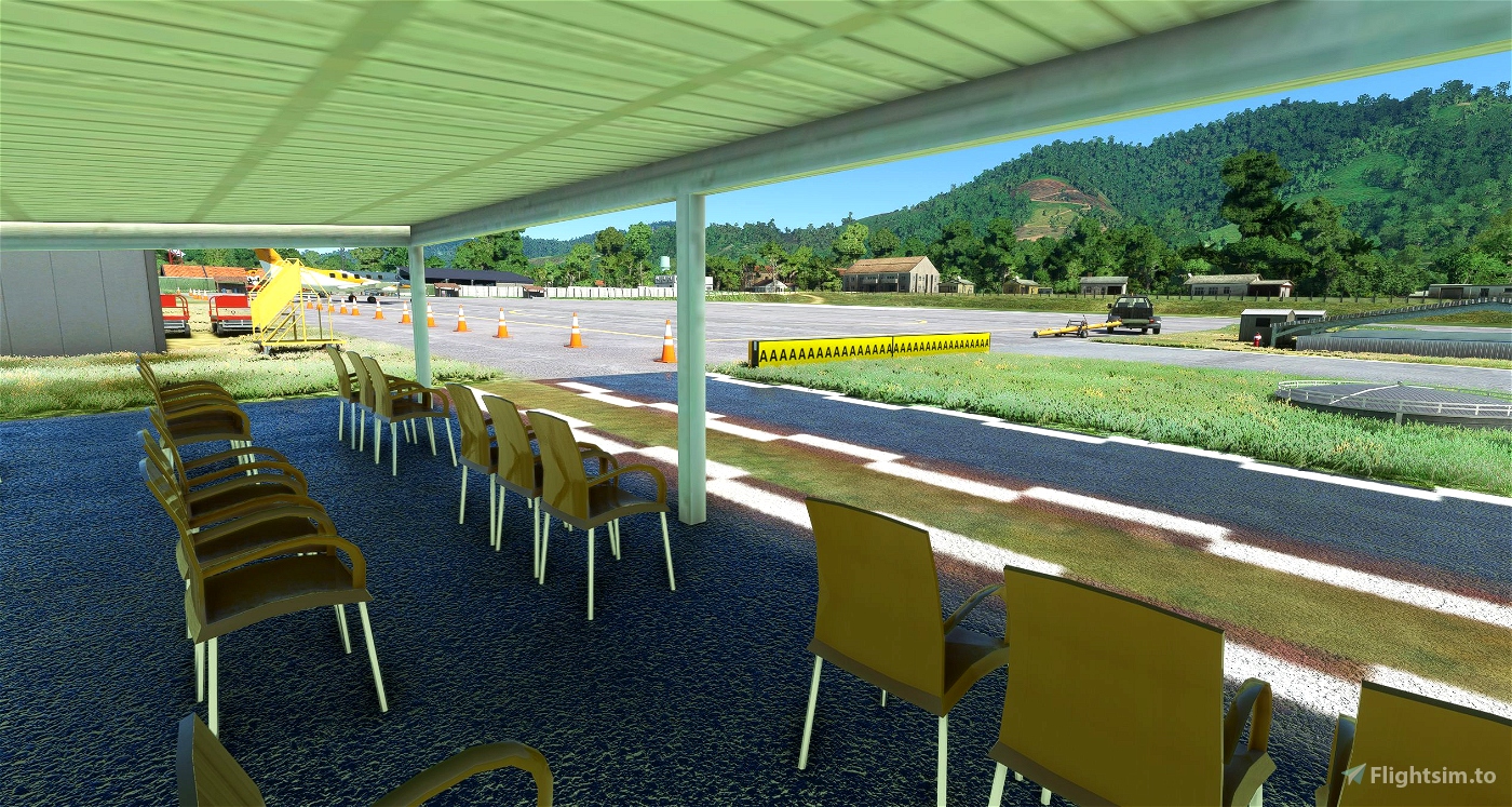
This scenery is a frame friendly edition and was built only with basic / NOT custom* Objects (Buildings, Cars, Chairs, etc.); all from Freeware Object Libraries and Microsoft/Asobo Default and “World Update” -Objects, so if you have already installed these you will see all objects.
Scenery you need to have installed:
Freeware:
MSFS World Updates (Airport ICAO):
- Default: VNLK, WX53, SCVH
- AUSTRALIA: YCAB, YLRE
- OCEANIA: PTPN
- GERMANY/AUSTRIA/SWITZERLAND: EDDS, EDJA, LSZA
- ITALY & MALTA: LILC, LIPB
- USA: KAVX, KFHR
- UNITED KINGDOM: EGGP
- NORDICS EUROPE: EKRN
- CANADA: CYDA, CYDF, CYFB
- 40TH ANNIVERSARY: VHHX (Kai Tak)
*a red street letter as VFR Appproach Reference
many thanks for your inputs! if you like to give me a "thank-you", write a comment or/and with buymeacoffee.com/coJeFd5AFZ
qowiboy - Francis
