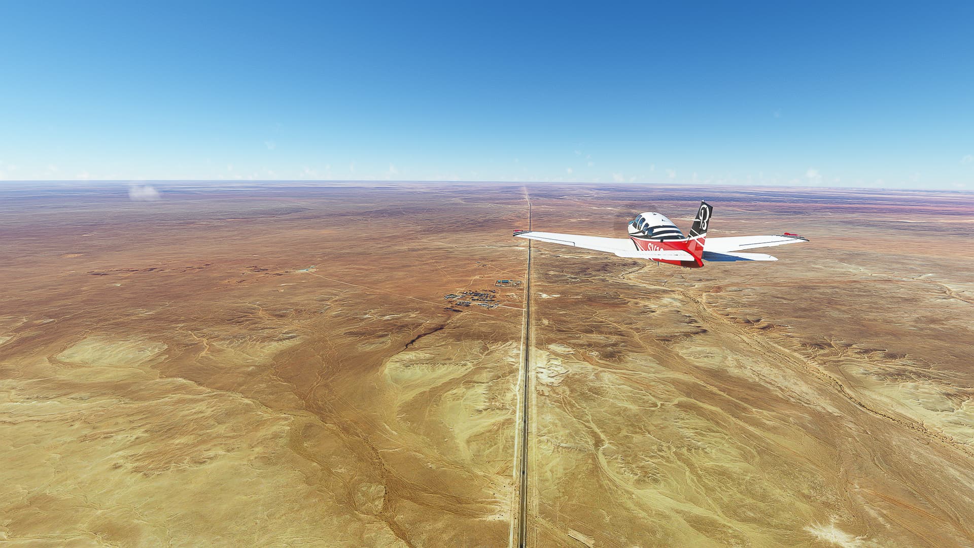
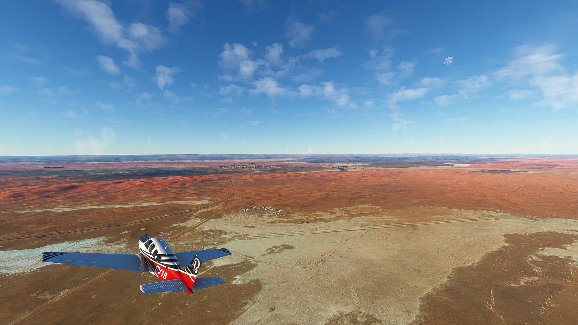
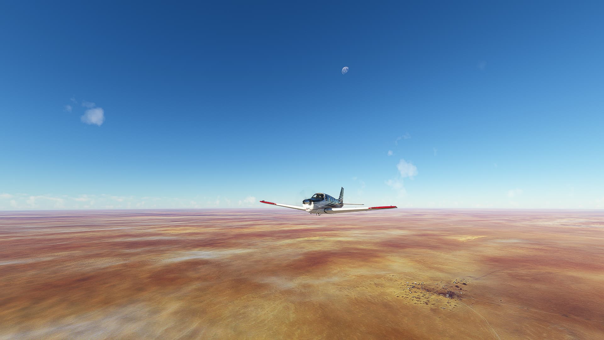
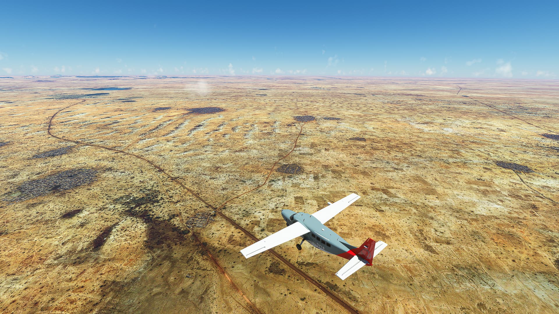
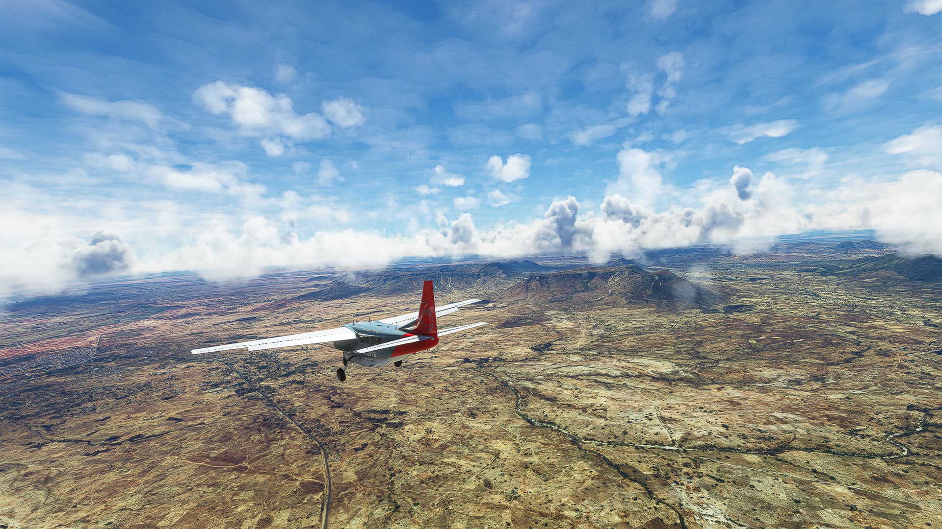
Karthago (DTTA) - Thyna (DTTX).
Tunesia.
Flight No. 018.
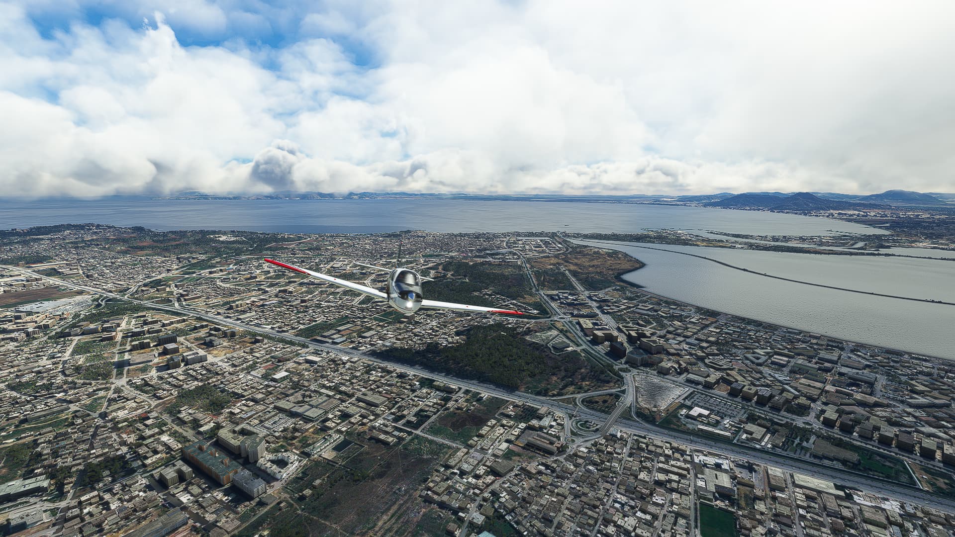
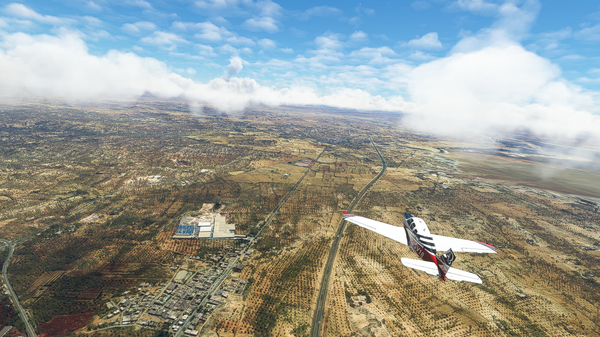
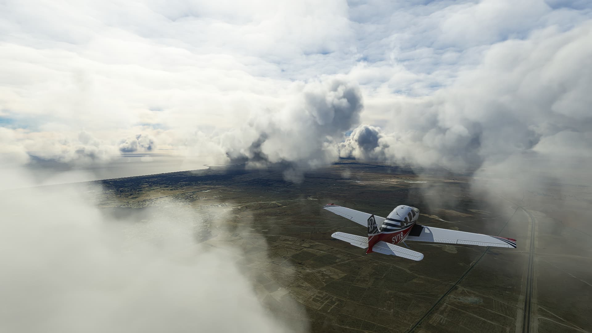
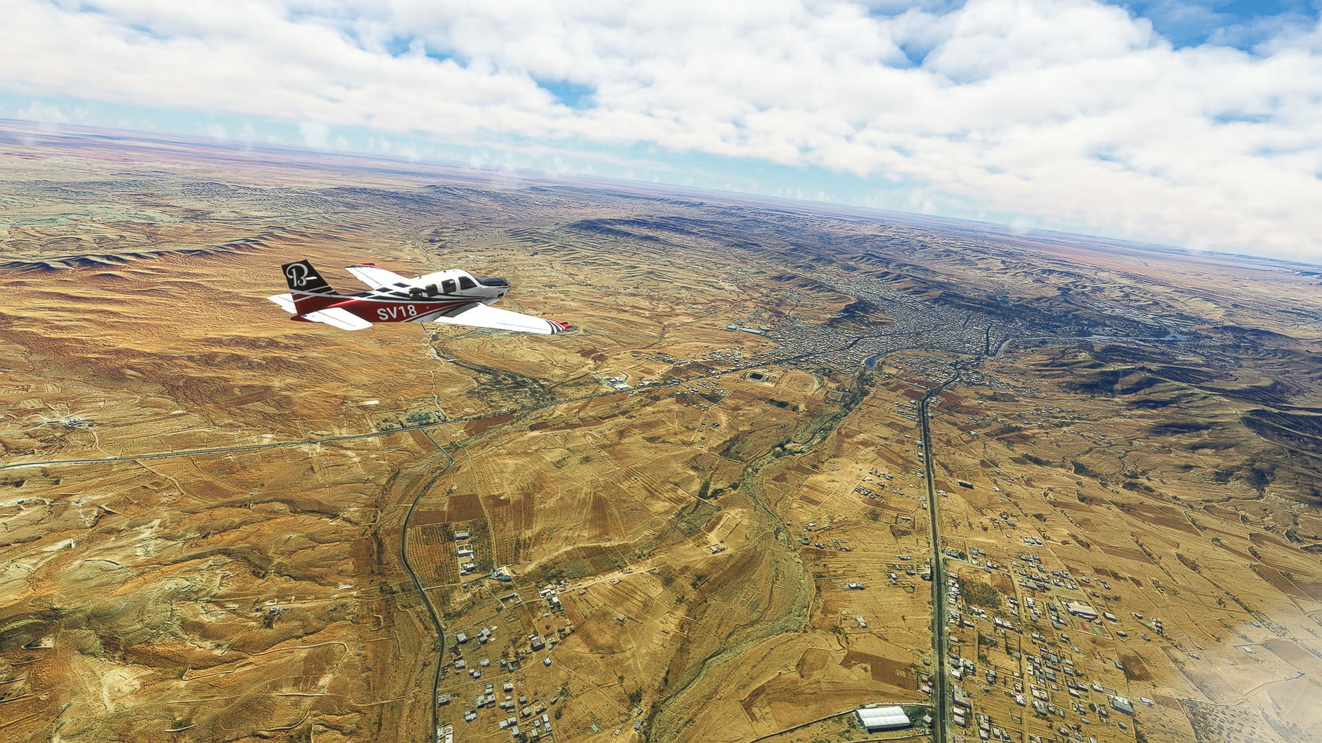
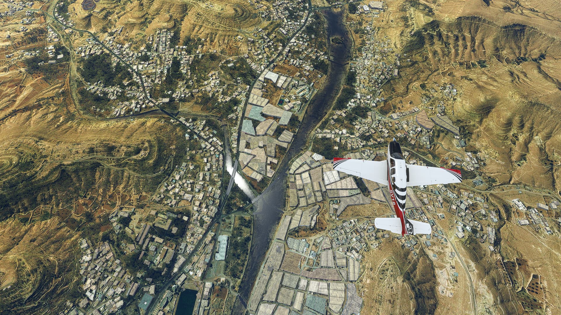
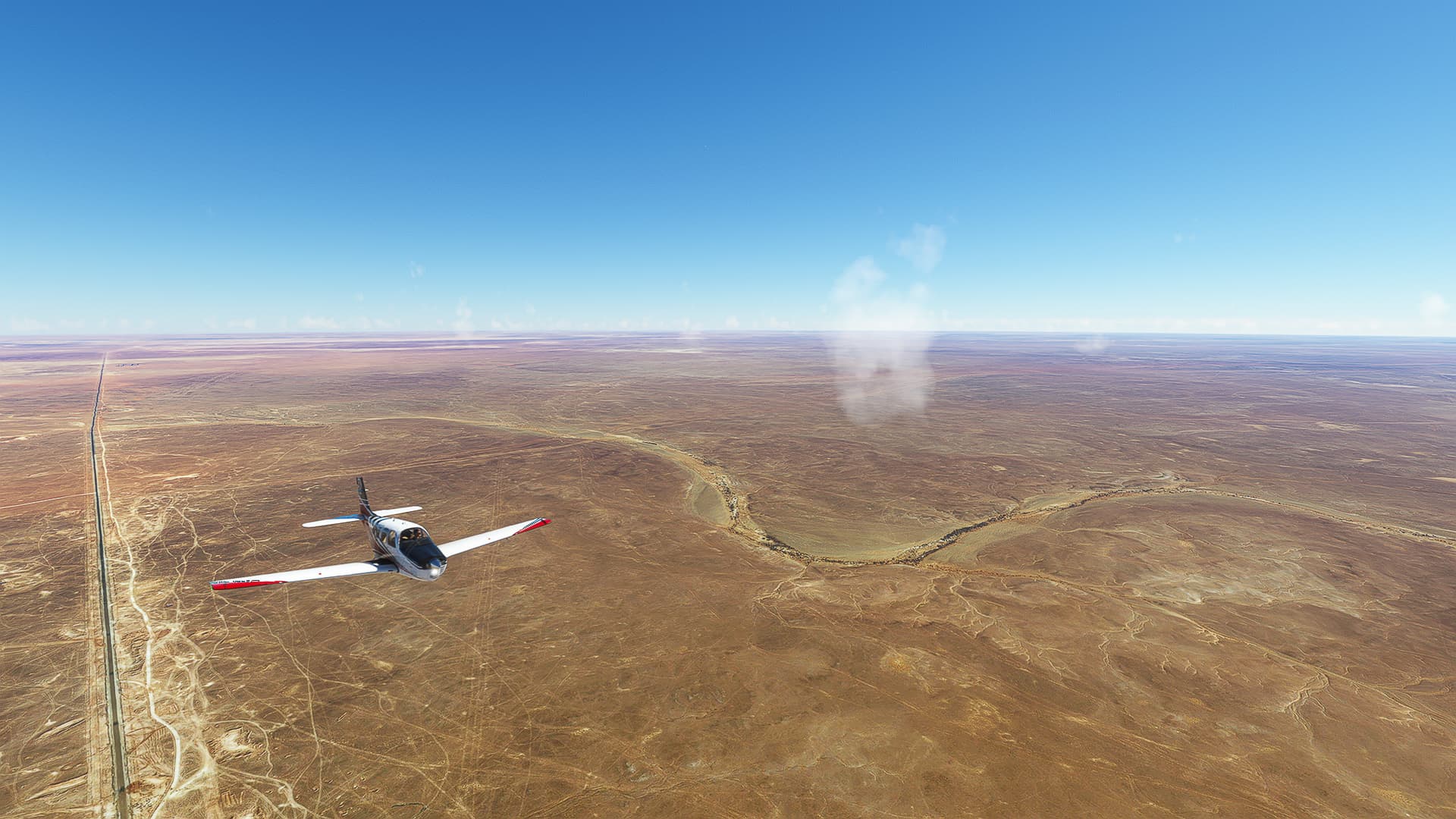
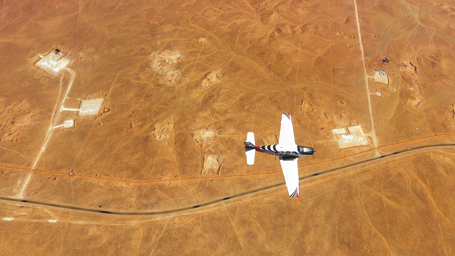
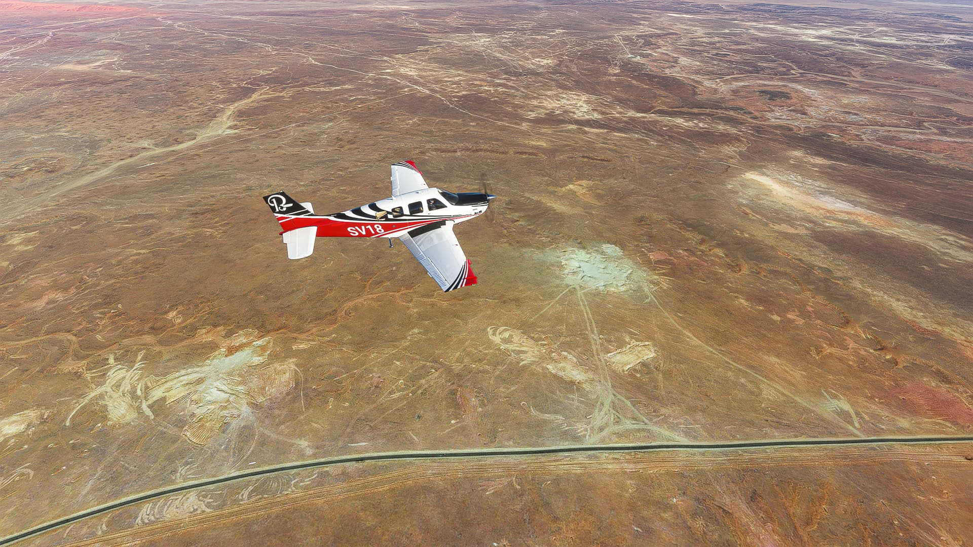
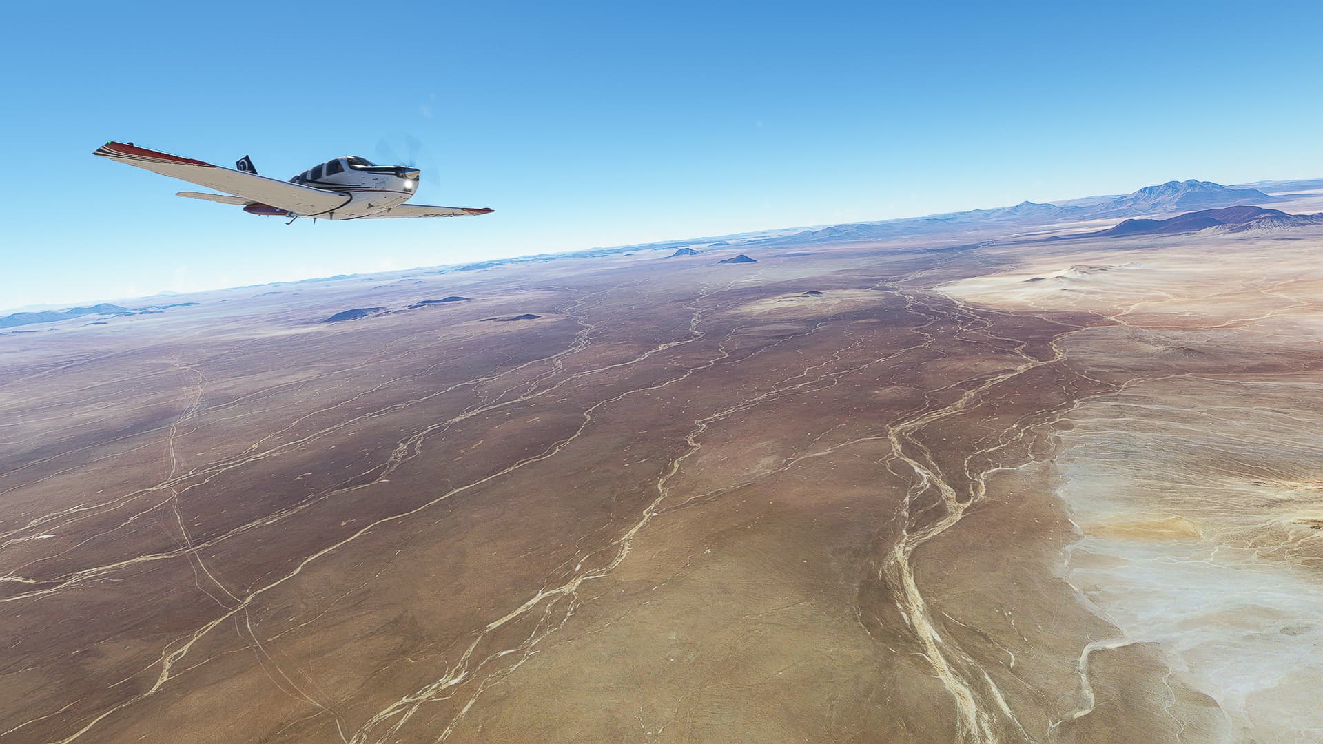
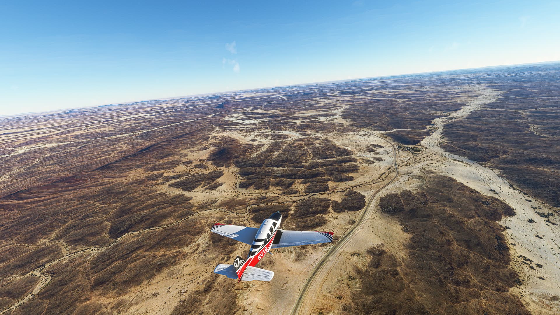
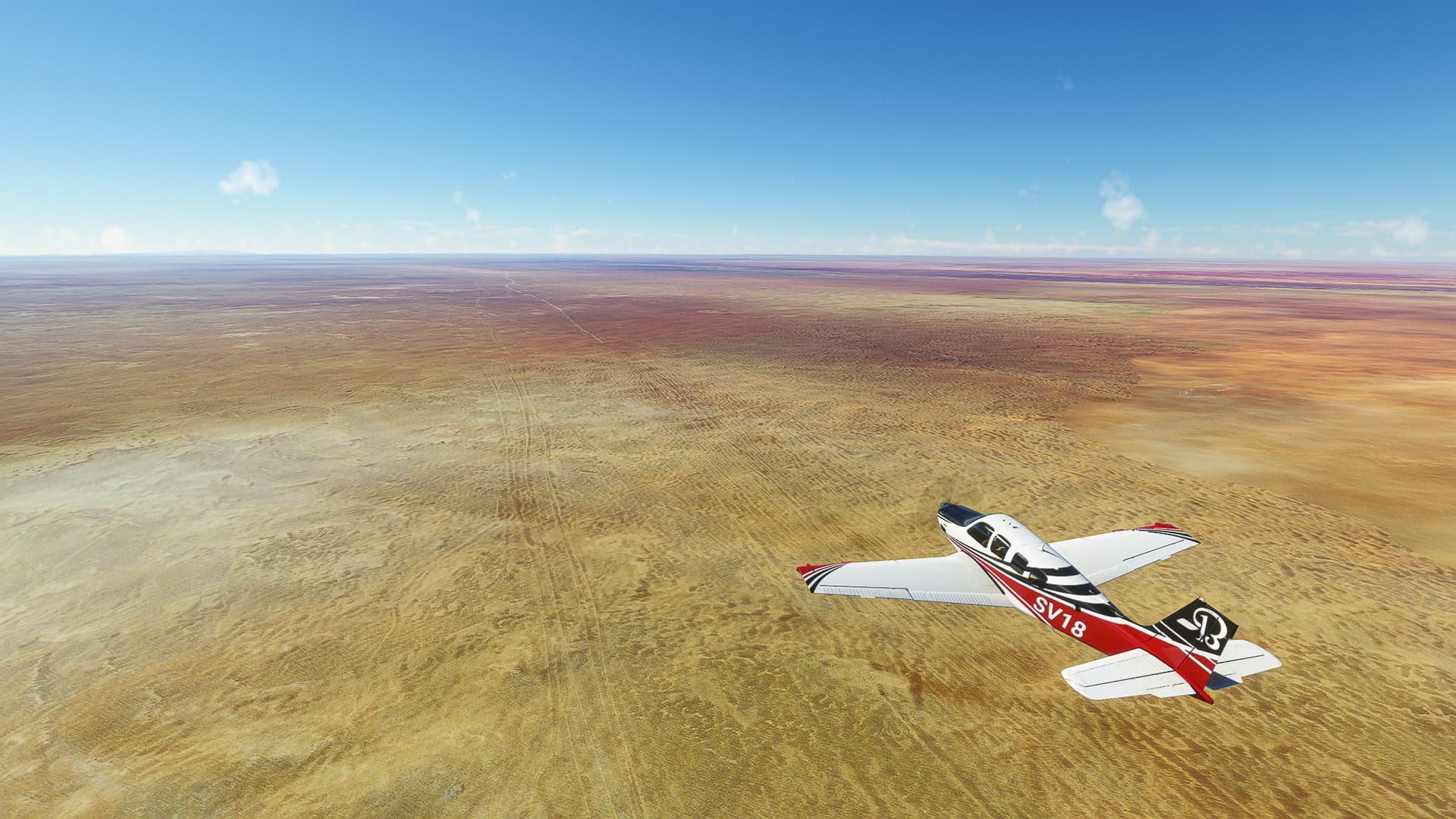
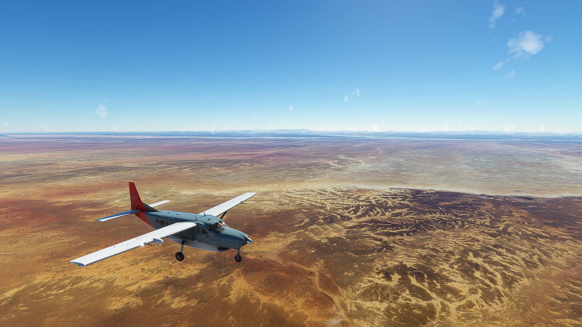
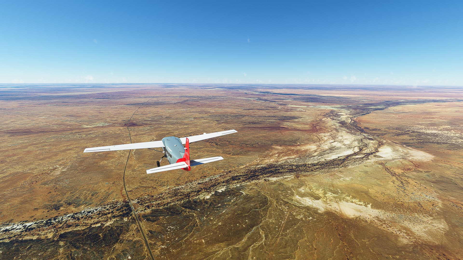
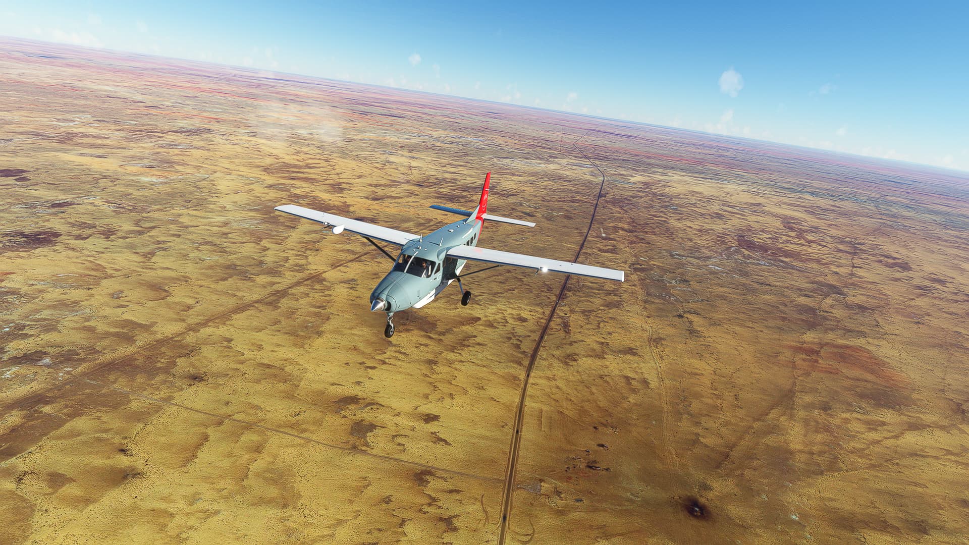
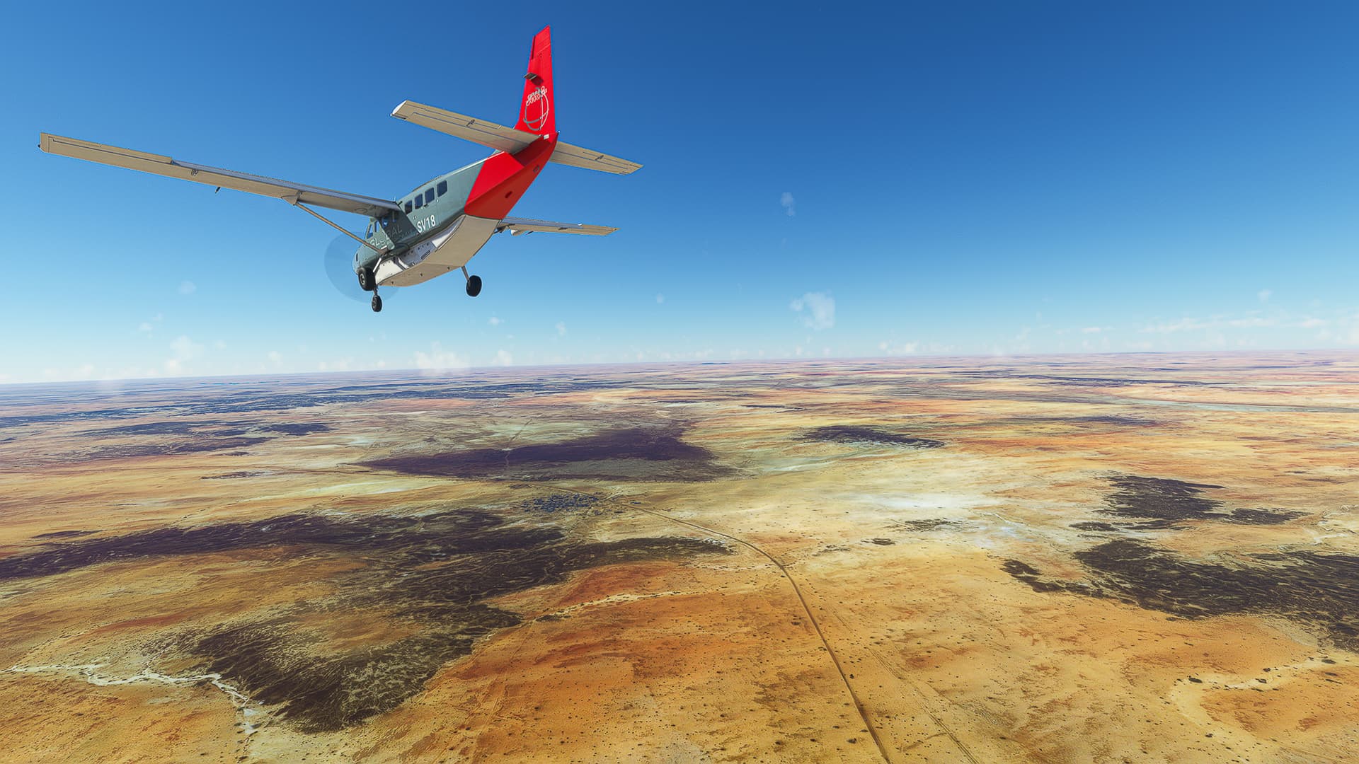
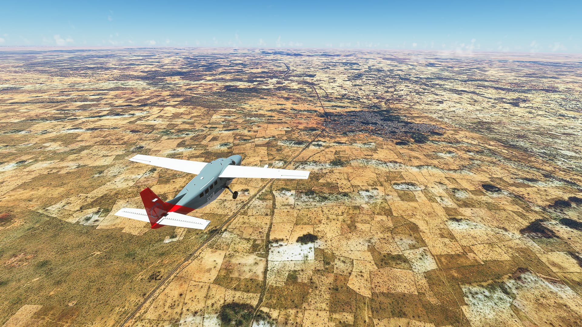
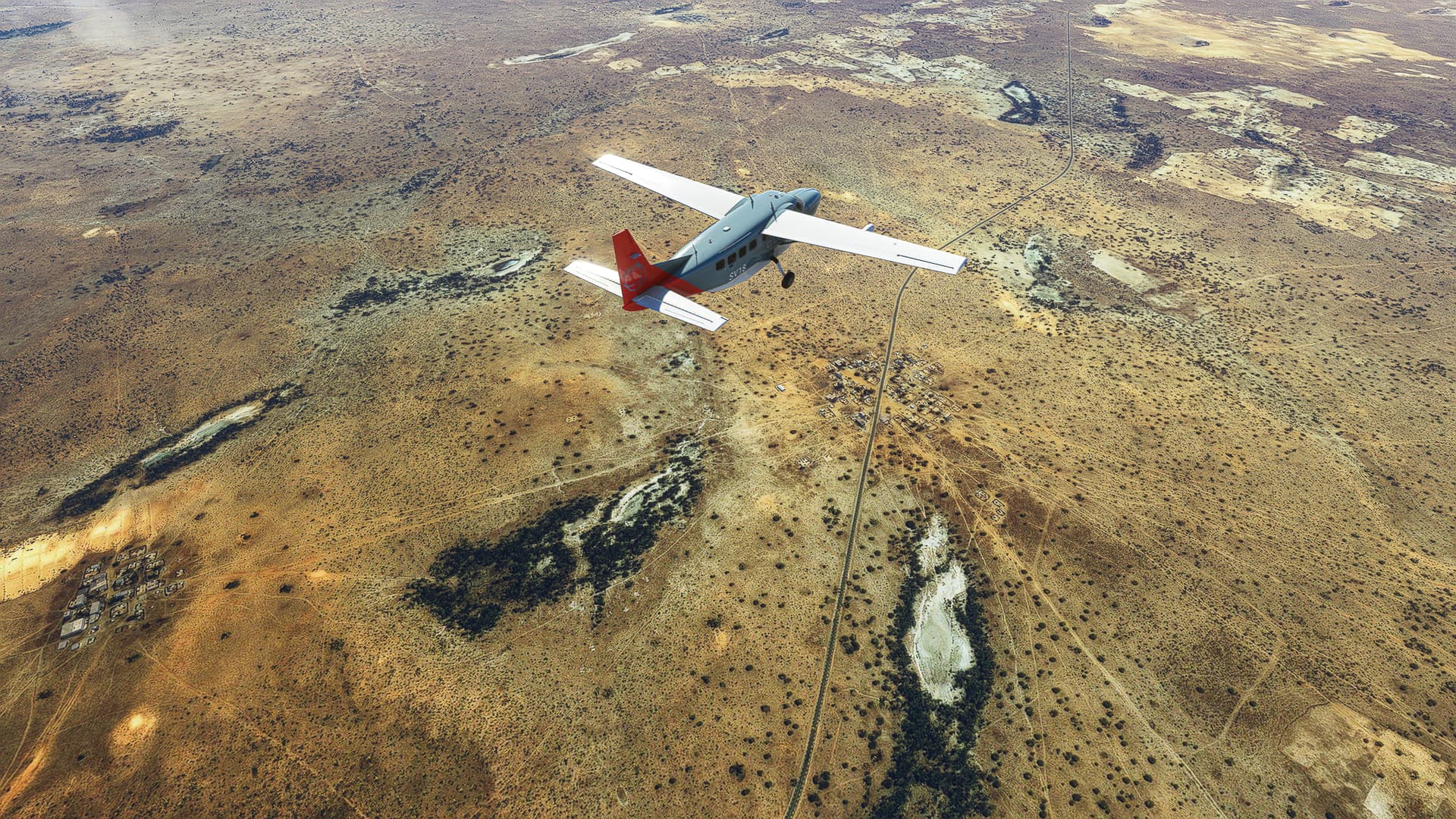
1. Tunis - Rades: After taking off we climbed to 3500ft altitude and took a picture halfway into our turn above the Tunis-Carthage International Airport (Pic 1). We then crossed the Lake of Tunis (Pic 2) and passed Rades (Pic 3) before joining Highway A1.
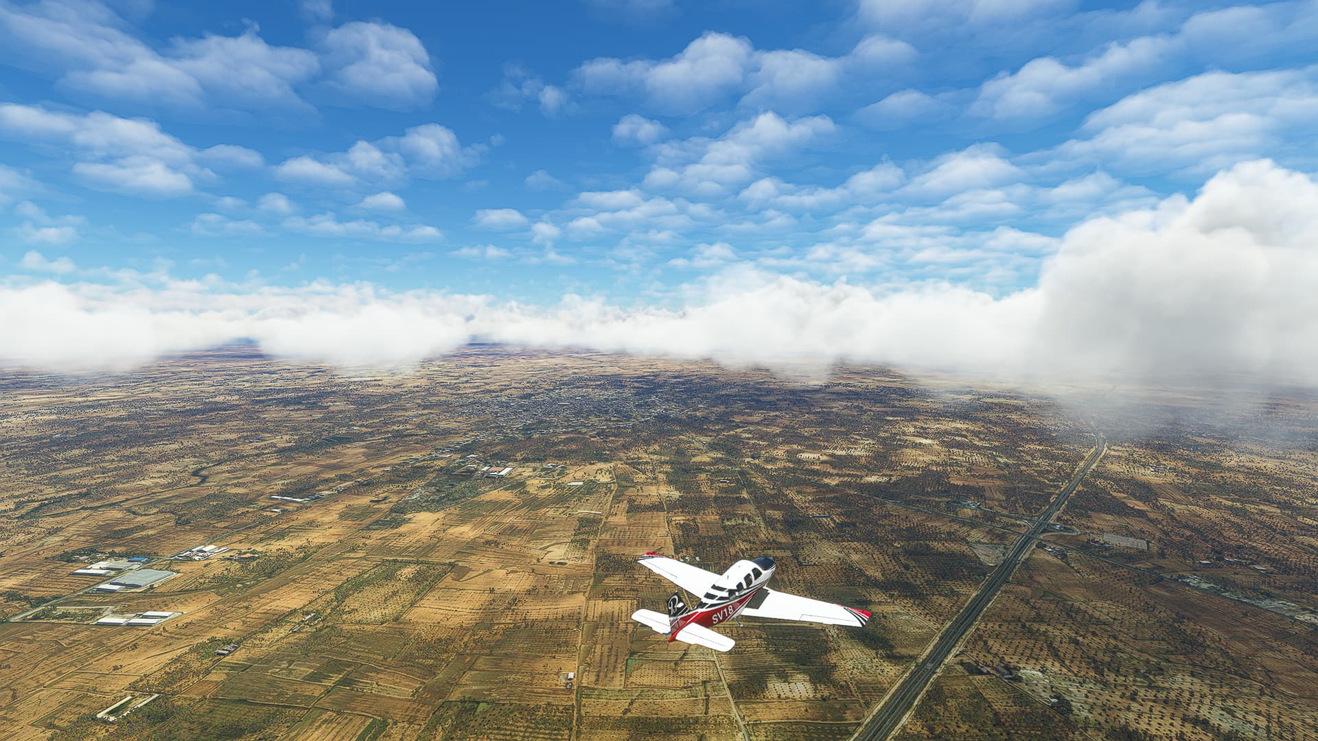
2. Rades - Hammamet: The clouds parted in front of us as we reached Boukornine National Park (Pic 4). Passing Bou Argoub (Pic 5) we reached the coast again near Bir Bou Rekba (Pic 6).
3. Hammamet - Enfidha: Following the coast from Hammamet past Sidi Mtir (Pic 7), the Sebka Sidi Khalifa (Pic 8) to stumble across Enfidha-Hammamet International Airport at the southern end of Sebkhet Assa Jurida (Pic 9).
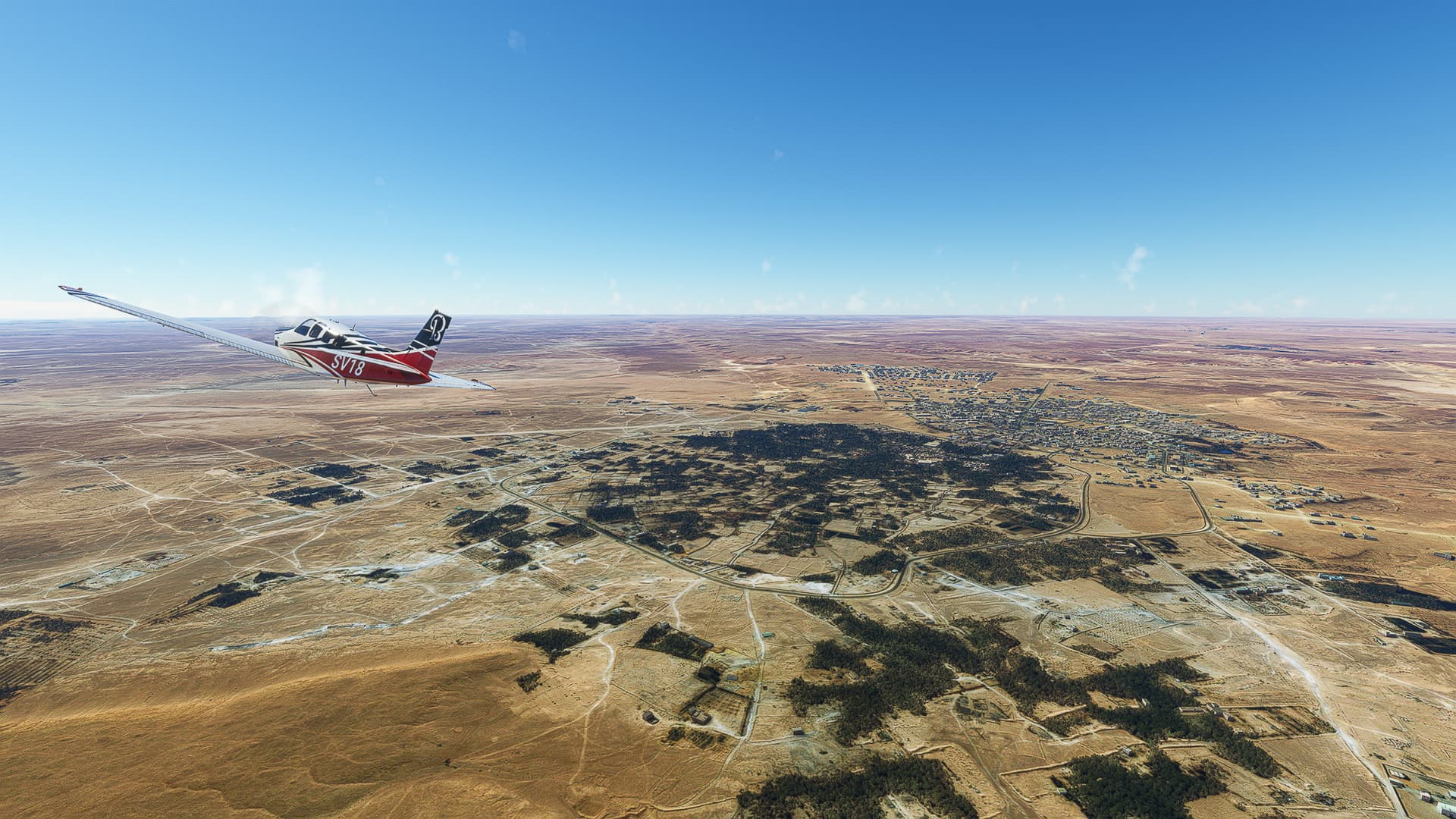
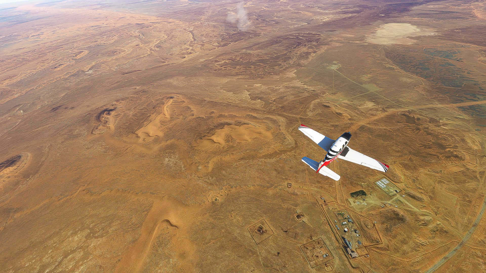
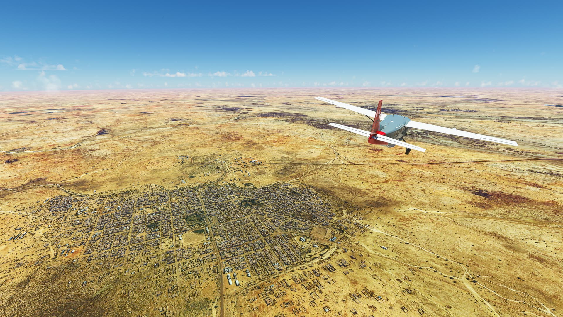
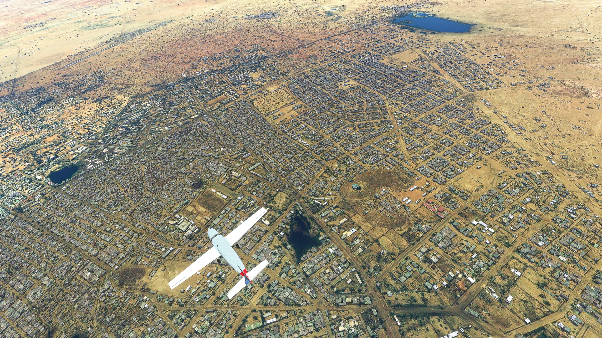
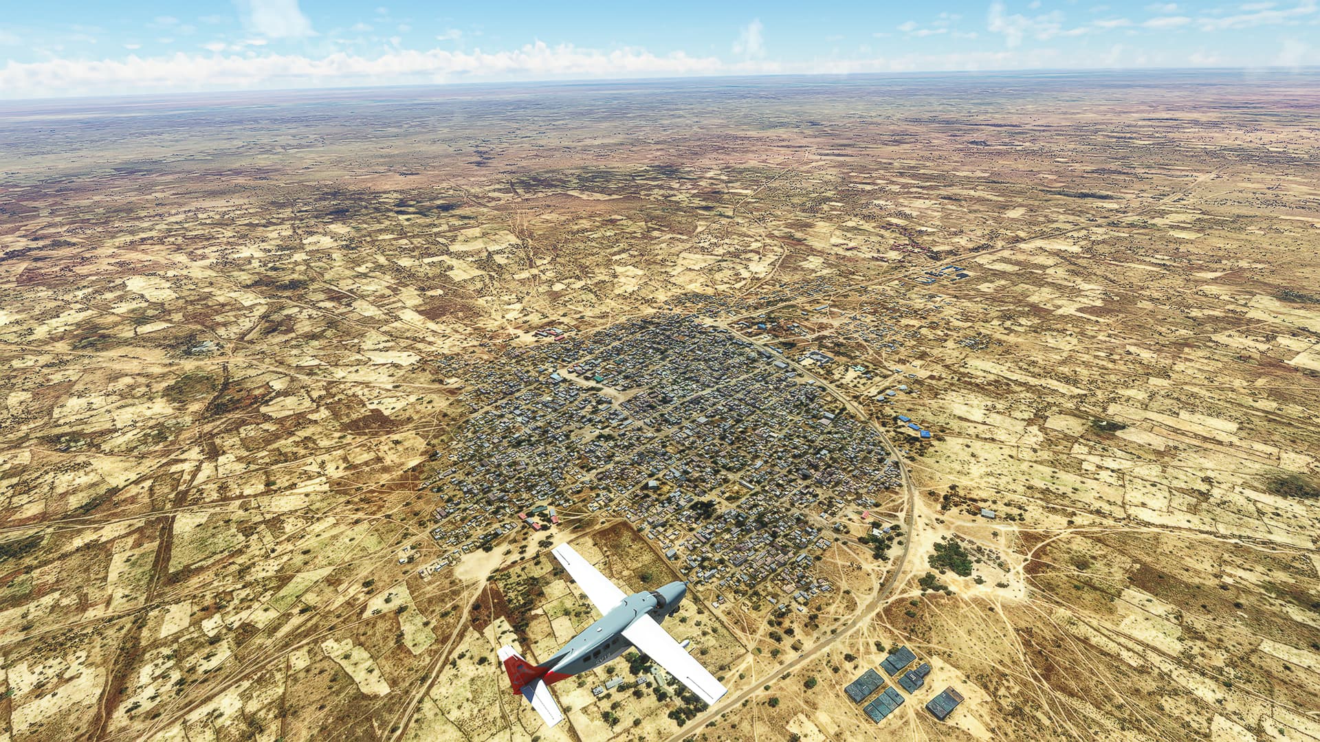
4. Enfidha - Sousse: The next densely populated area we reached after leaving Tunis was Sousse and its surroundings, e.g. Kalaa Kebira (Pic 10) to the northwest and Masakin (Pic 11) to the southwest of the city.
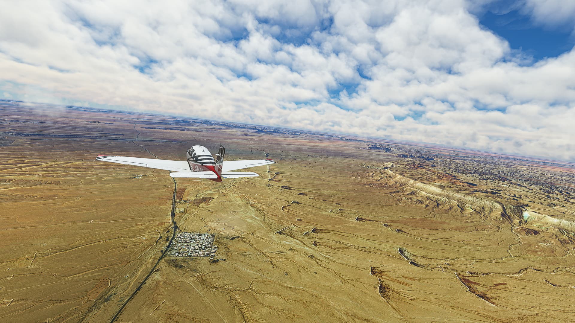
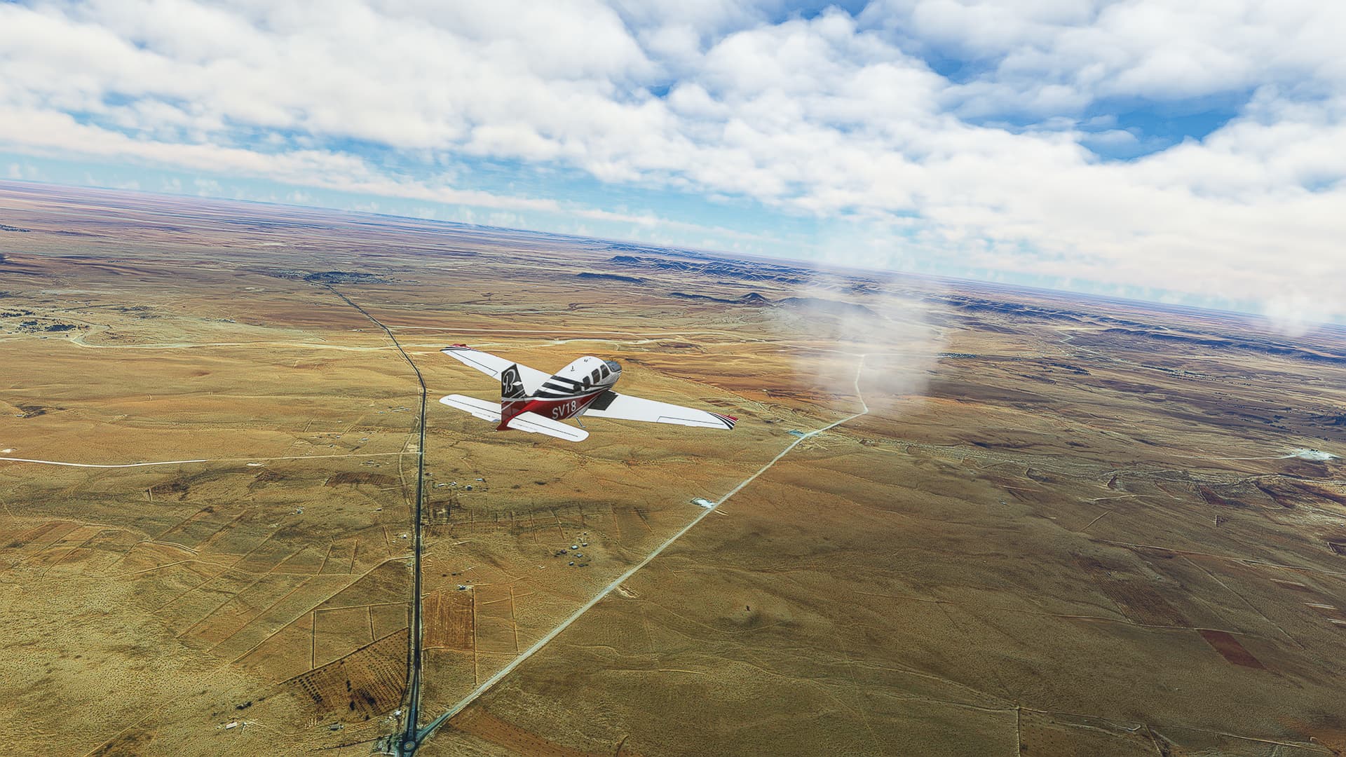
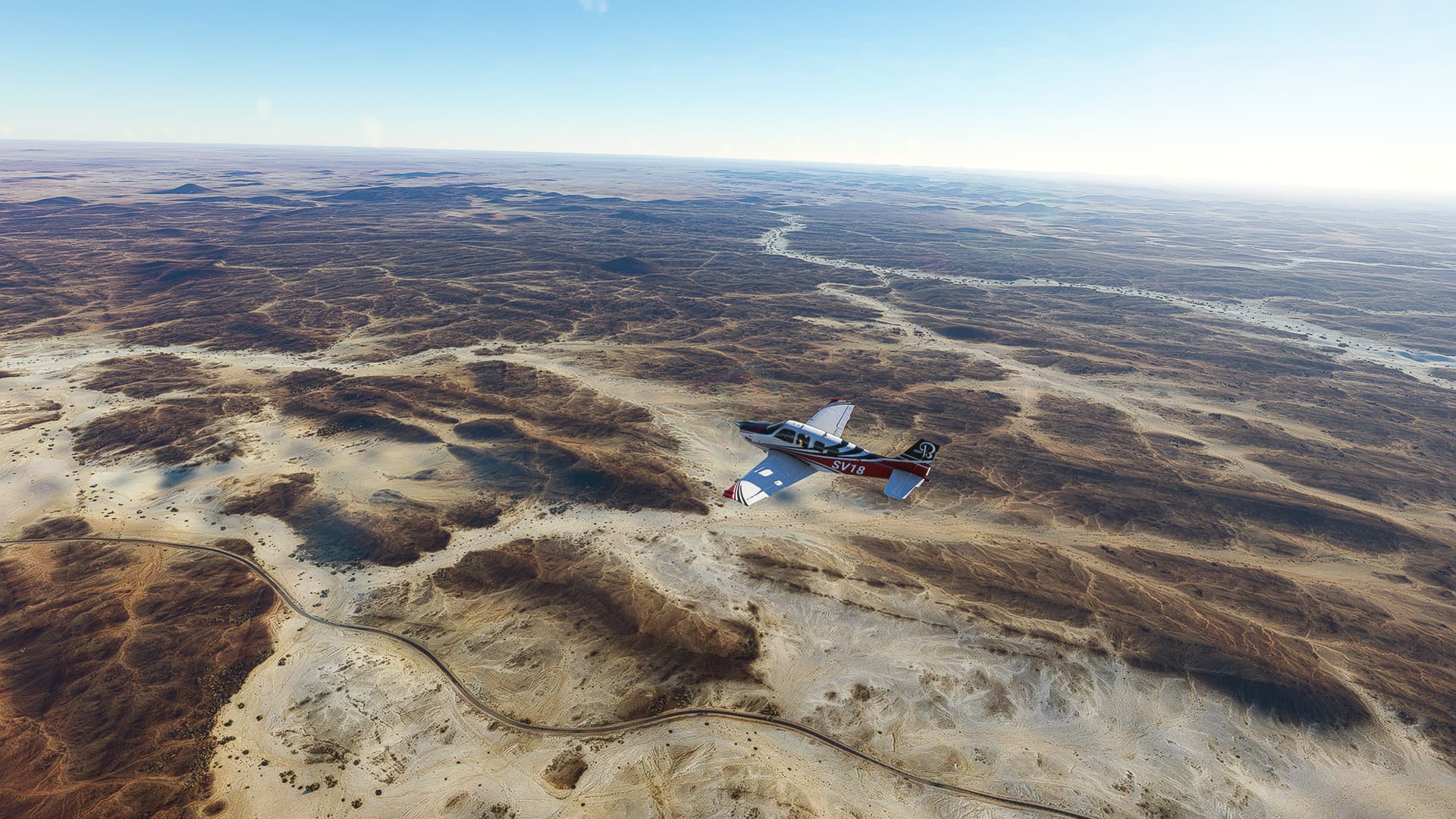
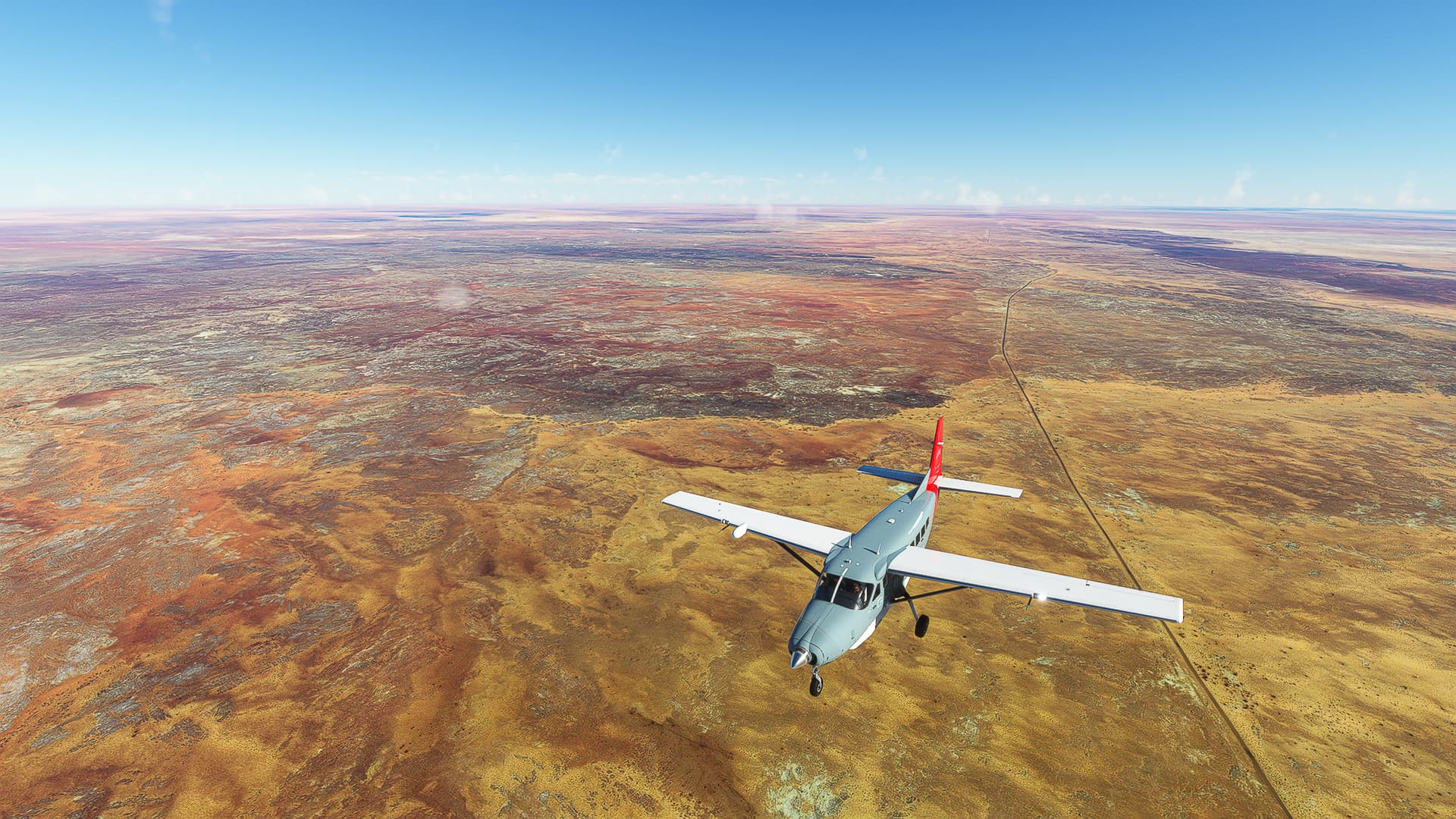
5. Sousse - El Jem: Cutting through the country we left the coast again and flew along the Sebkhet Sidi El Hani past Al Dadr (Pic 12) and Manzel Hayet (Pic 13) to El Jem (Pic 14).
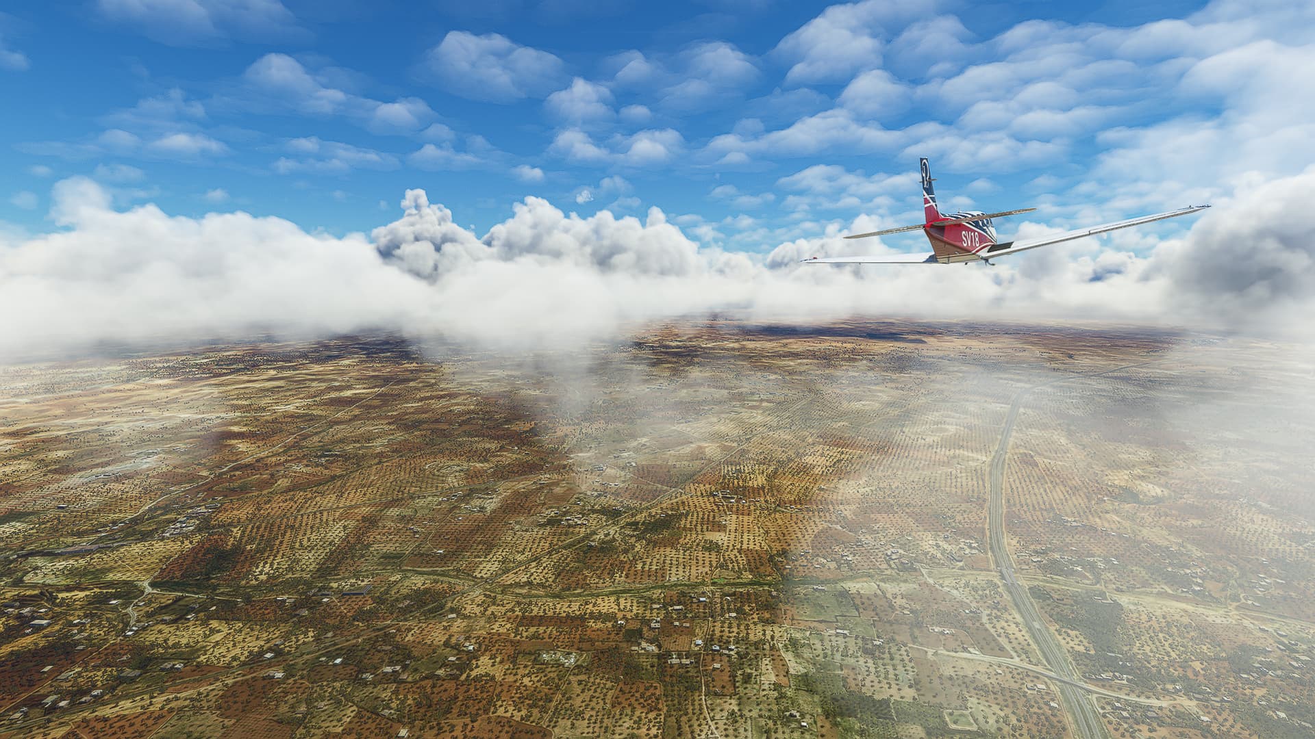
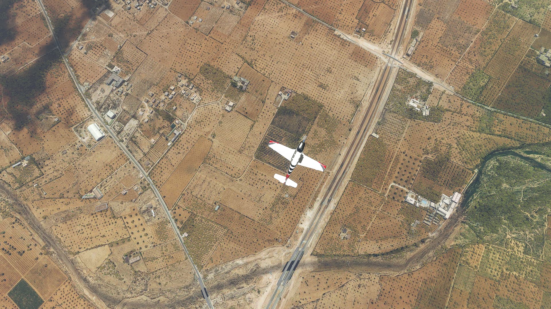
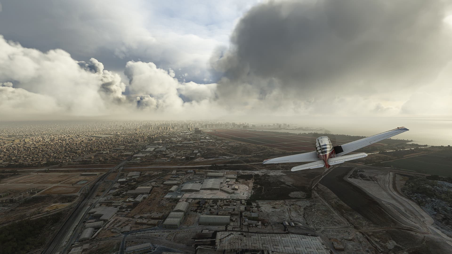
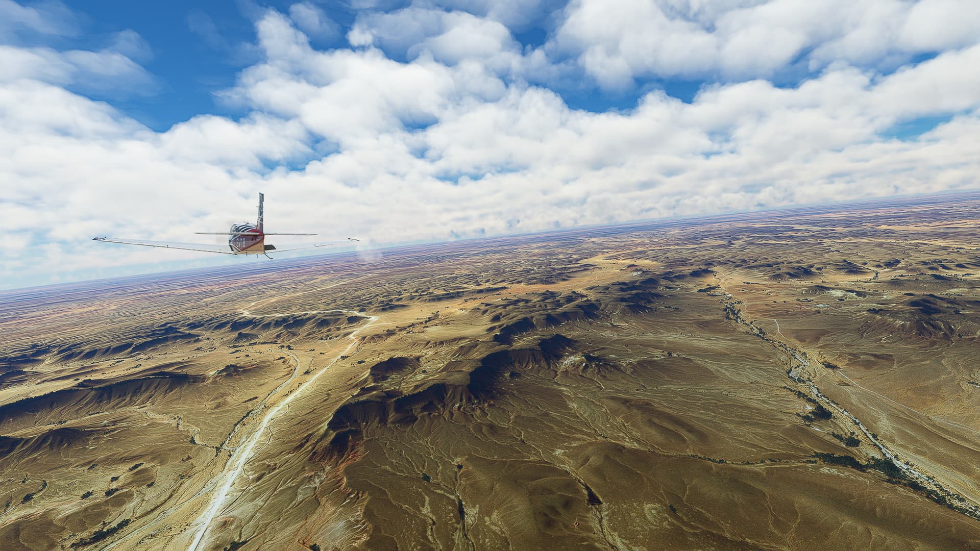
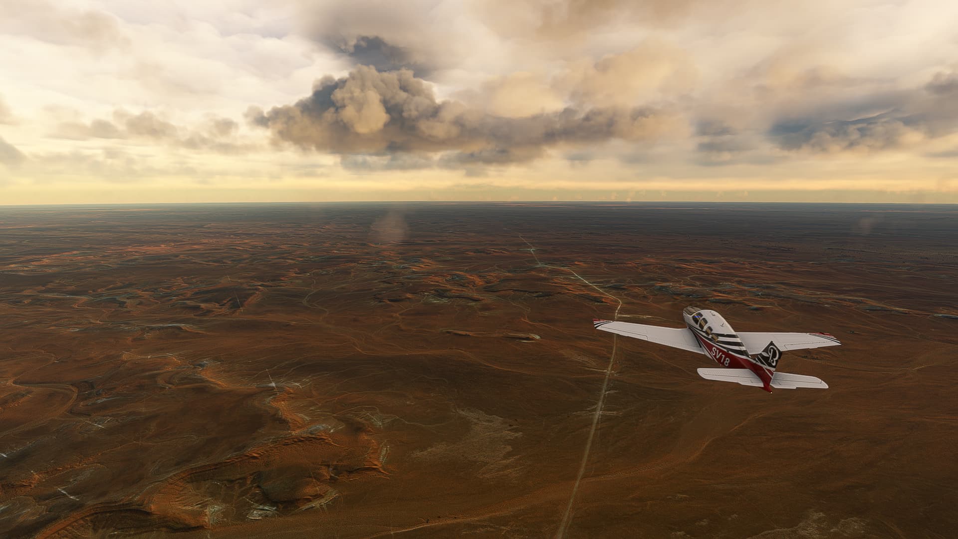
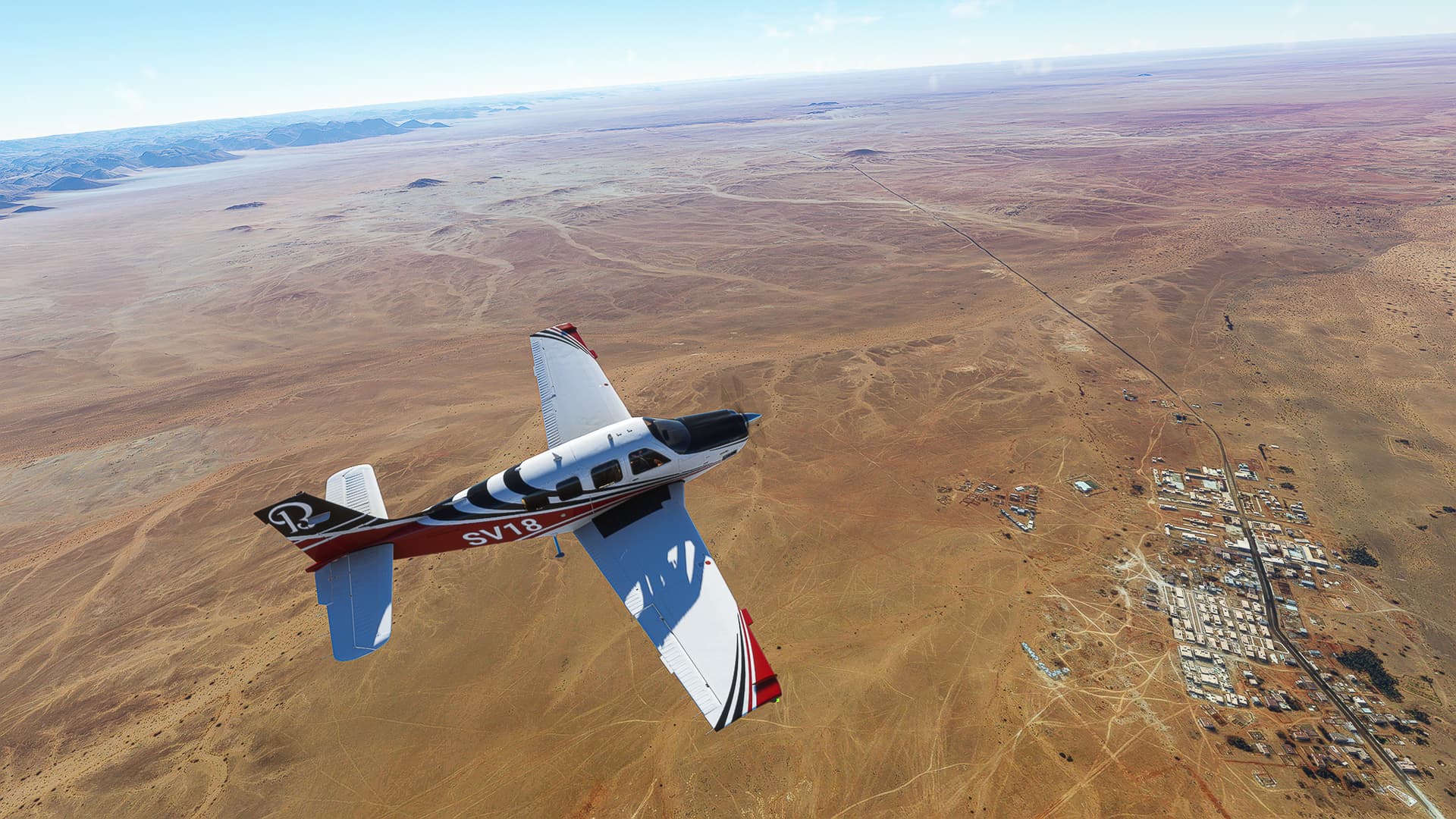
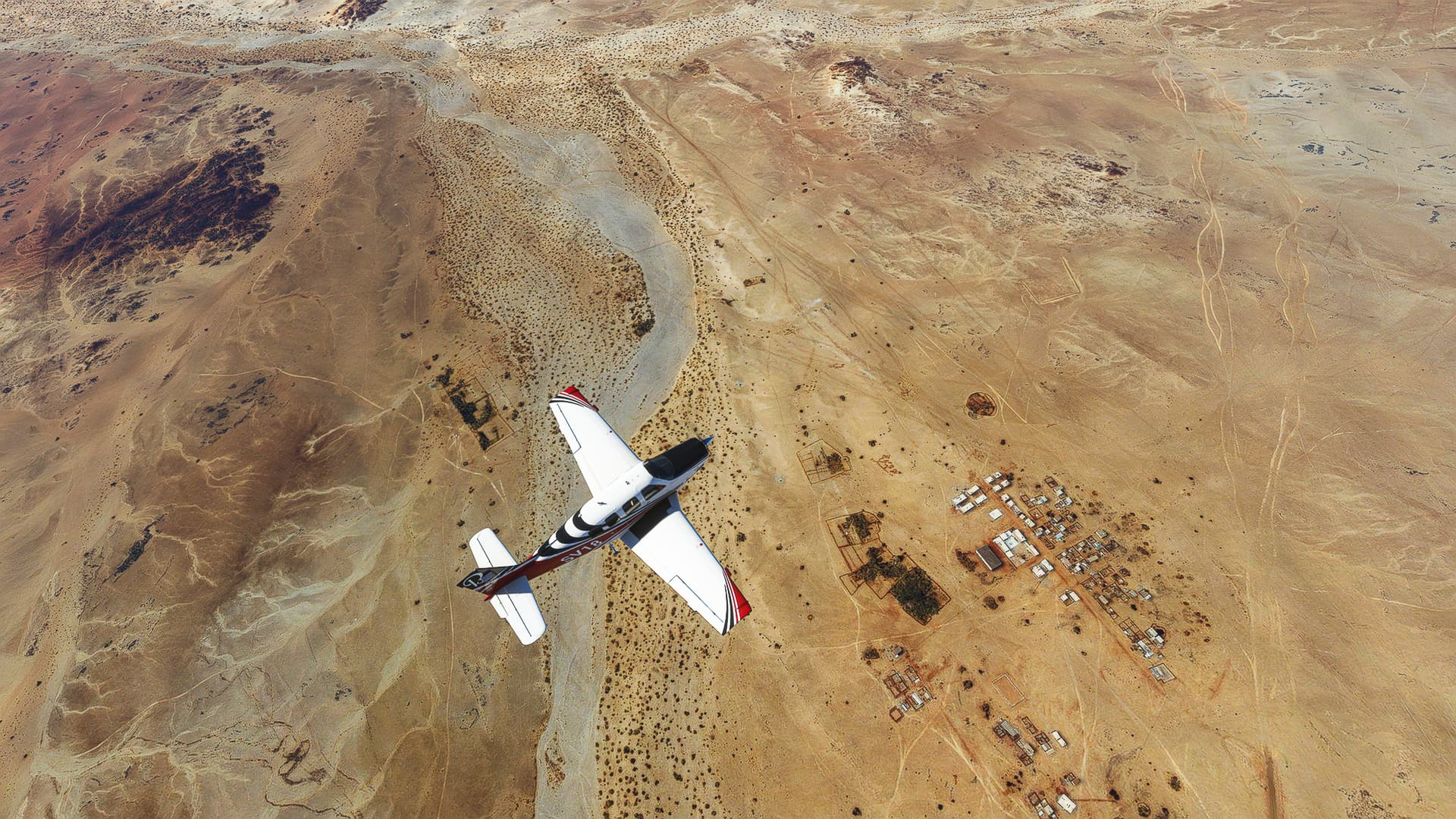
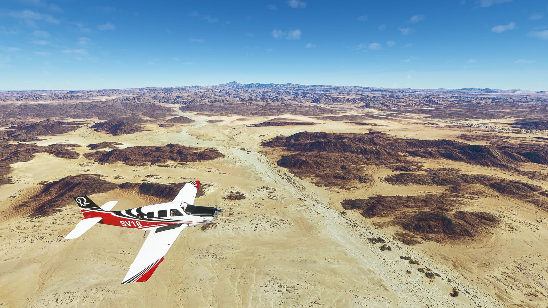
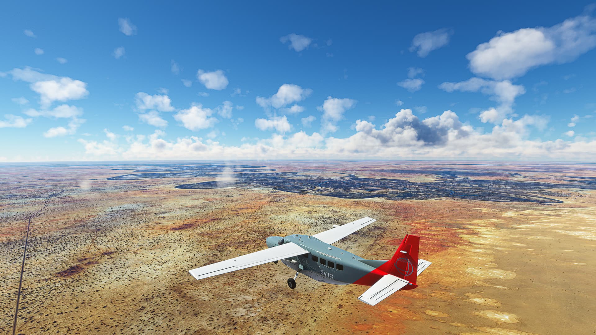
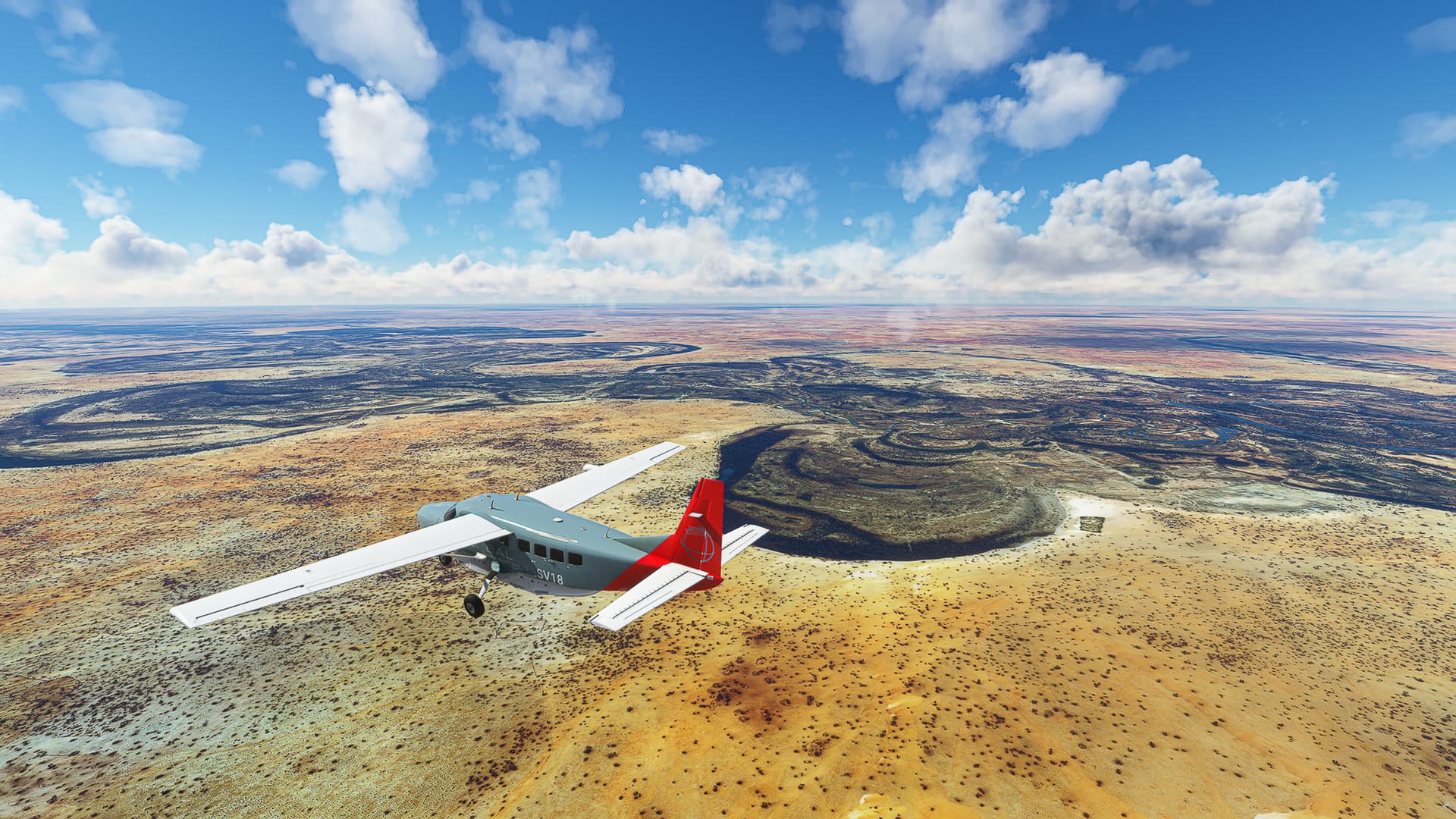
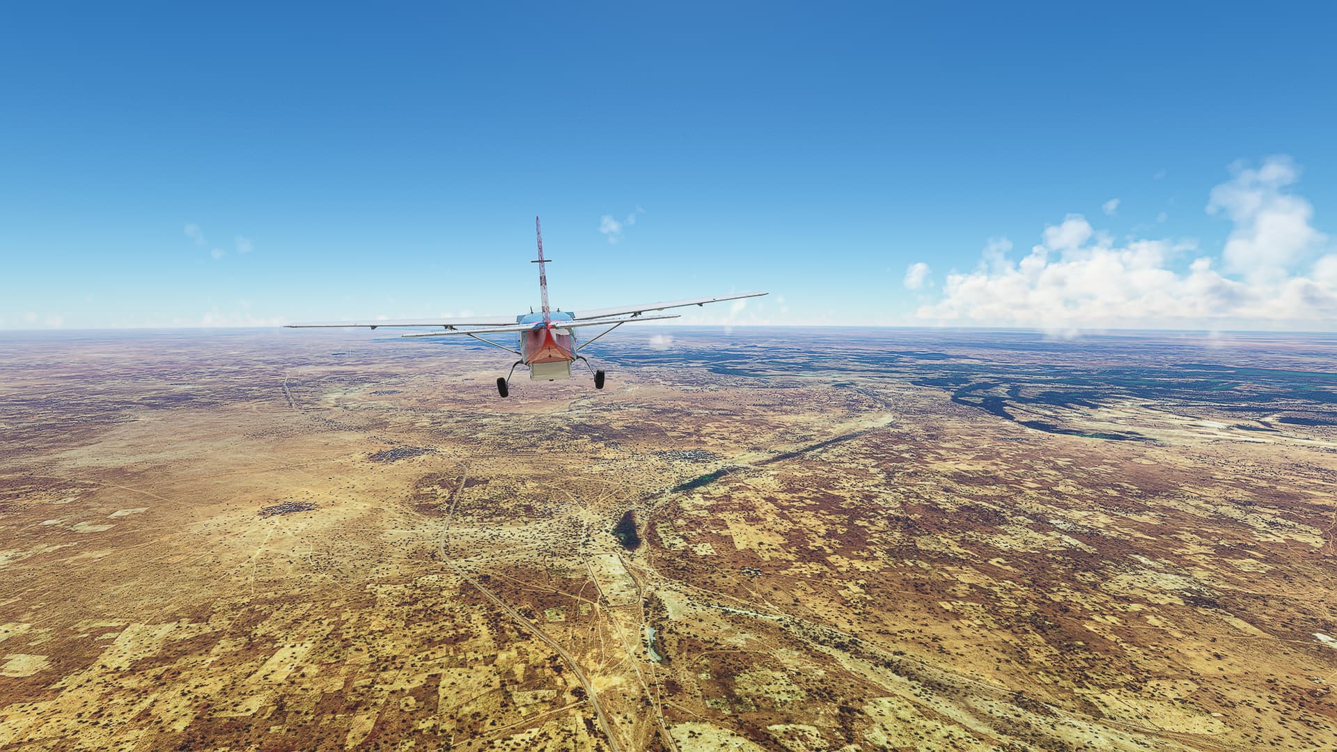
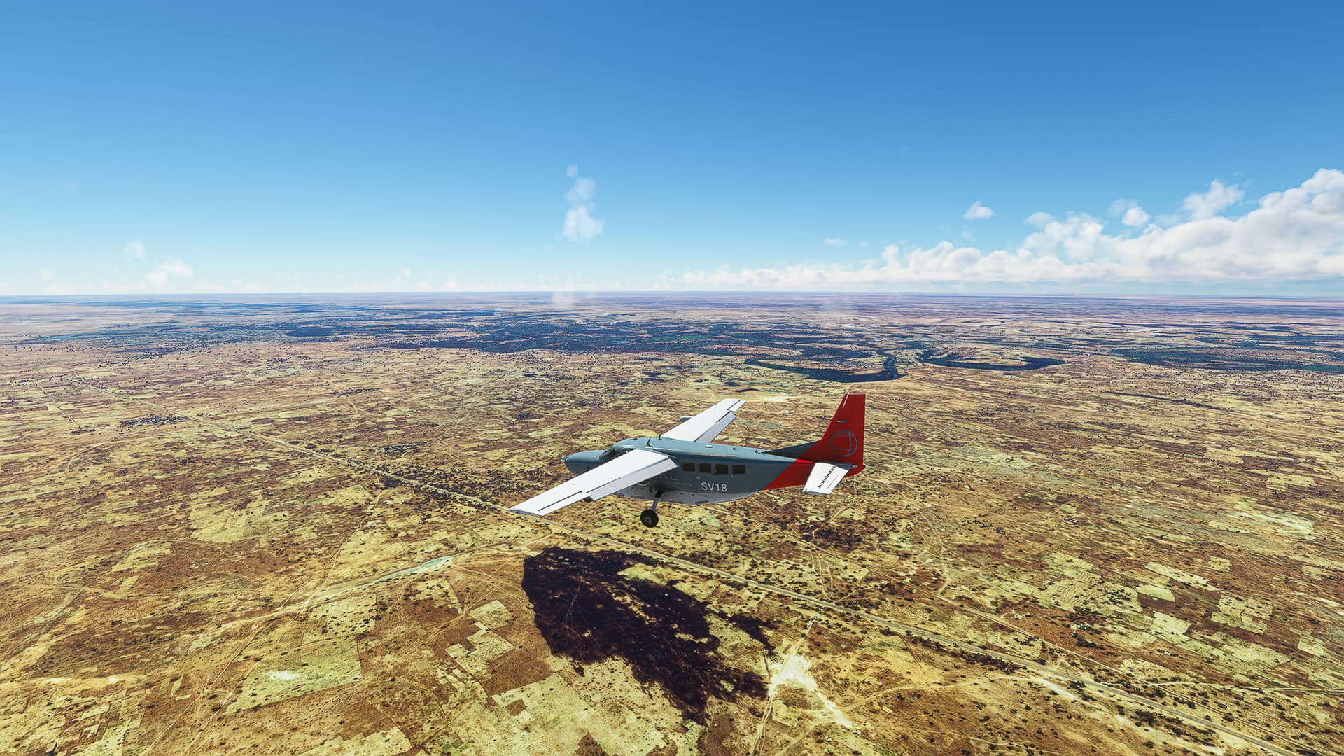
6. El Jem - Thyna: The clouds got denser as we came close to our destination. We left Bi’r Shu’bah (Pic 15) behind us and made our way to the city of Sfax or rather the Sfax-Thyna Airport. Our last shot is a top-down view of the Transafrican Highway A1 near the northern outskirts of Sfax.
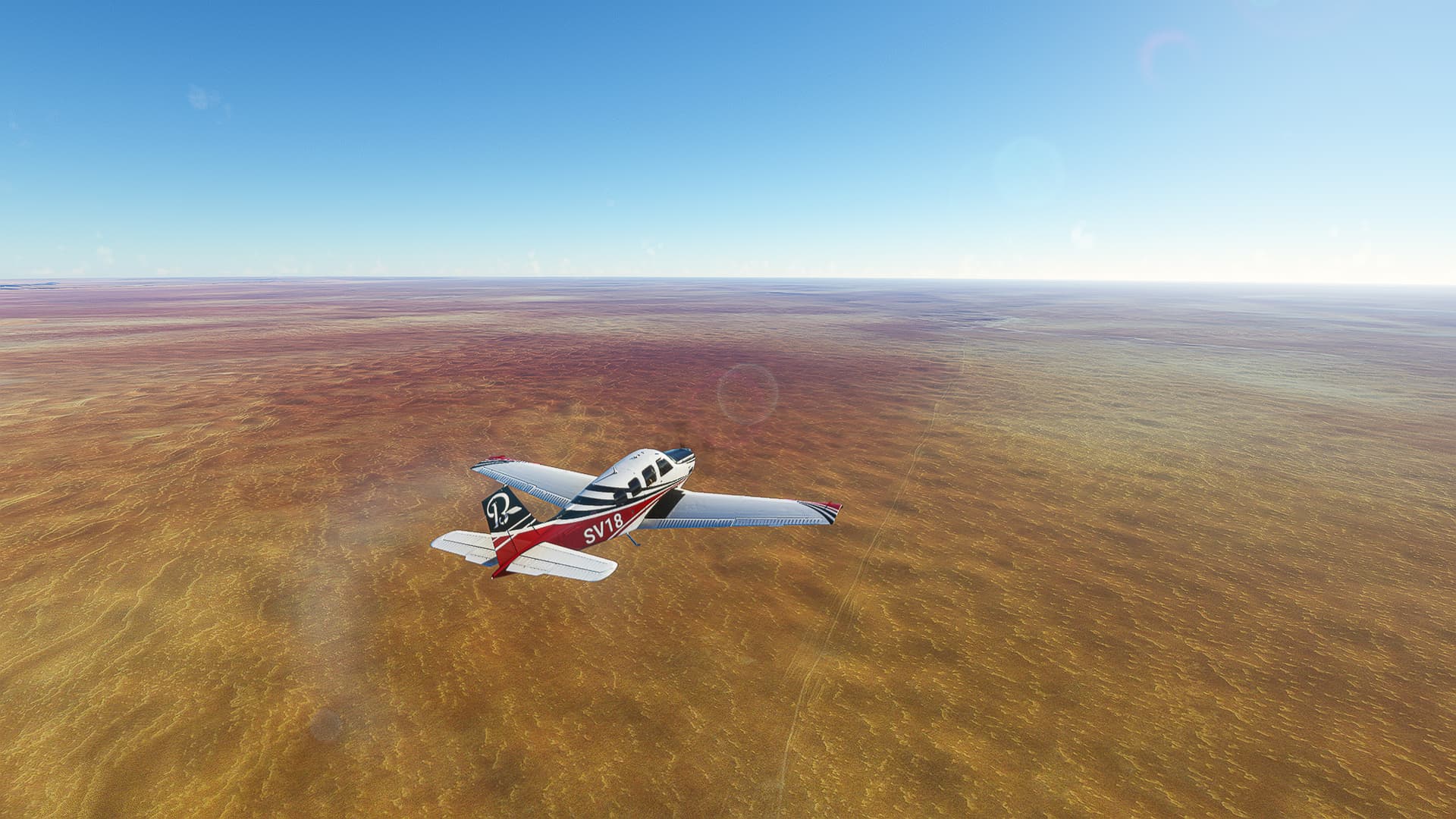
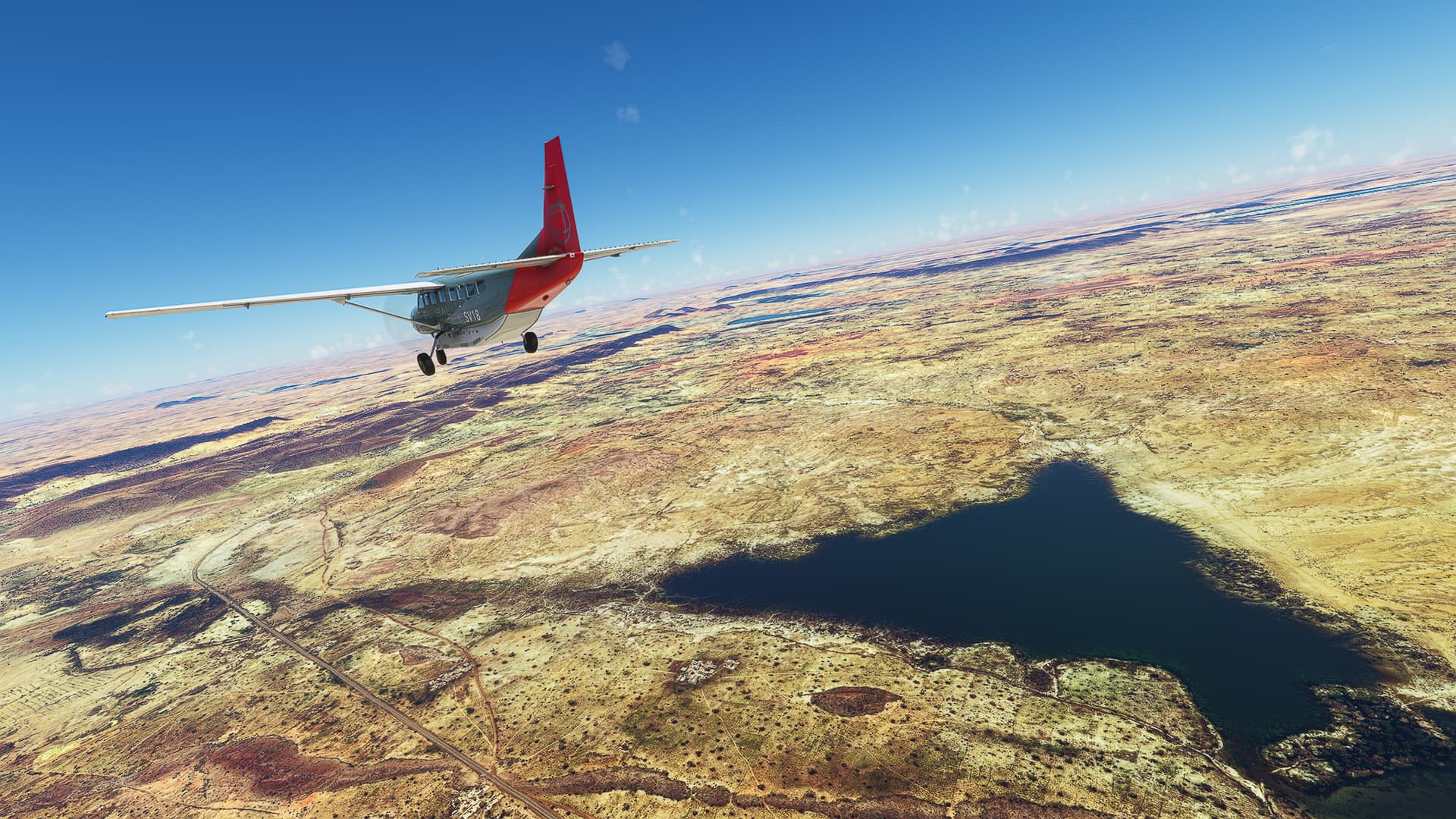
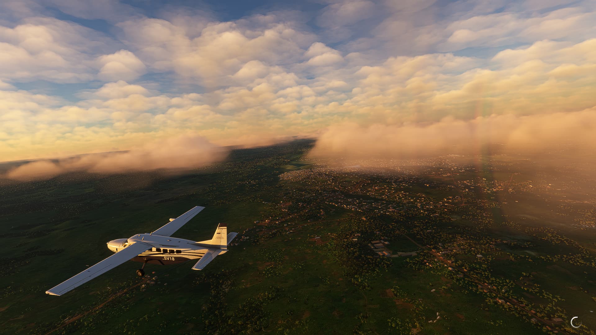
Thyna (DTTX) - Madaniyin (DT70).
Tunesia.
Flight No. 019.
Roads Used: Highway A1 (Sfax - Gabes) & Route Nationale 1 / RN1 (Gabes - Madaniyin).
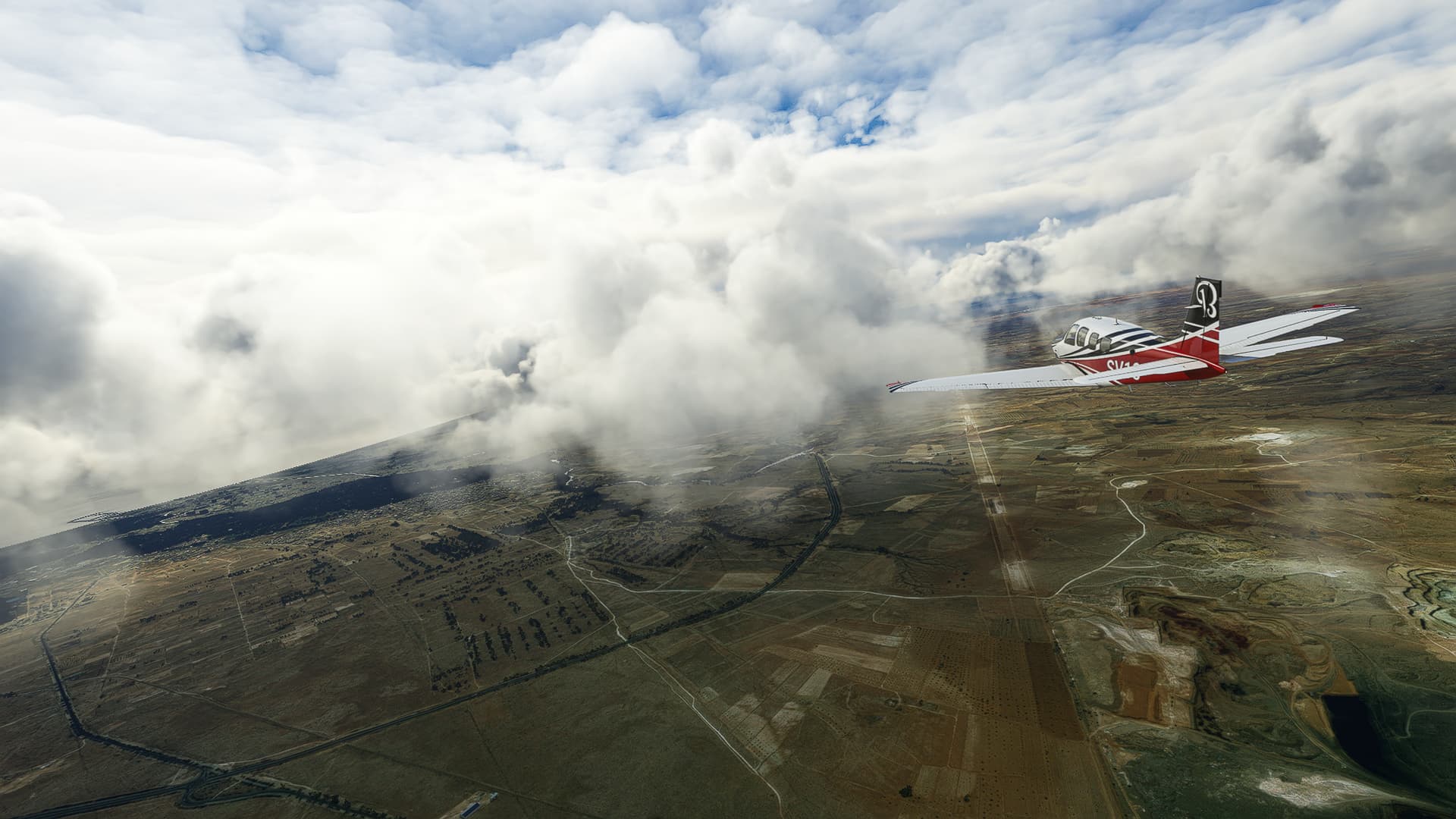
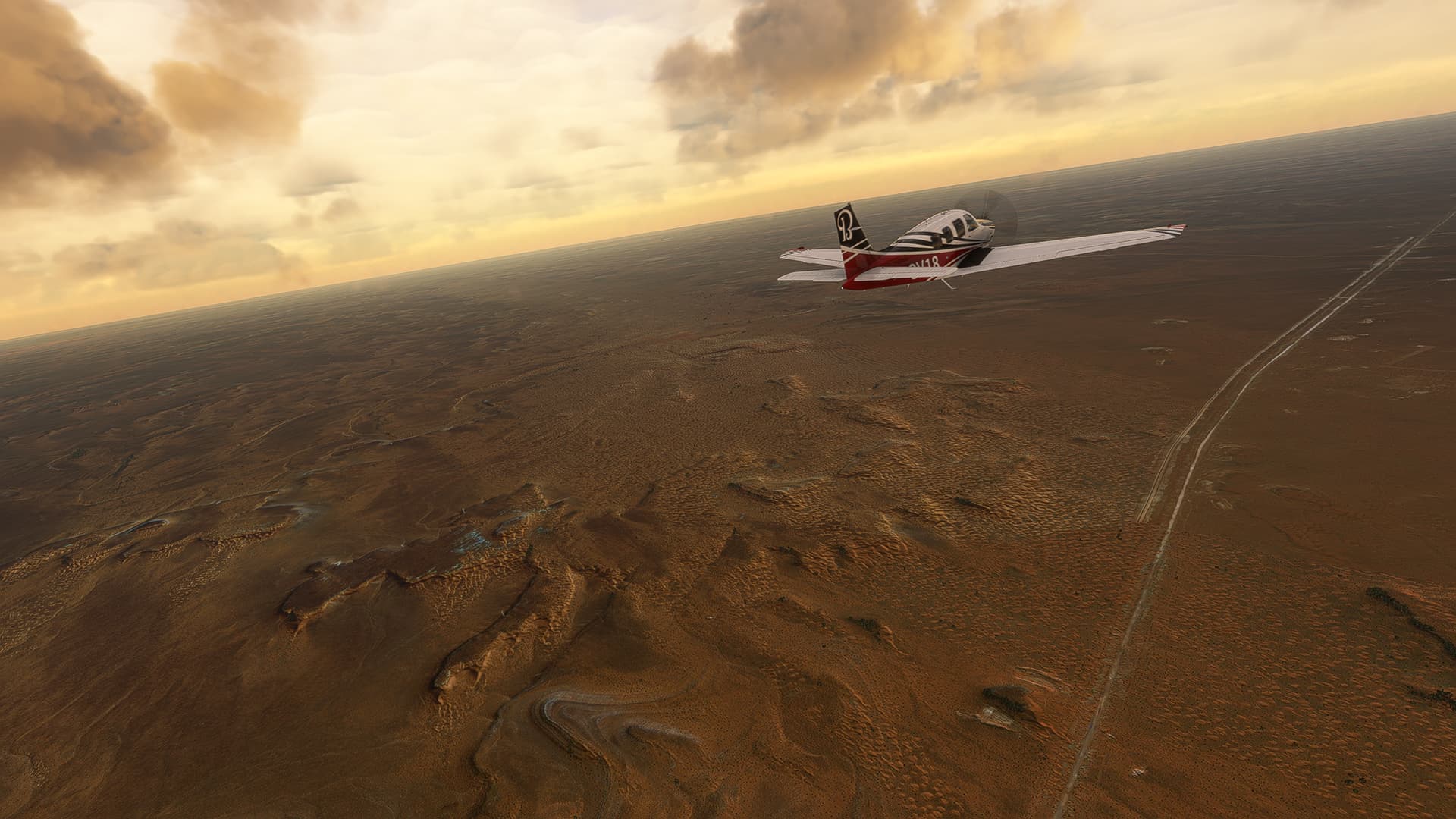
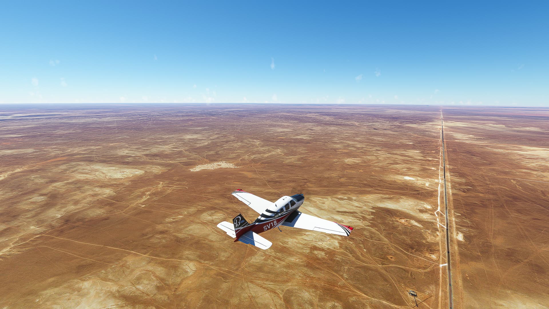
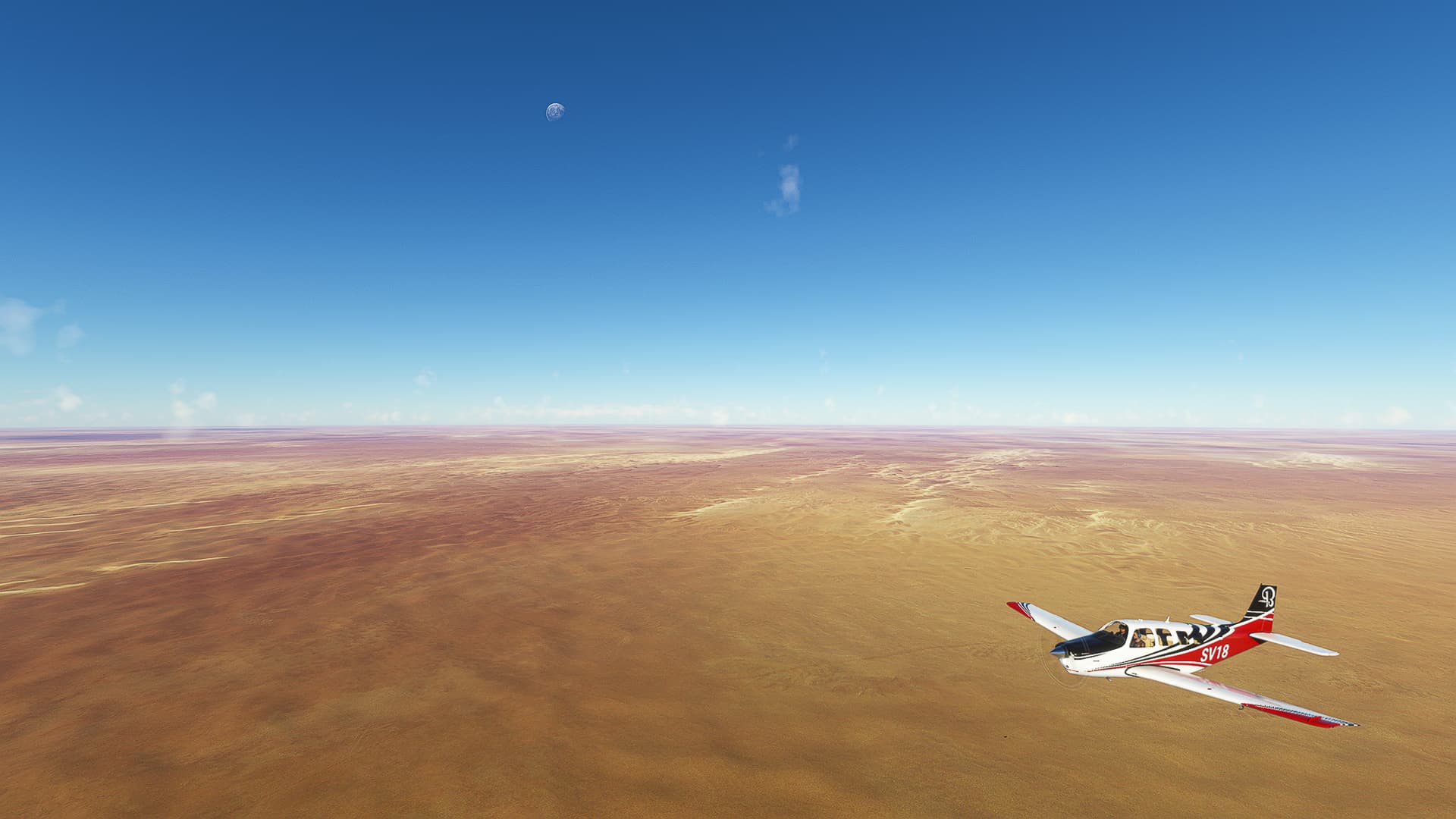
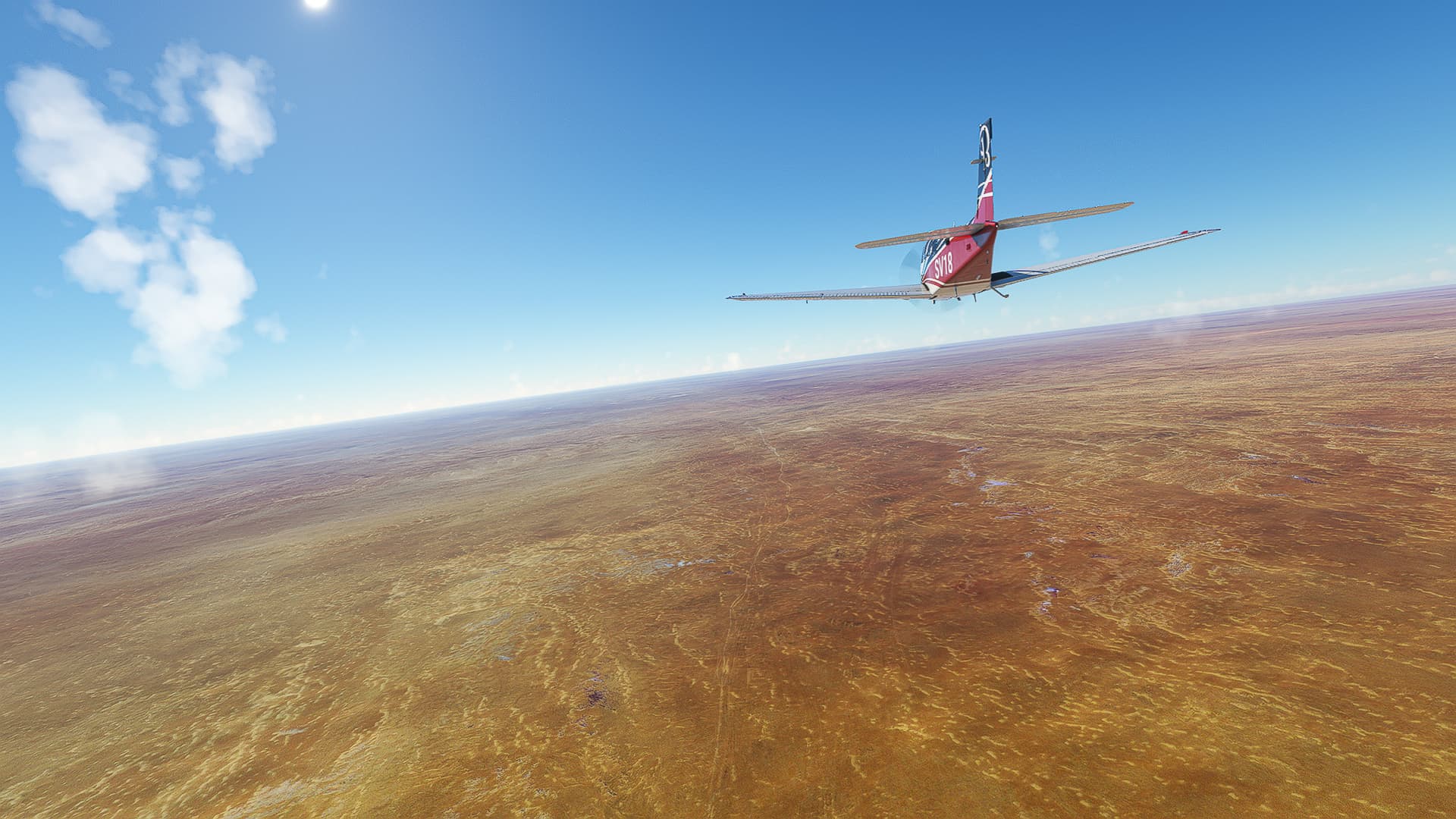
1. Sfax: I was a bit worried when I saw those clouds and prepared for a mess, but in the end this might have been one of the most aesthethically pleasing trips in a while! After takeoff we climbed to 3500ft with a beautiful view of the city center (Pic 1) before pushing through a dense cloud bank to our cruise altitude (Pic 2).
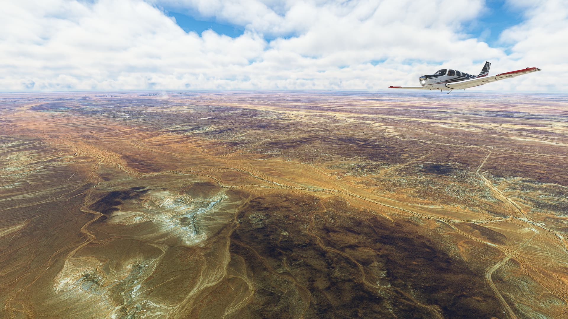
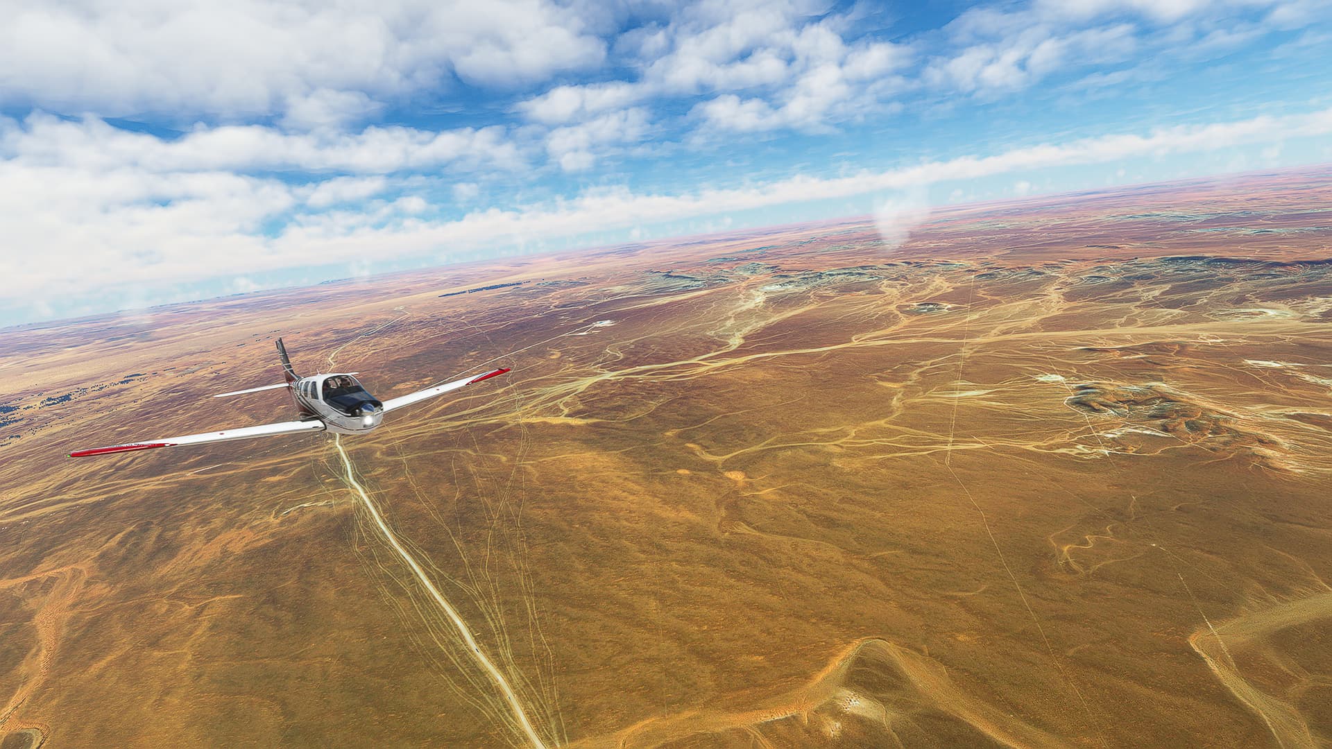
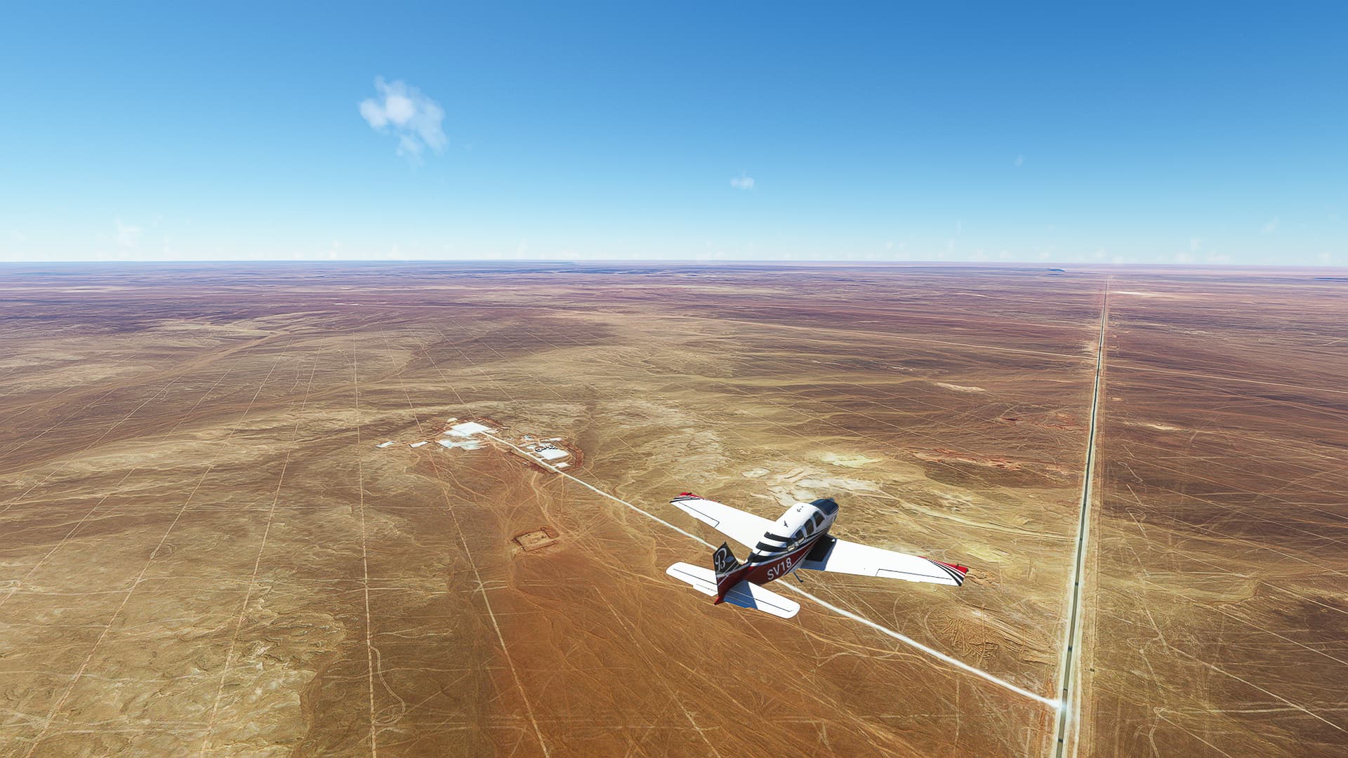
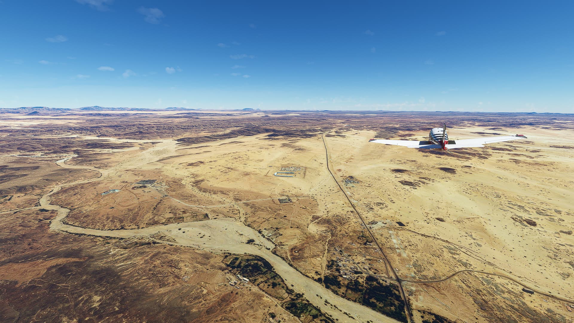
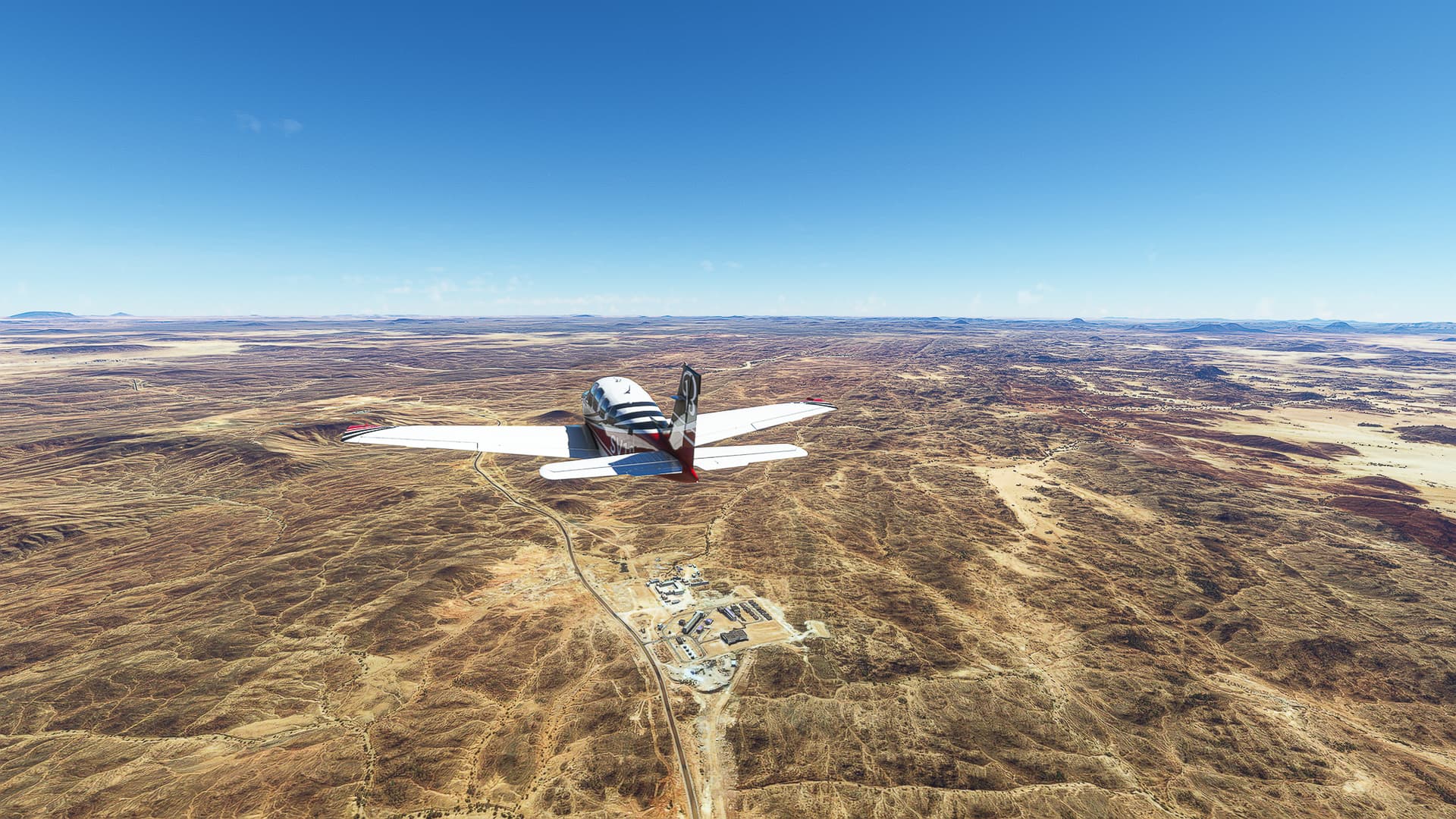
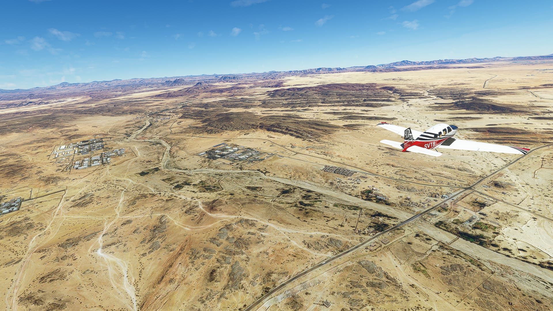
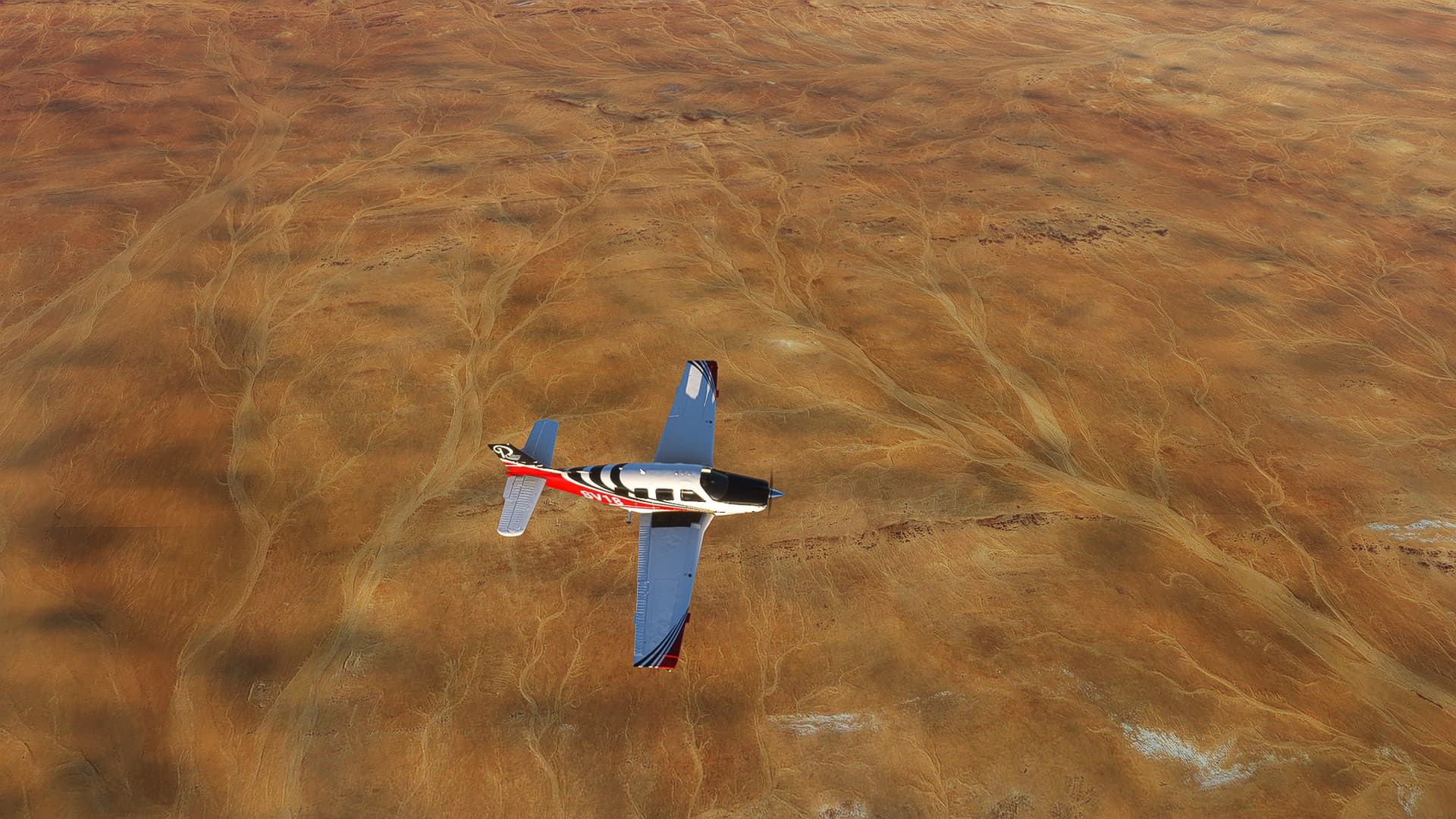
2. Sfax - Sidi Mohamed Nouiguez: A prime advantage of Tunesia - you can see the roads you’re chasing almost always! Today we continued along Highway A1 from Sfax’ southwestern outskirts (Pic 3) past La Croix (Pic 4) and Graiba (Pic 5) to the border of Sfax and Sidi Bou Zid Gouvernorates (Pic 6).
3. Sidi Mohamed Nouiguez - Akarit: Near the Gouvernorate border the Highway takes a sharp turn south so we flew along the coastline for a while (Pic 7), came across Bou Said (Pic 8) and arrived near Akarit where we could spot the easternmost part of Chott el Djerid (Pic 9).
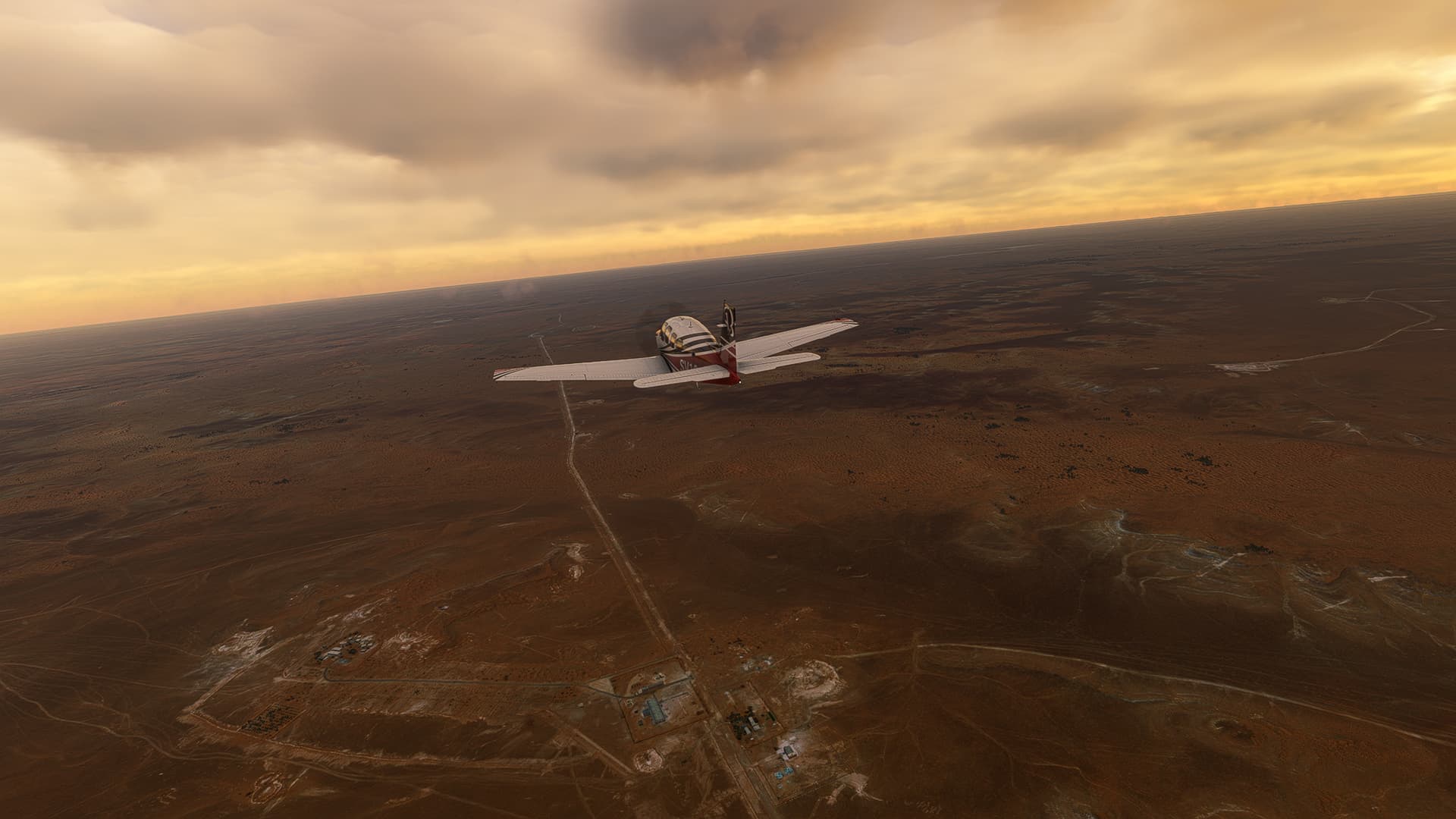
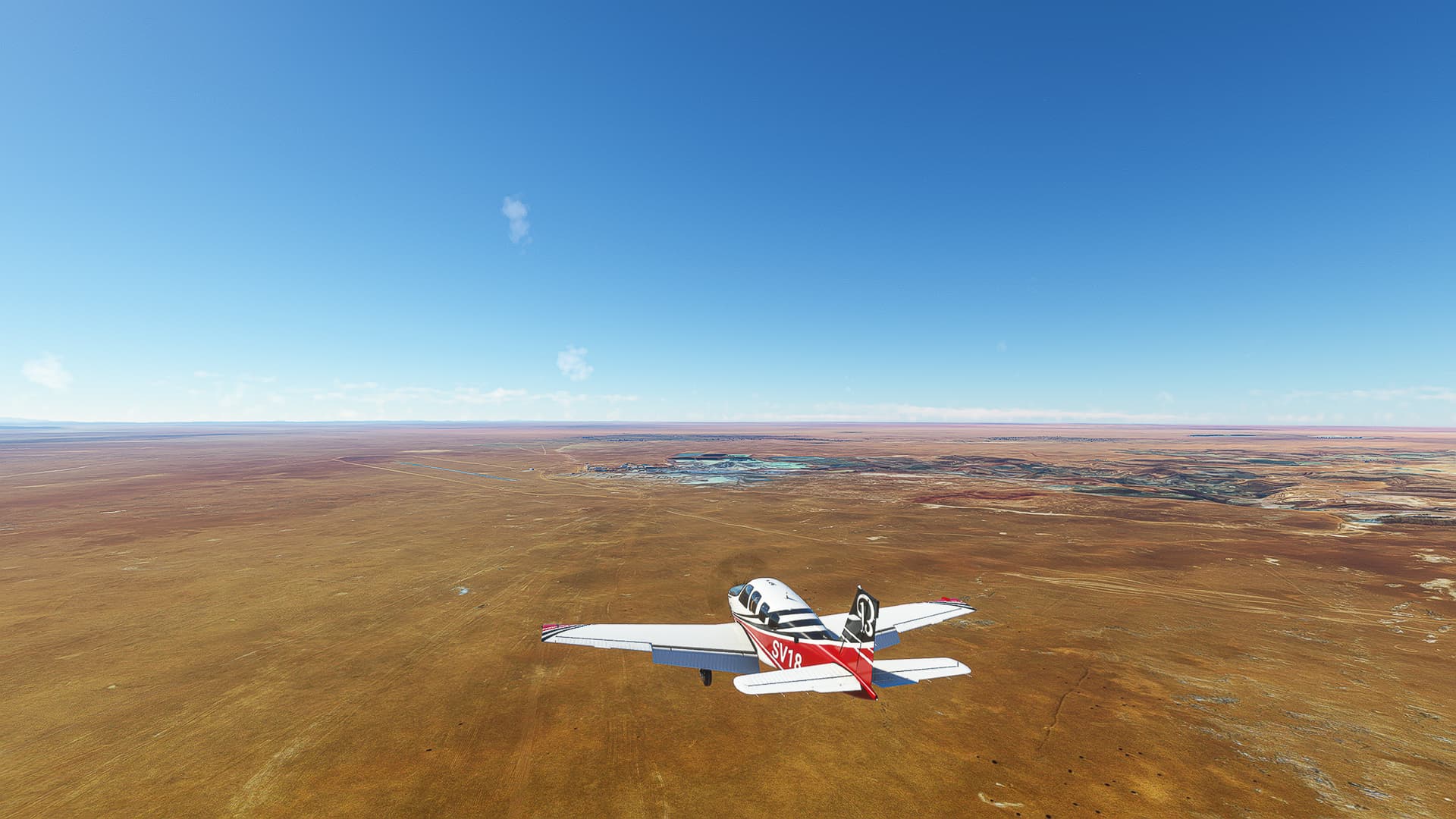
4. Akarit - Gabes: On our way south we passed Al-Matwiyah (Pic 10) and reached Gabes - or rather the Gabes Cement Companies’ gravel pit (Pic 11) before visiting the city itself (Pic 12).
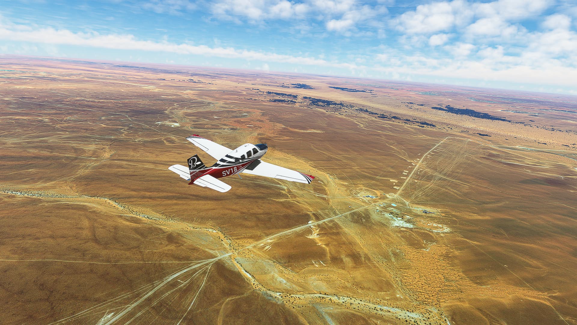
5. Gabes - Madaniyin: The last part of this flight will also be our last flight along the Mediterranean Coast for a while! We followed RN1 (the same road as Highway A1, which simply stopped being a highway near Gabes) to the southeast, passing Ketana (Pic 13), Mareth (Pic 14) and Koutine (Pic 15) on the outskirts of Madaniyin.
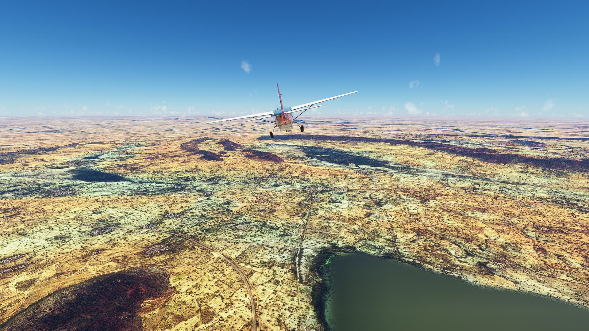
Madaniyin (DT70) - Remada (DTRM).
Tunesia.
Flight No. 020.
Roads Used: Route Nationale 19 / RN19 (Madaniyin - Remada) & Route Regionale 112 / RR112 (Remada - Bir Zar).
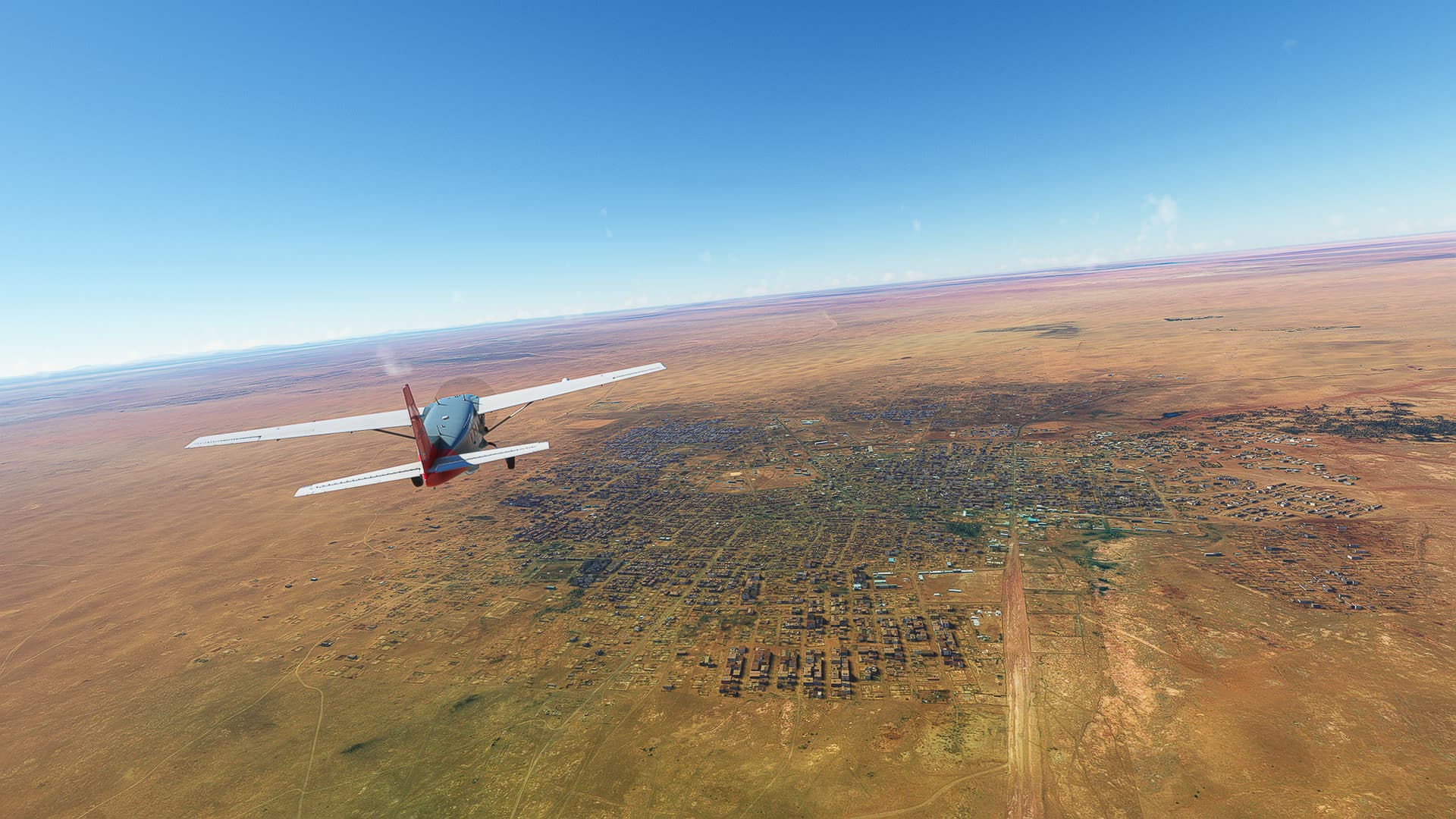
1. Madaniyin - Tataouine: Our Trans-Saharan Journey begins in Madaniyin / Medenine (Pic 1) where we joined the RN19 (Pic 2) on its way south towards the Libyan and Algerian borders. Passing Bir Lahmar (Pic 3) and Cité Tahrir (Pic 4) we arrived in Tataouine (Pic 5).
2. Tataouine - Remada: Further south we came across the small town Dar Souïd (Pic 6) and crossed a seasonal river (a “wadi” or “oued”; Pic 7) and left the RN19 for the RR112 west of Remada itself (Pic 8).
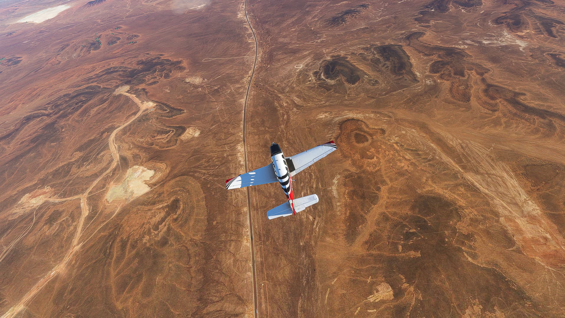
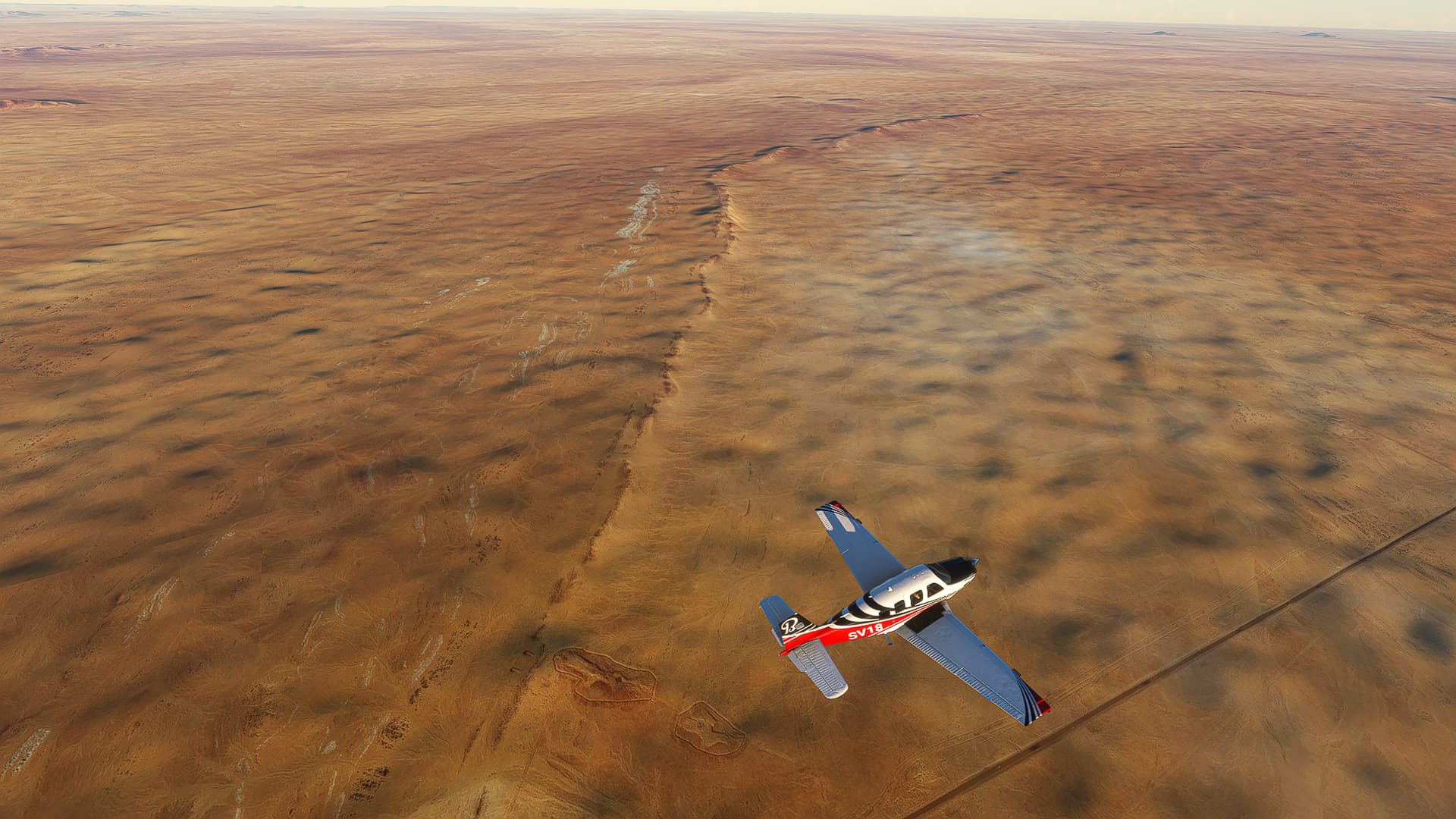
3. Remada - somewhere in the southern hill ranges: It becomes more difficult to name the locations of the shots the further away we get from named settlements, rivers or mountains. We crossed through a pass over the first major hill range south of Remada (Pic 9), skipping over another oued on our way south (Pic 10) before snaking our way southeastwards towards the Libyan border (Pic 11).
4. Somewhere in the southern hill ranges - Bir Zar: After crossing our third oued near the border with Libya (Pic 12) we turned southwest and flew alongside the border (Pic 13) and across another hill range (Pic 14) to Bir Zar (Pic 15).
Remada (DTRM) - Ghadames (HLGS).
Tunesia & Libya.
Flight No. 021.
Roads Used: Route Locale 211 (Remada - Ghadames).
1. Remada - Libyan Border: I’ll be honest with you, there isn’t anything named on our way except the border, so I can’t really create more than two etappes to divide the pictures. We left Bir Zar (Pic 1) and joined the Route Locale 211 towards Libya (Pic 2).
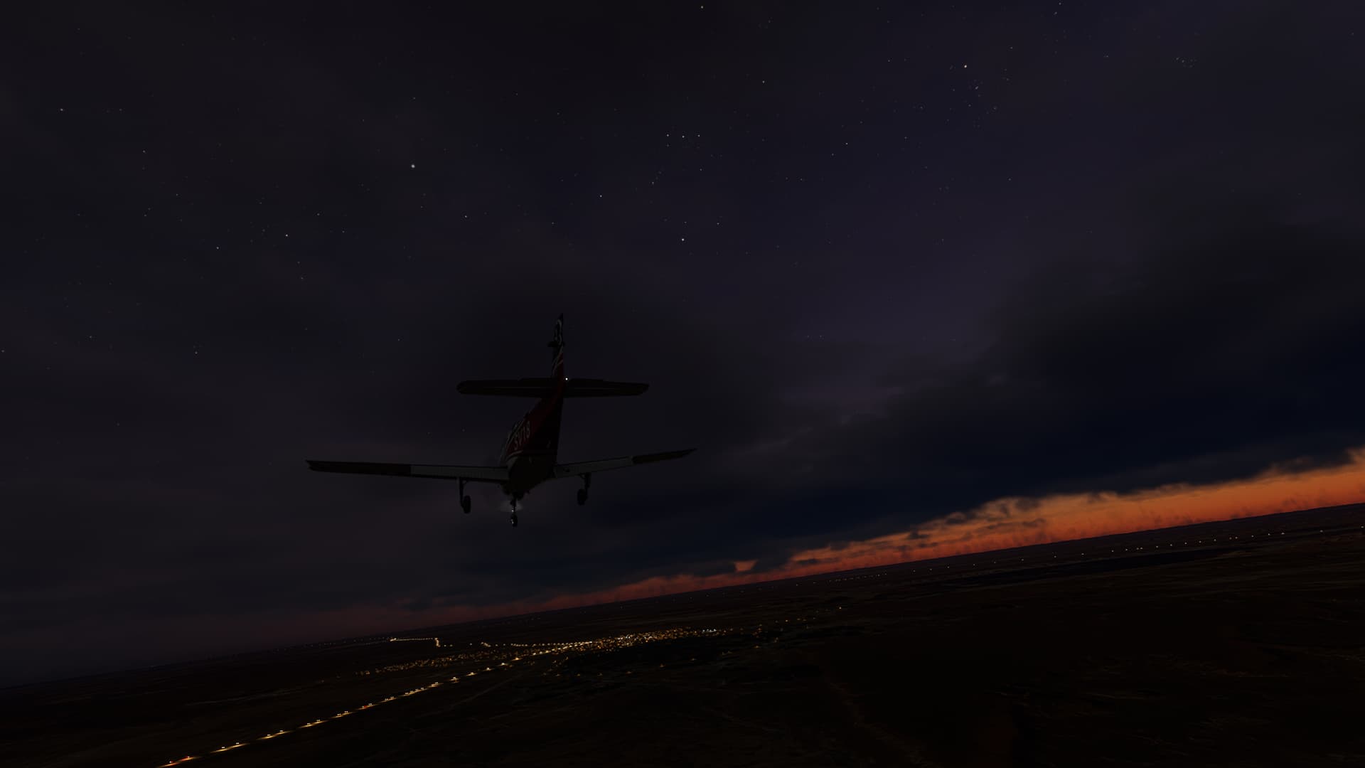
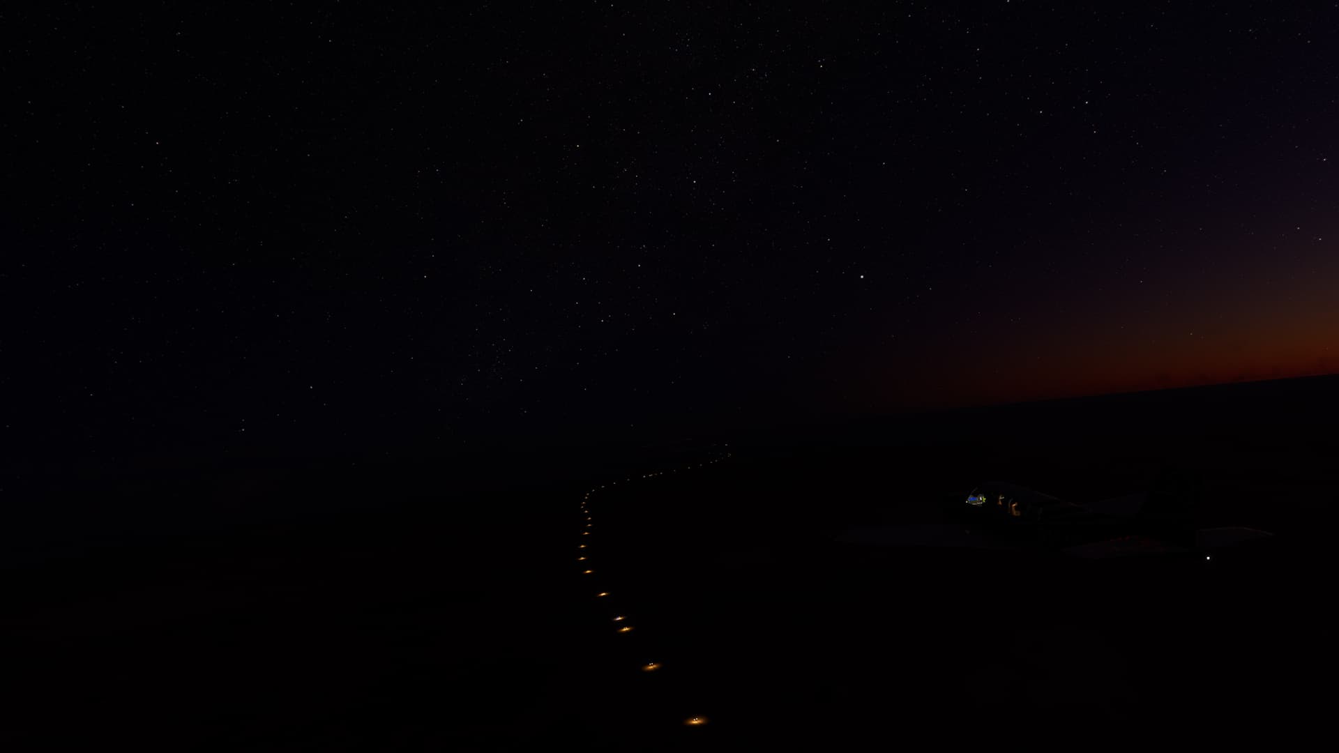
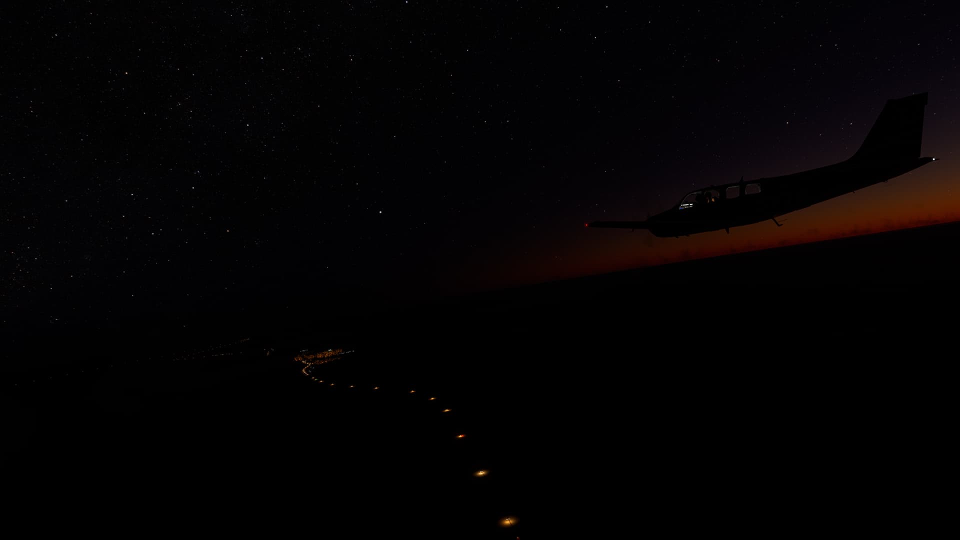
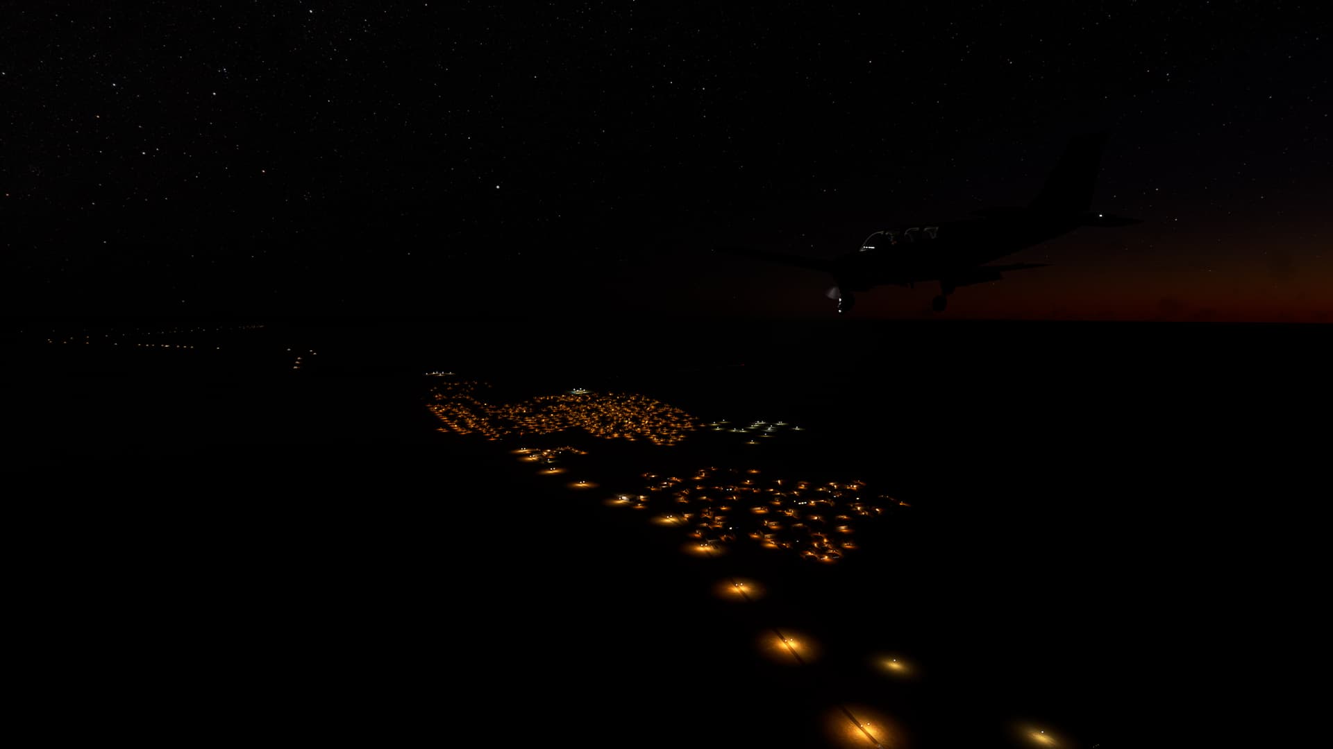
2. Libyan Border - Ghadames: Night has fallen on the Tunesian-Libyan border (Pic 11) as we approached the airfield west of Ghadames proper (Pic 12).
Ghadames (HLGS) - In Aménas (DAUZ).
Libya & Algeria.
Flight No. 022.
Roads Used: Route Nationale 53 / RN53 (Ghadames - Debdeb-In-Aménas Border) & RN3 (Debdeb-In-Aménas Border - In Aménas).
1. Ghadames - Debdeb: We took off from one of Ghadames’ airfields (which I accidentally placed in Algeria yesterday, instead of in Libya), climbed to 4500ft altitude and circled around the town itself (Pic 1) before joining RN53 towards In Aménas in Algeria, passing the town of Debdeb across the border (Pic 2).
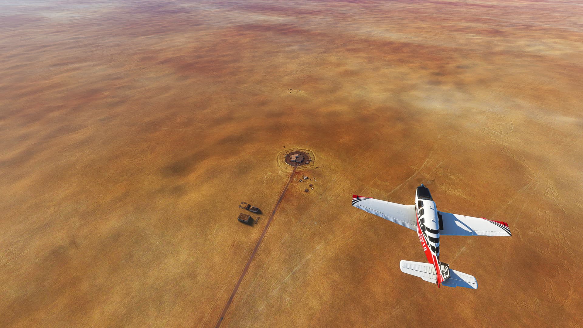
2. Debdeb - Debdeb-In-Aménas communal border: We passed a lot of unnamed settlements, houses and some breathtaking natural formations in the desert beyond Debdeb before arriving at a Military Encampment near the communal border (Pic 11).
3. Debdeb-In-Aménas communal border - In Aménas: Leaving the plateau we’ve been on since entering Algeria (Pic 12) we made our way along the RN3 past another few unnamed buildings (Pic 13, 14 & 15) towards In Aménas.
In Aménas (DAUZ) - Illitzi (DA10).
Algeria.
Flight No. 023.
Note: Back from my Easter vacation so you can expect regular post again!
Roads Taken: Route Nationale 3 / RN3 (In Aménas - Illitzi).
1. In Aménas: Taking off from In Aménas (Pic 1) we passed the town itself (Pic 2) and joined Route Nationale 3 (Pic 3) on our way south, deeper and deeper into the Sahara.
2. In Aménas - Illitzi District border: Following the winding road we came across both natural rock formations (Pic 4) but also human settlements, oil wells and other emcampments along the RN3 (Pic 5). Leaving the plateau we’ve been on we found a greenish-grey part of the desert as we turned west again (Pics 6 & 7).
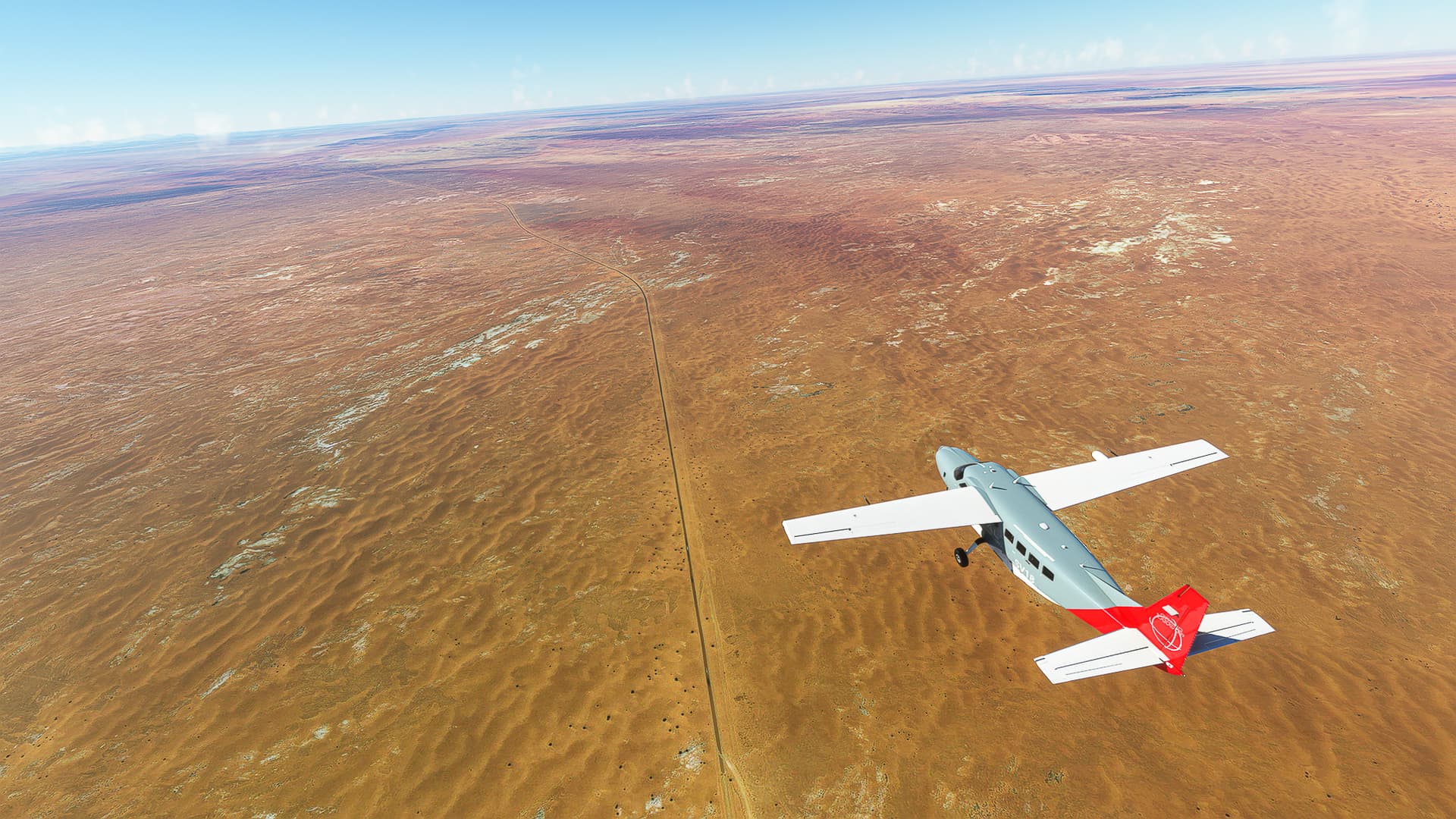
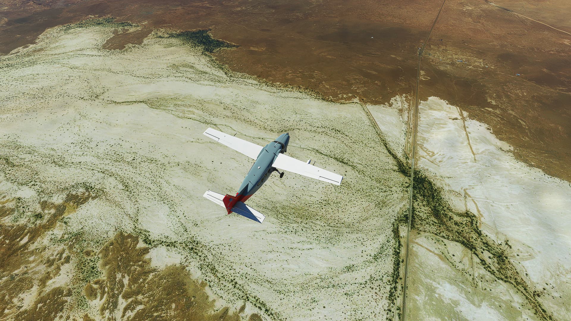
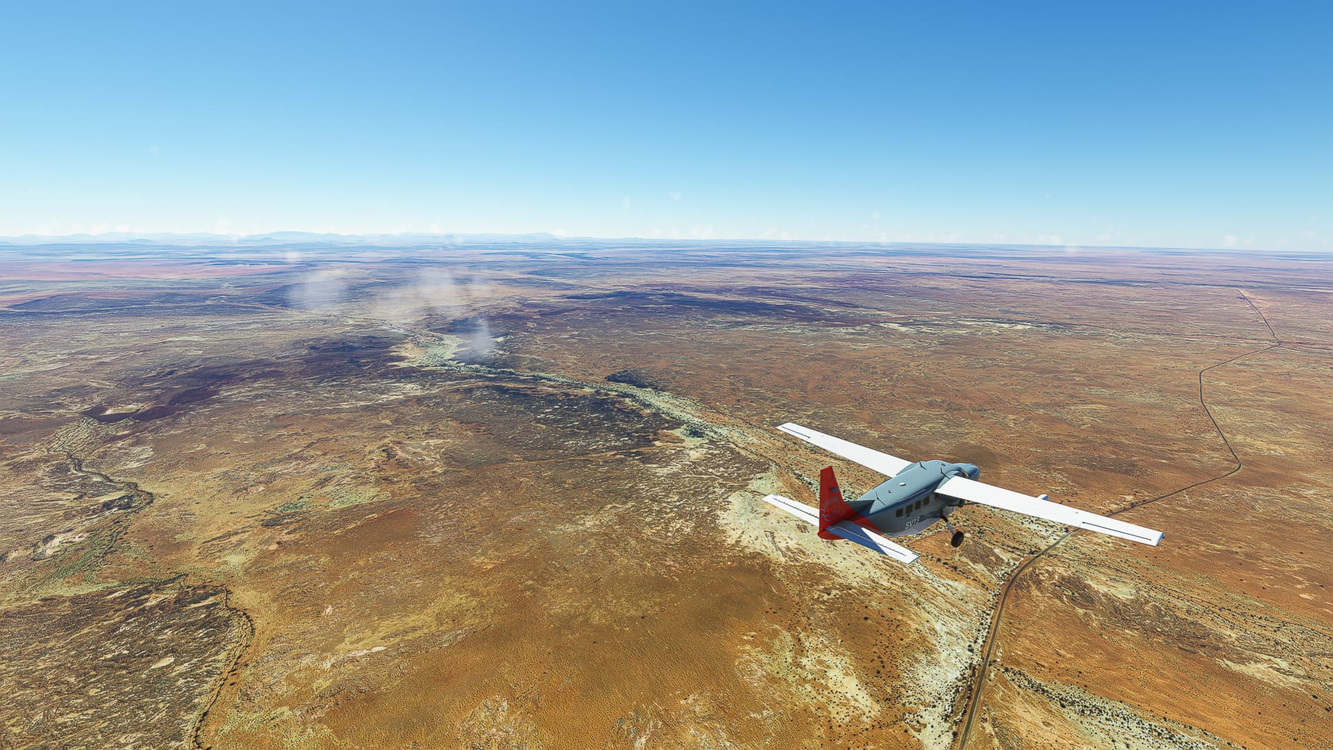
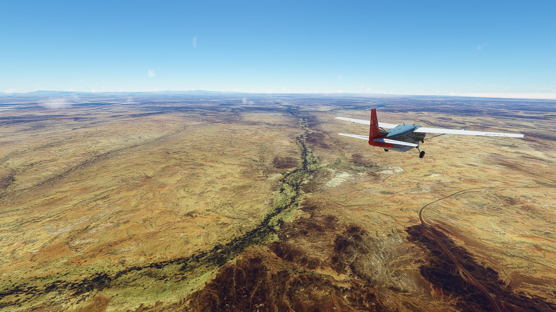
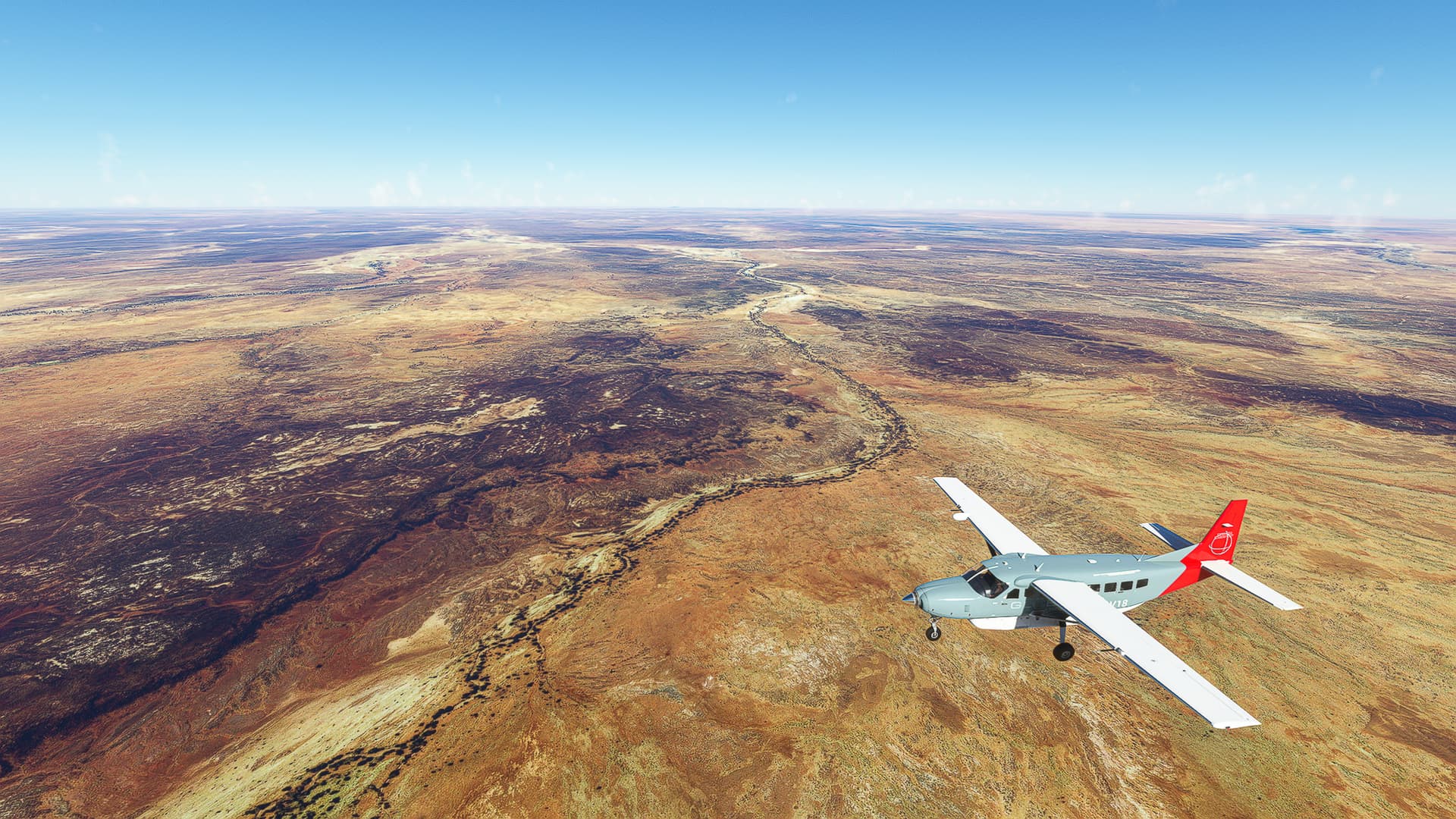
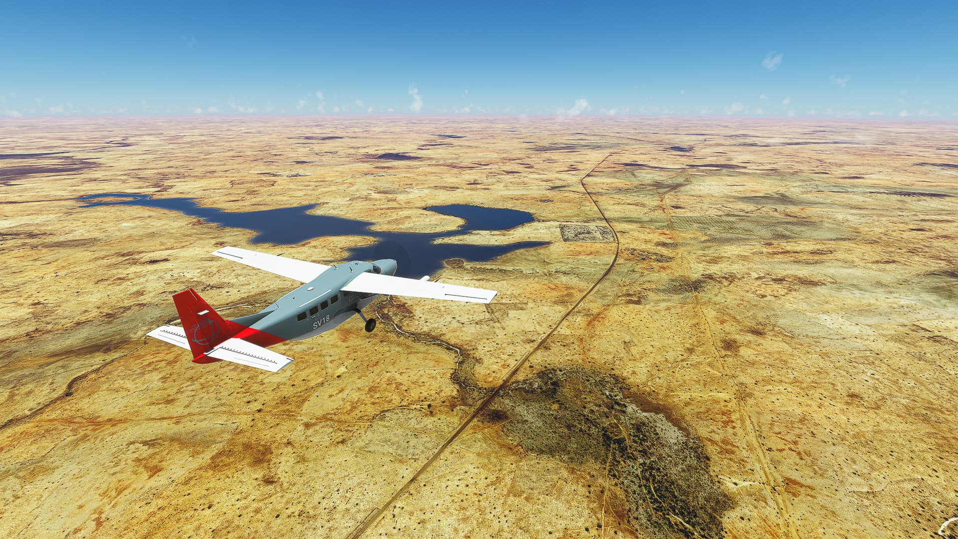
3. Illitzi District border - CW473 Intersection: On our way we often came across areas definitely shaped by human hands but without 3d models, leaving it unclear if they are actual ruins or flat resting places or just unmodeled encampments (Pic 8). After more awesome landscapes (Pic 9) and small signs of enduring human life (Pic 10) we reached a large oued (Pic 11) as well as an intersection with a local road which runs eastwards towards Tarat (Pic 12).
4. CW473 Intersection - Illitzi: Leaving both behind we turned west for a penultimate time (Pic 13) and followed RN3 (Pic 14) to Illitzi Airfield.
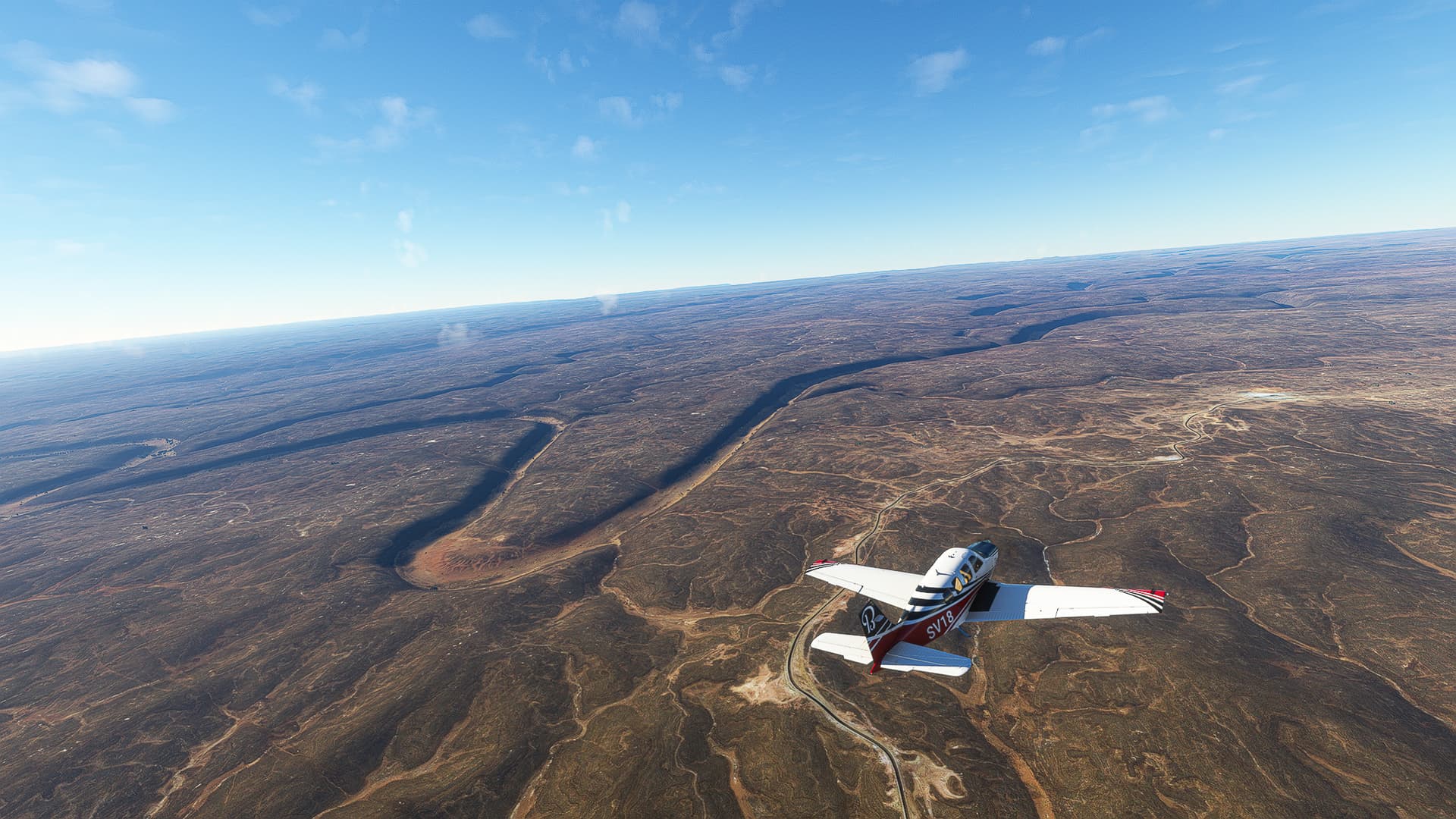
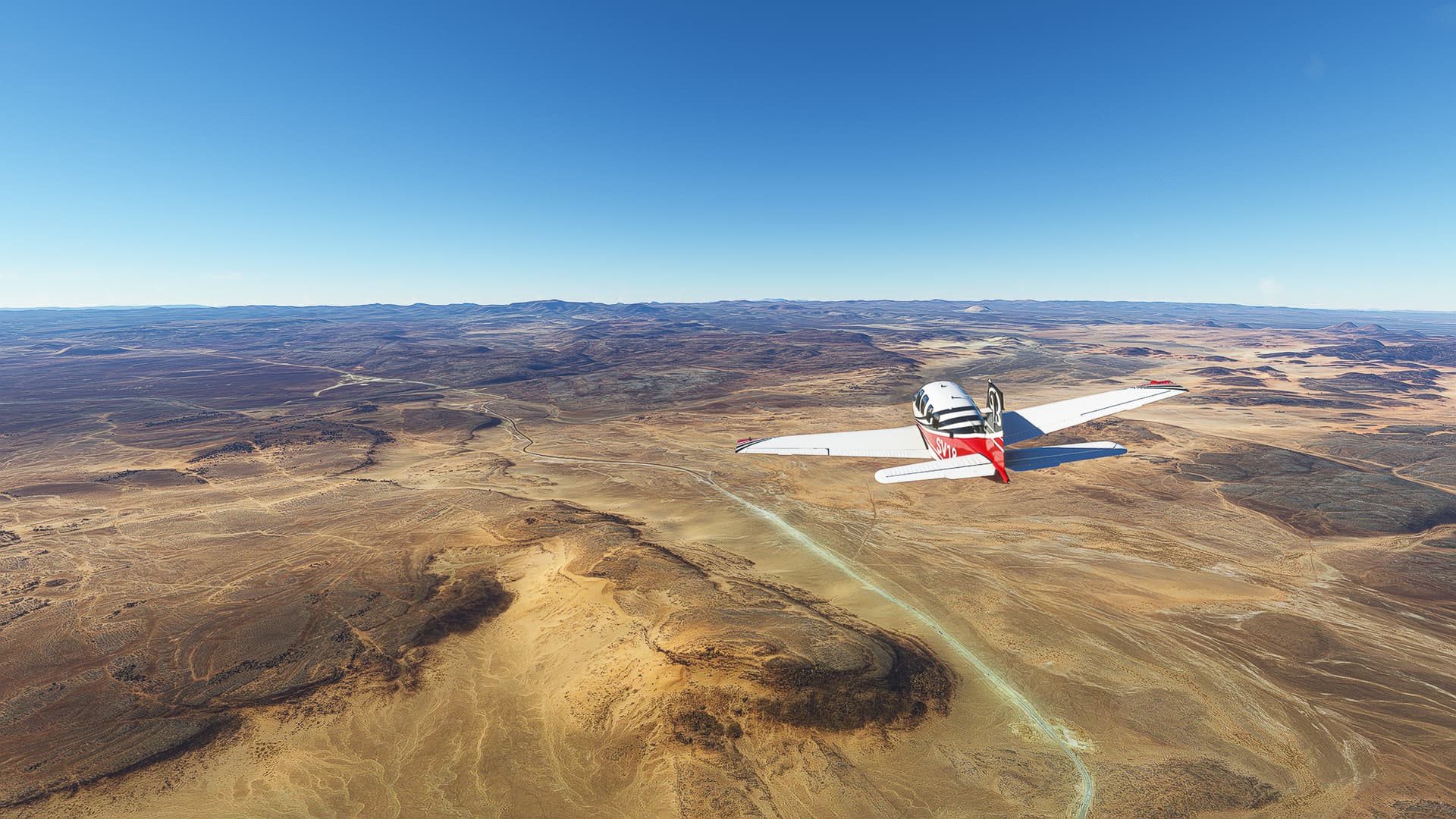
Illitzi (DA10) - Tamanrasset / In Amguel (DATR).
Algeria.
Flight No. 024.
Note: This was simultaneously our longest (350nm) and highest (7500ft) trip so far. It is also a conjecture with another world trip attempt I started in September 2021 - during the coming flights we’ll follow our old route from In Amguel to In Guezzam before turning southeast instead of southwest.
Roads Taken: Route Nationale 3 / RN3 (Illitzi - Bordj El Haouas) & Route Nationale 55 (Bordj El Haouas - In Amguel).
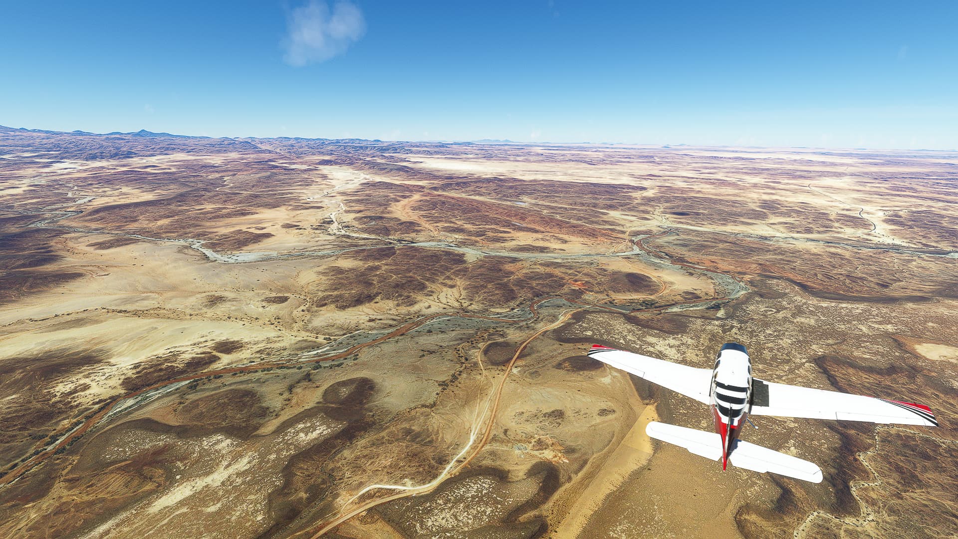
1. Illitzi - Fadnoun: After take off from Illitzi Airfield (1) we entered RN3 and passed Illitzi itself (2). We came across gorgeous gorges (heh~; 3, 4 & 5) before entering a plateau near Fadnoun (6).
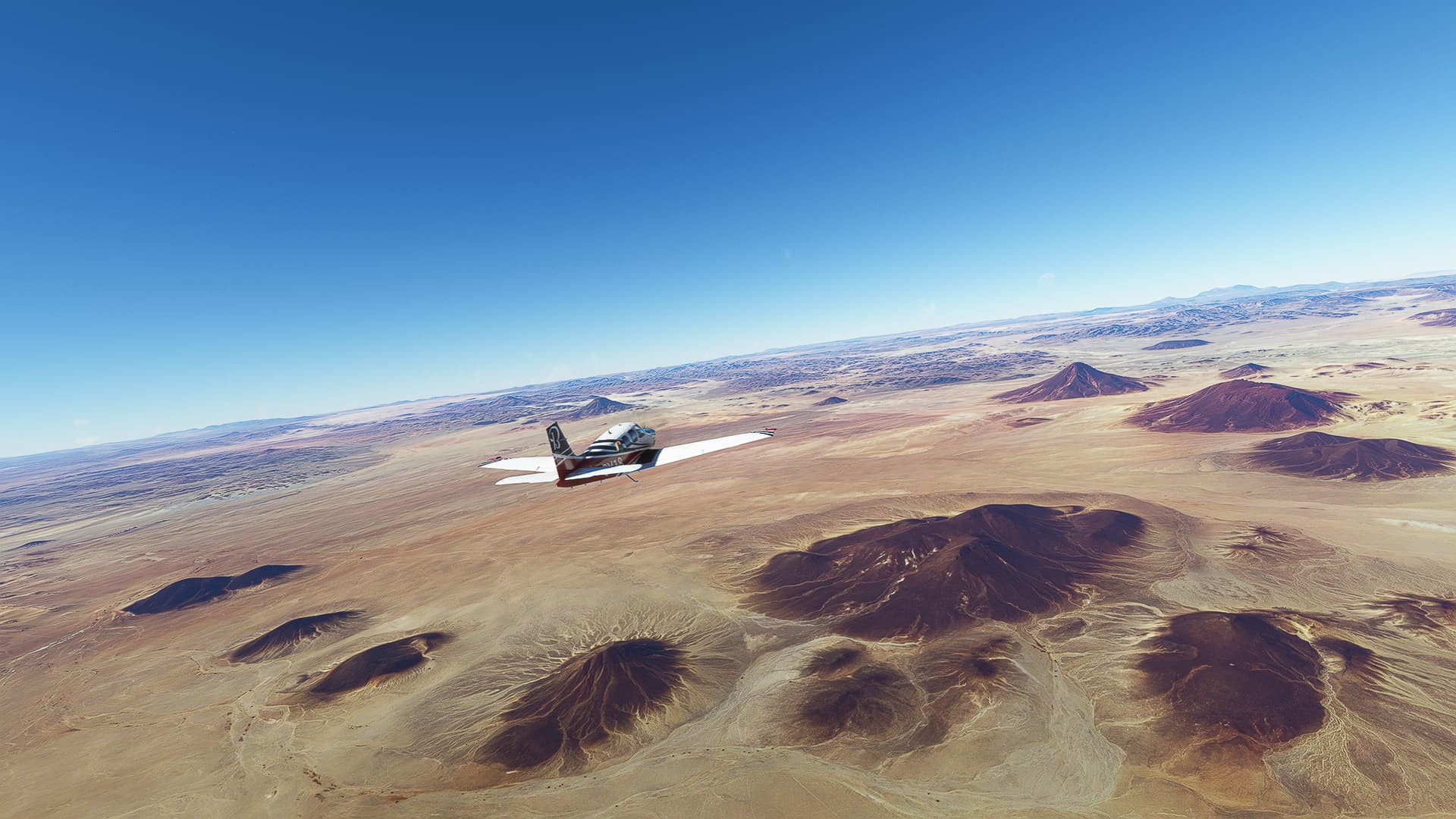
2. Fadnoun - Bordj El Haouas: We crossed the Illitzi-Djaret border halfway between Fadnoun and Bordj El Haouas (7), coming across a formation of dark rock and golden sand (8) while the terrain became higher and more rugged the further we went east (9) before entering a wide desert plain near Bordj El Haouas (10).
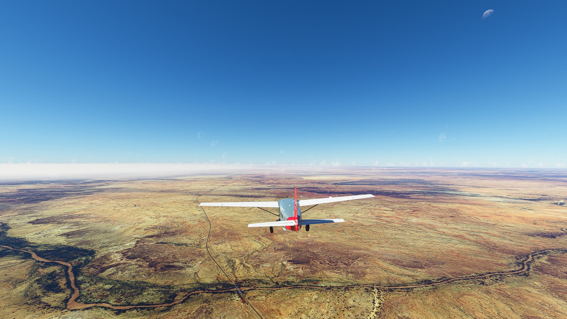
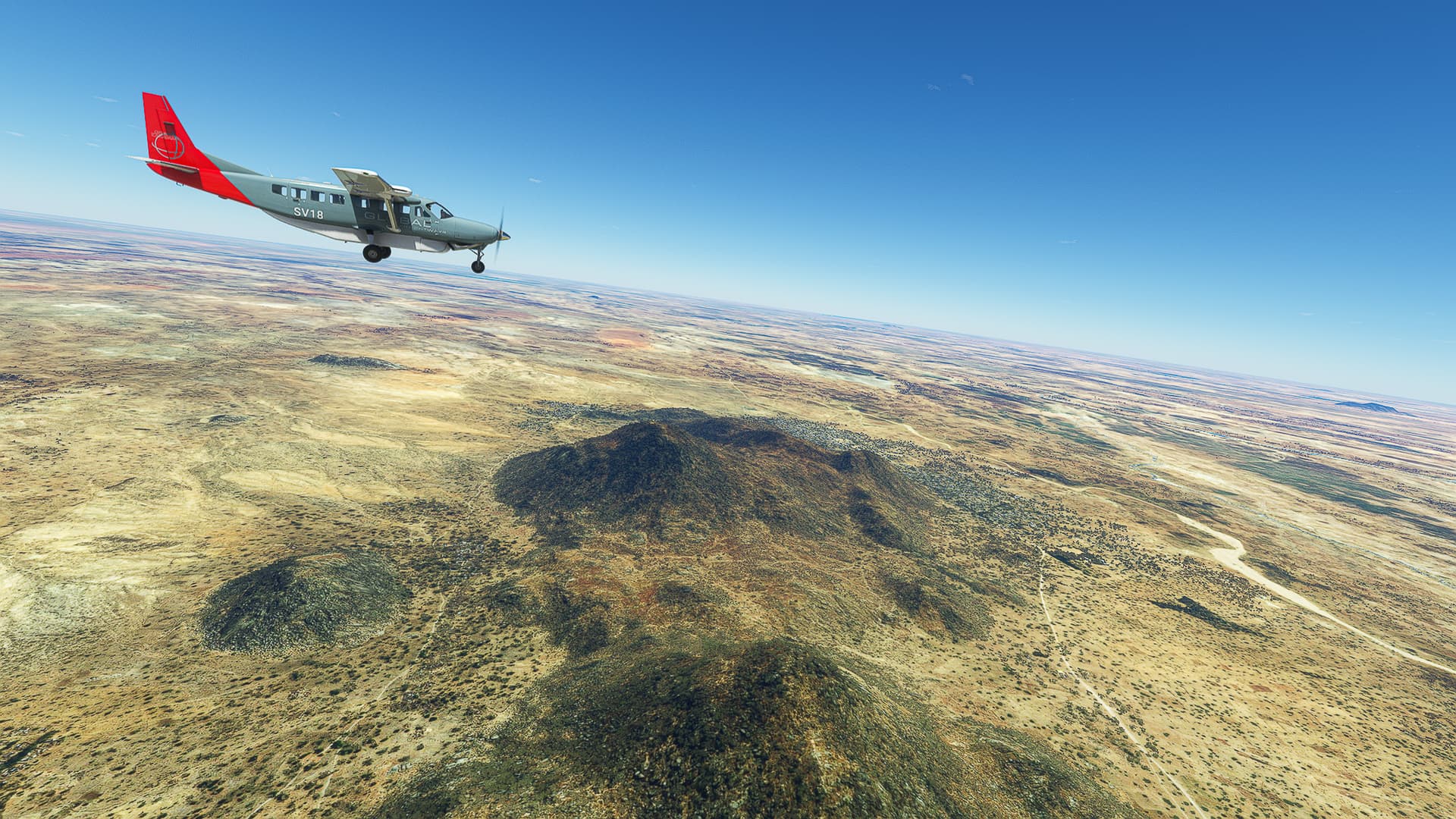
3. Bordj El Haouas - Djaret-Tamanrasset Border: Now our trip across the Hoggar Mountains begins above Tabakat (11), the last village we’ll see this side of the range. Chasing the moon westwards we came across sun-baked mountains (12 & 13), larger and smaller oueds (14) and multiple small volcanoes (15).
4. Djaret-Tamanrasset Border - Idles: After crossing the district border we found some amazing natural vistas (16 & 17) before coming across a large plain with a multitude of oueds running down from the distant mountains (18 &19). A short while after small rock ridges appeared in the ground, leading to another few interesting shots (20 & 21). Finally we followed Telouhet, another large oued westwards (22) and reached Idles (23).
5. Idles - In Amguel: The landscape changed and more and more small villages and unpaved roads appeared the further west we came (24). Still following RN55 (25) we turned north near In Amguel (26) and landed after almost three hours on its airfield.
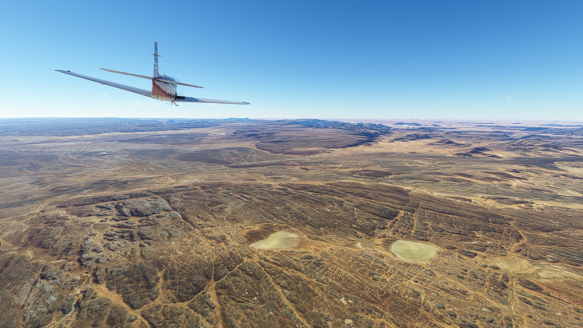
Tamanrasset / In Amguel (DATR) - Tamanrasset / Aguenar (DAAT).
Algeria.
Flight No. 025.
Roads Used: Route National 1 / RN1 (In Amguel - Tamanrasset).
1. In Amguel - RN55 Intersection: Since a direct flight to In Guezzam would take up too much time I decided to add a short trip to Tamanrasset proper, so we have less work tomorrow. Starting from In Amguel Airfield (1) we reached the town itself (2) before coming across the spot where our former road, the RN55, meets the RN1 we’re currently on (3).
2. RN55 Intersection - Tâhârt Crossing: Beyond the intersection we passed multiple oueds (4 & 5) before crossing the largest one, the Tâhârt (6), with the Hoggar Mountains looming in the distance.
3. Tâhârt Crossing - Tamanrasset: It was a short trip unlike the last one - soon we passed Tit (7), a nameless compound (8) and finally we crossed the Oued Amded in the outskirts of Tamanrasset (9) before landing at the local airport.
Tamanrasset / Aguenar (DAAT) - In Guezzam (DATG).
Algeria.
Flight No. 026.
Note: With every nautical mile and every desert dune I feel more like I’m actually driving a truck through the Sahara desert instead of flying in a plane. The road goes ever on and on… no wonder I put on a trucking playlist about half the way to the southern border 
Roads Used: Route Nationale 1 / RN1 (Tamanrasset - In Guezzam).
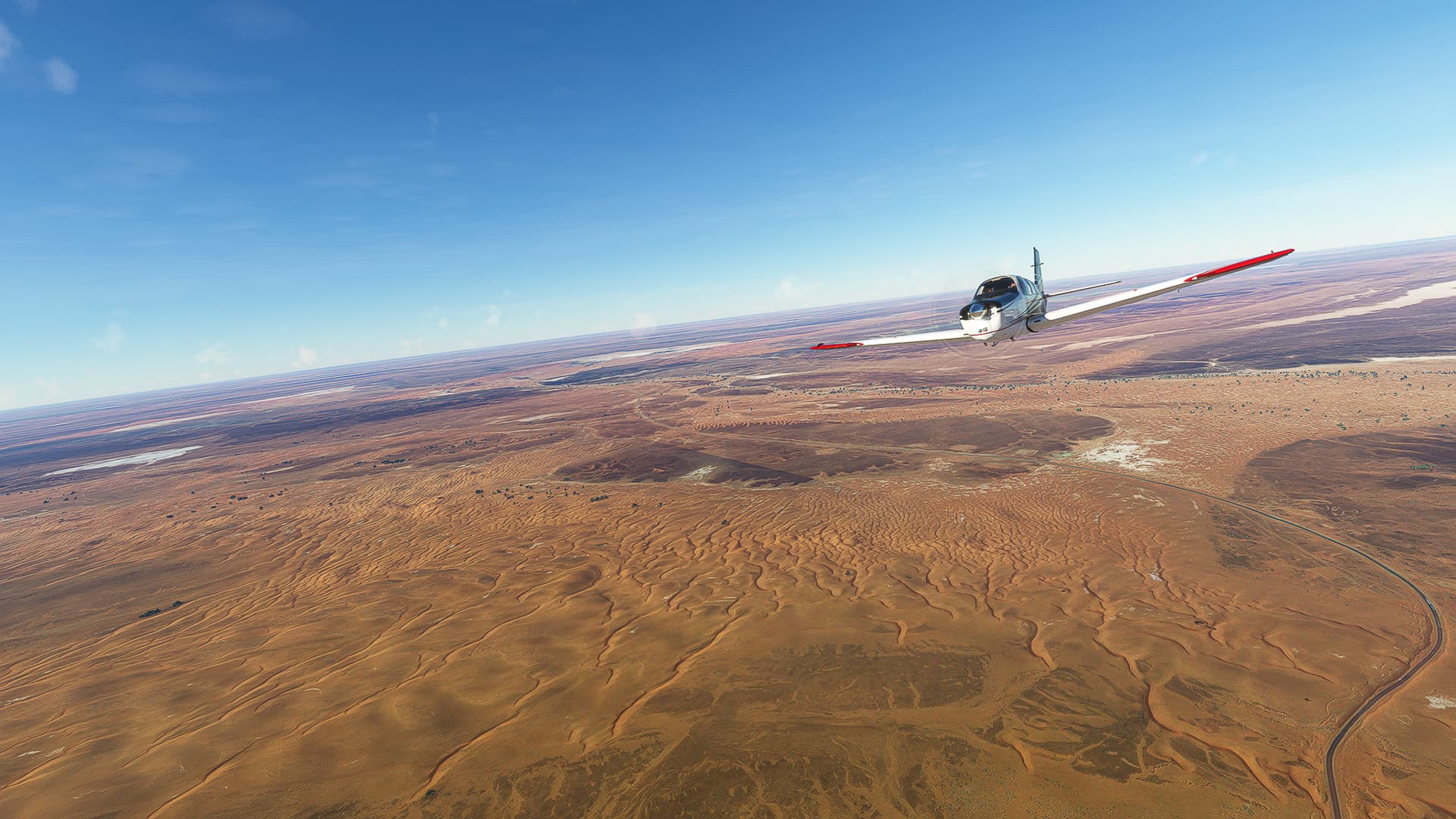
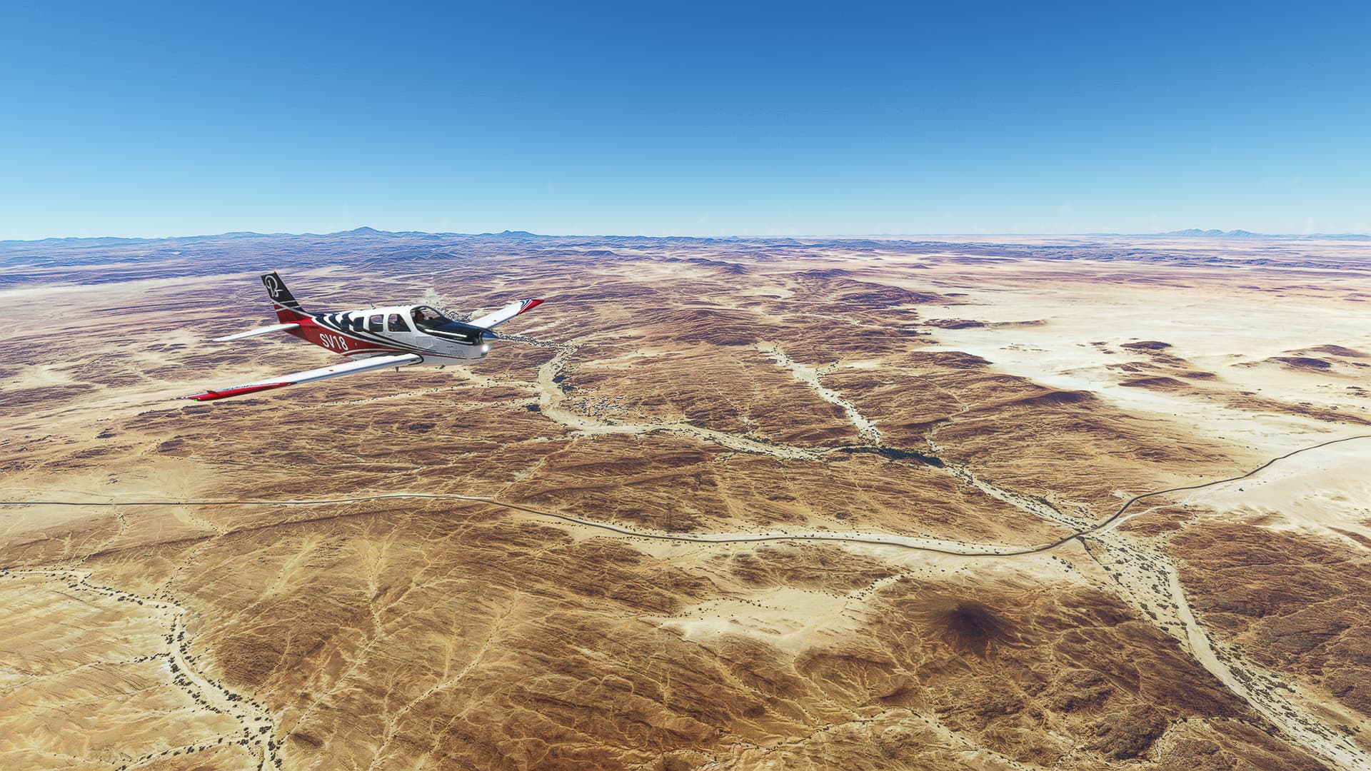
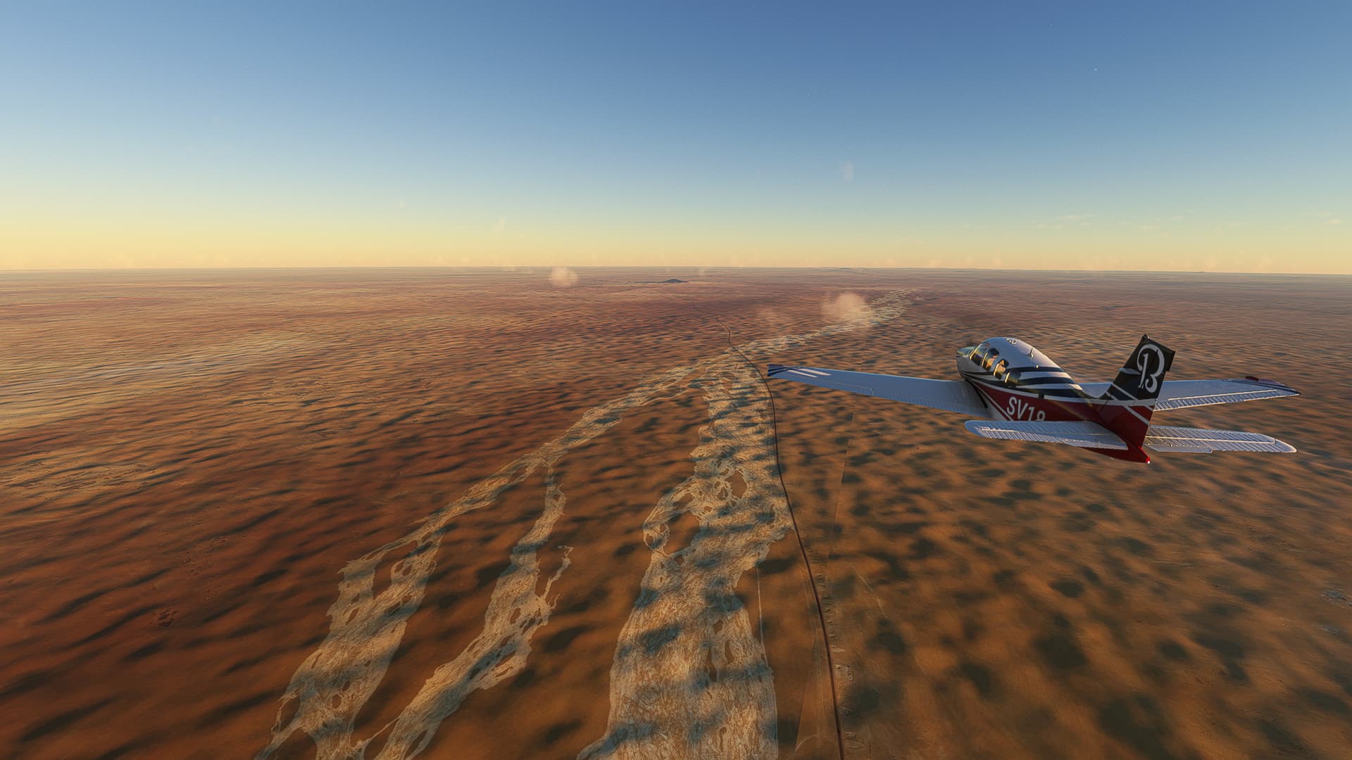
1. Tamanrasset - Southern Edge of the Hoggar Mountains: Okay, I changed the plan again - we’ve flown the way to the southern border today. Passing Tamanrasset (1) we followed RN1 further south (2) past Amsel (3) out of the Hoggar Mountains (4) until we reached a flat desert plain (5) that stretches all the way to In Guezzam.
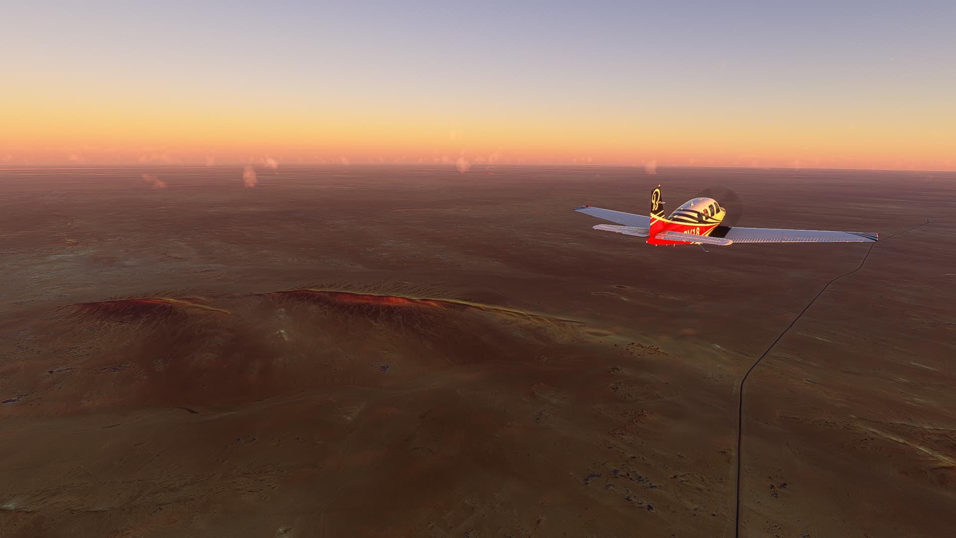
2. Southern Edge of the Hoggar Mountains - Tamanrasset - In Guezzam Border: We came across traces of water in the sand (6), small ridges (7) and little hills (8) while the sun continued to set (9) as we approached the district border to In Guezzam (10).
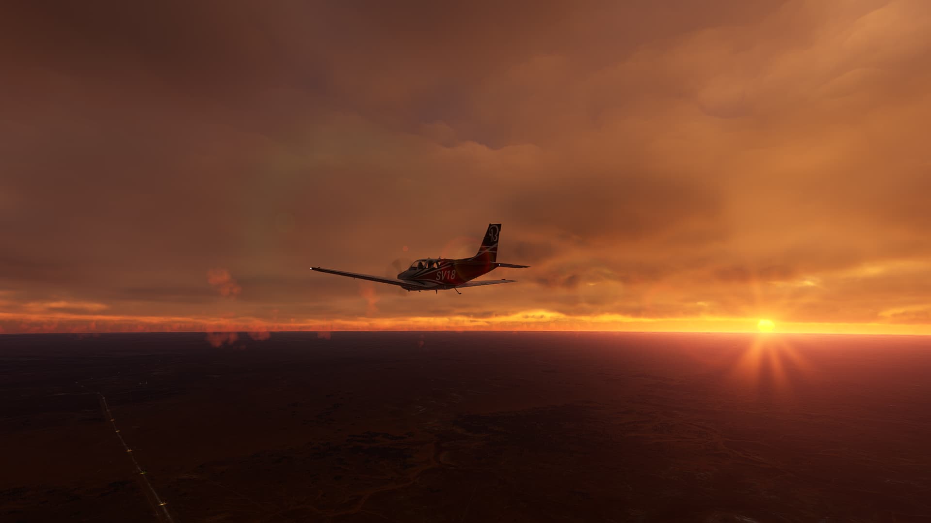
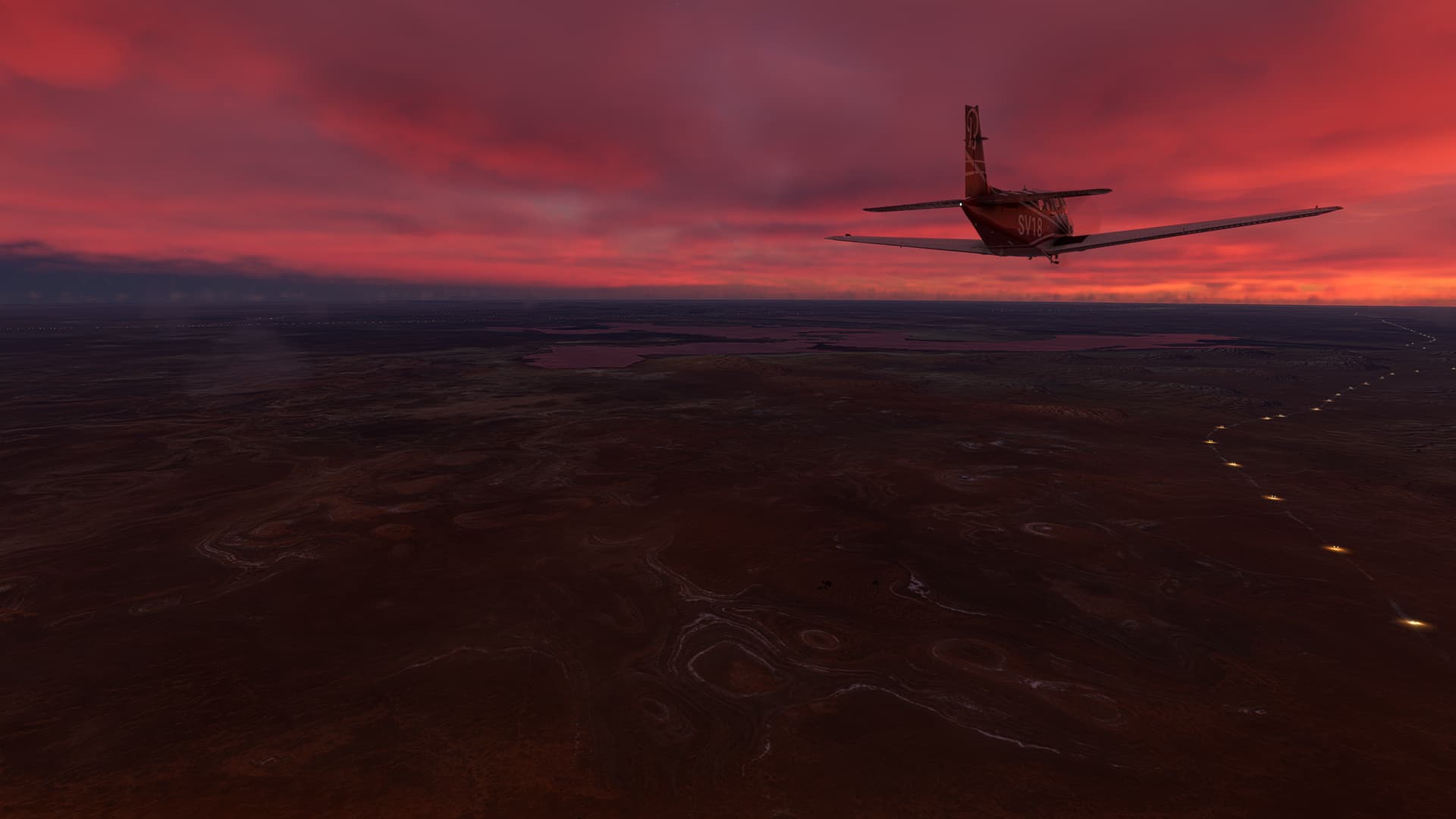
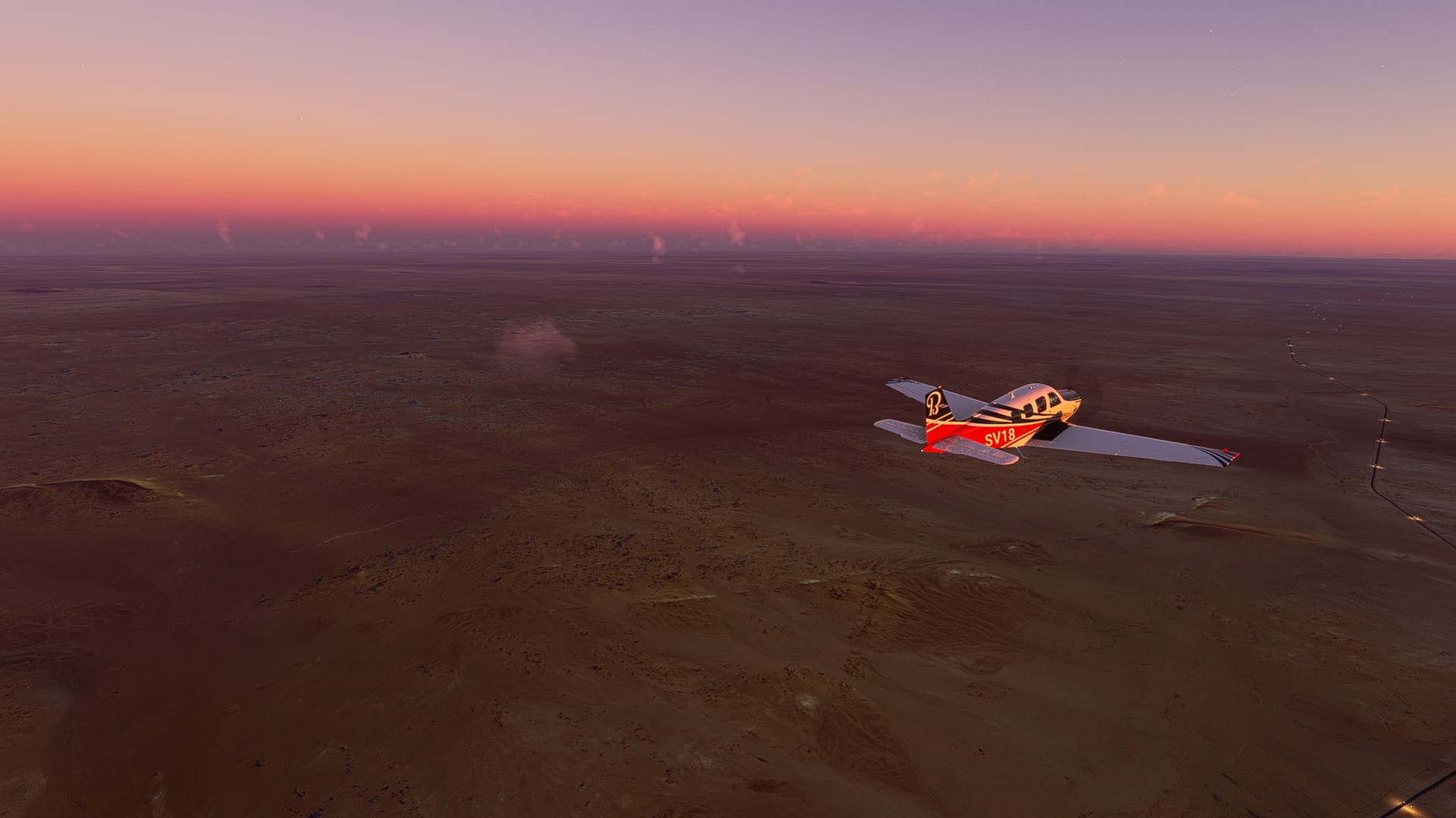
3. Tamanrasset - In Guezzam Border - Dunes Laouni: Looking back across the border and towards the sunset (11) we focussed on our way forward through the vibrant desert evening (12). We could spot more and more small white puffs of clouds in the distance (13 & 14) and finally reached the Laouni Dunes (15) just as the sun vanished behind the horizon.
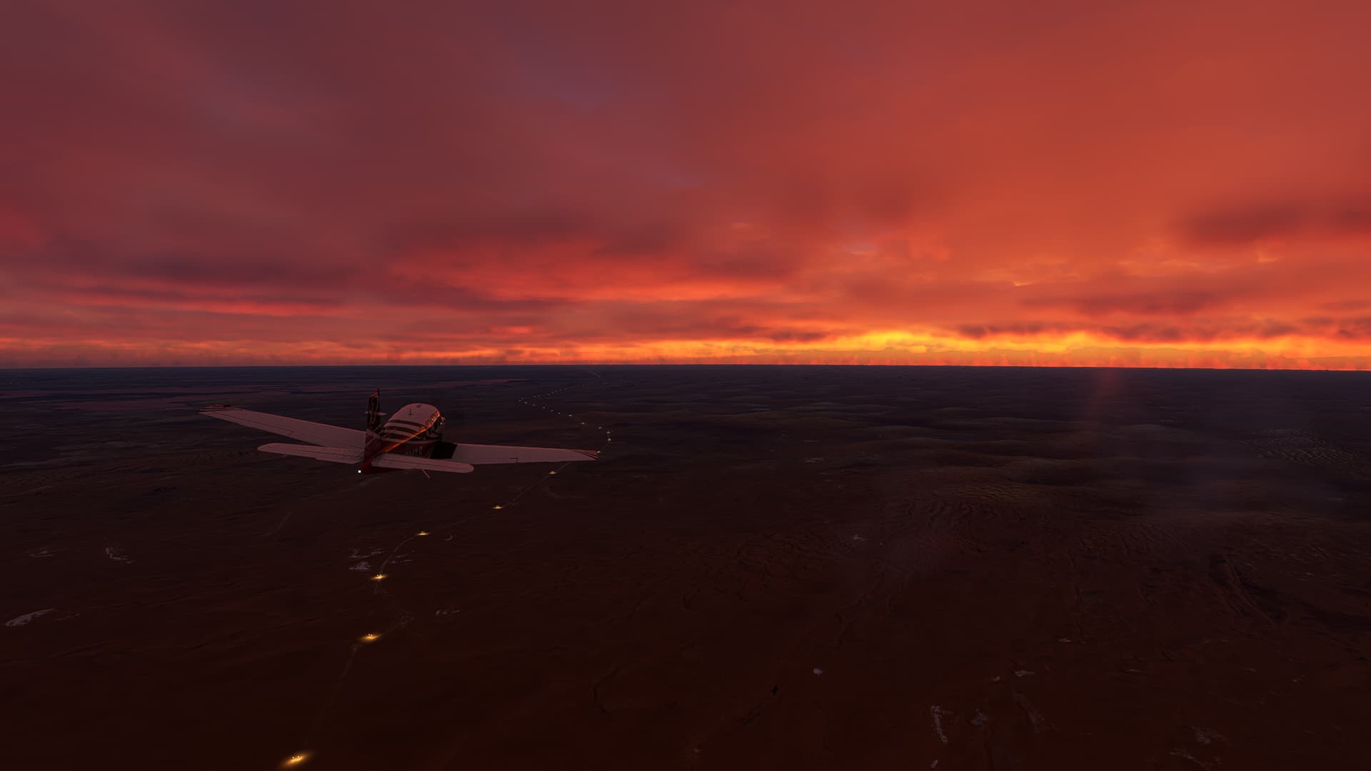
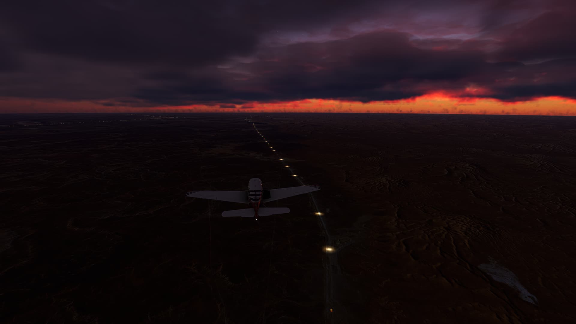
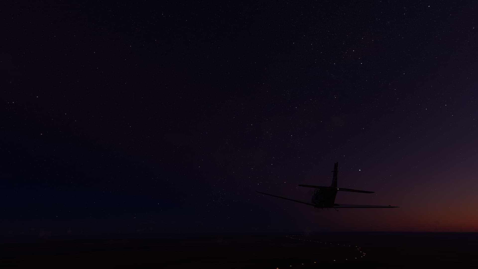
4. Dunes Laouni - In Guezzam: As the stars came out we followed the lights of RN1 (16) while it got darker and darker (17). Then we saw In Guezzam in the distance (18) and I noticed my mistake - I didn’t check if the airfield was illuminated (it was, but so faint that I saw it just before touchdown). Still we approached across the town itself (19) and landed without any major troubles.
In Guezzam (DATG) - Arlit (DRZL).
Algeria & Niger.
Flight No. 027.
Note: This trip is definitely haunted! The Route Nationale 25 between the border and Arlit is 99% haunted (at least ingame)! Brutal winds driving you off the road, but ceasing when you turn away, vanishing houses and a creepy Uranium Mine near the landing strip. TERRIFYING!
Roads Used: Route Nationale 1 / RN1 (In Guezzam - Assamakka) & Route Nationale 25 / RN25 (Assamakka - Arlit).
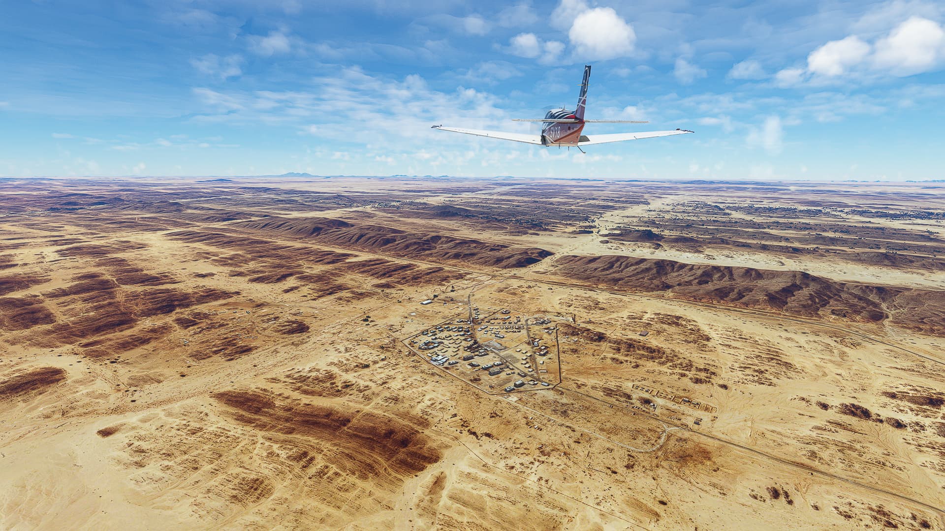
1. In Guezzam - Assamakka: The uneventful part of the trip - we took off, climbed to 3500ft and passed both the airport and the town itself (1) before heading out into the desert. We came across a weird building where the road apparently ended and the cars and trucks drove off into the dunes (2) before finding the road again near Assamakka in Niger (3).
2. Assamakka - Arlit: The haunted part of the trip - inaccurate maps or shifting roads, evil winds of 30-35kn who calmed to 10-15 whenever we turned east or west and houses that just vanish when you pass them. But still a beautiful desert landscape! Finally we reached Arlit and its Uranium Mine (16 & 17) before landing almost sideways due to the 37kn crosswinds.
Arlit (DRZL) - Agadez / Manu Dayak (DRZA).
Niger.
Flight No. 028.
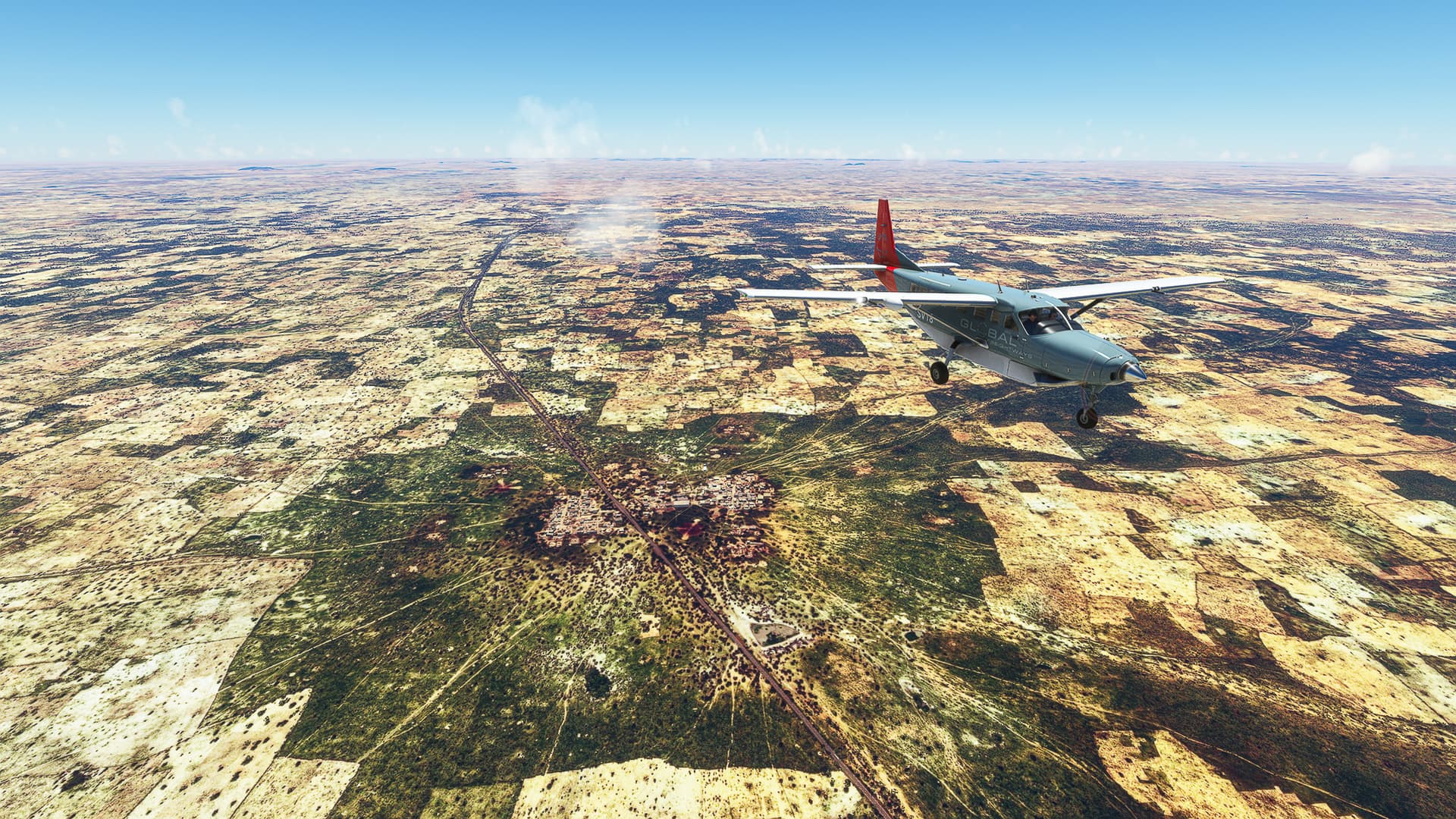
Note: To comply with my concept as an “Air Trucker” I changed our plane from our trusty Bonanza to a more fitting Grand Caravan. I didn’t do it just for the aesthetics, though, but due to a simple fact the GC is much more useful for such a “roadbound WT” - it has a shorter nose and a larger front screen! I don’t have to break my neck and/or my immersion any longer by sticking my head out of the cockpit (fyi I’m using a headtracking gear) to see the road in front of me. Now I can comfortably look over the nose down onto the land in front of our plane!
Roads Used: Route Nationale 25 / RN25 (Arlit - Agadez).
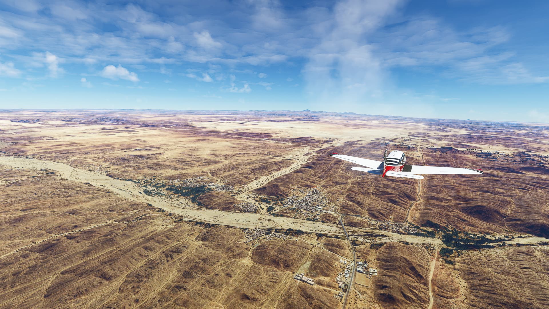
1. Arlit - Anoumakaram: We started on the airfield next to the Uranium Mine of Arlit (1) and crossed the town itself (2) to rejoin RN25 (3). The face of the desert has changed again - instead of sand dunes and flat surfaces we came across sharp ridges and fields of rocks and stones (4 & 5). The oueds got wider and greener, too (6) - we are about to leave the Sahara and enter the Sahel Zone!
2. Anoumakaram - Tchirozérine: We’ve crossed oueds nearly every five minutes from Anoumakaram onwards (7 - 12). Each one greener and lusher than the one before. And then we saw it - we found the first actual river since leaving Tunisia near Tchirozérine (13)!
3. Tchirozérine - Agadez: Another change happened - it got foggy all out of a sudden as we passed Ouagadi and Ekazan Hills (14) and turned towards Agadez (15). We’ve successfully crossed the Sahara!
Agadez / Manu Dayak (DRZA) - Tanout (DRZT).
Niger.
Flight No. 029.
Roads Used: Route Nationale 11 / RN11 (Agadez - Tanout).
1. Agadez - Afnou: Leaving Agadez after turning south above Alarsas (1) we crossed the first oued of the day (2) before taking on the Sahel itself (3) and reaching a larger ridge near Afnou Mountain (4).
2. Afnou - Adérbissinat: After crossing the ridge we continued along the RN11 (5 & 6), crossing oueds (7) and passing Adérbissinat (8) near the border with Tanout Departement.
3. Adérbissinat - Tanout: I don’t know what exactly I’ve got in this shot (9) but it looks stunning! Following our standard procedure of following roads and crossing oueds (10) we noticed the density of small villages and towns constantly increasing the further south we came (11). Passing Tatokou (12) and beginning our descent near Kelé Kelé (13) we landed on a barely visible dirt strip west of Tanout.
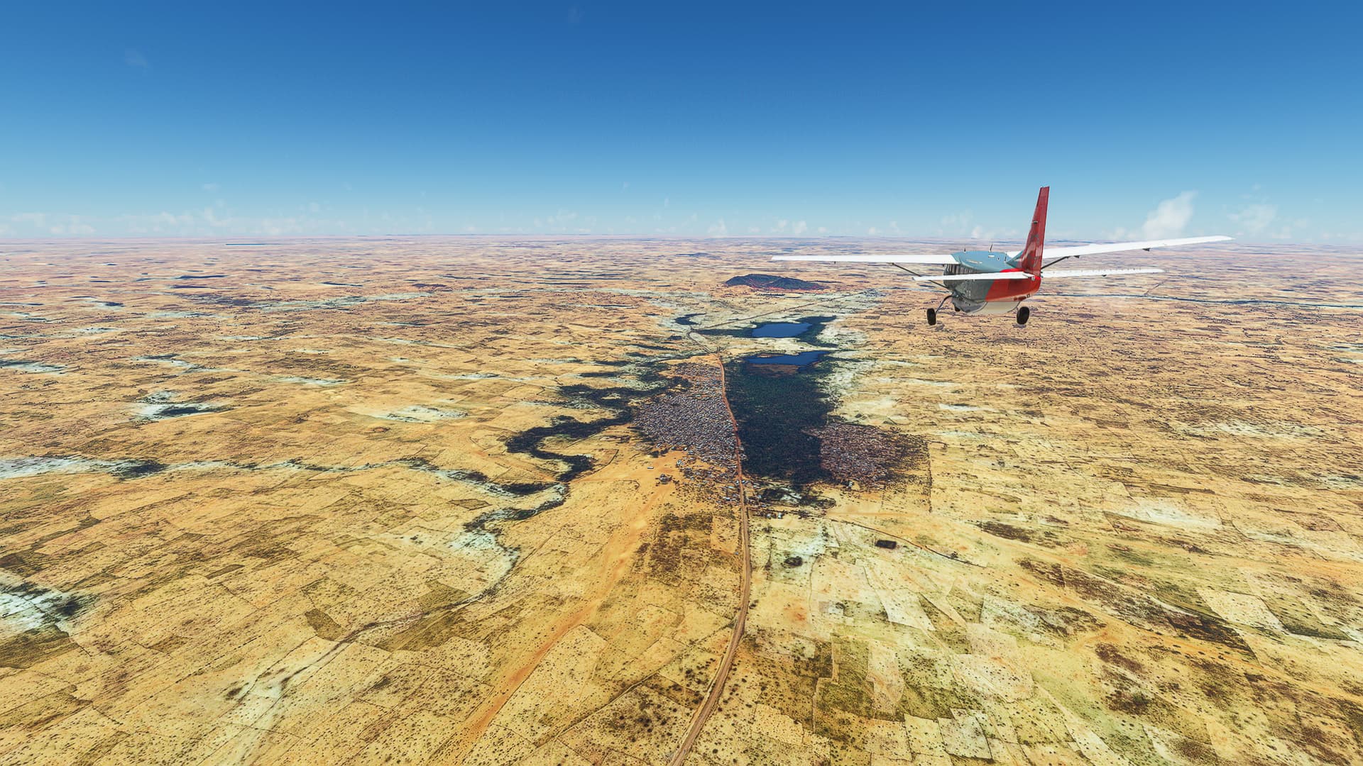
Tanout (DRZT) - Goure (DRZG)
Niger.
Flight No. 030.
Roads Used: Route Nationale 11 (Tanout - Zinder) & Route Nationale 1 (Zinder - Goure).
1. Tanout - Sabon Kafi: As soon as we took off we were greeted by this weird sight - dozens of hook-like trenches or ditches in the ground (1)! They stretched all the way to Tanout itself (2) beyond which they disappeared. Another impressive sight close-by was the Mare de Tapkin Dolli, a seasonal lake near Doli (3). Passing it we continued south and stumbled across multiple small settlements along the road, like Majya (4).
2. Sabon Kafi - Zinder: After visiting Bakin Birji (5) we crossed over to Mirriah Departement and continued to the regional capital of Zinder (6). From here we joined the RN1 on its way east towards the Chadian border.
3. Zinder - Guidimouni: The land southeast of Zinder is dotted with villages and small towns (7)! Larger ones are Mirriah (8) and Guidimouni (11). Between them stretches an agricultural landscape with multiple lakes and ponds, like Mare de Kissambana (9) and a large triangular one near Galbi (10).
4. Guidimouni - Goure: Northeast of Guidimouni we encountered a strangely shaped mountain (12) with multiple rocky ridges beyond it. We passed Guidiguir (13) and Faou Faou (14), before beginning our descent near Likariri (15) and landing in Goure.
Gouré (DRZG) - Diffa (DRZF).
Niger.
Flight No. 031.
Roads Used: Route Nationale 1 (Gouré - Diffa).
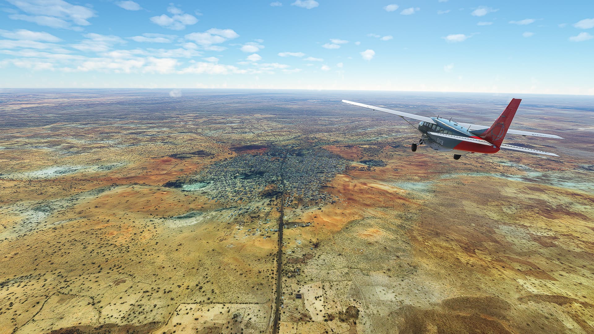
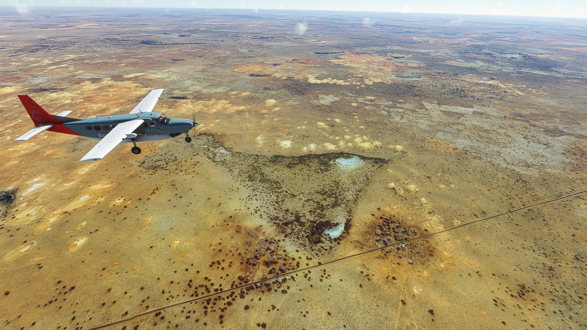
1. Gouré - Kilakina: After spending the night at Gouré Airfield we finally got to see the actual town (1) before turning southeast towards the regional border, passing Bala (2) and other settlements (3) along the way before arriving in Kilakila, the last village in Zinder Region. Leaving it behind we crossed the border to Diffa Region (4).
2. Kilakina - Mainé-Soroa: Now we entered perhaps the most colourful region I’ve ever seen during this World Trip - Diffa Region! We visited Goudoumaria (5), Garin Malam (6), Kilakam (7) and Tacha Rogo (8) before arriving in Mainé-Soroa (9) a border town to Nigeria.
3. Mainé-Soroa - Diffa: During the third and last part of this flight we followed simultaneously the RN1, the Nigerien-Nigerian border and the Komadugu Yobe River to the northeast towards Diffa (10 & 11). Passing the village communities of Gremadi, Gagamari and Chétimari (12) as well as Kourou Saleri (13) we made it to our destination and our last stop in Niger in about an hour of total flight time!
Diffa (DRZF) - Maiduguri (DNMA).
Niger & Nigeria.
Flight No. 032.
Note: I wasn’t happy with my shots from the last few trips - so many pictures of sub-par locations and landscapes that didn’t make me (as the artist) happy. So I thought about it (and was almost at a point of abandoning the WT - again) and decided to change something: There will be one picture per flight - or more if I feel like it. But I won’t pressure myself anymore into delivering 15-20 “quality” shots per flight just to “fill up” an imaginary quota for each post to satisfy my stupid perfectionism  So please enjoy from now on the pictures I’ve taken with all my heart!
Roads Used: Federal Road F128 (Diffa - Damasak), Federal Road F256 (Damasak - Maiduguri).
-
Yesterday I already knew that I just had to take another shot of the Komadugu Yobe riverscape! And the city of Diffa gave me a great opportunity for a beauty shot of the river passing by with the fields on one side, Diffa on the other and the steppe in the background. I like it!
-
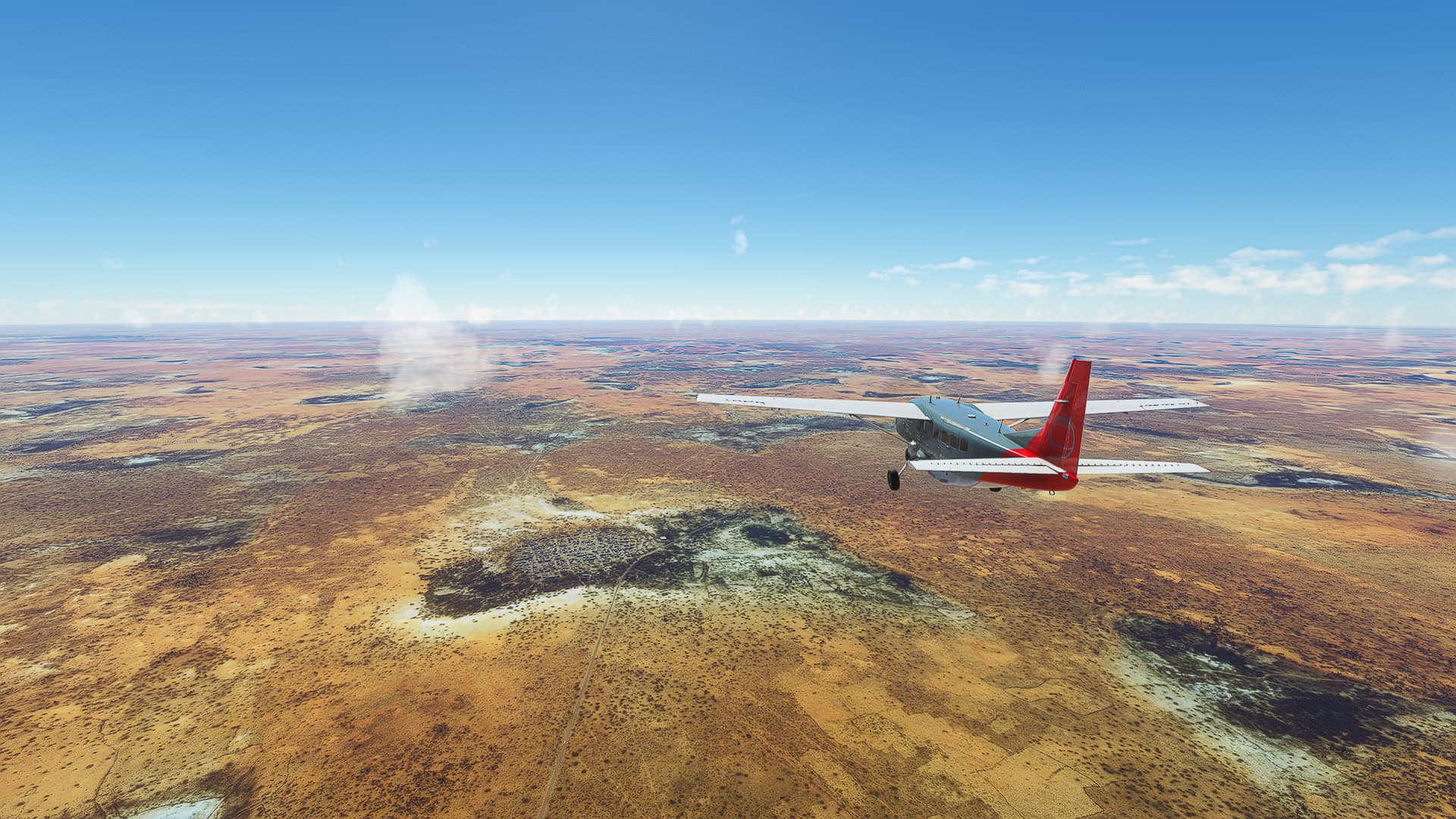
When approaching I didn’t feel like Gubio would be a special town that warranted a shot - but luckily I saw something funny when passing over it! Look at where I managed to position our GC: There is a perfect square in the northwestern part of the town where the avid aerial photographer can place themselves to not obscure the view with their plane! Very considerate of the local town planners!
Maiduguri (DNMA) - Salak (FKKL).
Nigeria & Cameroon.
Flight No. 033.
Roads Used: Highway A4-7 (Maiduguri - Banki), Departmental Road 9 (Banki - Limani), Unnamed Road (Limani - Magdémé) & National Highway N1 (Magdémé - Salak).
-
Both of our pictures were taken after crossing the border to Cameroon: This first one happened when I was following N1 southwards and came across the first hills / small mountains since leaving Algeria so I obviously had to take a photo! Location is just a bit south of Seradounda.
-
After I’ve already taken a picture of another river crossing (which didn’t make me happy so I deleted it) I found a place with the right vibes - the Mayo ranéo between Doulek and Markaba. The highway meandering through the hills, vegetation around the river, a nice shade of blue in the sky, I like it!
Salak (FKKL) - Garoua (FKKR).
Cameroon.
Flight No. 034.
Roads Used: National Highway N1 (Salak - Garoua).
-
We finally made it to the forests of Central Africa! As I turned away from the Chadian border I was greeted by this beautiful sight: The town of Figuil on the Mayo Kola River as well as multiple small mountain ranges beyond it.
-
But my joy about the lush greenery was too early - soon I was back in the yellowish savanna we already knew from our prior flights. But even then I got a nice shot of the mountains north of Garoua out of it! I took it at the beginning of my descent to the Aeroport International de Garoua near Pitoa and like it quite well.
Garoua (FKKR) - N’Gaoundere (FKKN).
Cameroon.
Flight No. 035.
Roads Used: National Highway N1 (Garoua - N’Gaoundere).
-
I already knew the last part of today’s first trip due to flying it during my WT attempt last year in a C172 G1000. So I also knew I would finally leave the savanna behind and enter the rain forests of Central Cameroon! But my first shot was a reminder of our previous adventures, a last glimpse of the savanna near Sanguere ndere with the sun shining down upon a chain of hills near the village.
-
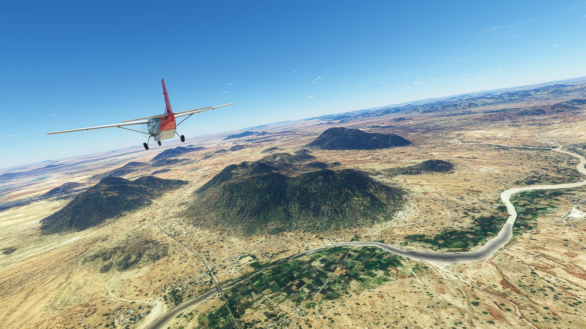
As promised we entered the rain forests - or more specifically the Parc national de la Bénoué - after about a third of the flight. In this picture I just crossed the Mayo Salo River near Mayo Salah and followed N1 along the southern border of the northernmost part of the Bénoué National Park.
-
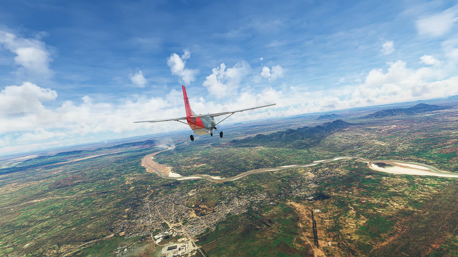
The last half of the flight consisted of me constantly increasing altitude until I reached about 6500ft to enter the highlands on which N’Gaoundere is situated. This third shot was taken just as I was about to finish the last climb near Karna Manga with Mazélé River to our left, flowing down from the mountains to enter Bénoué River right behind us.
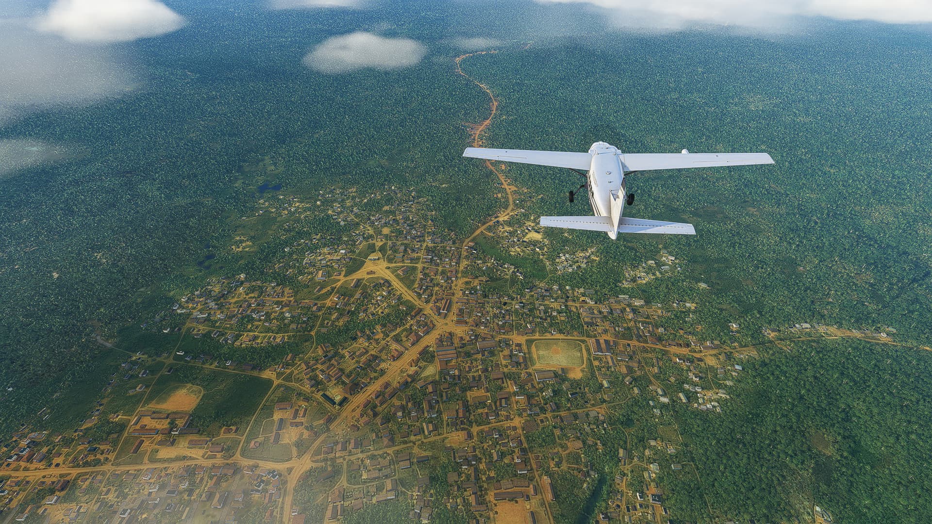
N’Gaoundere (FKKN) - Batouri (FKKI).
Cameroon.
Flight No. 036.
Roads Used: National Highway N1 (N’Gaoundere - Badzéré), Provincial Road P5 (Badzéré - Batouri).
-
This was perhaps the longest backwater flight I’ve ever done - had to take an immense detour to the east to find a road through Central Cameroon that didn’t push me westwards to the coast and into the stormy weather of rain season. This first shot was taken on my initial push east above Meiganga.
-
The city below is the easternmost point of today’s trip - Garoua-Boulai on the border with the Central African Republic. Here we turned south and then southeast before leaving the Highway for a Provincial Road to Batouri.
Batouri (FKKI) - Masea (FKYK).
Camerooon.
Flight No. 037.
Roads Used: National Highway N10 (Batouri - Kentzou), Departmental Road D26 (Kentzou - Yola) & Provincial Road P4 (Yola - Masea).
-
This is one of my earliest take-off when it comes to time of day: At around 7am CEST I got this beautiful shot above Batouri when climbing to my cruise altitude of 4500ft. Notice the small rainbow to the right!
-
In this picture the landscape is more of an afterthought - the lighting was so great I just had to take this one, regardless of the lack of recognizable or striking features on the ground. Below me is Belita I with the N10 meandering towards Kentzou.
-
During the second half of this flight I barely saw the ground below me - it was so foggy / cloudy that this view above Yokadouma and the Bangué River was a nice change for me!