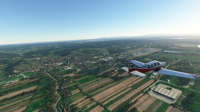
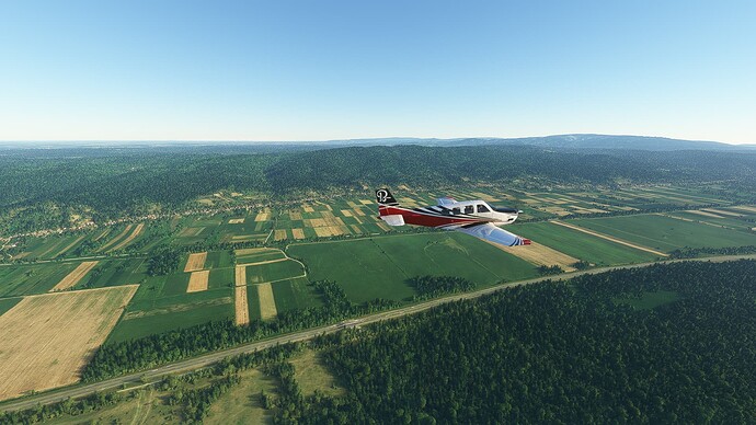
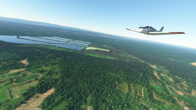
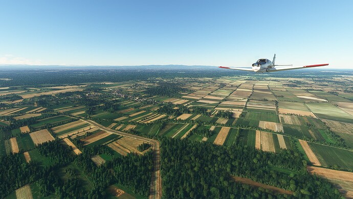
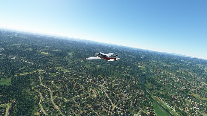
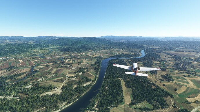
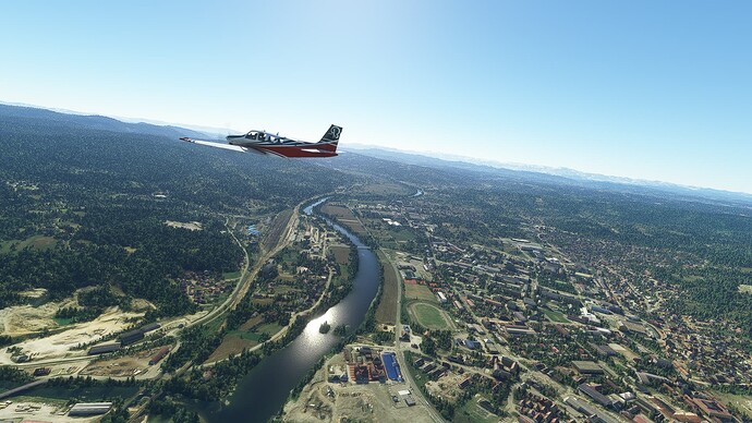
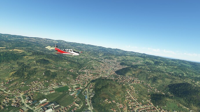
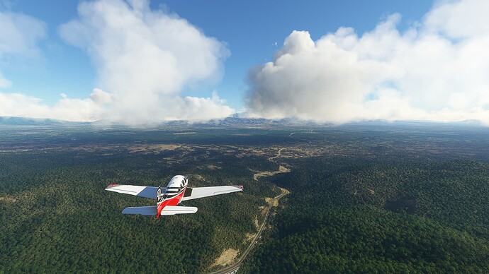
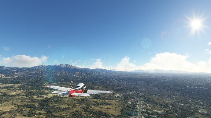
Since my SteppingBorders project in Canada is going well (we reached the border between Manitoba and Nunavut at the moment of this post) but the long and mostly AP driven flights aren’t fit for every day I’ve decided to casually fly my Beechcraft Bonanza G36 in between whenever I feel like it. Most of the people who know my threads (yes, I know - already three WT attempts that went sideways due to my … perfectionism) know also that I love documenting my trips and that I need this kind of journalling to make it feel right.
So here it is - another attempt, this time without any rules, without any time schedule, without strict flight plans and without anything to throw me off while flying and writing to my heart’s content. I’ll use my G36, let my gut feeling decide my route and try to find some little untold stories about the places I take pictures of.
This isn’t an organized thing - it’s just a flight journal for everyone interested in reading it. I hope we all enjoy it.
Table of Contents:
#001 Wolfsberg (Austria) - Busevec (Croatia)
#002 Busevec - Jelas (Croatia)
#003 Jelas (Croatia) - Ponikve (Serbia)
#004 Ponikve (Serbia) - Pristina (Kosovo)
#005 Pristina (Kosovo) - Negotino (North Macedonia)
#006 Negotino (North Macedonia) - Serres (Greece)
2 Likes
Flight #001: Wolfsberg (Austria) - Busevec (Croatia).
Departure: Flugplatz Wolfsberg (LOKW).
Arrival: Busevec (LDZB).
-
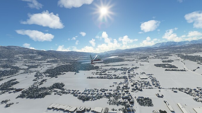
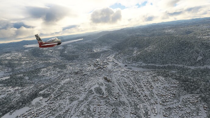
Wolfsberg (“Mountain of the Wolves”) in the Austrian state of Steiermark. Founded as a southern enclave of the Bishopric of Bamberg it quickly became an important fortification against Hungarian and Ottoman raids in Austria.
-
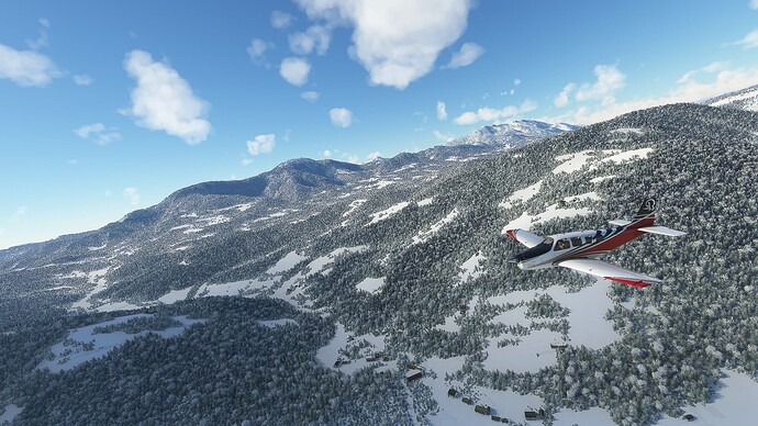
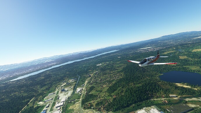
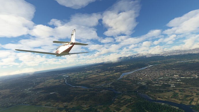
Alpine scenery on the western rim of the Lavant Valley.
-
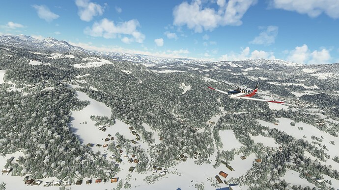
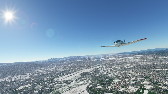
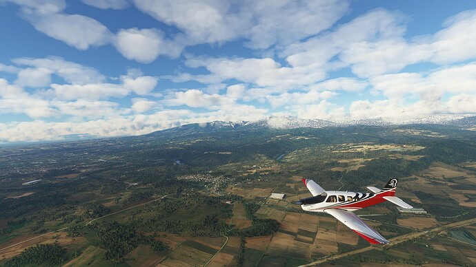
Looking back towards Mislinja (Slovenia) after turning south near the Turjak Mountain.
-
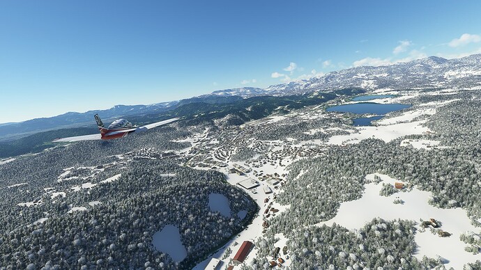
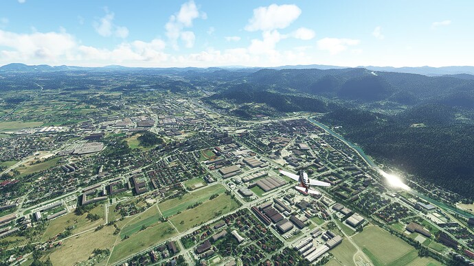
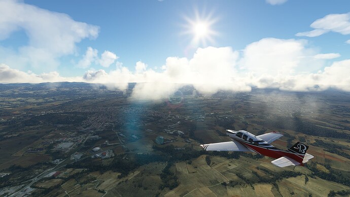
Velenje (center) with Velenjsko jezero (“Lake of Velenje”). It was a rural community and trade center before being turned into a modern industrial city after World War 2.
-
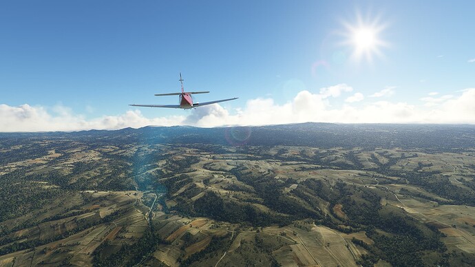
The City of Celje. Founded in the 4th century BCE as Kelia it was a part of the old Celtic Kingdom of Noricum before it was incorporated into the Roman Empire during Emperor Claudius’ reign.
-
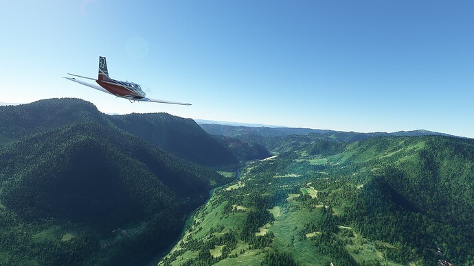
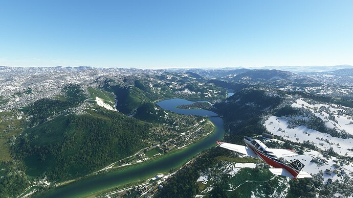
Flying through the Savinja Alps along Savinja River. It had a working raft service until the 1950s which was the only means of transport during earlier times.
-
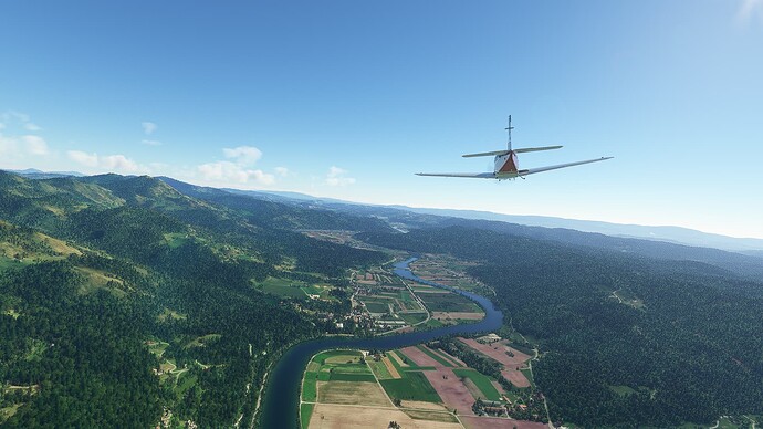
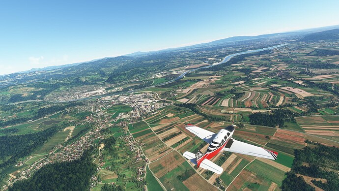
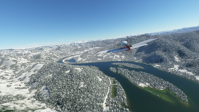
Rounding Planina Mountain and following the Savinja to the east.
-
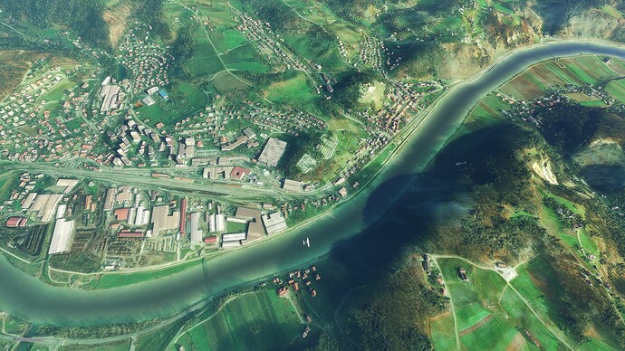
Sevnica on the Savinja from above: The city itself became a major center for the Slovene national revival movement during the 19th century.
-
The Save River parting Krsko (north of the river) and Leskovec pri Krskem (southern of the river).
-
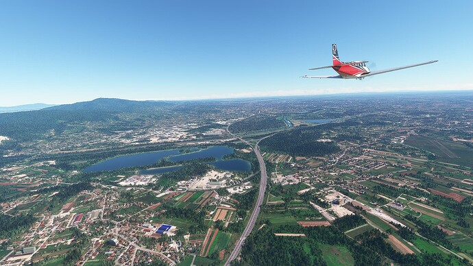
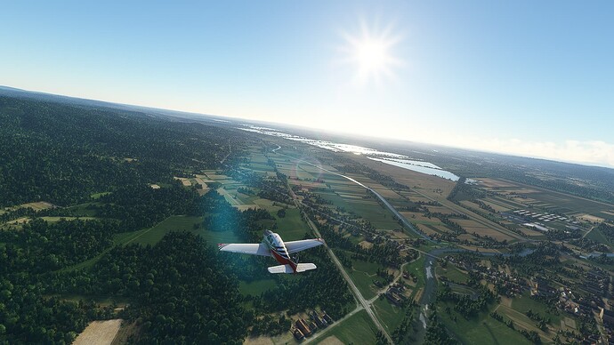
The lakes Finzula (left), Jus (closer), Nadolez (further away) and Votok (right) near Sveta Nedelja / Croatia.
-
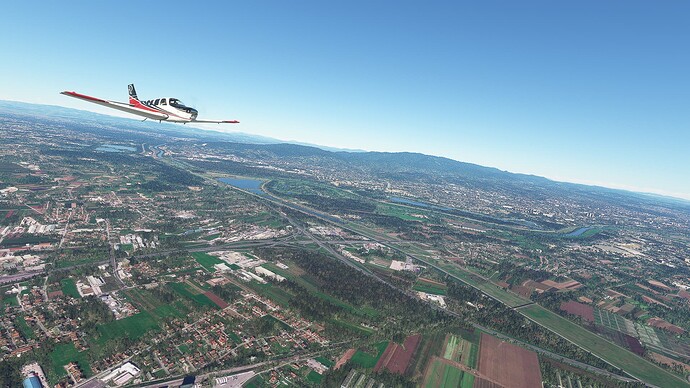
The Croatian capital of Zagreb with the Save River in front of it.
Flight #002: Busevec - Jelas (Croatia).
Departure: Busevec (LDZB)
Arrival: Jelas (LDOR)
-
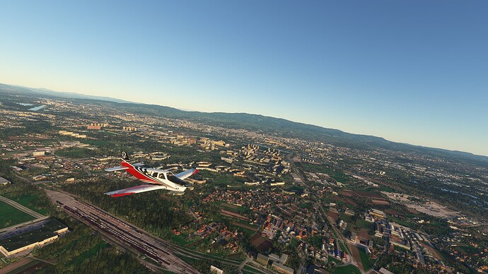
Taking another look at the capital Zagreb near Buzin before joining the highway A3 in an eastward direction.
-
Small villages on the southeastern outskirts of Zagreb with the Trstenik, Siromaja and Abesinija ponds behind them.
-
The Town of Ivanič-Grad from above: Formerly known as Iwanych it served as a border town between the Austro-Hungarian Empire and the Ottomans until both empires disbanded in the 20th century.
-
The village of Velika Ludika on the southeastern side of Vidrenjski brijeg (“Hill of Vidrenjak”).
-
Following a rural road through the fields near Donja Gračenica.
-
Kutina, the largest town in the Moslavina micro region: It is known for it’s active youth scene and several alternative clubs.
-
Flying along the highway A3 with a string of small villages at the foot of the hills in the background.
-
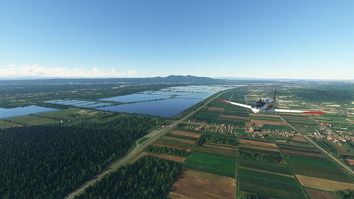
The Ribnjak Sloboština (“Fish Pond of Sloboština”) near Okučani.
-
Some cross-country flying south of highway A3 near the village of Vrbje. The next larger town is Nova Gradiška to the northwest across the A3.
-
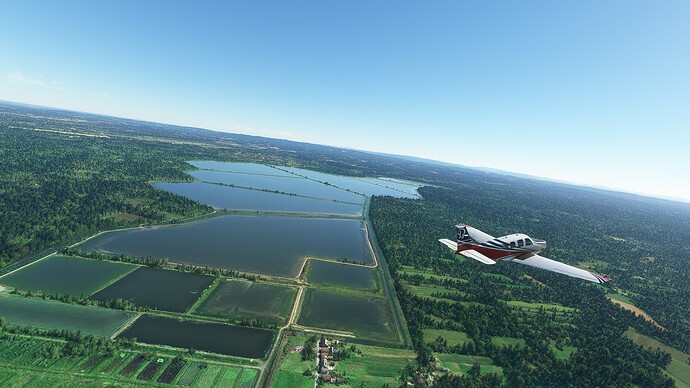
The Ribniaci Jasinje (“Fish Ponds of Jasinje”) near the town of Oriovac.
-
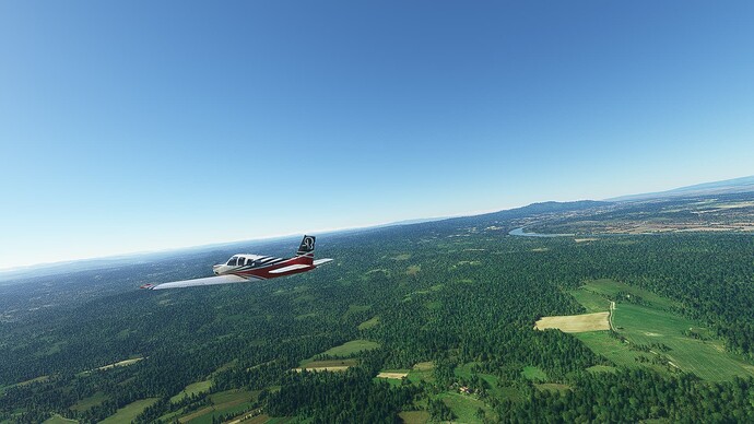
Another shot of the Ribniaci Jasinje, now behind us, taken above Brodski Stupnik.
Flight #003: Jelas (Croatia) - Ponikve (Serbia).
Departure: Jelas (LDOR).
Arrival: Ponikve (LYUZ).
-
The Ribnjak Sljekovac (“Fish Ponds of Sljekovac”) south of Brod on the Bosnian side of the Sava River.
-
The Sava River (upstream) bending around Dubočac as seen from Gornja Barica in Bosnia.
-
The City of Derventa: During the Bosnian War it was heavily fought over by Croat, Bosnian and Serbian Paramilitary forces.
-
The River Bosna near Kladari.
-
The City of Doboj: It was founded as a Roman Legionary Camp after the Great Illyrian Revolt and developed into a medieval trade and fortress city.
-
Gračanica north of the Spreča River within the Trebava Mountains.
-
The Bosanska Poljana suburbs of Tuzla with the Modračko jezero (“Lake of Modrač”).
-
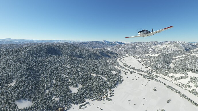
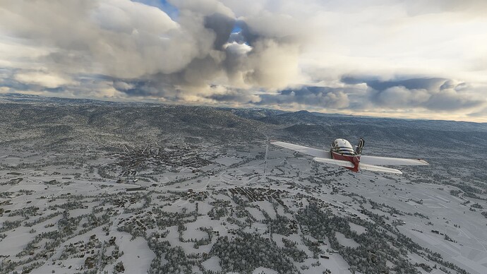
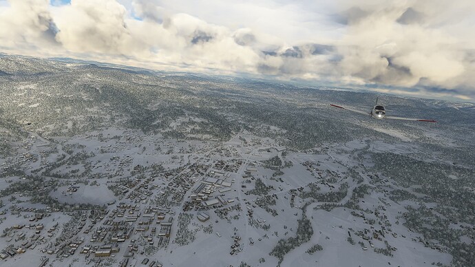
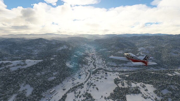
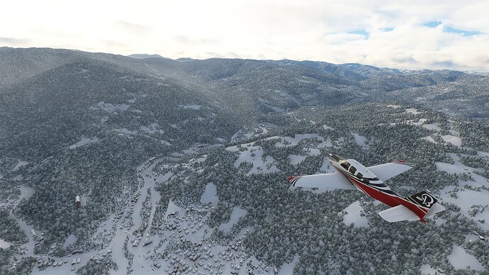
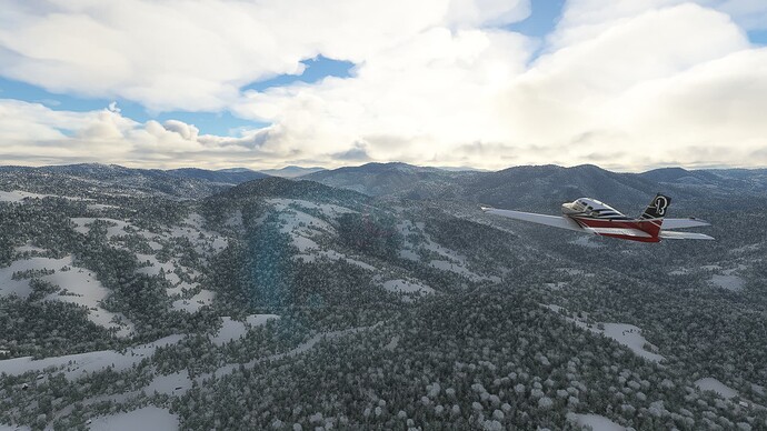
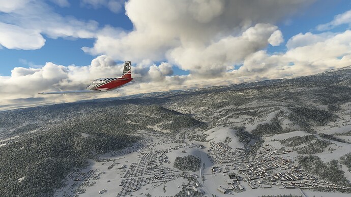
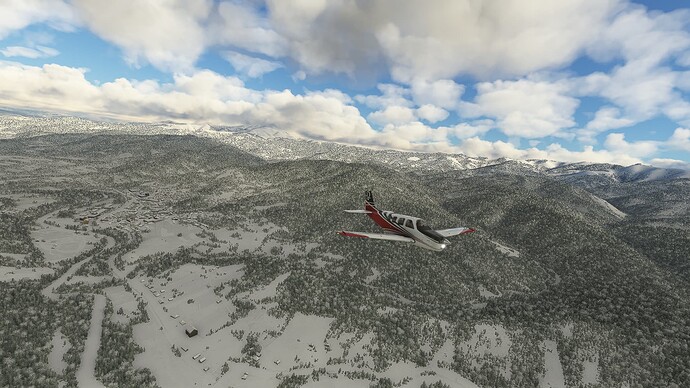
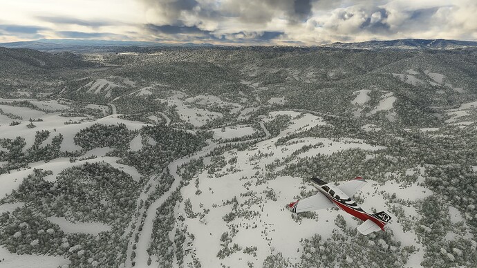
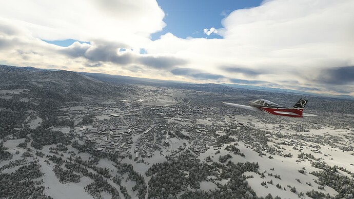
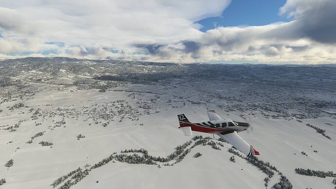
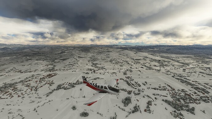
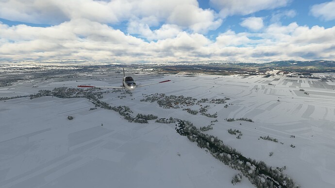
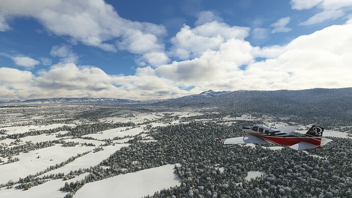
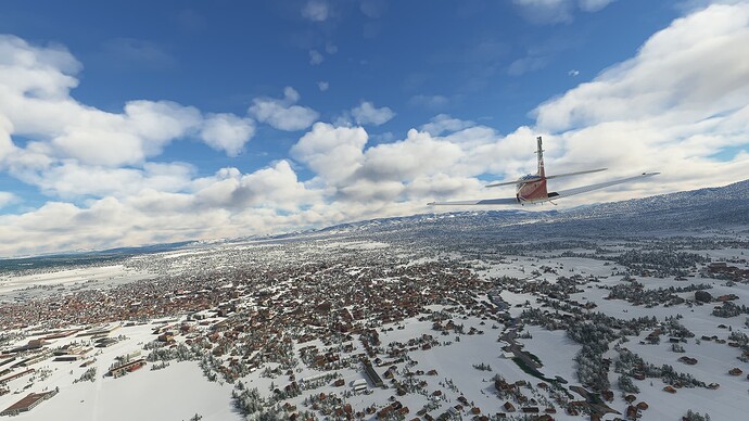
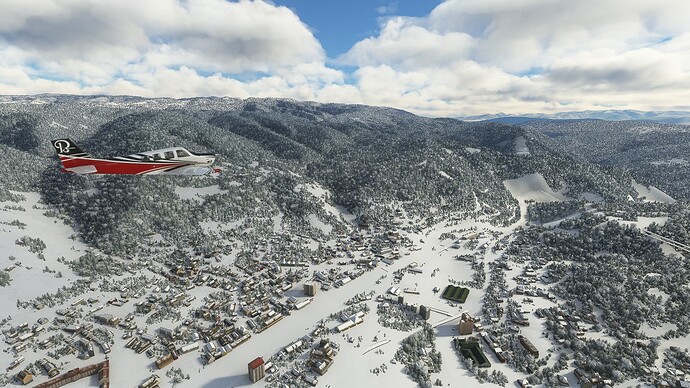
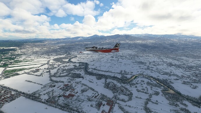
Snowy landscape near Kalesija in the Spreča Valley.
-
Zvornic (not seen, on the right side of the river) and Mali Zvornik (left) in the Drina River, which doubles here as the Bosnian-Serbian border.
-
Several islands in the Drina River near Sopotnik.
-
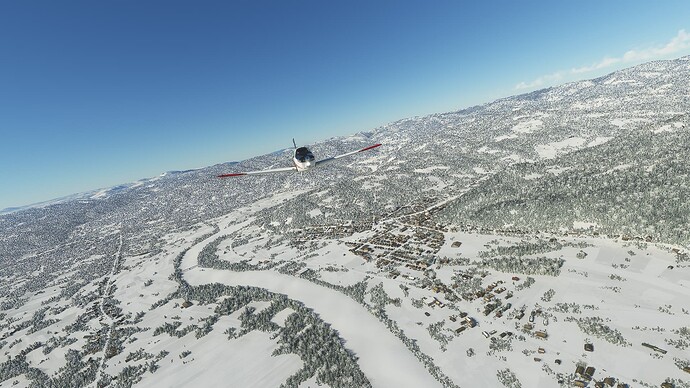
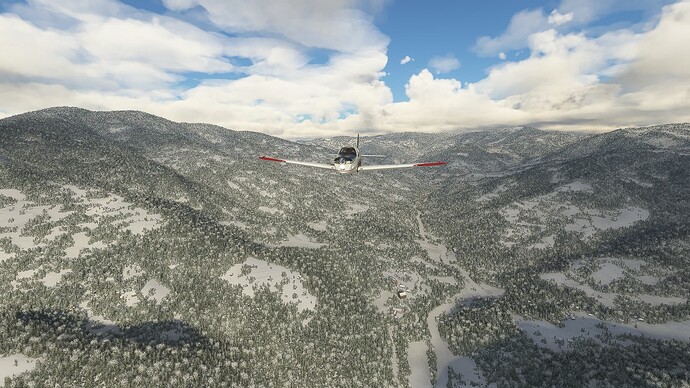
The Drina, now frozen over, near Vitkoviči.
-
Ljubovija on the Drina: Annual boat races take place here with about 20,000 visitors from all across the country.
-
Rogačica on another riverbend of the Drina.
-
Approach to the airfield of Ponikve after turning west.
Flight #004: Ponikve (Serbia) - Pristina (Kosovo).
Departure: Ponikve (LYUZ).
Arrival: Pristina (BKPR).
-
The City of Užice with the Zlatibor Mountains to the right. Užice was occupied by German troops during World War 2, but became quickly a center of Yugoslav partisan activity, culminating in the short-lived Republic of Užice.
-
The Town of Požega northeast of Užice: It is known for it’s production of quality Šljivovica and Juniper Šljivovica.
-
Arilje in the valley of the Moravica River with the Pogled Mountain to the left.
-
Dubrava further south on the Moravica River.
-
The Town of Ivanjica, which is the largest producer of raspberries in the entire country.
-
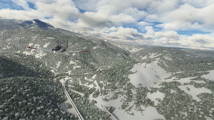
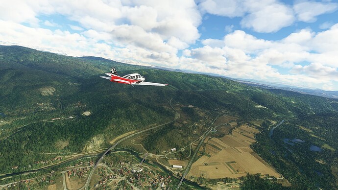
Following the State Road 30 from Ivanjica to Ušće. This shot was taken near Dobri Do after passing Kozija Glava Mountain.
-
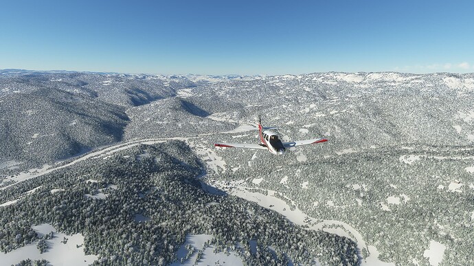
The frozen-over Studenica River near Dolac.
-
The Town of Raska on Ibar River: It is build upon the ruins of Stari Ras, once capital of the Duchy of Rascia.
-
Following the Ibar River into Kosovo. Visible in the background is the Town of Leposavić on the right bank of the Ibar.
-
The Ibar Valley near Llozishtë.
-
The City of Mitrovicë, one of the oldest known settlements in Kosovo, was founded as a village near the Byzantine Fortress of Zveçani. It’s name, derived from the Greek name “Demetrius” is a reminder of its ancient origin.
-
Vushtrri on the legendary Fusha e Kosovës / Kosovo polje, where the Ottoman Empire clashed with an army from Serbia and Bosnia during the Battle of Kosovo (1389).
-
Rural landscape on the Fusha e Kosovës near the capital Pristina.
Flight #005: Pristina (Kosovo) - Negotino (North Macedonia).
Departure: Pristina (BKPR).
Arrival: Negotino (LW72).
-
The southern part of the Fusha e Kosovës near Skullan.
-
Turning east near the town of Shtime and flying along the southern border of the Fusha e Kosovës.
-
The City of Ferizaj in southern Kosovo. The Nerodimka River bifurcates at the western city limits, leading to two different river that even end up in completely different seas.
-
Following the Lepenac River through the Town of Kaçanik towards North Macedonia.
-
The Lepenac Valley near Pustenik.
-
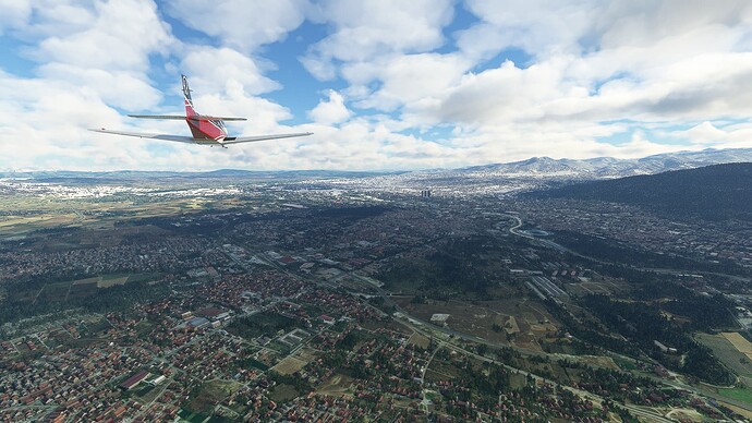
Skopje, the capital of North Macedonia as seen from the northwestern district of Visbegovo.
-
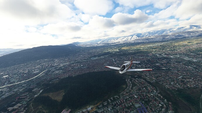
Skopje as seen from the northeastern district of Zhelezara with the Park Gazi Baba to our left.
-
The Vardar River near Dolno Lisiche to the southwest of Skopje.
-
The Europa Route 75 splitting in two near the Village of Katlanovo before rejoining eachother near Veles.
-
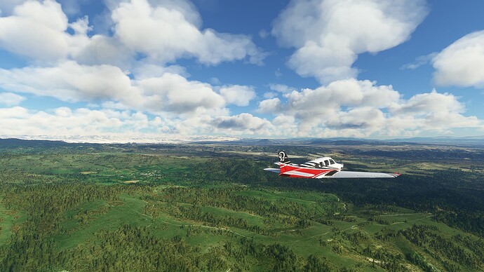
Landscape near Letevci with the village of Rudnik in the left background.
-
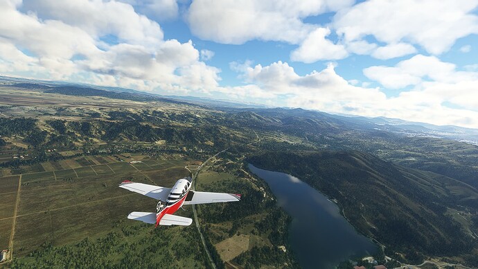
Mladost Lake near Otovitsa.
-
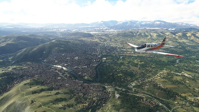
The City of Veles is one of North Macedonia’s industrial and IT centers with a history dating back to the Paeonians of Classical Antiquity.
-
Bregalnitsa River (below) joining Vardar River (right) near Vinichani.
-
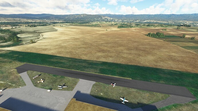
The extremely short airstrip in Negotino. It was quite the shock since I forgot to look up its runway length and thought the field beside it was the actual airfield.
1 Like
Flight #006: Negotino (North Macedonia) - Serres (Greece).
Departure: Negotino (LW72).
Arrival: Serres Airfield (LGNE).
-
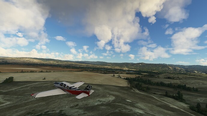
Taking off in Negotino with the Konečka Mountains in the background.
-
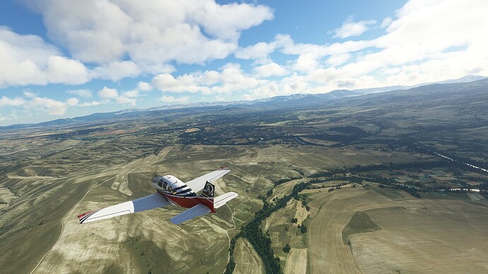
Flying along the Vardar River towards Demir Kapija. This town contains one of the three discovered Paeonian ruins in North Macedonia.
-
Following the Vardar through the southern part of the Gradeška Mountains east of Demir Kapija.
-
A wider part of the Vardar Valley near Valandovo: This part of the valley is home to the ruins of Amphacsitida, a Macedonian city from Classic Antiquity.
-
Looking back towards to Plauš Mountains near Gevgelija.
-
The Town of Gevgelija on the border with Greece.
-
Rural landscape near Peukodasos. This region was once the political center of the Paeonian Kingdom.
-
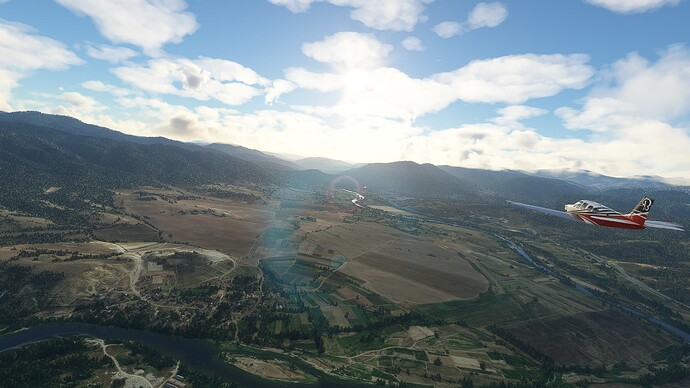
The City of Kilkis in the Greek region of Macedonia. It was completely destroyed during the Battle of Kilkis-Lahanas in the Second Balkan War, one of the costliest confrontations between Greece and Bulgaria with 8,652 casualties on the Greek side and 7,000 on the Bulgarian side.
-
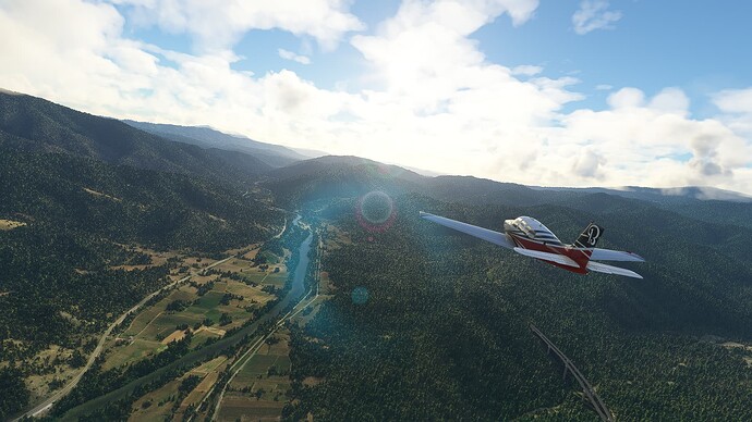
Mountaineous terrain east of Kilkis.
-
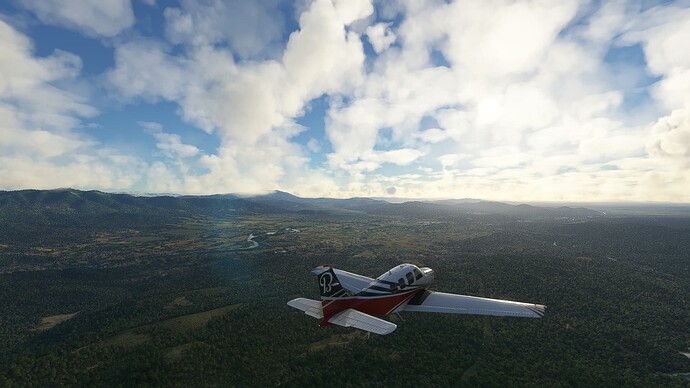
View into the lowlands around Serres after crossing a mountain range near Pizana.
-
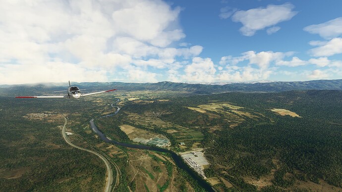
The City of Serres, which was founded as a Phrygian settlement during the 2nd millenium BCE to control an ancient trade road from the Strymonian Gulf to the Danube.
Note:
I will be on vacation for a week and therefore unable to post. I’ll continue afterwards.
