I have a issue navigraph airport vs fs2020 airport aren’t not the same, taxiway, parking spot and gates.
Someone have a explaination?
The BGL file is the same BGL file which defines the airport characteristics. This is consistent unless you’re overriding the BGL by using custom scenery.
The only differences when using the NAVData providers (Navblue/stock sim vs. Navigraph) is the availability of approaches, SIDs/STARs.
2 Likes
casualclick, where i take the info for airports fit to th fs2020. you like to know more than me about it?
Navigraph is based on up-to-date airport information. MSFS airports are not necessarily up to date and may well be inaccurate. Payware airports are typically more accurate, but not always. That is just the way it is with flight simulation software; you can’t expect MSFS to always match Navigraph’s airport information charts.
For navigating on the ground while using default ATC the real world charts are pretty useless. Because of the reasons mentioned above.
When you use vatsim they help a lot though.
1 Like
Thank you every one for answer. I like to follow accurate instruction to taxi on airport to the gates.
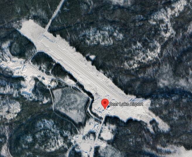
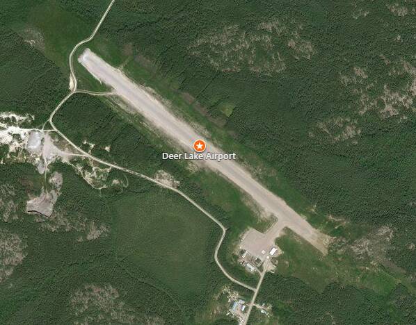
Sunshine Coast airport YBSU is completely ■■■■■■ haha. I noticed Navigraph and what is in the sim are not in agreement. Looked up the airport on Wikipedia and sure enough:
As part of the construction of a new NW-SE runway (Runway 13/31), the former short General Aviation runway (12/30) was removed to enable construction of the new runway. On 14 June 2020, the new runway (13/31) was opened, while the airport’s 1797m north-south runway (18/36) was decommissioned, with its northern section removed and its southern section converted into a taxiway. The new runway is capable of handling long-haul wide-body jets.
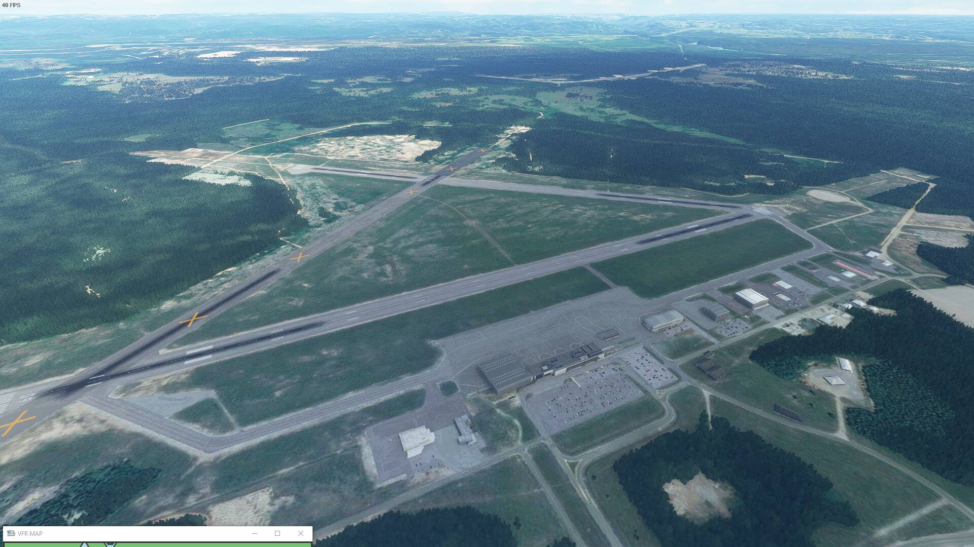
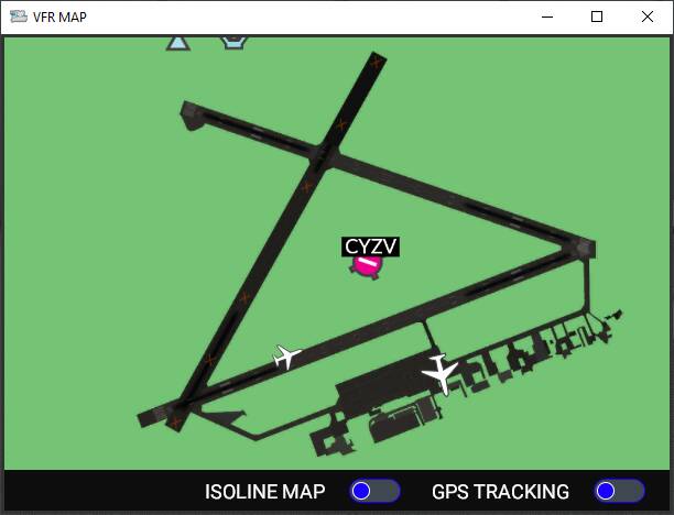
CYVZ is the same ####### i was been few time at this airport and they have 3 runway plus terminal and in fs2020 they have one runway in middle of nothing. It a regional airport with a many comercial flight per day and they look like private farmer airport. When i land in airport for first time is a mess,… no good reference anywhere.
Are you confusing airports? Bing Maps, Google maps and Wikipedia all show a single runway at CYVZ
1 Like
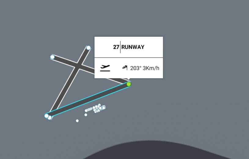
If the airport is a stock sim airport, Little Nav Map will read the layout of the field and show you exactly the same taxiways (ABC etc) and intersections that the stock sim Ground ATC will tell you to take to get to your assigned parking spot or gate.
Jepp charts add to the realism but they don’t correspond to what the BGL file in the sim is defining as taxiways and layouts for a given airport. That layout in many cases has absolutely no real world parallels.
The BGL file is not modified or touched by NavData. It is static and can only be overridden by scenery mods or add on airports.
The only impact NavData has is that it is expecting a BGL file that defines an airport to have corresponding runways to the AIRAC data. So if you have an airport that has incorrect runways (i.e., the magnetic headings don’t match what the NavData has for that airport) or non-existent runways, then you will not see the IAPs, SIDs or STARs for that airfield appear in either flight planning or selectable in-cockpit using Procedures.
There is a list of over 2300 incorrectly built or laid out airports in the sim that Navigraph has compiled. All those fields need to be corrected manually in order for them to correspond to the AIRAC data and thereby be navigable using Procedures.
That’s why NavData has nothing to do with airport layout or being able to steer to the right spot or gate once you arrive.
1 Like
to tuskin38 i did miswrote the code the real code is CYZV, sorry my mistake, now you could see the difference.
I believe he meant discrepancy between default MSFS airport layout/twys vs Navigraph airport charts , not suggesting Navigraph changes/fixes airports…?
Not clear from his post or title. it might indeed be that. But as already stated, Jepp Charts from Navigraph do not match stock airport layouts in terms of taxiway names. Use Little Nav Map to see what the layout looks like from a sim label view.
I’m seeing 3 runways in the sim, with and without Navigraph. Maybe I’m confused as to what your issue is.
Why can’t microsoft just update Navigraph data once a month. OR: let us do it.
Because Navigraph is a separate company, not at all affiliated with MS-Asobo.
Do you mean Navblue - the official partner for the sim’s NavData? They are keeping up with the AIRAC cycles competitively now - pretty much they are aligned with Navigraph as a competitor - when one updates, the other does also within a day or two, at least for the last few cycles.
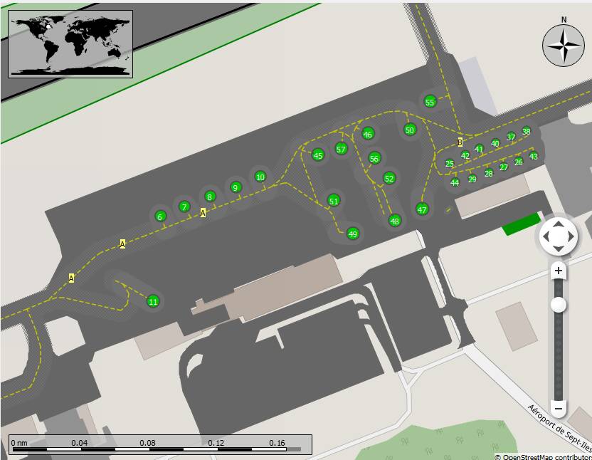
As for the airport layout - see this graphic. Little Nav Map shows you taxiways A & B which correspond to what the sim’s stock ATC Ground Channel will refer you to (if the field is controlled as such). According to the COM tab in LNM, there is no Ground frequency at this airfield, so there would be no instructions coming to you over the radio anyway.
Yup, Jepp / Navigraph matches the real world, MSFS doesn’t.
The BIG problem is that Asobo for some reason decided to give taxiways completely different letters (Usually A/B/C and so on) instead of using the real ones.
At least they didn’t do that with the runway numbers, that would’ve been an even bigger mess.
Guessing it might’ve had something to do with procedural airport generation based on orthophotos instead of digital airport data vectors.
Little Nav Map is a superb workaround though!
1 Like
This is a mess, navigraph and msfs2020 do not match on anything, I did a nice flight plan from Newark to O’Hare and when i download to fs they chage my route star ref, almost any thing even the deparure route, SID and arrival route, i will ask navigraph a explaination about this.
MSFS2020 do a loosy jobs of airport configuration, i can’t follow the taxiway instruction because they give me a wrong position on taxiway i was, it is imposible to do a good final flight due to impossible airport configuration.