Forrest had been once of those destinations I had discovered purely by chance whilst plotting my route across South Australia. Before then I must admit that it wasn’t even on my radar. Ceduna however was a place I had heard of. I didn’t know anything about it and would have been put on the spot if you’d had asked me to point it out on a map, but something in my mind new that it would be a suitable, if not rather quiet, place to stop over.
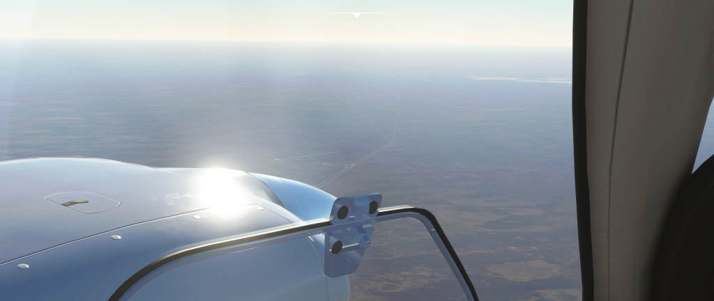
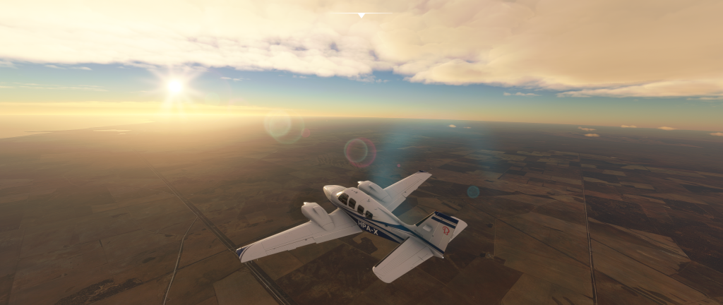
It was to be a 425 mile (685 km) journey between airfields with an estimated flight time of 3 hours 40 minutes. 9:30am local time (11pm UTC at my desk) I was firing up the engines and strapping in for the long flight. The sun was still climbing and so were the temperatures. Already at 15°c this early in the morning I wasn’t surprised to watch the temperatures rise to 22°c at midday and even 24°c that afternoon. I took off from runway 6, a mostly easterly direction, as the only slight air movement at all seemed to be coming from the east.
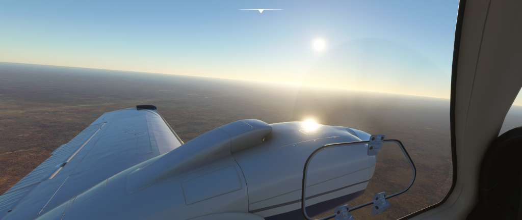
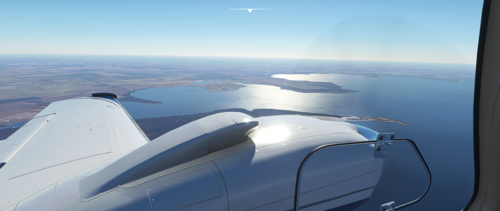
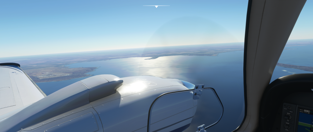
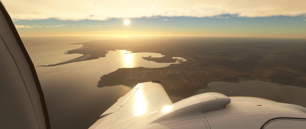
I was astounded at the vast, open and extremely flat terrain that stretched literally to the horizon in all directions. I couldn’t see a single hill, let alone mountain or cliff. I would have described the landscape as being flatter than the sea! Unbroken sun beating down on the surface certainly explained the dry and dusty nature of the land 6,000 ft below me. The sea itself was as equally tranquil in both movement and colour. Incidentally, the Sea of Tranquillity found on the surface of the moon was also visible in the sky behind me. As I cruised at 176kts looking out for any noticeable ground features at all to break up the endless brush, I saw a small settlement with an airstrip. Checking my maps, I learnt that this was Yalata; An Aboriginal community. The lands traditionally belonging to the Wirangu people, although in the 1800s Europeans settled and established a sheep station for up to 120,000 sheep! In the 1950s much of the surround areas were used by the British for nuclear testing and the Australian government for the Woomera Rocket Testing Range, displacing many inhabitants. These days the settlement is much smaller. A census in 2016 logged the population at 248.

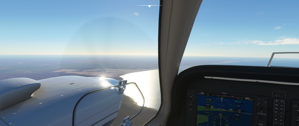
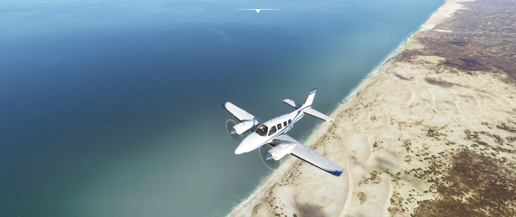
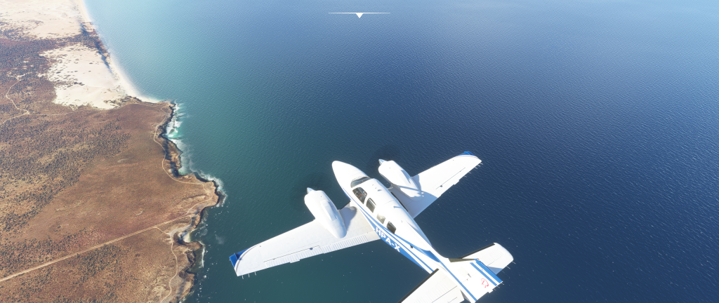
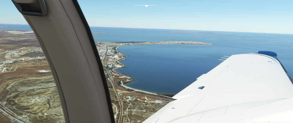
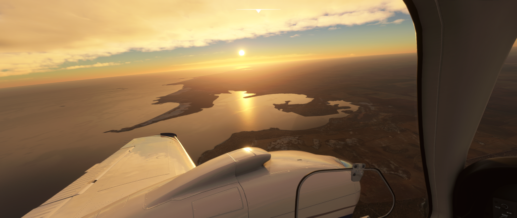
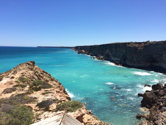
The Eyre Highway was the only other recognisable feature I could follow until I chose to drop to only 3,000 ft and follow the coastline for a chance for more humidity. Interesting formations made by sand dunes made for interesting scenery until I got much closer to Ceduna itself. The curving beaches, bays, as well as the Isles of St Peter made for a cosy feel with Ceduna nestled in nicely opposite Denial Bay. As I descended in preparation for landing I took a circuit to appreciate the surrounding territory of Ceduna with one final low pass over the town before wheels met tarmac once again.
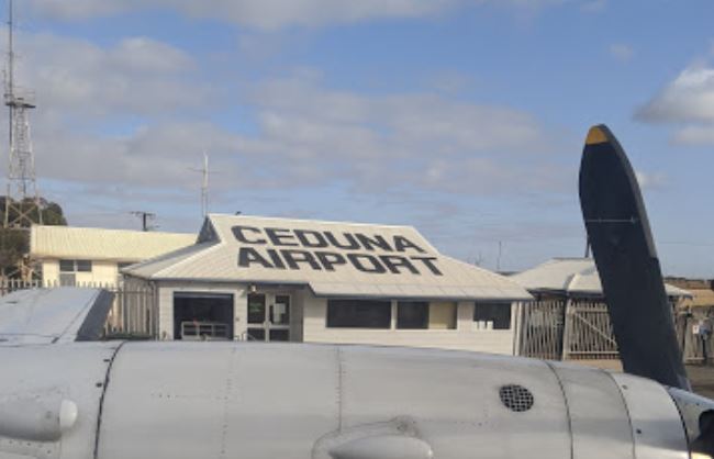
According to Wikipedia the name Ceduna comes from a the Aboriginal Wirangu word “Chedoona” which is used to describe a place to sit down and rest. After such a lengthy flight I was keen to find a Chedoona myself.
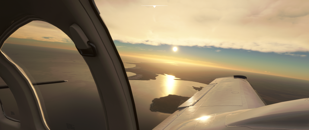
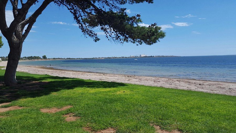
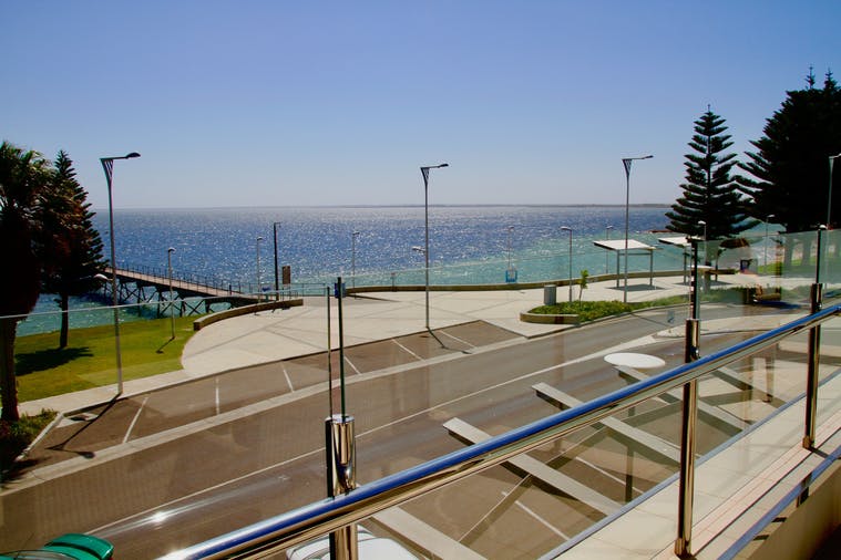
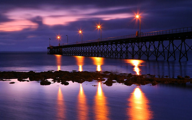
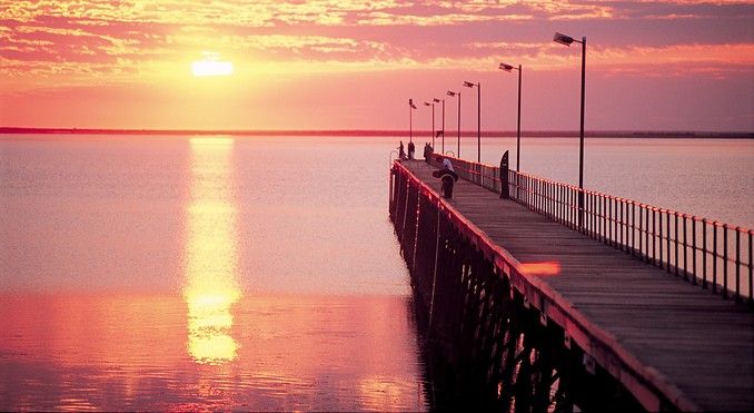
Upon waking the following morning I realised that the sun would only just be going down over Ceduna and that it would be a lovely opportunity to have a second look at this quaint coastal spot. The views did not disappoint.
Reading the name “Denial Bay” on the map I was immediately intrigued as to how this name was given. It turned out that the 1802 explorer Matthew Flinders was responsible for naming Denial Bay, Smokey Bay and the Nuyts Archipelago. Flinders had hoped to find a river outlet allowing him to explore further inland but with no such river he was “denied” this opportunity.
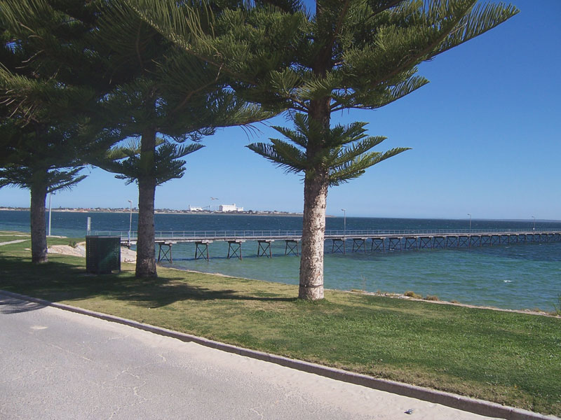
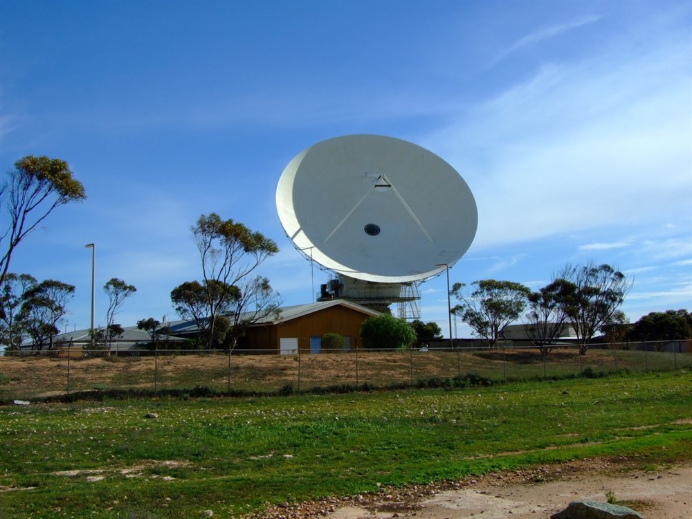
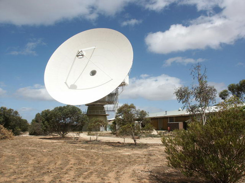
Ceduna has a history as both a prominent fishing town as well as a rail hub. A short walk along the shore will no doubt bring you to the 380 metre long Ceduna Jetty, built in 1902 and appears to be a main tourist attraction even now, although it was the large satellite telecommunications dish that caught my attention the most. In 1995 the 30 meter wide dish was acquired by the University of Tasmania for radio astronomy observations and was caught in the path of a total solar eclipse on 4th December 2002. Despite the weather being mostly cloudy that day, it has been stated that the sun and moon were both visible at the time of the eclipse. Maybe this was the reason why Ceduna had been lurking in a corner of my memory.
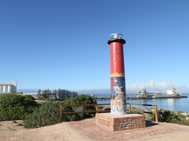
Total Solar Eclipse Ceduna 2002


Leave a comment