
This is the second post from the 2022 Flying to Alaska trip.
Day 4 : Monday, August 1, Minot to Rocky Mountain House
I started the day drawing lines on sectionals and planning possible destinations. We planned to clear Canadian Customs at Scobey Border Station (8U3). This is one of several airstrips co-located with a roadway customs station. The airstrip runs exactly along the US/Canadian border and simplifies border crossing by not flying across the border. Officially, we land in the US, clear Canadian customs and then depart from Canada. Arrival and departure are done using the same grass runway. Because we do not fly across the border, there is no international flight and no flight plan or flight following by ATC is required. Scobey was also a good distance from KMOT to allow for the 2 hr notice by phone call that is required.
I did the required online notifications required by the US and Canada. I’m still trying to figure out why I need permission from the US to depart the country by small airplane. No such permission is required to depart the country by car and the last time I checked the U.S. wasn’t yet like Russia.
After the quick, clean and convenient hotel shuttle ride to the airport we preflighted, oiled, gassed, debugged, loaded the plane and called Canadian customs to provide the 2 hr notice for a customs appointment. After about 35 minutes on hold, I finally get through and re-answer all the questions that had already been answered online. Then comes the part where we tell them what time we will be at the customs border station. The person on the other end wants to know the time in local time for the border station. She can’t accept GMT/Zulu time. She can’t accept 2 hrs and 15 minutes from “now”. She can’t tell me what timezone the border station is in. She can’t tell me what time it is now at the border station. So, I guess and we depart. I’m not sure why I’m required to know that person’s job better than they do.
During the flight, I recall seeing that the Canadian Flight Supplement (thick book of airport information and other stuff) listed the timezone for each airport. I reach into the back seat, grab the Flight Supplement and look up Scobey Border Station. I had the timezone correct, but they don’t use daylight savings time in that area. So, we were going to arrive about an hour before our appointment. Not good form. Using the Bluetooth connection between my phone and the aircraft headset, I call Canadian customs and select the option to either report arrival or update an arrival time. I was expecting that this would be a different queue. It wasn’t. I had another 35 minutes of worrying that we might arrive while still on hold. This time I reached a person who was much more helpful. We were able to confirm my mistake and update our arrival time.
After shutting down at the customs stop, a couple of officers came out to greet us and collect our documents. They were stereotypically friendly and welcoming Canadians and made the stop pleasant and efficient.
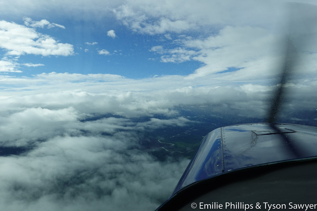
Now that we were officially in Canada, we departed and headed northwest with a planned destination of Airdrie (CEF4) and a stretch goal of Sundre (CFN7). The wishful thinking goal was Rocky Mountain House (CYRM). Once airborne, we found that we weren’t fighting the headwinds we had experienced for most of our west bound travel and decided that a non-stop run to CYRM could be done.
North of Calgary, I noted traffic on my display off our right wing. It was 10 or 20 miles off and about 300 ft below us. It was faster than us, but the tracking toward us. Periodic checks on the traffic showed closing, but still below us. After a while, the traffic started climbing closer to our altitude and still looking like it might be a close pass. When it appeared to have stopped climbing at the same altitude is us, I decided to climb to be above them. I leveled 500 feet above our previous cruise altitude and 500 ft above the other traffic. It wasn’t long until an Vans RV-10 passed directly below us and at the same altitude we had been at. I can’t say that it would have been a collision, but the pass would have been less than 100 ft from us and that is far, far too close. I saw no indication that the other aircraft ever noticed us.

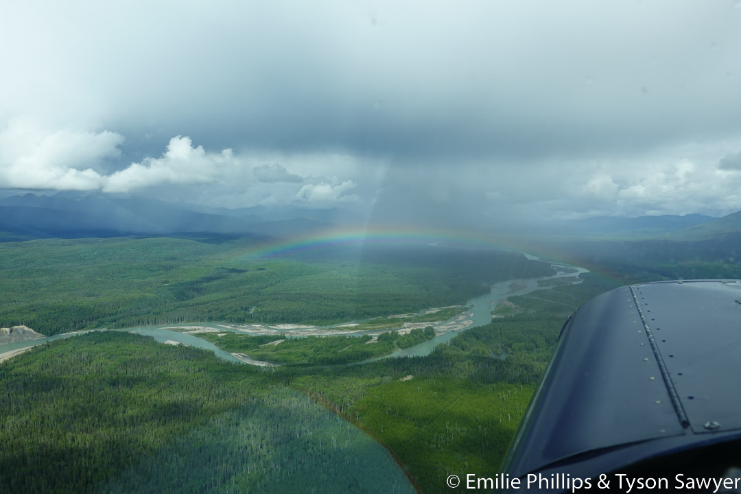
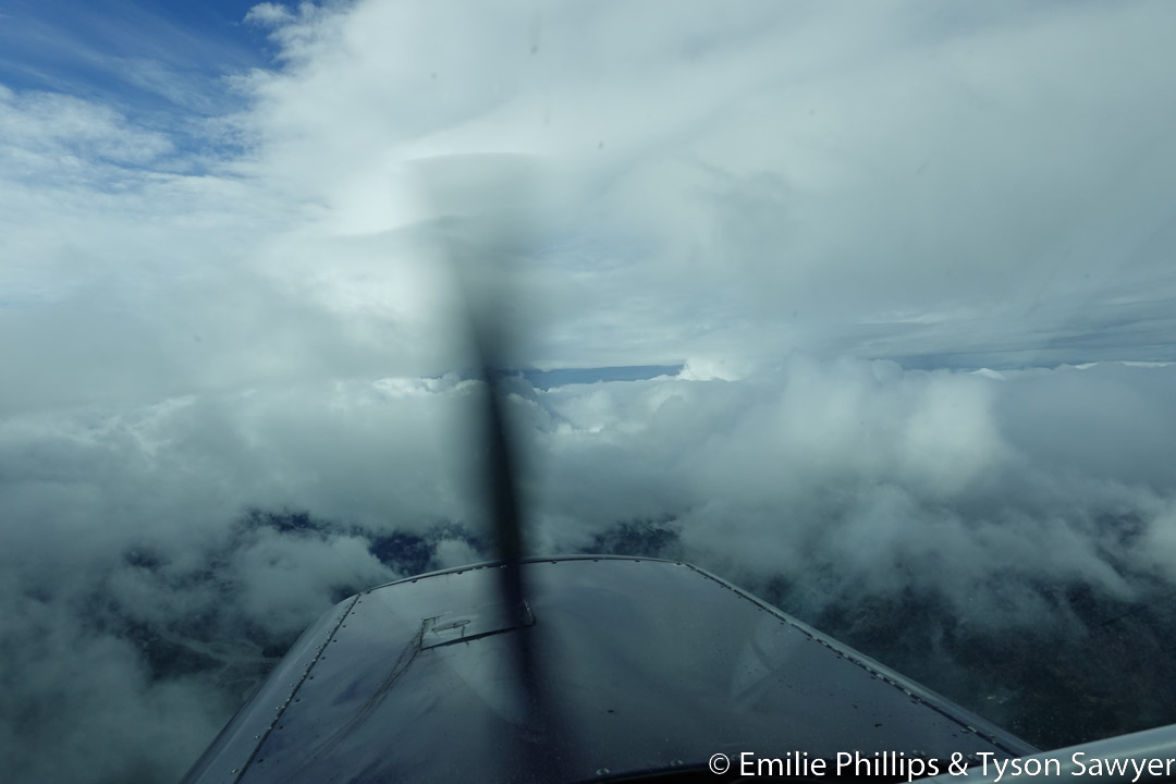
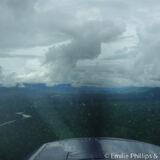
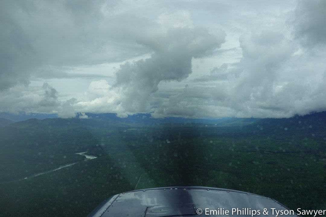
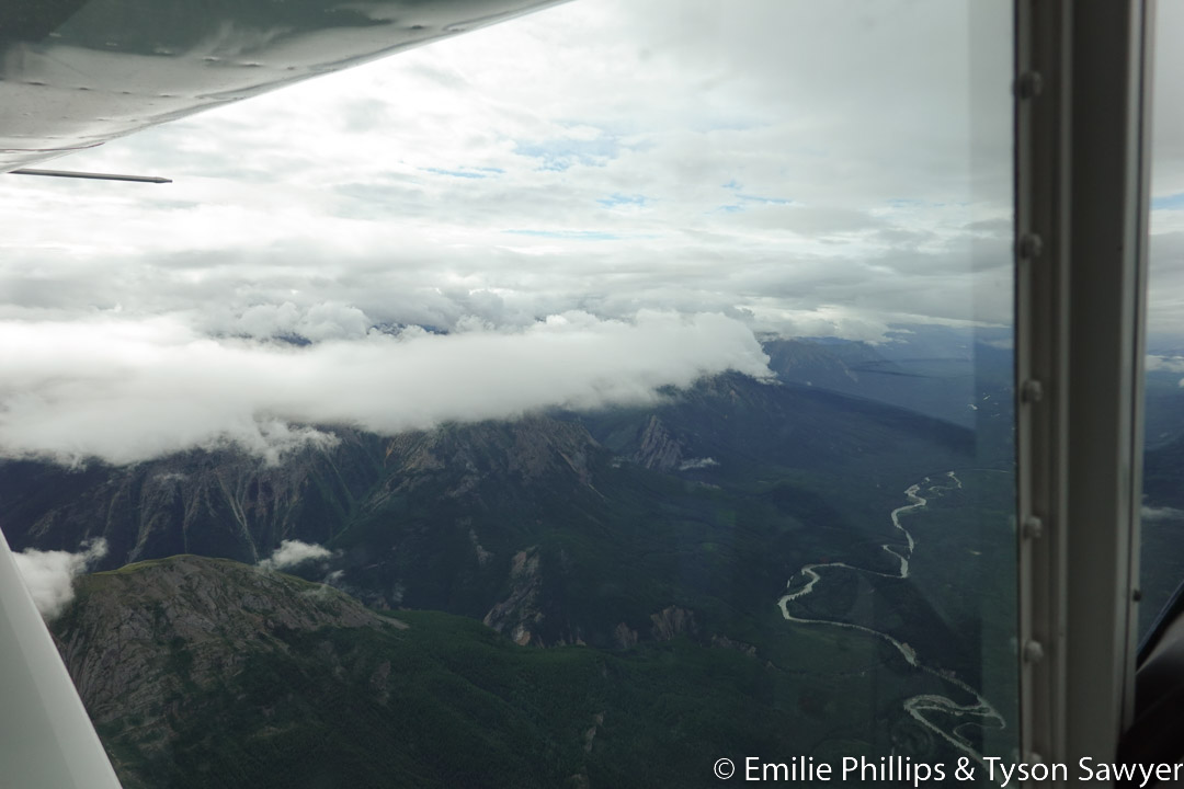
I often tune in local air traffic control (ATC) frequencies to provide some awareness of what is going on around me. On this trip I was also interested in listening to learn about how ATC communications in Canada differ from the US. One of ATC’s tasks, as workload allows, is to notify aircraft of other traffic that are near them to help everyone see and avoid each other. Not long after the RV-10 pass, I heard ATC call out traffic for an airplane and described that traffic as a “hail mitigation” flight. Hmmm… that’s curious. Was this related to the darkening clouds building ahead of us? As it became clear that we would be passing near a significant thunderstorm, a tornado warning popped up on my phone screen. “That’s ominous!”

Our route took us close, but south of the main storm and sunny weather prevailed as we arrived at CYRM. That didn’t ensure a dull arrival in the pattern. Neither did the radio calls made during our approach to the airport and entering the traffic pattern. Just as I was coming alongside the runway on the downwind leg, I suddenly notice a Sukhoi SU-26 doing vertical rolls off my left wing and passing through our altitude. I then noticed the markings on the ground for the aerobatic box right next to the runway. We were just outside the box. I think we had read the airport information about the aerobatic box, but in the long day of travel and probably also because I had not expected to reach CYRM, I had forgotten about it.
On the ground we met Miles and Jersey. Jersey was the pilot of the SU-26. The two of them were taking turns coaching each other on their aerobatic competition maneuvers. One would fly and the other would observe from the ground and critique over the radio. Jersey is reported to be one of the best aerobatic pilots in Canada and the two of them were working to organize a Canadian team to compete in the 2023 World Advanced Aerobatic Championships. The 2023 Championships will be held in Las Vegas, NV, making them far more accessible for a Canadian then the typical locations in the other hemisphere.

We tied down the airplane and headed into the flying club building to sort out how to get permission to take the car overnight (typically limited to a short trip to town and back) and the key.

While we were in the office, I received a text message from Miles saying that storms were headed our way and he was moving our plane into his hangar. I ran out to help and it wasn’t long until the wind was howling and the rain was coming down hard. Thank you Miles!

The restaurant at the hotel was recommended, but unexpectedly closed. Apparently, someone had died from a heat attack earlier in the day and the staff had been allowed to go home to gather their thoughts. We met Miles at another restaurant across the street for dinner.
- KMOT-8U3: 198 miles, 1:34 hr, 125 mph
- 8U3-CYRM: 504 miles, 4:00 hrs, 126 mph
All Day 4 Pictures
-

- Bridge -- Comments (0)

-
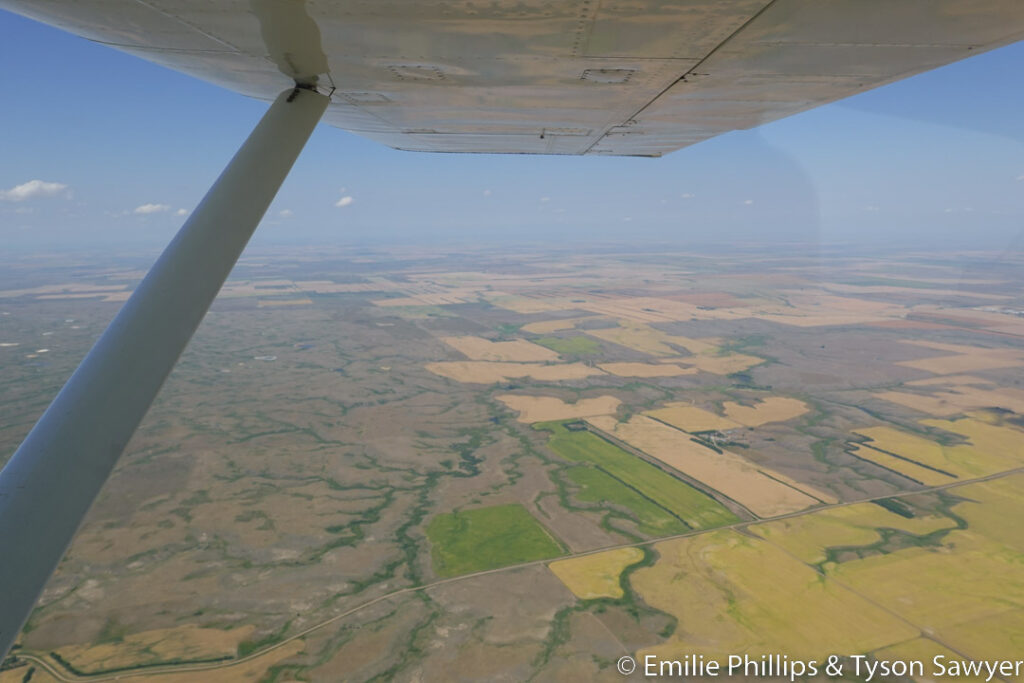
- Plains -- Comments (0)

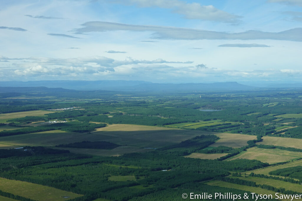
-

- More plains -- Comments (0)

-

- Tornado warning -- Comments (0)

-

- Bugs … and a thunderstorm -- Comments (0)

More ...
-

- Rainbow -- Comments (0)

-

- Thunderstorm we had flown by. -- Comments (0)
-

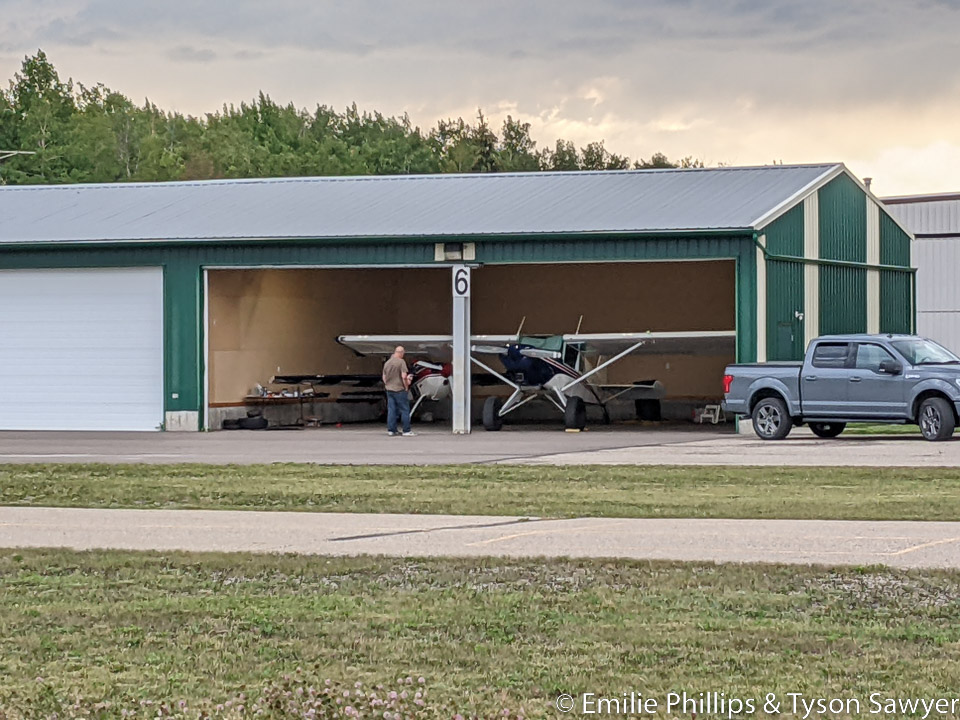
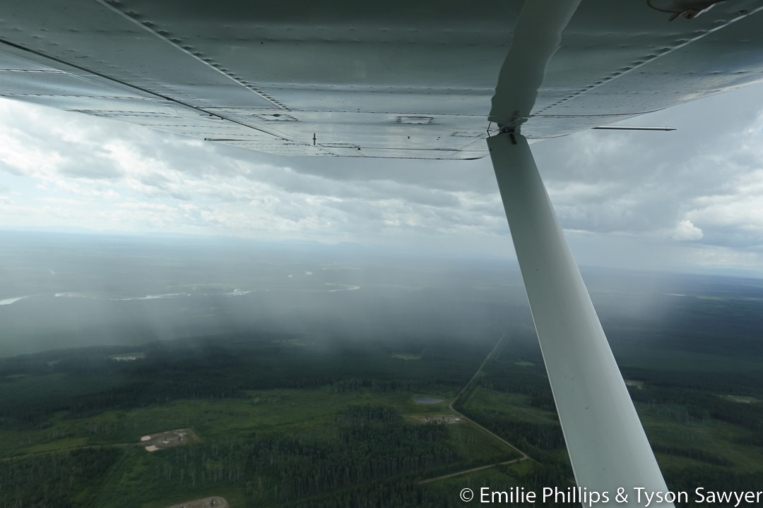
- Hangar at Rocky Mountain House -- Comments (0)
-

- Storm winds moving in -- Comments (0)
-

- Heavy rain -- Comments (0)
-

- Double rainbow -- Comments (0)
... Collapse
Day 5 : Tuesday, August 2, Dawson Creek

The previous day we had flown through a lot of bugs and some of them were very large. Our daily bug and windshield cleaning took a bit more effort than usual this morning.

The plan for the day was a stop for fuel at Dawson Creek (CYDQ), stay the night at Fort Nelsen (CYYE) and then reach Watson Lake (CYQH) the next day. After fueling at Dawson Creek, the weather north looked questionable. A couple who were about to depart in a Vans RV-10 recommended that Dawson Creek was a much better place to spend the night than Fort Nelson, and that a flight up The Trench would be a shorter route to Watson Lake and much more scenic. Since we had had enough with cities/towns without available lodging and transportation, and a flight up The Trench had been on our wish list, we opted to stop early and try the better route, with hopefully better weather the next day.
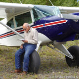
While working out where to tie down for the night, we met Mark and got a chance to gawk at a beautiful, blue, 3/4 scale, home built P-51 mustang. The Mustang had made an unplanned stop due to some sort of an issue with oil and ended up staying due to weather along his route. I swear that I took several pictures of the Mustang, but found none when we got home.

Mark helped us find where to tie down for the night. Then he helped us and the Mustang pilot find a hotel and gave all of us a ride to the hotel. It seemed that every airport we landed at in Canada resulted in making more friends.
CYRM-CYDQ: 319 miles, 2:52 hrs, 111 mph
All Day 5 Pictures
-
- Some bugs were large -- Comments (0)
-

- More showers -- Comments (0)
-

- Wolf Lake supposedly abandoned. -- Comments (0)


-

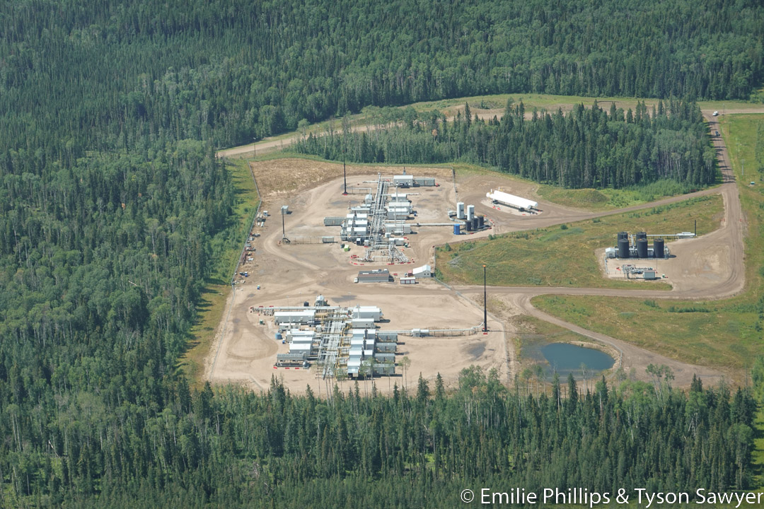
- Lots of oil drilling -- Comments (0)
More ...
-

- River and oil field -- Comments (0)

-

- Harvey finding ways to get out with stiff knees -- Comments (0)

-

- Tied down for the night at Dawson Creek -- Comments (0)
... Collapse
Day 6 : Wednesday, August 3, Discovery Yukon Lodge
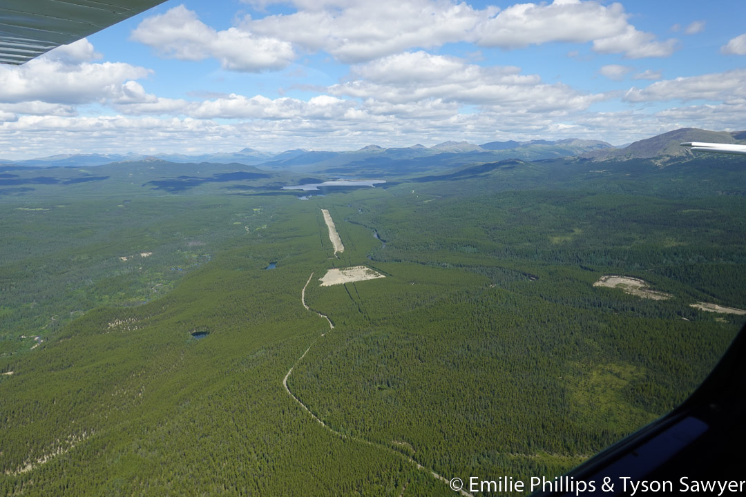
The weather in the morning looked good. The revised plan for this day was to fly a short distance north to a side arm of Willison Lake and take that valley west through the Canadian Rockies to the main body of the lake and The Trench. Then we would turn north to Watson Lake (CYQH). From what we had heard, The Trench is beautiful, but it can have weather that stops you for days with limited places to land. There is no fuel available on this route once we head into the arm of Williston Lake, so we added more before departing. More fuel means more options.
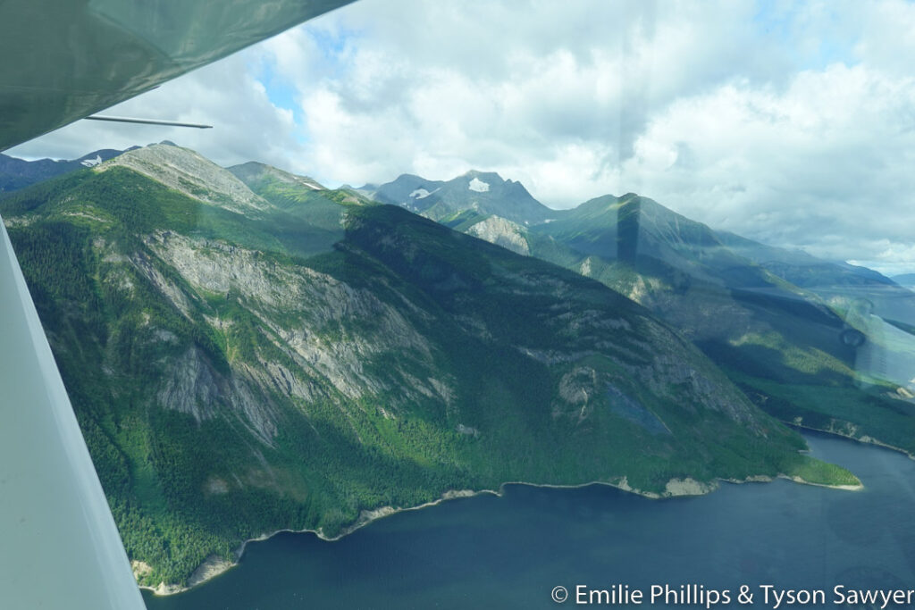
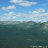
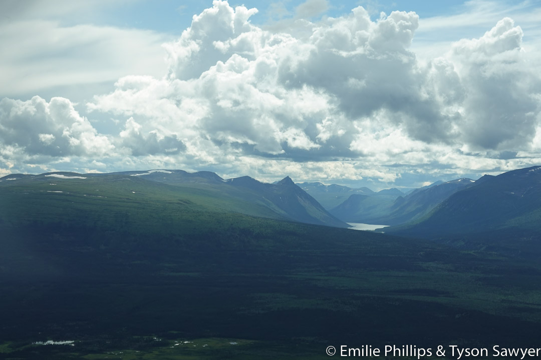
The mountains along the side arm of Williston lake were stunning.
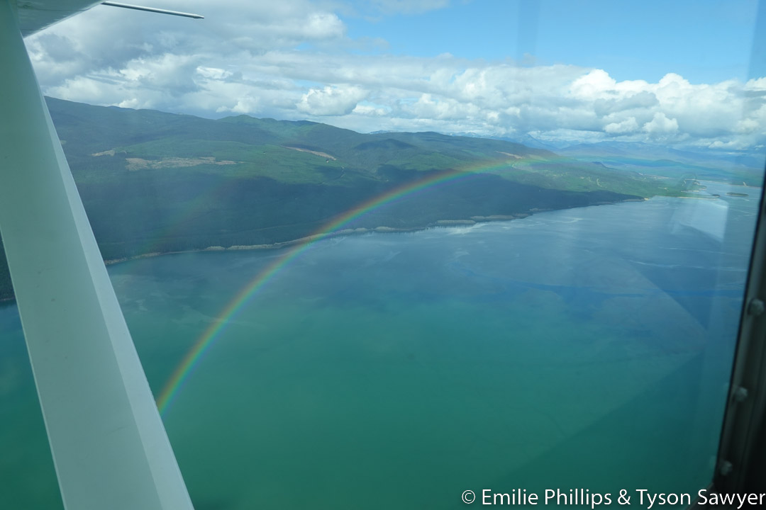
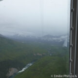
As we made our way up the main body of Lake, scattered showers became more prevalent, and so did rainbows.

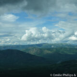
As we approached the north end of the lake and Fort Ware the weather was looking rather dark ahead. A bit north of Fort Ware is the highest ground in The Trench and it is notorious for creating or holding bad weather. We heard a Beech 1900 commuter plane flying an approach into Ft Ware and asked if they could provide us with a report of the weather in the Fort Ware area. They reported that the weather at Fort Ware was pretty good, but further north was looking rather less good. Without cell reception, that was the only advanced weather information we could get. When we reached Fort Ware, it was clear that we weren’t going to get through. We looked at the terrain ahead and tried a side valley in hopes it would take us around and north of the problem weather. It did not, we were at a dead-end.

We had read reports that the locals in Fort Ware aren’t friendly to non-native outsiders and that if you leave your plane unattended, things may disappear. Just south of Fort Ware is Finbow (CBF2), an abandoned airport that can still be used if your plane is appropriate. We returned to Finbow with the thought we may be there until the weather improves, possibly tenting for a couple days.

Finbow was quite grown up with brush and saplings. Only about 800 or 900 feet of it was usable before your wings would be running into saplings that might damage a leading edge. After waiting for 2 1/2 hours with no obvious improvement in the weather we decided to hop in the plane and take a closer look. Things were ever so slightly less gloomy, but there had not been much useful improvement. It was still a dead-end. We returned to Finbow.
After selecting a place to setup the tent, we considered that Emilie (who was still back home) could provide us with weather reports for Watson Lake via satellite messenger. If the weather was good VMC (Visual Meteorological Conditions) at Watson lake, we could go above the clouds and not need to fly an instrument approach at Watson Lake. Though we were equipped to fly in IMC (Instrument Meteorological Conditions), we did not have all the needed information to fly an approach. The Trench is uncontrolled airspace up to 18,000 ft. Uncontrolled airspace gives us considerable leeway on weather requirements, esp. as we were rated and equipped for IFR (Instrument Flight Rules) flight.
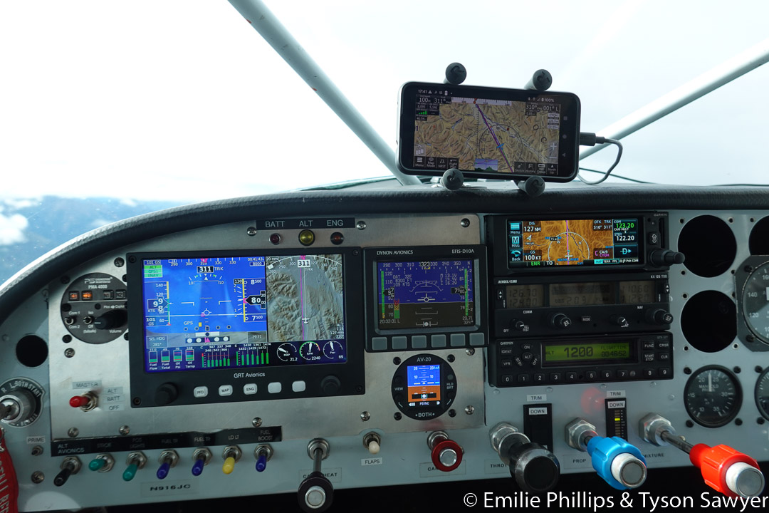
After 1 3/4 hours on the ground for our second stop at Finbow, we departed to take a high route to Watson Lake. During this leg we remarked on the equipment that we had in the panel and how it provided GPS moving maps that depicted the terrain around us and color coded it based on how far below or above us it is. The situational awareness it provides is amazing and in stark contrast to the equipment my great uncle had on his final journey to Alaska 50 years prior. We found the reported good weather once we got past the highest part of The Trench.
At Watson Lake our “luck” with lodging and transportation returned. After fueling and parking the airplane, we just barely caught the only taxi before they signed off for the night. In town, we found all the hotels were full. We had camping gear in the airplane and there is a place for camping at the airport. But now we were cut off from those resources by over 8 miles of road. Not all of the knees on this journey were able to walk 8 miles. At the last hotel in town, my father asked if there was any place at all that we could sleep instead of on the street. A broom closet would do. The woman behind the desk said, “maybe…” A couple of the hotels were the same business with different names. Their other hotel, which we had already stopped at, had a room that wasn’t up to standards for guests but was used by staff when they needed a place to sleep. We arranged to use that room for a very low price. Once checked in for the night, we found that the only restaurant had just closed, but the woman at this hotel was able to sell us some homemade sandwiches from the refrigerator.
- CYDQ-CBF2: 330 miles, 2:56 hrs, 112 mph
- CBF2-CBF2: 68 miles, 37 min, 110 mph
- CBF2-CYQH: 237 miles, 1:57 hrs, 121 mph
All Day 6 Pictures
-

- Mountains coming into view -- Comments (0)

-
- Peace River -- Comments (0)

-

- Peace Canyon hydroelectric dam -- Comments (0)

-

- First view of Williston Lake -- Comments (0)

-

- Mountains along Williston Lake -- Comments (0)

More ...
-

- Hole in the cliffs -- Comments (0)

-
- Flying north on Williston Lake -- Comments (0)

-

- Rain over Williston Lake -- Comments (0)

-

- Fort Grahme -- Comments (0)

-

- Rainbow -- Comments (0)
-

- Rainbow -- Comments (0)
-

- Interesting erosion along the river bank -- Comments (0)

-
- Weather ahead -- Comments (0)
-

- Passing Finbow -- Comments (0)

-

- Trying a side valley -- Comments (0)

-

- Side valley also closed off -- Comments (0)

-

- Rapids on the Finlay River -- Comments (0)

-
- Backtracking -- Comments (0)

-

- On the ground at Finbow -- Comments (0)

-
- Hoping the weather will improve -- Comments (0)
-

- Still waiting at Finbow -- Comments (0)
-

- Second aborted look -- Comments (0)

-

- Past the worst of the weather -- Comments (0)
-

- Further up The Trench toward Watson Lake -- Comments (0)

-
- Upgraded panel proving its worth -- Comments (0)
-

- Interesting ridge -- Comments (0)

-

- Multiple layers of clouds -- Comments (0)
-

- Ground through low clouds -- Comments (0)

-
- Almost to Watson Lake -- Comments (0)

... Collapse
Day 7 : Thursday, August 4
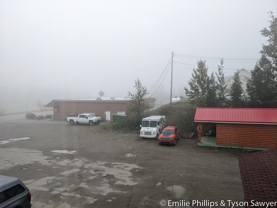
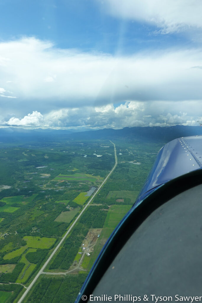
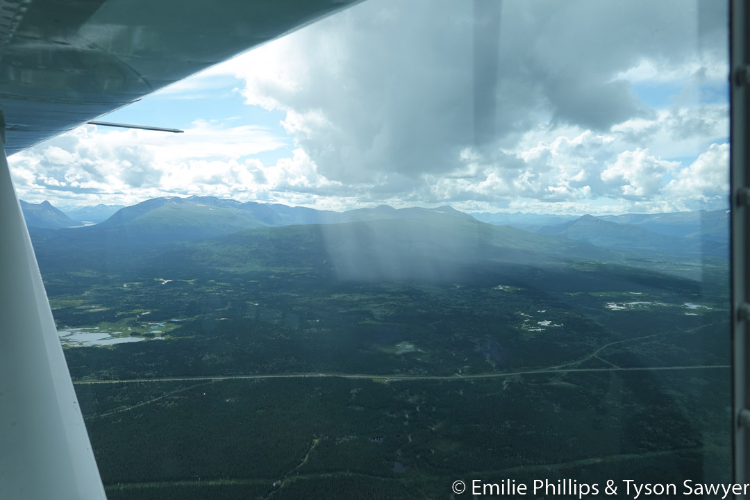
Morning fog provided me with time for planning before breakfast in the now open restaurant. After checking out, the cab was quick to arrive and return us to the airport. The plan for the day was to follow the Alaska Highway through Whitehorse to the Discovery Yukon Lodgings in Beaver Creek. The Discovery Yukon Lodgings has a grass runway that is kept mowed. Their web site makes no mention of the runway and it is not on the Canadian navigational charts, but they welcome airplanes. Discovery Yukon Lodgings is a good launching point to clear US customs in Northway, AK the next morning.


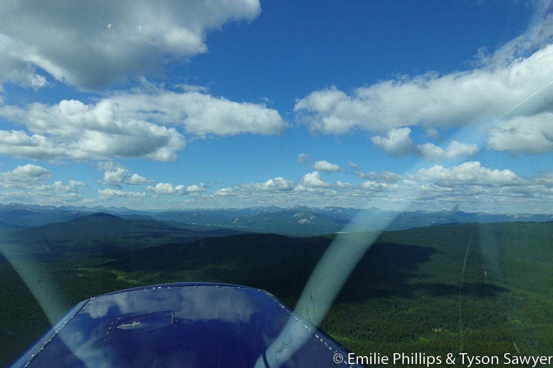
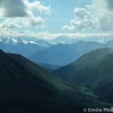
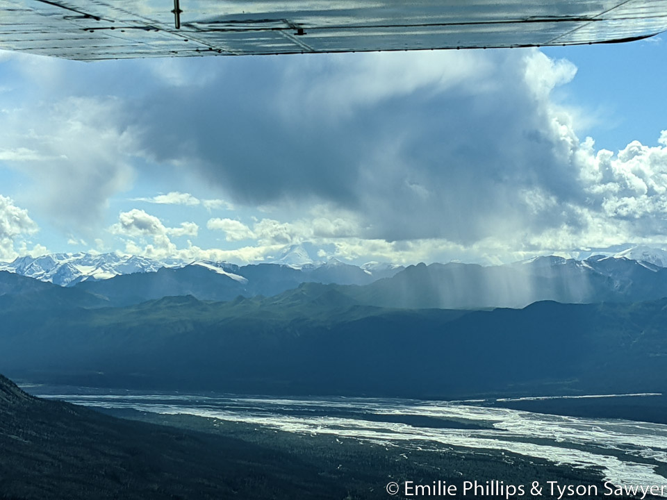
Though we passed a few showers (and a few rainbows), the weather all the way Beaver Creek was good. The mountains were less tall and a bit more rounded than those further south in the Canadian Rockies.
The Alaskan Highway has long straight sections, reportedly so that it could be used to land aircraft on it when needed during World War II. The highway was built to bring equipment, supplies and people to Alaska to support Russia’s effort in the war and defend the Aleutian Islands from Japan.

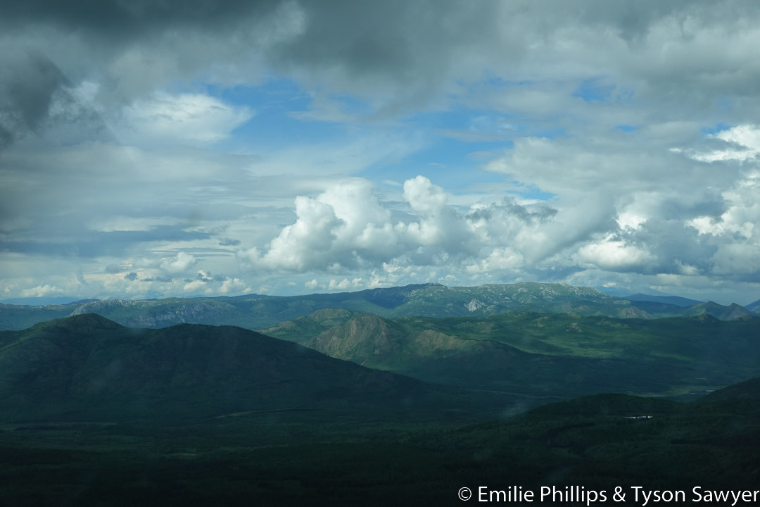
Like so many other sections of our journey, the scenery was stunning.

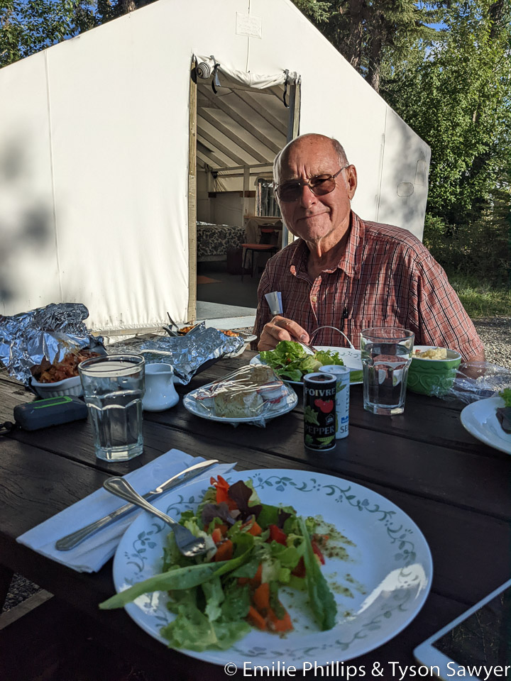
The Discovery Yukon Lodge was a wonderful stop. The locals were only browsing for berries and showed no interest in the available home cooked dinner which included a fresh salad made from vegetables grown on site.


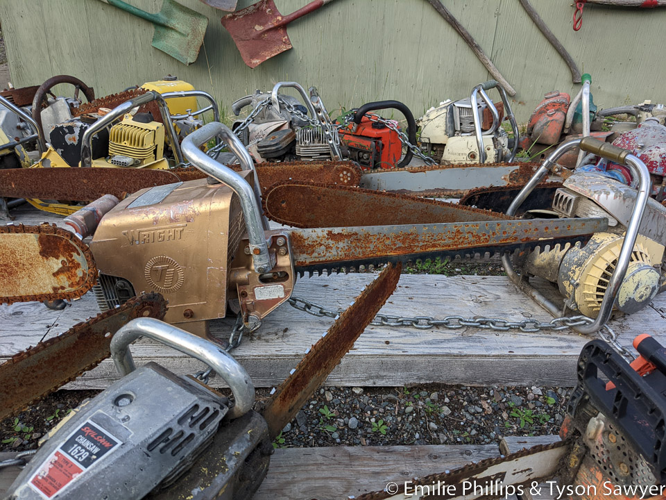
The chainsaw museum was interesting and the walled tent provided a good night’s sleep. Cabins are also generally available, but were all booked when we arrived.
CYQH-Discovery Yukon Lodge: 465 miles, 3:47 hrs, 122 mph
All Day 7 Pictures
-

- Morning fog from the broom closet -- Comments (0)
-

- Mountains and clouds -- Comments (0)

-

- Mountains -- Comments (0)

-
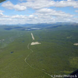
- Pine Lake (CFY5) -- Comments (0)
More ...
-

- Cassiar Mountains -- Comments (0)

-
- Mountains -- Comments (0)
-

- Swan Lake -- Comments (0)

-
- Mountains and clouds -- Comments (0)


-

- Ridge east of Little Atlin Lake -- Comments (0)

-

- Mount White -- Comments (0)
-

- Alaska Highway -- Comments (0)

-

- Sifton Range -- Comments (0)
-

- Scattered rain showers -- Comments (0)
-

- Snow on the Dezadeash Range -- Comments (0)

-

- Mountains getting taller -- Comments (0)

-

- Silver City (CFQ5) -- Comments (0)

-

- Float plane on Kluane Lake -- Comments (0)

-

- Ruby Range Kluane plateau reflecting in Kluane Lake -- Comments (0)

-
- Bigger mountains with more snow -- Comments (0)

-

- More scattered rain showers -- Comments (0)
-

- Snow covered mountains -- Comments (0)

-
- Landed at Discovery Yukon Lodge -- Comments (0)

-

- Local black bear trolling for berries -- Comments (0)
-

- Bearhawk parked with the other vehicles -- Comments (0)

-

- Fresh home cooked dinner at Discovery Yukon Lodge -- Comments (0)
-

- Chainsaw and logging museum -- Comments (0)
-

- That’s not a chainsaw -- Comments (0)
-

- Derelict decorative dory -- Comments (0)

-

- Harvey found a book on the history of the Alaska Highway -- Comments (0)
... Collapse
Continue reading: Alaska Days 8-12 : Arrival in Anchorage
Let us know what you think