Worms Airfield
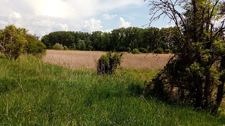
Worms Airfield is an aerodrome in Worms, Rhenish Hesse, Rhineland-Palatinate located on Am Flugplatz. Worms Airfield is situated nearby to the locality Seniorwiese and the suburb Karl-Marx-Siedlung.Photo: Carsten Steger, CC BY-SA 4.0.
- Type: Aerodrome
- Description: aerodrome in Germany
- Address: Am Flugplatz 1, 67547
Notable Places in the Area
Worms Cathedral
Church
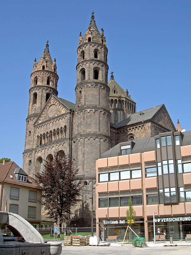
Photo: Wikimedia, CC BY-SA 3.0.
St Peter's Cathedral is a Roman Catholic church and former cathedral in Worms, southern Germany.
Jewish Cemetery
Cemetery
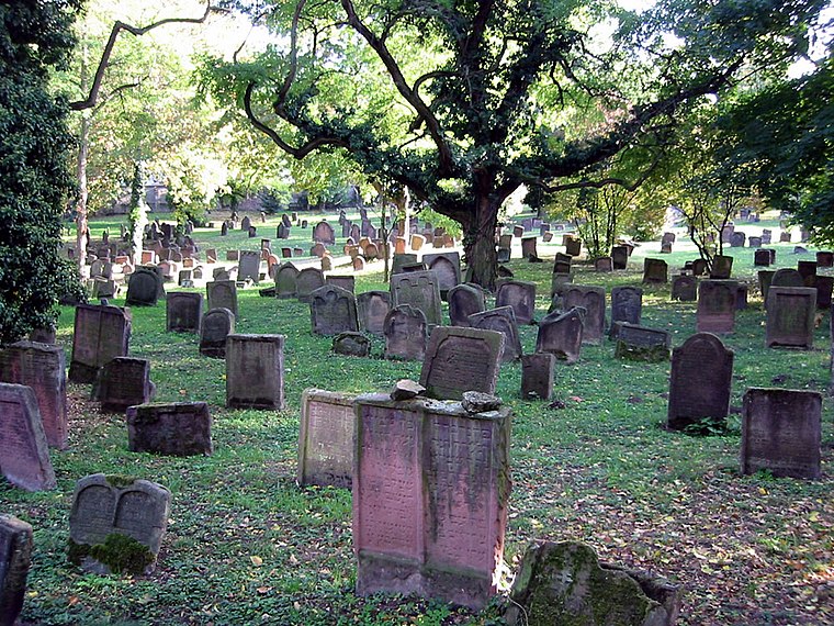
Photo: PanchoS, Public domain.
The Jewish Cemetery in Worms or Heiliger Sand, in Worms, Germany, is usually called the oldest surviving Jewish cemetery in Europe, although the Jewish burials in the Jewish sections of the Roman catacombs predate it by a millennium.
Localities in the Area
Bobenheim-Roxheim
Village

Photo: Jivee Blau, CC BY-SA 3.0.
Bobenheim-Roxheim is a municipality in the Rhein-Pfalz-Kreis, in Rhineland-Palatinate, Germany.

Kleinniedesheim
Village

Photo: Immanuel Giel, Public domain.
Kleinniedesheim is a municipality in the Rhein-Pfalz-Kreis, in Rhineland-Palatinate, Germany.
Worms Airfield
- Categories: commercial airfield, meadow and transportation
- Location: Worms, Rhenish Hesse, Rhineland-Palatinate, Germany, Central Europe, Europe
- View on OpenStreetMap
Latitude
49.60656° or 49° 36' 24" northLongitude
8.36889° or 8° 22' 8" eastElevation
88 metres (289 feet)Operator
Flugplatz GmbH WormsIATA airport code
ZQVICAO airport code
EDFVOpen Location Code
8FXCJ949+JHOpenStreetMap ID
way 34795203OpenStreetMap Feature
aeroway=aerodromeOpenStreetMap Feature
landuse=meadowGeoNames ID
3272931Wikidata ID
Q1294042Worms Airfield Satellite Map
© OpenStreetMap, Mapbox and Maxar
Also Known As
- English: EDFV
- English: Worms airfield
- English: ZQV
- French: Aérodrome de Worms
- French: aérodrome de Worms
- German: Flugplatz Worms
- Indonesian: EDFV
- Indonesian: ZQV
- Malay: Lapangan Terbang Worms
- Worms
Localities in the Area
- SeniorwieseLocality
- Karl-Marx-SiedlungSuburb
- SpießLocality
- HeiligensandLocality
- MittelbuschLocality
Landmarks in the Area
Escape to a Random Place
Discover other destinations in the world.
About Mapcarta. Thanks to Mapbox for providing amazing maps. Data © OpenStreetMap contributors and available under the Open Database License. Text is available under the CC BY-SA 4.0 license, excluding photos, directions and the map. Photo: Carsten Steger, CC BY-SA 4.0.