Chingozi Airport
Chingozi Airport is an airport in Tete, Mozambique. According to the BBC, a new airport may be built and the current one shut down to allow for coal mining activities.Photo: Ydicoetsee, CC BY-SA 4.0.
Localities in the Area
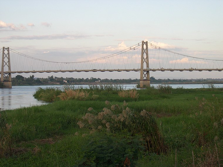
Moatize
Town

Photo: Teixant, Public domain.
Moatize is the principal town and administrative center of Moatize District in western Mozambique's Tete Province. Moatize is situated 10 km east of Chingozi Airport.
Chingozi Airport
- Type: Aerodrome
- Description: airport in Mozambique
- Categories: airport, cultural heritage, commercial traffic aerodrome and transportation
- Location: Tete, Mozambique, Southern Africa, Africa
- View on OpenStreetMap
Latitude
-16.10285° or 16° 6' 10" southLongitude
33.6385° or 33° 38' 19" eastElevation
160 metres (525 feet)IATA airport code
TETICAO airport code
FQTTOpen Location Code
5GMMVJWQ+VCOpenStreetMap ID
way 324845413OpenStreetMap Feature
aeroway=aerodromeGeoNames ID
6301546Wikidata ID
Q3275527Chingozi Airport Satellite Map
© OpenStreetMap, Mapbox and Maxar
Also Known As
- Catalan: Aeroport de Chingozi
- Catalan: aeroport de Chingozi
- Cebuano: Chingozi Airport
- Chinese: 太特
- Chinese: 钦戈兹伊机场
- English: Chingodzi Airport
- English: FQTT
- English: Matundo Airport
- English: TET
- English: Tete Airport
- French: Aérodrome de Tete-Chingozi
- French: TET
- French: aérodrome de Tete-Chingozi
- German: Aeroporto de Tete
- German: Flughafen Chingozi
- German: Flughafen Tete
- Indonesian: FQTT
- Indonesian: TET
- Japanese: シンゴジ空港
- Japanese: チンゴジ空港
- Japanese: テテ
- Malay: Lapangan Terbang Chingozi
- Persian: فرودگاه چینگوزی
- Polish: Port lotniczy Chingozi
- Portuguese: Aeroporto de Chingozi
- Portuguese: Aeroporto de Tete
- Romanian: Aeroportul Chingozi
- Tajik: Фурудгоҳи чингузи
- Tete / Chingozi
- Tete
Localities in the Area
- BengaVillage, 10 km south
- Bairro Samora MachelLocality, 12 km southwest
- DegheVillage, 16 km west
- BoromaVillage, 22 km west
- CravinaVillage, 26 km southwest
Landmarks in the Area
- Chingodzi AirportAirport terminal
- DHLPost office
- A PiscinaSwimming pool, 8 km southwest
- Igreja de São Tiago MaiorChurch, 8 km southwest
- Universidade CatolicaLibrary, 8 km southwest
Popular Destinations in Mozambique
Discover Maputo, Beira, Ilha de Mozambique and Nampula.
Escape to a Random Place
Discover other aerodromes in the world.
About Mapcarta. Thanks to Mapbox for providing amazing maps. Data © OpenStreetMap contributors and available under the Open Database License. Text is available under the CC BY-SA 4.0 license, excluding photos, directions and the map. Description text is based on the Wikipdia page Chingozi Airport. Photo: Ydicoetsee, CC BY-SA 4.0.