Montaigu St Georges Airport
Montaigu St Georges Airport is an aerodrome in Montaigu, Arrondissement of La Roche-sur-Yon, Pays de la Loire. Montaigu St Georges Airport is situated nearby to the hamlets La Troquerie and Le Vivier.Photo: Drallam44, CC BY-SA 4.0.
Notable Places in the Area
Église Saint-Martin de Saint-Georges-de-Montaigu
Church
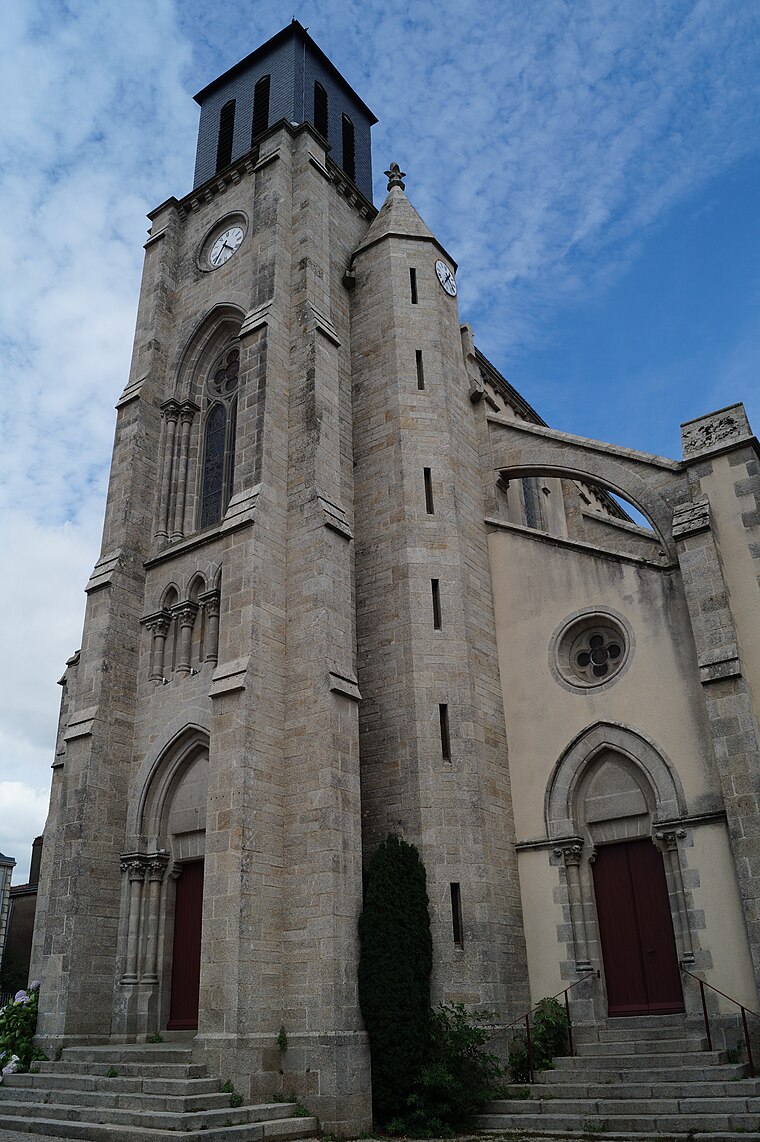
Photo: Éduarel, CC BY-SA 3.0.
Église Saint-Martin de Saint-Georges-de-Montaigu is a church.
Église Notre-Dame-de-l'Assomption de Boufféré
Church
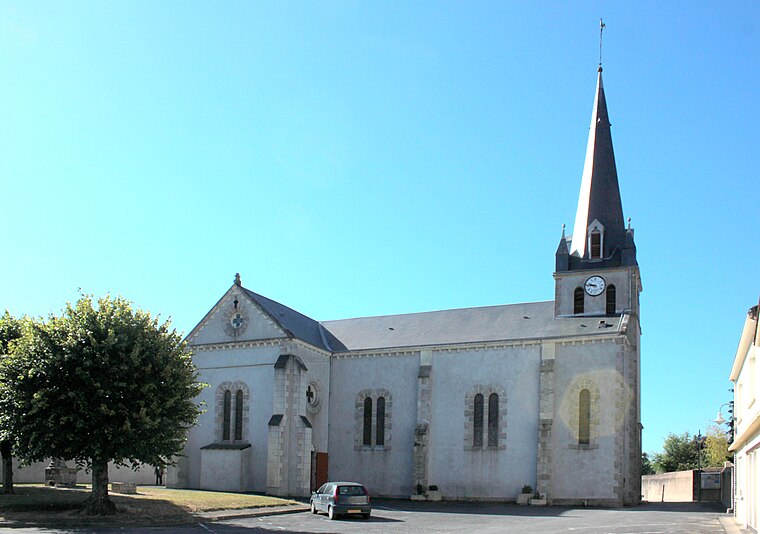
Photo: Llann Wé², CC BY-SA 3.0.
Église Notre-Dame-de-l'Assomption de Boufféré is a church.
Localities in the Area
Saint-Georges-de-Montaigu
Village
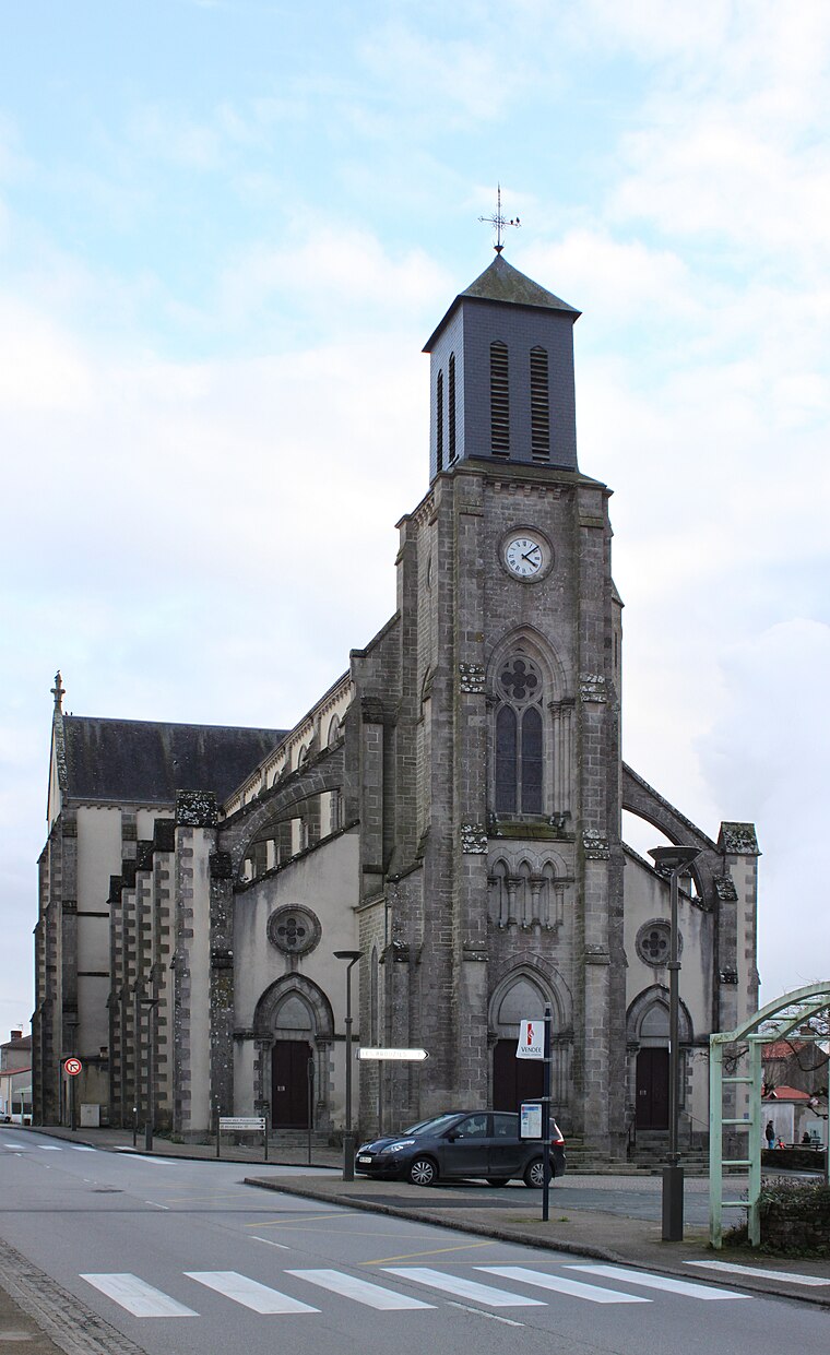
Photo: Llann Wé², CC BY-SA 3.0.
Saint-Georges-de-Montaigu is a former commune in the Vendée department in the Pays de la Loire region in western France.
Boufféré
Village
Photo: Llann Wé², CC BY-SA 3.0.
Boufféré is a former commune in the Vendée department in the Pays de la Loire region in western France.
L'Herbergement
Village
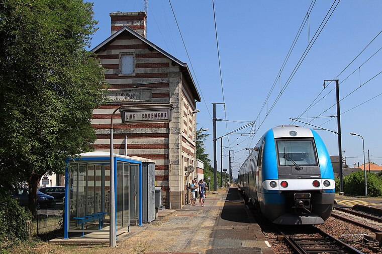
Photo: Cramos, CC BY-SA 3.0.
L'Herbergement is a commune in the Vendée department in the Pays de la Loire region in western France.
Montaigu St Georges Airport
- Type: Aerodrome
- Description: airport in France
- Category: transportation
- Location: Montaigu, Arrondissement of La Roche-sur-Yon, Vendée, Pays de la Loire, France, Europe
- View on OpenStreetMap
Latitude
46.93146° or 46° 55' 53" northLongitude
-1.32778° or 1° 19' 40" westElevation
56 metres (184 feet)ICAO airport code
LFFWOpen Location Code
8CRWWMJC+HVOpenStreetMap ID
way 41972745OpenStreetMap Feature
aeroway=aerodromeGeoNames ID
6694757Wikidata ID
Q2875539Montaigu St Georges Airport Satellite Map
© OpenStreetMap, Mapbox and Maxar
Also Known As
- Cebuano: Montaigu - Saint-Georges
- English: LFFW
- English: Montaigu - Saint-Georges
- English: Montaigu-Saint-Georges Airport
- English: St Georges, Perancis Airport
- French: Aérodrome de Montaigu-Saint-Georges
- French: Montaigu - Saint-Georges
- French: aérodrome de Montaigu-Saint-Georges
- Indonesian: LFFW
- Malay: Lapangan Terbang St Georges, Perancis
- Aérodrome Montaigu - Saint-Georges
Localities in the Area
- La TroquerieHamlet
- Le VivierHamlet
- La RiblauderieHamlet
- Le ButayHamlet
- La ChapelièreHamlet
Landmarks in the Area
- Terrain de Supercross de Saint-Georges-de-MontaiguAthletics track
- AéromodélismeSports venue
- Le BouvreauStream
- Château du HallayCastle
Popular Destinations in Pays de la Loire
Discover Montsoreau, Nantes, Angers and Le Mans.
Escape to a Random Place
Discover other destinations in the world.
About Mapcarta. Thanks to Mapbox for providing amazing maps. Data © OpenStreetMap contributors and available under the Open Database License. Text is available under the CC BY-SA 4.0 license, excluding photos, directions and the map. Photo: Drallam44, CC BY-SA 4.0.