Rancagua de la Independencia Airport
De la Independencia Aerodrome is an airport serving Rancagua, a city in the O'Higgins Region of Chile. The airport is on the west side of the city. There is distant mountainous terrain east and west of the runway.Photo: Marco Antonio Correa Flores, CC BY-SA 4.0.
Notable Places in the Area
Estadio El Teniente
Stadium

Photo: Marco Antonio Correa Flores, CC BY-SA 4.0.
Estadio El Teniente, also known as Estadio El Teniente-Codelco for sponsorship reasons, is a multi-purpose stadium in Rancagua, Chile.
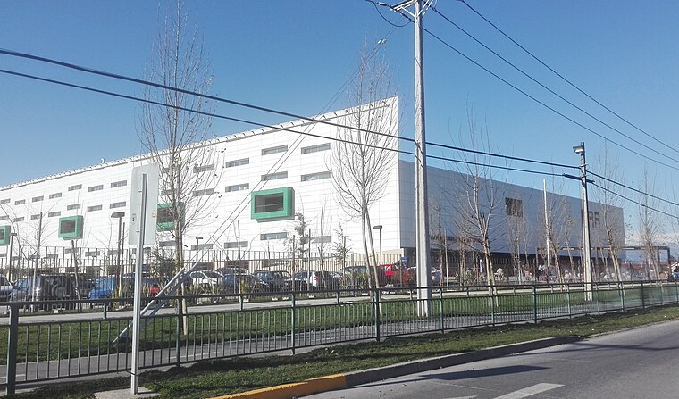
Estación Rancagua
Railway station

Photo: Benjaminpvera, CC BY-SA 4.0.
Estación Rancagua, is a railway station of the Empresa de los Ferrocarriles del Estado in Rancagua, Chile.
Localities in the Area
Olivar
Village

Photo: Wikimedia, CC BY-SA 3.0.
Olivar is a commune in Chile, located in the O'Higgins Region, 10 km south of Rancagua, and administered by the municipality of Olivar.

Rancagua de la Independencia Airport
- Type: Aerodrome
- Description: airport in Chile
- Categories: airport, military facility and transportation
- Location: Rancagua, Cachapoal Province, O'Higgins Region, Central Chile, Chile, South America
- View on OpenStreetMap
Latitude
-34.17318° or 34° 10' 23" southLongitude
-70.77357° or 70° 46' 25" westElevation
489 metres (1,604 feet)IATA airport code
QRCICAO airport code
SCRGOpen Location Code
47QFR6GG+PHOpenStreetMap ID
way 123590126OpenStreetMap Feature
aeroway=aerodromeOpenStreetMap Feature
landuse=militaryGeoNames ID
7730167Wikidata ID
Q891079Rancagua de la Independencia Airport Satellite Map
© OpenStreetMap, Mapbox and Maxar
Also Known As
- Cebuano: De La Independencia Airport
- English: De La Independencia Airport
- English: De la Independencia Airport
- English: Independencia Airport
- English: QRC
- English: SCRG
- Indonesian: QRC
- Indonesian: SCRG
- Japanese: ランカグア空港
- Malay: Lapangan Terbang De La Independencia
- Portuguese: Aeroporto de La Independencia
- Romanian: Aeroportul Independencia
- Spanish: Aerodromo de la Independencia
- Spanish: Aeropuerto De la Independencia
- Spanish: Aeródromo de la Independencia
- Swedish: De La Independencia Airport
- Swedish: Rancagua flygplats
- Aeropuerto Rancagua de la Independencia
Localities in the Area
- Bosques de Santa ClaraNeighborhood
- Prados de Santa ClaraNeighborhood
- Galilea CNeighborhood
- Galilea FNeighborhood
- Villa La ForestaNeighborhood
Landmarks in the Area
- Plaza ActivaSports venue
- Templo CugatChurch
- MulticanchaPitch
- Vega BaquedanoMarketplace
- Plza de juegos 1Park
Popular Destinations in Central Chile
Discover Santiago, Valparaíso, Pichilemu and Viña del Mar.
Escape to a Random Place
Discover other destinations in the world.
About Mapcarta. Thanks to Mapbox for providing amazing maps. Data © OpenStreetMap contributors and available under the Open Database License. Text is available under the CC BY-SA 4.0 license, excluding photos, directions and the map. Description text is based on the Wikipdia page Rancagua de la Independencia Airport. Photo: Marco Antonio Correa Flores, CC BY-SA 4.0.