Filadelfia Airport
Filadelfia Airport is an airport serving the city of Filadelfia in Boquerón Department, Paraguay. The Filadelfia non-directional beacon is located near the southern end of the field.Localities in the Area
Filadelfia
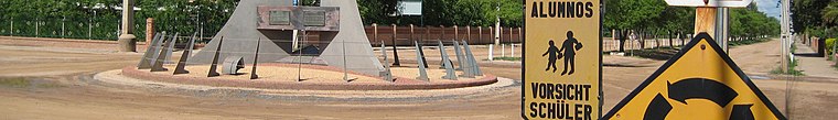 Filadelfia is the largest and most important of the Mennonite colonies established in Western Paraguay located 467 km northwest from Asunción.
Filadelfia Airport
- Type: Airport
- Description: airstrip serving Filadelfia, Paraguay
- Categories: airstrip and transportation
- Location: Filadelfia, Boquerón, Paraguay, South America
- View on OpenStreetMap
Latitude
-22.3541° or 22° 21' 15" southLongitude
-60.05395° or 60° 3' 14" westElevation
140 metres (459 feet)IATA airport code
FLMICAO airport code
SGFIOpen Location Code
579XJWWW+9CGeoNames ID
7731029Wikidata ID
Q11824379Filadelfia Airport Satellite Map
© OpenStreetMap, Mapbox and Maxar
Also Known As
- Cebuano: Filadelfia Airport
- Chinese: 菲拉德菲亚机场
- English: FLM
- English: Fernhein Airport
- English: SGFI
- Esperanto: FLM
- Esperanto: Flughaveno Filadelfio
- Esperanto: SGFI
- German: Flughafen Filadelfia
- Indonesian: SGFI
- Malay: Lapangan Terbang Fernhein
- Polish: Port lotniczy Filadelfia (Paragwaj)
- Polish: Port lotniczy Filadelfia
- Spanish: Aeropuerto de Filadelfia
Localities in the Area
- Comunidad Indígena U’jelhavosLocality
- Comunidad Indígena Yvopey RendaLocality
- IndustrialLocality
- CentroLocality
- Comunidad Indígena Cacique MayetoLocality, 3 km southeast
Landmarks in the Area
- TrébolFort, 7 km east
- Fortín Coronel HermosaFort, 22 km south
Popular Destinations in Paraguay
Discover Asunción, Ciudad del Este, Encarnación and Pedro Juan Caballero.
Escape to a Random Place
Discover other aerodromes in the world.
About Mapcarta. Thanks to Mapbox for providing amazing maps. Text is available under the CC BY-SA 4.0 license, excluding photos, directions and the map. Description text is based on the Wikipdia page Filadelfia Airport. Photo: Greg Schechter, CC BY 2.0.