Yarrawonga Airport
Yarrawonga Airport is located 2 nautical miles south-east of the town of Yarrawonga, Victoria on the border with New South Wales, Australia.Photo: Mattinbgn, CC BY-SA 3.0.
Notable Places in the Area
Yarrawonga Weir Power Station
Power station
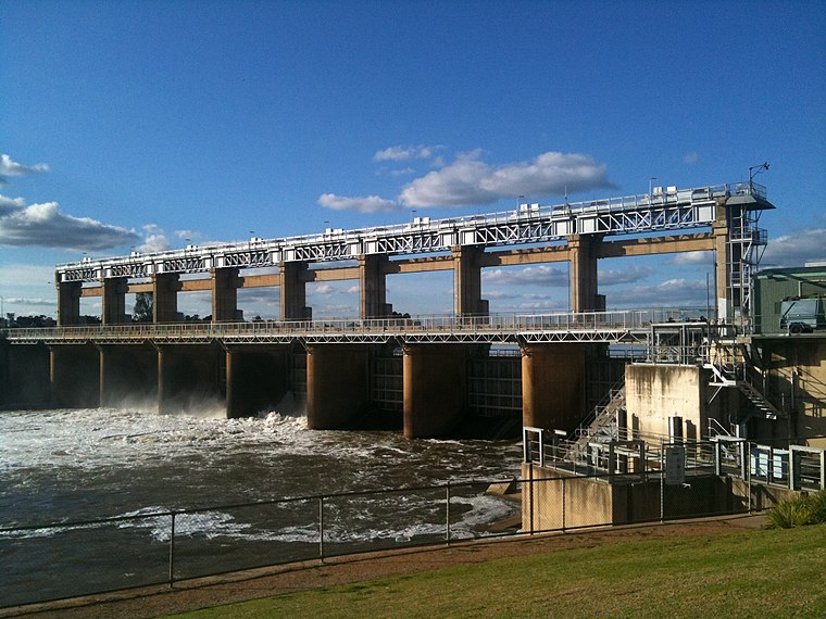
Photo: Mattinbgn, CC BY-SA 3.0.
Yarrawonga Weir Power Station is a hydroelectric power station at Lake Mulwala on the Murray River, Victoria, Australia.
Localities in the Area
Yarrawonga
Town
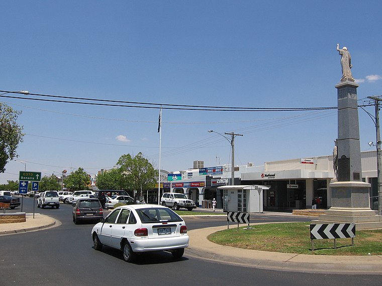
Photo: Mattinbgn, Public domain.
Yarrawonga is a town in the Shire of Moira local government area in the Australian state of Victoria.
Yarrawonga-Mulwala
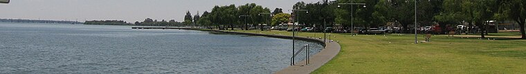
Photo: Mattinbgn, Public domain.
Yarrawonga-Mulwala is a twin city on the border of the Murray River in the Riverina.
Yarrawonga Airport
- Type: Aerodrome
- Description: airport in Victoria, Australia
- Categories: airport and transportation
- Location: Shire of Moira, Victoria, Australia, Oceania
- View on OpenStreetMap
Latitude
-36.03336° or 36° 2' 0" southLongitude
146.02682° or 146° 1' 37" eastElevation
129 metres (423 feet)ICAO airport code
YYWGOpen Location Code
4RM8X28G+MPOpenStreetMap ID
way 50415871OpenStreetMap Feature
aeroway=aerodromeGeoNames ID
8533875Wikidata ID
Q8049558Yarrawonga Airport Satellite Map
© OpenStreetMap, Mapbox and Maxar
Also Known As
- Cebuano: Yarrawonga Airport
- English: YYWG
- English: Yarrawonga Aerodrome
- French: YYWG
- Indonesian: YYWG
- Malay: Lapangan Terbang Yarrawonga
- Persian: فرودگاه یاراوونگا
- Romanian: Aeroportul Yarrawonga
- Swedish: Yarrawonga Airport
- Tajik: Фурудгоҳи иоровунго
Localities in the Area
- Ram's HeadLocality
- Rifle ButtsLocality
- The CommonLocality
- Lumms IslandLocality
- Mulwala CuttingLocality
Landmarks in the Area
- Yarrawonga CemeteryCemetery
- Victoria ParkRecreation area
- Yarrawonga CFA StationFire station
- ShowgroundPitch
- Hammon ParkPark
Escape to a Random Place
Discover other destinations in the world.
About Mapcarta. Thanks to Mapbox for providing amazing maps. Data © OpenStreetMap contributors and available under the Open Database License. Text is available under the CC BY-SA 4.0 license, excluding photos, directions and the map. Description text is based on the Wikipdia page Yarrawonga Airport. Photo: Mattinbgn, CC BY-SA 3.0.