Balkanabat Airport
Balkanabat Airport, also known as Nebit Dag Airport, is a provincial airport located 4.5 kilometres southeast of Balkanabat in Turkmenistan. An opening ceremony of the new airport terminal was held on 7 November 2004.Photo: Amustard, CC BY-SA 4.0.
Localities in the Area
Balkanabat
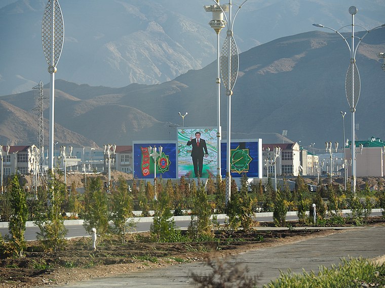
Photo: Laika ac, CC BY-SA 2.0.
Balkanabat, formerly Nebit-Dag and Neftedag, is the administrative centre of Balkan Province, the largest province in Turkmenistan.
Balkanabat Airport
- Type: Airport
- Description: airport in Turkmenistan
- Categories: aerodrome, commercial traffic aerodrome and transportation
- Location: Balkan Province, Turkmenistan, Central Asia, Asia
- View on OpenStreetMap
Latitude
39.48152° or 39° 28' 54" northLongitude
54.36275° or 54° 21' 46" eastElevation
-10 metres (-33 feet)Abbreviation
UT1HIATA airport code
BKNOpen Location Code
8HFPF9J7+J4GeoNames ID
8581504Wikidata ID
Q4076660Balkanabat Airport Satellite Map
© OpenStreetMap, Mapbox and Maxar
Also Known As
- Cebuano: Balkanabat Airport
- Chinese: 巴爾坎納巴德機場
- English (Historic): Nebit Dag Airport
- English: BKN
- English: UT1H
- French: Aérodrome de Balkanabat
- French: aérodrome de Balkanabat
- Hebrew: שדה התעופה בלקנאבט
- Indonesian: BKN
- Indonesian: UT1H
- Japanese: バルカナバート空港
- Malay: Lapangan Terbang Nebit Dag, TM0G
- Malay: Lapangan Terbang Nebit Dag, UT1H
- Polish: Port lotniczy Balkanabat
- Romanian: Aeroportul Balkanabat
- Russian: Аэропорт Балканабат
- Russian: Балканабад
- Russian: Балканабат (аэропорт)
- Turkish: Balkanabat Havalimanı
Localities in the Area
- Balla-IshemLocality, 12 km southeast
- BabakhodzhaLocality, 20 km southwest
- JebelTown, 20 km northwest
- MonzhuklyLocality, 22 km south
- MollagaraVillage, 23 km northwest
Landmarks in the Area
- Nebit Dag NorthwestAirfield, 12 km northwest
- Solonchak Kel’korSalt area, 15 km south
- Gora MonzhuklyHill, 21 km south
- Ozero Molla-KaraLake, 23 km southwest
Popular Destinations in Balkan Province
Discover Turkmenbashi and Balkanabat.
Escape to a Random Place
Discover other destinations in the world.
About Mapcarta. Thanks to Mapbox for providing amazing maps. Text is available under the CC BY-SA 4.0 license, excluding photos, directions and the map. Description text is based on the Wikipdia page Balkanabat Airport. Photo: Amustard, CC BY-SA 4.0.