Lugovoy
Lugovoy is an airbase in Jambyl Region, Kazakhstan. Lugovoy is situated close to the localities Poselok and Lugovaya.Localities in the Area
Lugovoy
Village
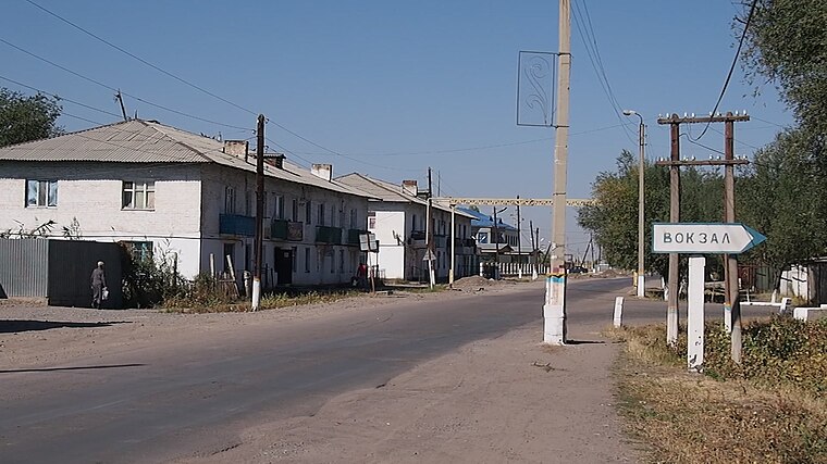
Photo: Man77, CC BY-SA 3.0.
Lugovoy is a village in the Turar Ryskulov District, Jambyl Region, Kazakhstan. Lugovoy is situated 4½ km southeast of Lugovoy.
Kulan
Village
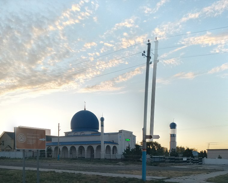
Photo: Bekjanbektenbai, CC BY 3.0.
Kulan, named Lugovoe until 1992, is a small town that is the administrative centre of the Turar Ryskulov District of the Jambyl Region of Kazakhstan. Kulan is situated 7 km south of Lugovoy.
Karakat, Jambyl Region
Hamlet
Karakat is an aul in the Turar Ryskulov District, Jambyl Region, Kazakhstan. Karakat, Jambyl Region is situated 10 km south of Lugovoy.
Lugovoy
- Type: Airbase
- Category: transportation
- Location: Jambyl Region, Kazakhstan, Central Asia, Asia
- View on OpenStreetMap
Latitude
42.9728° or 42° 58' 22" northLongitude
72.72794° or 72° 43' 41" eastElevation
681 metres (2,234 feet)ICAO airport code
UA36Open Location Code
8JJJXPFH+45GeoNames ID
11473943Lugovoy Satellite Map
© OpenStreetMap, Mapbox and Maxar
Other Places Named Lugovoy
Localities in the Area
- PoselokLocality
- LugovayaLocality
- LeninoLocality, 6 km east
- Raz”yezd Nomer Devyanosto Vosem’Locality, 7 km east
- YengbekshiLocality, 8 km southeast
Landmarks in the Area
- Stantsiya LugovayaRailway station, 3½ km southeast
- Ozero Kalgankol’Lake, 15 km north
- ZharlysuRailway station, 21 km west
- Gora KaraulshokyHill, 21 km southwest
- Kladbishche KaratobeCemetery, 22 km north
Escape to a Random Place
Discover other destinations in the world.
About Mapcarta. Thanks to Mapbox for providing amazing maps. Text is available under the CC BY-SA 4.0 license, excluding photos, directions and the map. Photo: Dmottl, CC BY-SA 3.0.