Ramsele Airport
Ramsele Airport is an aerodrome in Sollefteå Municipality, Västernorrland County. Ramsele Airport is situated close to the hamlets Tynnerås and Ovanmo.Localities in the Area
Ramsele
Village
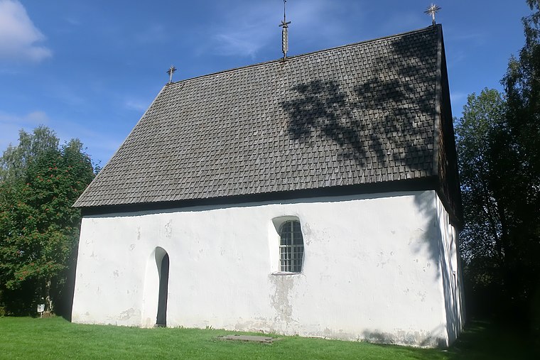
Photo: Y-näsmannen, CC BY-SA 3.0.
Ramsele is a locality situated in Sollefteå Municipality, Västernorrland County, Sweden with 968 inhabitants in 2010.
Ramsele Airport
- Type: Aerodrome
- Description: airport in Sweden
- Categories: airport and transportation
- Location: Sollefteå Municipality, Västernorrland County, Norrland, Sweden, Nordic countries, Europe
- View on OpenStreetMap
Latitude
63.4903° or 63° 29' 25" northLongitude
16.4836° or 16° 29' 1" eastOpen Location Code
9FMRFFRM+4COpenStreetMap ID
node 1042034286OpenStreetMap Feature
aeroway=aerodromeWikidata ID
Q20448454Ramsele Airport Satellite Map
© OpenStreetMap, Mapbox and Maxar
Also Known As
- English: ESUR
- Indonesian: ESUR
- Malay: Lapangan Terbang Ramsele
- Romanian: Aeroportul Ramsele
- Ramsele Airfield
Localities in the Area
Landmarks in the Area
- StorstenbergetPeak
- VikflobergetPeak
- HalsvikbergetPeak
- VikbergetPeak
- MiddagskullenHill
Popular Destinations in Västernorrland County
Discover Sundsvall, Örnsköldsvik, Härnösand and High Coast.
Escape to a Random Place
Discover other aerodromes in the world.
About Mapcarta. Thanks to Mapbox for providing amazing maps. Data © OpenStreetMap contributors and available under the Open Database License. Text is available under the CC BY-SA 4.0 license, excluding photos, directions and the map. Photo: Erik Frohne, CC BY-SA 3.0.