
The Vitals
Dates: May 28 – June 2, 2017
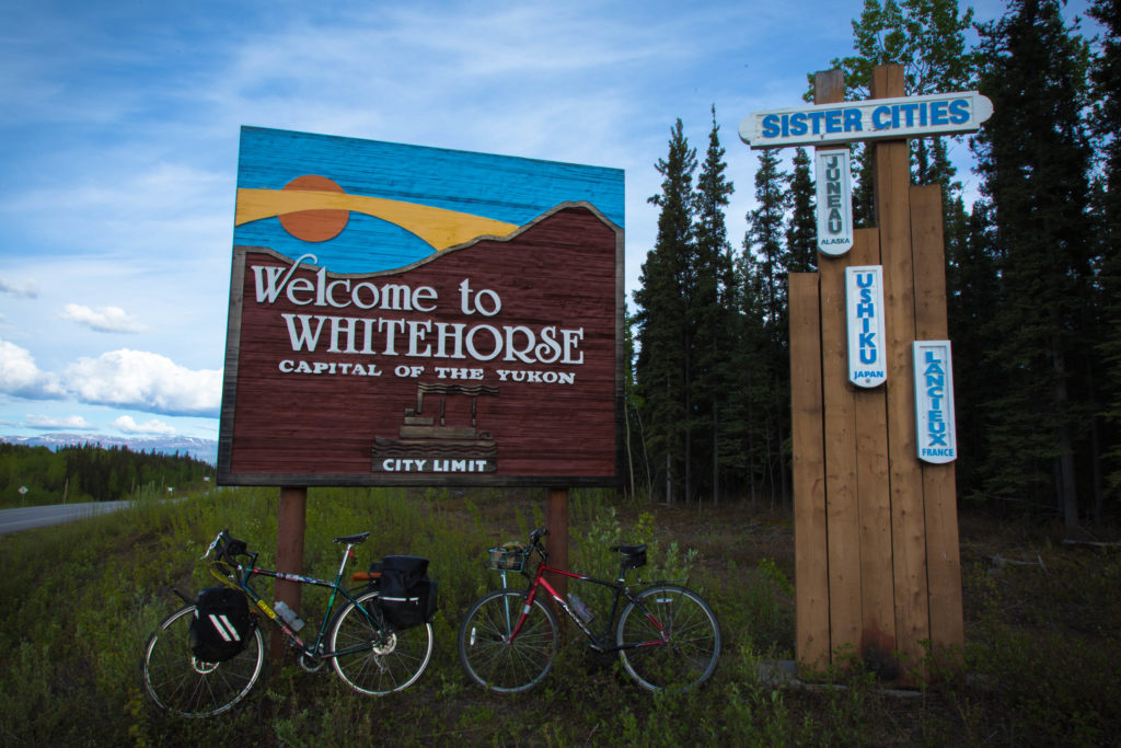
Location: Whitehorse, YT > Skagway, AK > Haines, AK (ferry) > Haines Junction, YT > Whitehorse , YT
Partners: Brittany
Distance: 608 km (4562 m gained) by bike
Time: 6 days
Resources: This guy’s site, but it’s not very complicated
Photos: Brittany
The Trip
The day before
We arrived in Whitehorse on a Saturday afternoon and planned to assemble our bikes at the airport and ride into town. We would stash our hiking packs and gear at our friend’s house in Riverdale and then spend the night at a host arranged through Warm Showers. This plan ended up with a small hitch once we had set up our impromptu bike shop next to the arrivals door at the very small Whitehorse airport.

“Greg, what are all these little balls?” was the question from Brittany. All of those little balls were the loose bearings from her headset. Brittany had never packed a bike for travel before and didn’t realize the implications of removing her fork.
We managed to stuff in enough bearings to limp into town where the staff at Cadence Cycles were able to repack her bearings immediately and for less than $20. A blessing since no shops would be open on Sunday.
Day 1 – Whitehorse to Conrad 90 km (90 km total)
We set off at around 10:00 am after a last minute decision to shed our locks in the basement of our hosts (the correct decision) and to borrow a can of bear spray which I kept handy in my front pannier’s side pocket for the duration of the trip (also the correct decision, even if we didn’t need it).
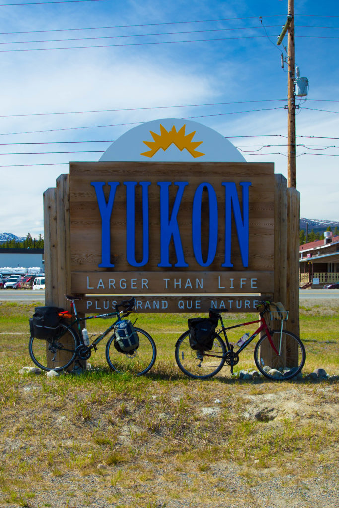
Starting out is always really exciting and we stopped within a kilometer or two to take pictures on the pedestrian bridge over the Yukon river. This excitement lasted beyond the single turn of the day (right onto Hwy 2 from Hwy 1) but was beginning to wane as headwinds pelted us. I think that the stretch of road from Whitehorse until Emerald Lake, a few kilometers north of Carcross, is the most boring of the circle so it was good to get it out of the way while we were still fired up.

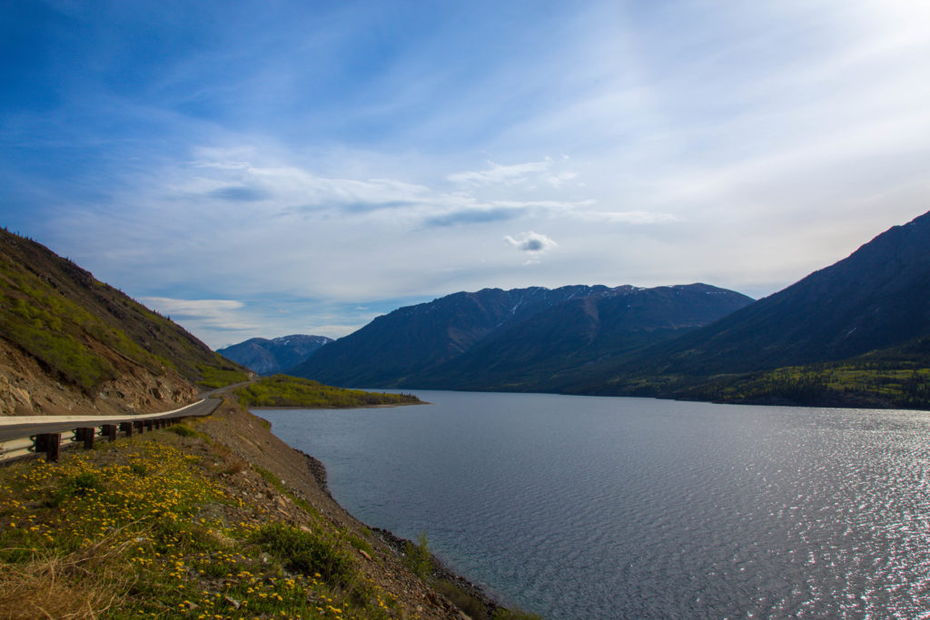
Emerald lake is an aptly named body of water which marks the start of good sightseeing on the trip. The lake looks as good in person as in postcards and gets its colour from a few millimeters of “merl” (calcium carbonate) in the shallow water.
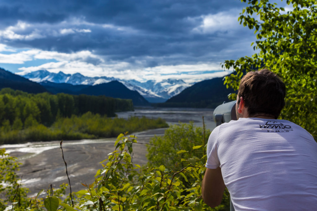
A few kilometers later you arrive at the Carcross Desert, billed as the world’s smallest. The desert is in rain shadow and is only about 2.5 km² but is not actually a desert strictly speaking. It is however, a unique northern ecosystem with shifting sand dunes deposited by the wind from Bennet Lake.
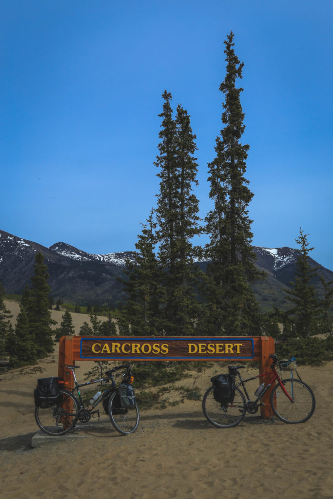
At the desert 
View from Nares Mountain. The wind blows the sand from Bennet Lake (center top) to the desert (right)
We rested for a long time in Carcross checking out the White Pass and Yukon Route (WP&YR) narrow gauge train and station. This would be our destination in a week’s time to sample the mountain biking trails.

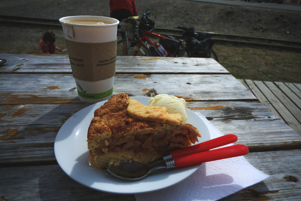
Bike fuel 
Carcross Commons 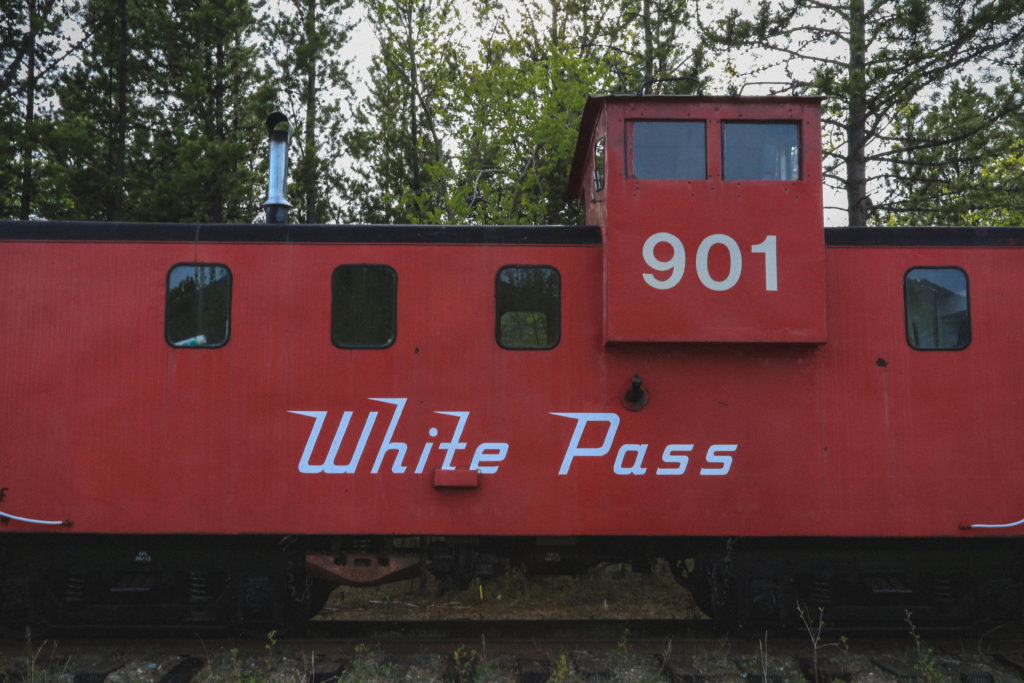
Train from the WPYR railroad
In the evening we got on our bikes to cycles the last 17 km or so to Conrad campground, a Yukon Territory site reported to have water (not potable) and bear lockers (non-existent). On our way, several cars slowed down to report bears on the road just ahead. This put a little fear in our hearts but the beasts never materialized so we rolled into the campground around 8:30 pm to cook dinner and attempt to sleep in a place that never truly gets dark at this time of year.
Despite the lack of bear lockers and potable water, cycle touring in this stretch of the Yukon is still made much better by government attention. The campground was beautifully maintained (it’s only a year or two old but good maintenance was common across all the Territory campgrounds we stayed at) and cheap ($12/night) and there are numerous road pullouts with interpretive signs along the way. Stopping at the pullouts is a welcome break and gives you something to look forward to when you see the viewpoint symbols along the highway.

Day 2 – Conrad to Haines (ferry from Skagway to Haines) 100 km (190 km total)
This was a second day of ferocious headwind through the last section of the Yukon, a north east section of BC, and then into Alaska at White Pass.
The ride begins with a ride down Windy Arm of Tagish Lake and then a 16 km stretch on the shores of Tutshi Lake. At this point we started to climb a little more consistently to the pass. Along the way you ride past “Log Cabin”, the site of a former town 100 years ago, near the northern terminus of the Chilkoot trail.
Leaving Windy Arm of Tagish Lake 
Tutshi Lake
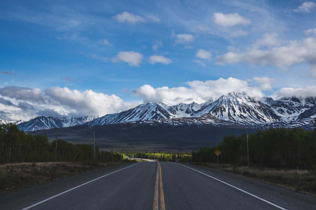
After Log Cabin the landscape rapidly changes. Gone are the tall, pole-like trees to be replaced by hundreds of “pothole lakes” and a few scraggly shrubs that have struggled to their modest heights over decades. We rode for around 20 km or so on this high plateau next to the snow from last winter (this is one of the popular winter ski touring destinations) and surrounded by the lakes before reaching International Border Falls. Here, the “Welcome to Alaska” sign marks not only entry to the United States but also a long descent into the tourist hotbed of Skagway, AK – destination for between 1 and 4 cruise ships every day of the summer season.

Riding the White Pass 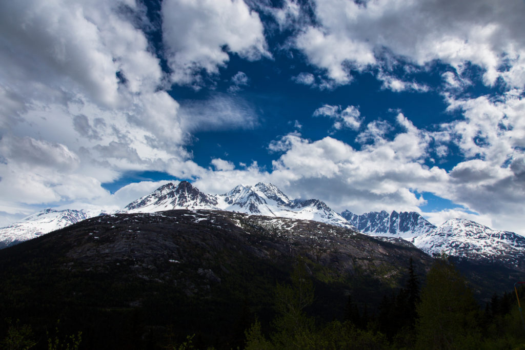
Sawtooth Range
This was also our point of departure for the short ferry ride to nearby Haines, AK. From the ferry we saw an unidentified whale and also had a chance to relax on the sundeck after a pretty difficult day that saw us pedaling downhill from White Pass just to make reasonable progress.
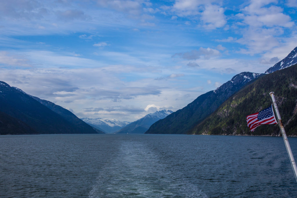
Leaving Skagway on the MV Malaspina 
Four cruise ships today in Skagway 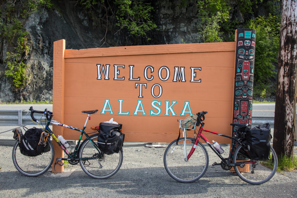
Welcome to Alaska 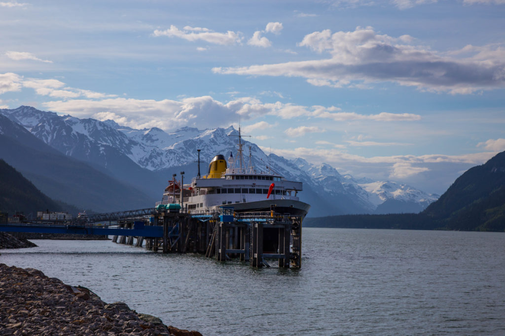
MV Malaspina docked at Haines, AK
On our ride to the campsite in Haines we were hailed by a group using a park’s charcoal BBQ. They invited us to join them and, with no other plans, we accepted. We ate sausages and coleslaw and drank a beer while learning about the Kluane-Chilkat International bike relay from Haines Junction, YT to Haines, AK, a distance of 238 kilometers performed in teams of 8, 4, 2 or solo. One of the group was a three-time winner of the women’s solo race. This is a section of road which would take us three days to complete.

Daily hot chocolate ration 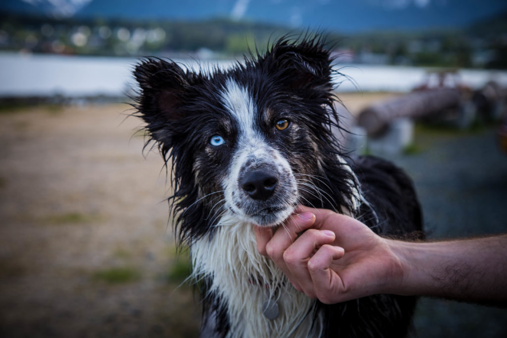
Dog at the BBQ 
The cruise ships started to sail out of Skagway in the evening
That night we slept at a walk/bike-in only campsite just south of the town along the waterfront road. Really no more than a kilometer from the main street in town.
Day 3 – Haines to 33 Mile Roadhouse 53 km (243 km total)
This was our rest day. I had contacted the owner of a breakfast and burger restaurant/gas station called 33 Mile Roadhouse before we left Vancouver to see if we could camp on his property and so we could have a place to stash our food given the plenty of warnings about bears. He had indicated this was no problem so we planned a late start and light eating so we could partake in a plate of burgers and fries at the restaurant.

We toured around Haines in the morning after grabbing a shower at the RV park and left around 2:00 pm for the ride north to 33 Mile Roadhouse. The head winds we had dueled so bravely for two days were now a gentle tailwind pushing us to new speed records on a road that may just be the definition of flat.
Despite it being flat, it winds its way next to the Chilkat River and offers unfettered views of the surrounding mountains including this area’s Cathedral peaks which have only seen a handful of ascents (first female ascent in 2015). You also pass through a large landslide area and the Chilkat Bald Eagle Preserve which had more interpretive signs and plenty of eagles soaring over the river.
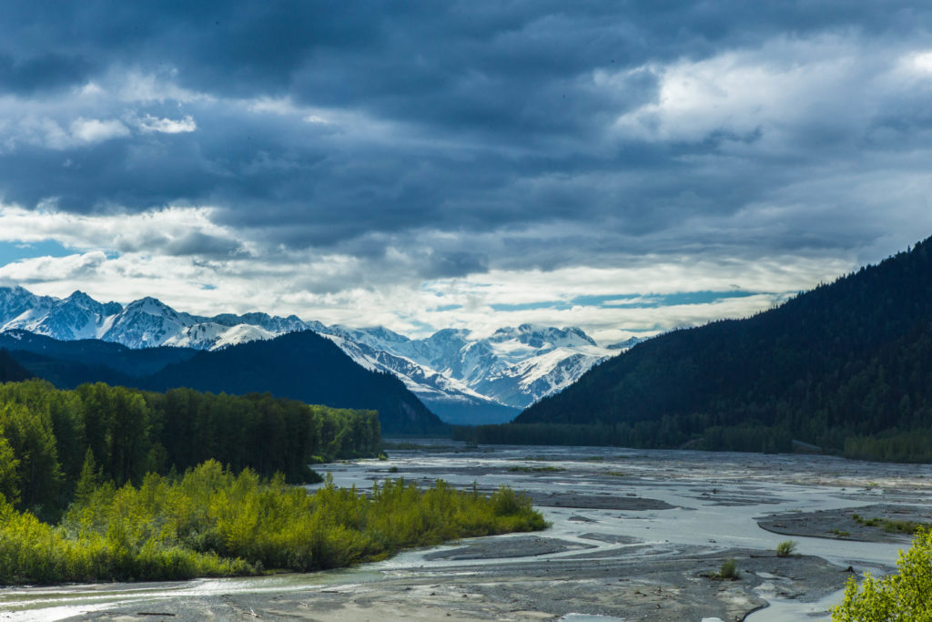
Looking up the valley
When we arrived at 33 Mile Roadhouse my stomach was eating itself and I was aching to get into the burgers but, for a popular road stop, the parking lot looked pretty empty. We rolled up to the front door to see a sign that said the diner was no longer open on Tuesdays as of the previous week. We were in a bit of a pickle since there was no more opportunity to buy food before Haines Junction and we had counted on the diner as one of our meals.

We decided to cook our next night’s dinner and eat it while we figured out what to do. While we sat at the picnic tables on the porch of the restaurant, a few trucks showed up and hung around the parking lot. Apparently 33 Mile Roadhouse is not only a restaurant and gas station, it is also a laundromat. We got talking to the launderers and they offered us 4 beers, 4 chocolate bars, 4 oranges, 4 granola bars, and a big roast beef sandwich. We gratefully accepted the offer and rejoiced that we would not run out of food before Haines Junction after all.

At the roadhouse we also saw our first bear – a black bear crossing the highway up ahead, and did have a good night’s sleep on the lawn after the owner showed up a couple hours after us. He had spent the day fetching a couple from a mountaineering objective near Skagway, which seemed to be one of his many business ventures.
Day 4 – 33 Mile Roadhouse to Million Dollar Falls 101 km (344 km total)
This would be the toughest day of the trip. We ate a big breakfast at the roadhouse since we missed the burgers the night before and then continued north to the Canadian border about 11 km away.
After the border the road gradually climbs for 18 km up to another mountain pass similar in height to White Pass. Some people prefer the clockwise direction for doing this tour simply because the grade of this road is lower than that of White Pass when coming out of Skagway but either way you climb the same amount.

We were again warned of bears on the highway but were not disappointed that they had cleared out by the time we arrived. The climb actually was enjoyable. We each listened to our own music and just chugged along in our climbing gears. We reached the alpine and were once again surrounded by snow but were also starting to feel the strength of another brutal headwind. One bear hunter who stopped next to us at the “Green Shack” just past the pass summit said, “9 days out of 10 the wind blows the other way.” while his face said that he was glad he wasn’t in our shoes.
The wind was so fierce that it took us four hours to ride the 50 km between the Green Shack and Million Dollar Falls, another Yukon government campground just past the border with BC. I had a breakdown cursing the wind and just about everything in sight. This was slightly mediated by watching two eagles working in tandem to pick off a goose from a flying flock.

At Million Dollar Falls the promises of potable water were once again dashed but a friendly German family gave us a 4 liter jug to get us through dinner and breakfast. This was the third day in a row we had been given food and drink from strangers and in every case it was worth more to us than I think they realized.
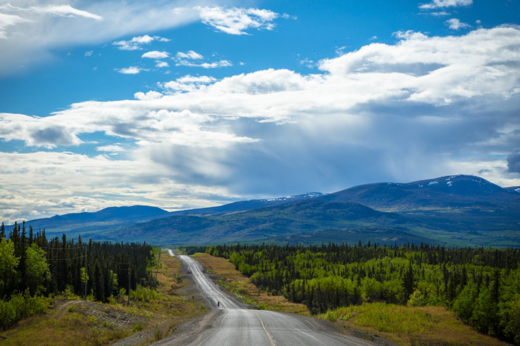
Day 5 Million Dollar Falls to Haines Junction (Pine Lake campground) 100 km (444 km total)
It rained overnight and we started a bit soggy in a drizzle but spotted a porcupine next to the road which was novel enough to lift our spirits. Since we still had elevation to lose from White Pass before we reached Haines Junction, the ride was mostly short uphills followed by longer descents and occasional sections of flat near Dezadeash Lake and Kathleen Lake.
We ate lunch at Kathleen Lake still under overcast skies but we got a little info on the area from a National Parks employee. We were specifically inquiring about the Donjek route in Kluane National Park (Kathleen Lake is also part of the park) which we planned to complete two weeks later. She was enthusiastic but a bit reserved about the state of the route given that no one else had been on it this year.

We rolled into Haines Junction in sunny conditions and ate a snack at the highly touted but, in all honesty, very ordinary bakery before immediately sating our burger lust at the nearby “Frosty’s” restaurant. I watched the NBA playoffs while Brittany edited photos. Bike touring exists in a weird intermediate world for me between regular life and truly roughing it while hiking. Essentially I spend the day filthy, I work hard, and I sleep in a tent but I still get to eat in restaurants and watch TV. And in that moment I wanted nothing more than to watch TV. The headwind had abated somewhat on this day but it was still the fourth out of five days with that particularly frustrating handicap. I’ve never been able to just accept the wind while biking.
Where we came from… 
… where we’re going (Painted Mountain)
We rode another couple of kilometers towards Whitehorse where we slept at yet another Yukon government campground – Pine Lake. The friendly Swedish couple next door housed our food for the night but we didn’t accept their offer of a hose-off in their solar shower. They were one of a few Europeans we saw who had shipped huge military-style trucks across the ocean to road trip with rather than rent.

BK portrait 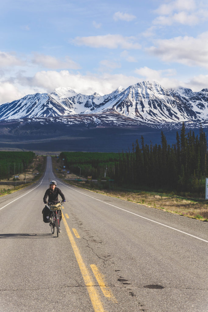
Riding to Pine Lake 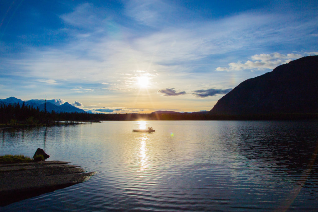
Pine Lake 
Pine Lake and Painted Mountain
Day 6 Haines Junction to Whitehorse 160 km! (604 km total)
We woke up after another drizzly night, but now with sunshine in the sky, and discussed the possibility of riding to Whitehorse in one day. It would provide us with a flat opportunity to fulfill the arbitrary goal of riding a true century – 100 miles in a day – and the closest I had come before was 152 km (8 km short). We didn’t yet commit but decided to get on the road and judge how our bodies and the wind felt.
Typical landscape between Haines Junction and Whitehorse 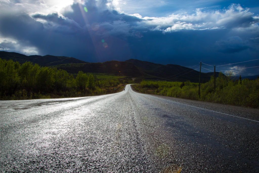
After a brief storm
We had been forewarned by numerous people that this stretch of highway was the most boring of the trip but, as I already said, I give that dubious honour to the road between Whitehorse and Emerald Lake. Instead, with the dreamy possibility that we could do a fully loaded century coupled with a light tailwind, we found the rolling hills, small mountains, and larger rivers of this section to be pleasant riding.
After a short-lived but intense rain shower near the eastern entrance to Champagne, my motivation started to wane. At 83 km I wanted to stop and make camp but fortunately was flogged on by Brittany with help from two facts: there isn’t really any place to camp and we had yet to see any appetizing water all day and we were now out after starting with 4 liters.
I agreed to push on for 20 km to the Takhini River where I planned to resume my argument to camp after we drank our fill. On the way we saw a couple of elk and I started to have fun again. We reached the river and it’s cloudy water didn’t invite gathering some for a drink. By the end of our three weeks in the Yukon we would end up drinking water a lot more suspect than that from the Takhini but we weren’t ready to accept that fate quite yet.
Instead, we decided to continue 34 km without water to the nearest gas station. Since at that point we would have traveled 137 km on the day, I decided to join Brittany behind the century idea wholeheartedly.
I’ll admit those 34 km were hard and slow, perhaps because they included 14 km of road work and was punctuated a couple of times for my mad dashes into the bushes next to the road for some emergency, uhhh, relief. Pushing hard in the sun without water wasn’t making for a happy stomach. Thankfully we found a clear stream before we reached the gas station so we got a head start on hydrating but we still pounded king cans of pop at a laundromat once we were inside city limits.
City limits – something like 20 km still to go 
Dropping the last hill from the airport to the city
We called our friend Julie to ask if we could show up to camp in her yard a day early and, with her consent, calculated how much mileage we would accumulate from our location to her house and discovered we would be 8 km short of the magic number. In order to satisfy our baseless urge for that nice round 100 miles, we took a detour around the airport and entered Whitehorse from the south instead of the north. Once back in the Riverdale neighbourhood we were still 1 km short so we wound up and down the streets before rolling up to her front door basically at 160 km on the dot.

Leaving over the rotary bridge on day 1 
Returning over the rotary bridge evening 6.